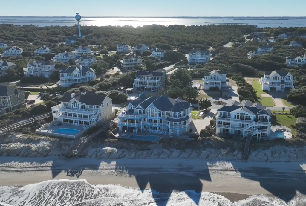
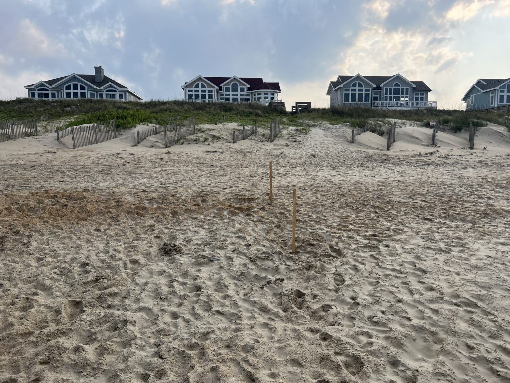
Currituck County commissioned this Beach Management Plan (Plan) to serve as a framework for the management, protection and restoration of the County’s 22.6 miles of oceanfront beaches and dunes. The Plan addresses various coastal hazards including long-term erosion, storm impacts, and sea-level rise. The Plan provides a long-term vision for Currituck County to sustain the beaches that support a significant portion of their local economy and maintain the tax base located along the County’s beaches.
 As Currituck County elected officials and staff, as well as the general public, review this draft document, consideration should be given to the Alternatives evaluated in Section 4 for the various Reaches. Feedback is requested on whether other reasonable alternatives should be considered in the feasibility analyses of the four (4) reaches identified for active beach management.
Furthermore, as this draft document is reviewed by County elected officials and staff, and the general public, consideration should be given to the assumptions made in the Feasibility Analysis included in Section 4. While evaluation of technical aspects of the engineering and environmental impacts have been made based on considerable experience working on similar projects, general assumptions have been made using best judgment on potential monetary losses on behalf of the County and private property owners. If reviewers believe that additional considerations should be made in these assessments, comments submitted will be considered.
Once the County has had the opportunity to review this information, solicit public input on the recommendations, and provide feedback to the authors, a final section of the Plan will be added that will provide final recommendations for the proposed Beach Maintenance Plan including conceptual drawings and cost estimates for the recommended beach management alternatives.
Documents
- Beach Management Plan (PDF)
- Appendix A – 1D Cross-Shore Profile Plots for Hurricane Matthew (PDF)
- Appendix B – Impact Line Maps for 3 Simulated Storms (PDF)
- Appendix C – 1D Cross Shore Profile Plots for Storm Scenarios (PDF)
- Appendix D – 2D Inital and Final Topobathymetric MOdel Surfaces (PDF)
- Appendix E – 2D Pattens and Dune Crest Elevations (PDF)
Public Feedback
 Feedback is requested on whether other reasonable alternatives should be considered in the feasibility analyses of the four (4) reaches identified for active beach management. Furthermore, as this draft document is reviewed by County elected officials and staff, and the general public, consideration should be given to the assumptions made in the Feasibility Analysis included in Section 4.
While evaluation of technical aspects of the engineering and environmental impacts have been made based on considerable experience working on similar projects, general assumptions have been made using best judgment on potential monetary losses on behalf of the County and private property owners. If reviewers believe that additional considerations should be made in these assessments, comments submitted will be considered.