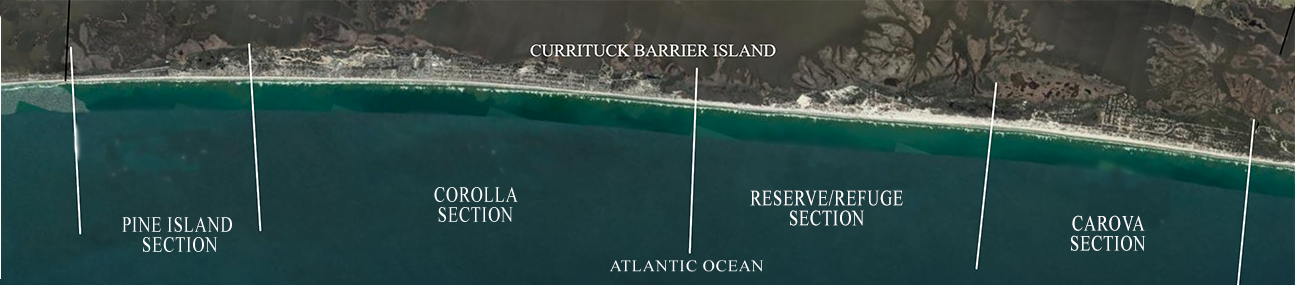
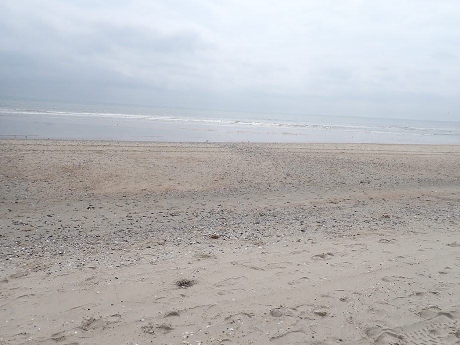
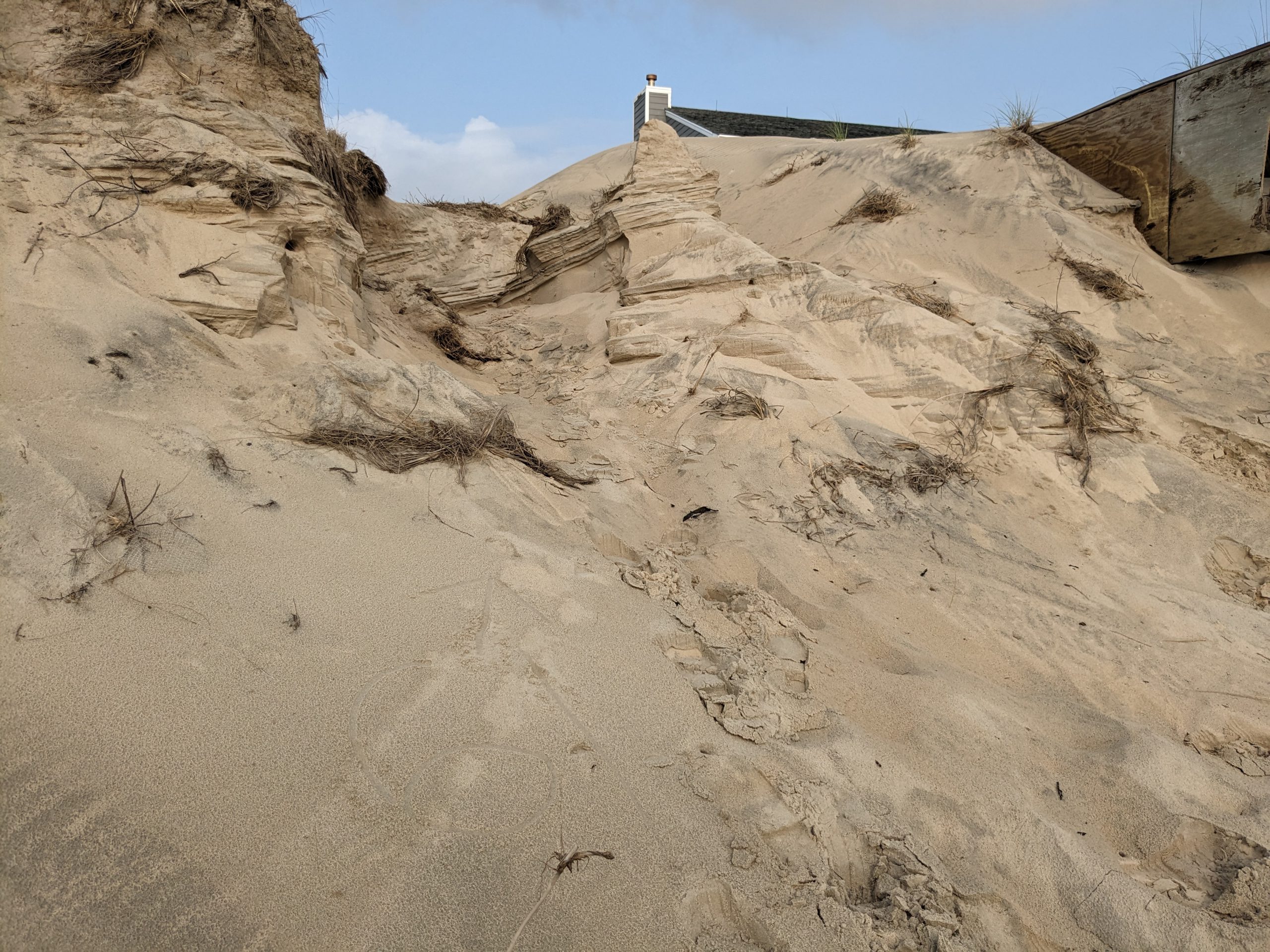
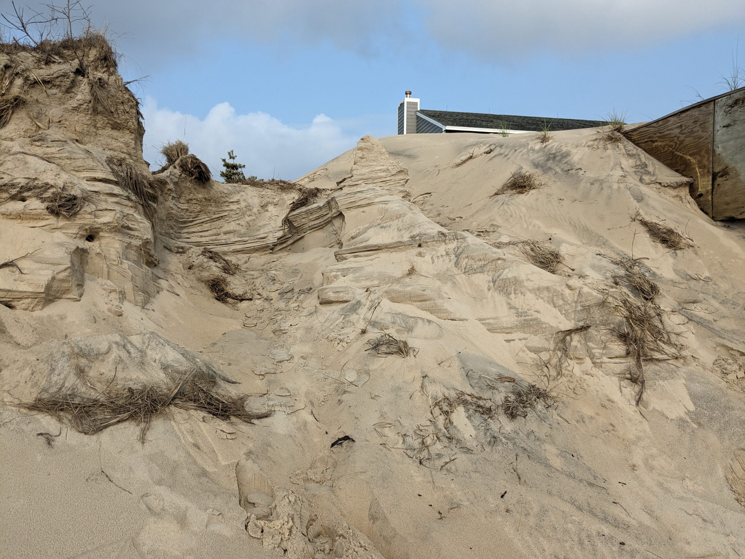
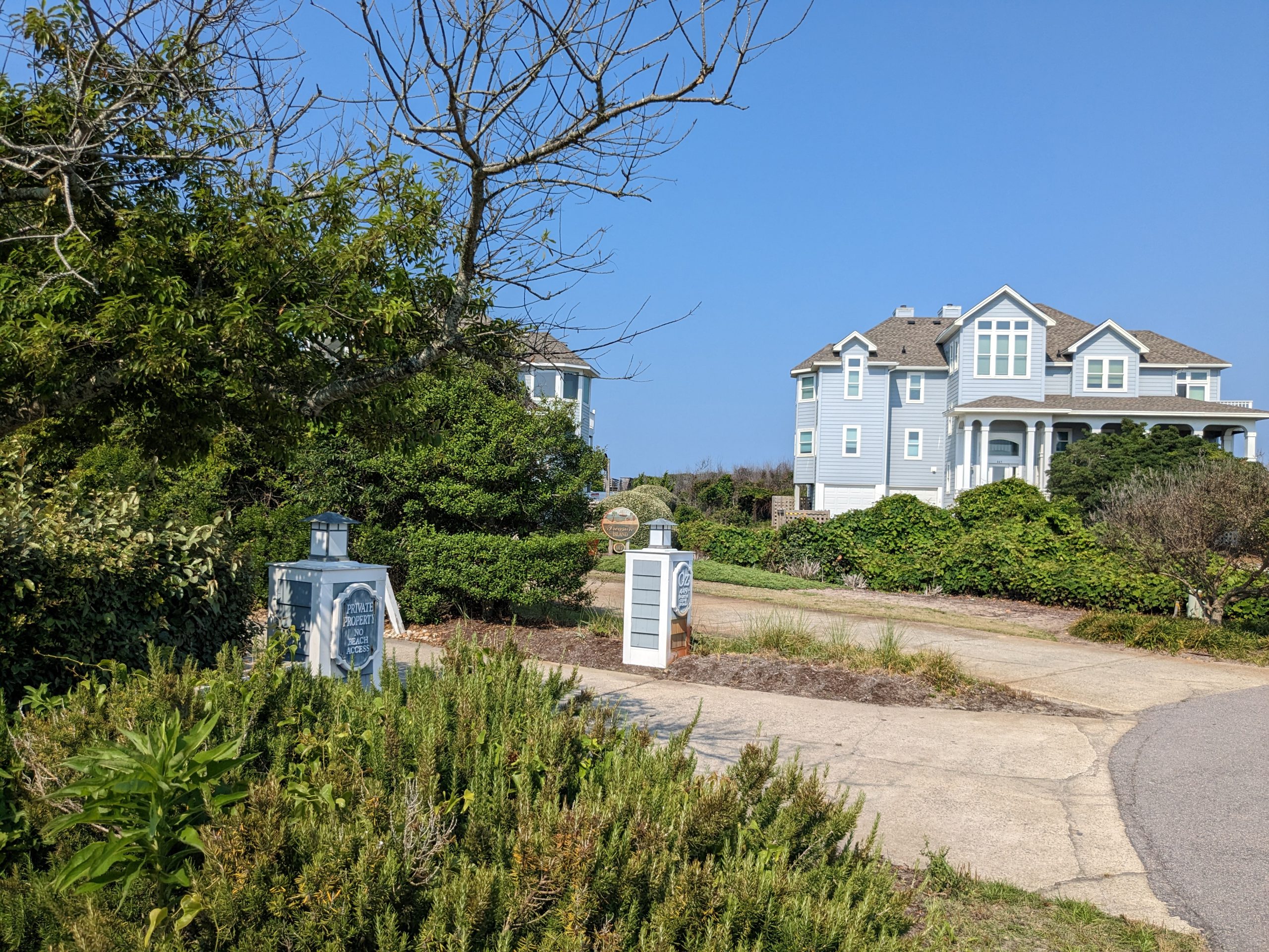
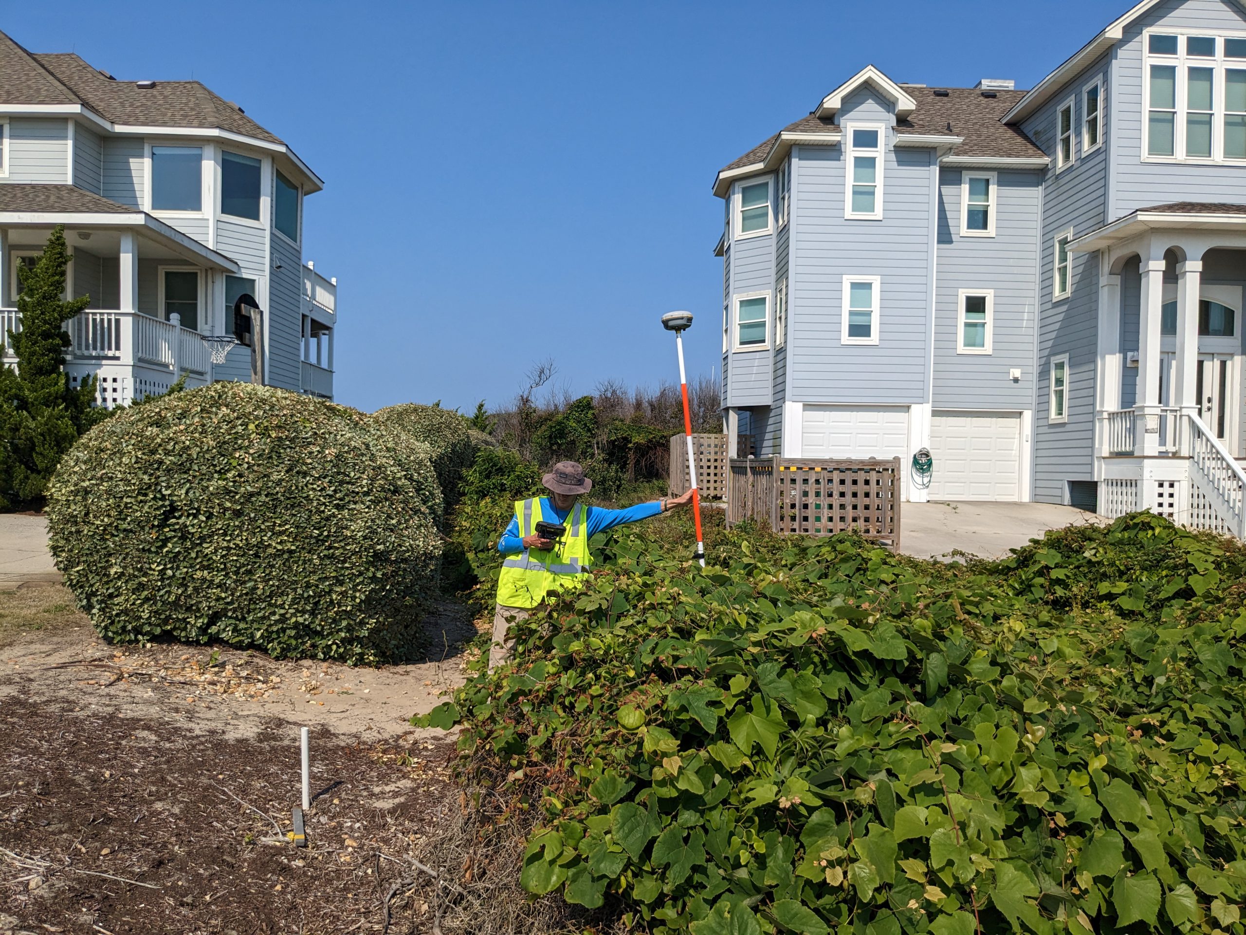
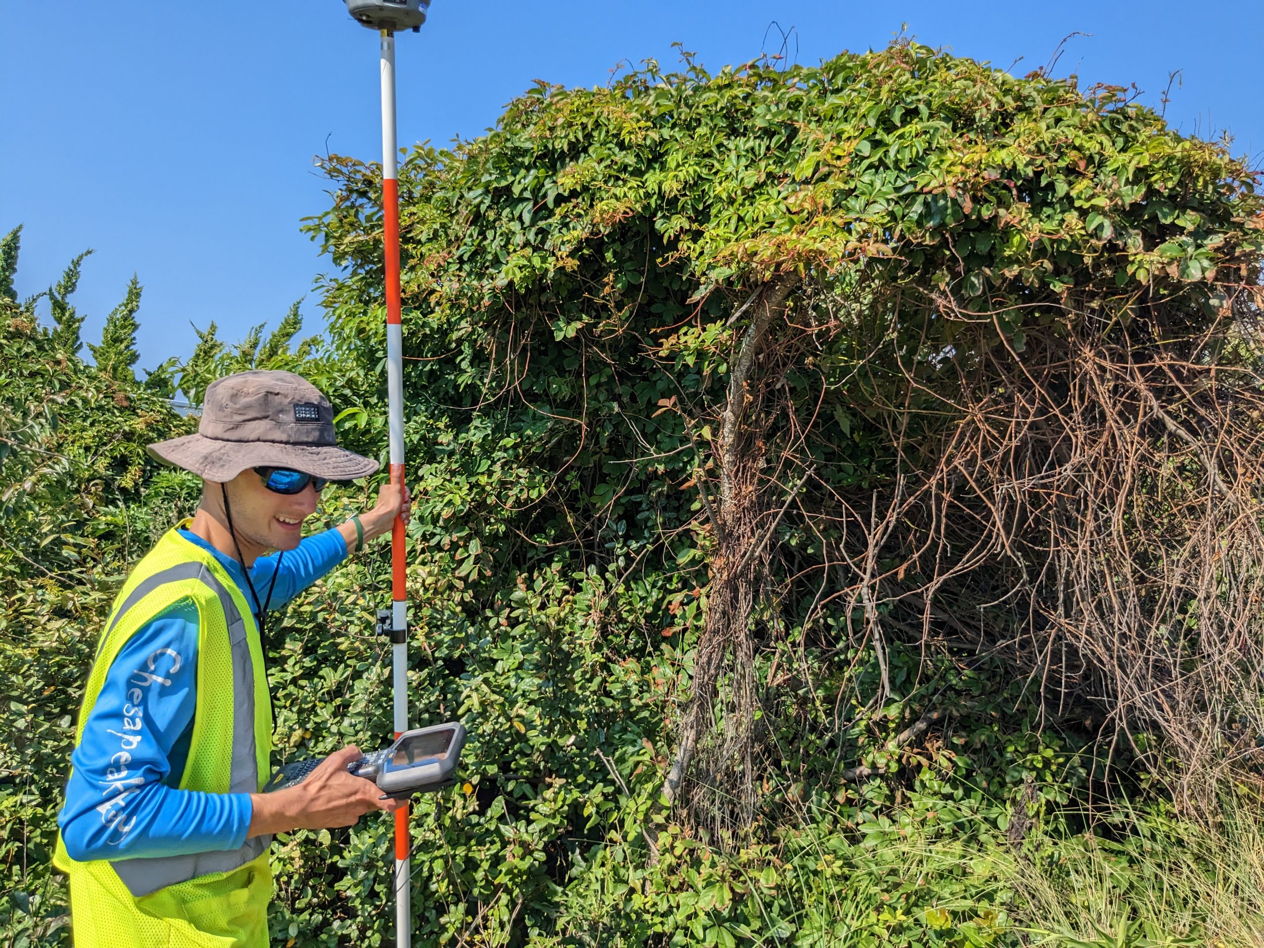
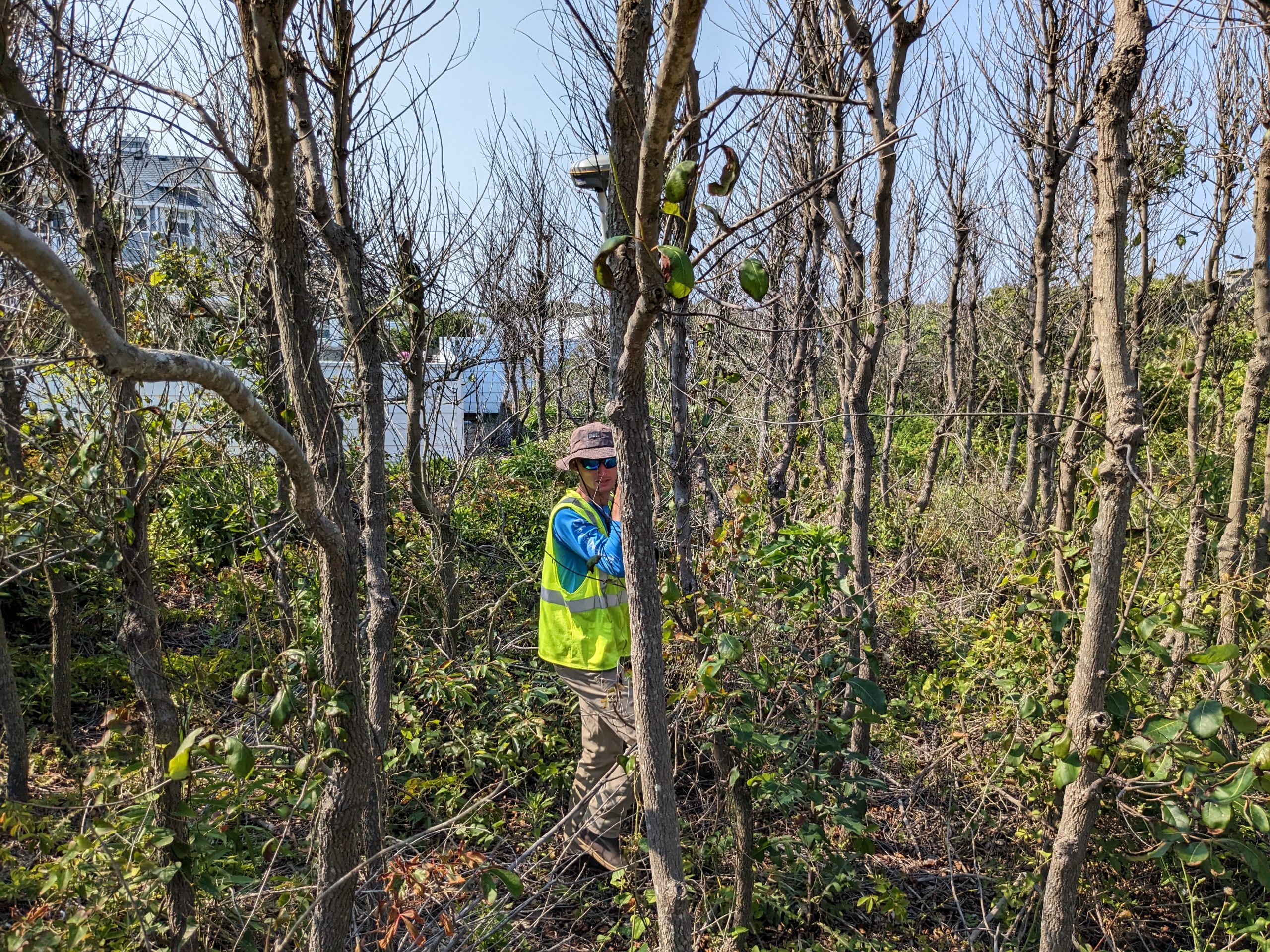
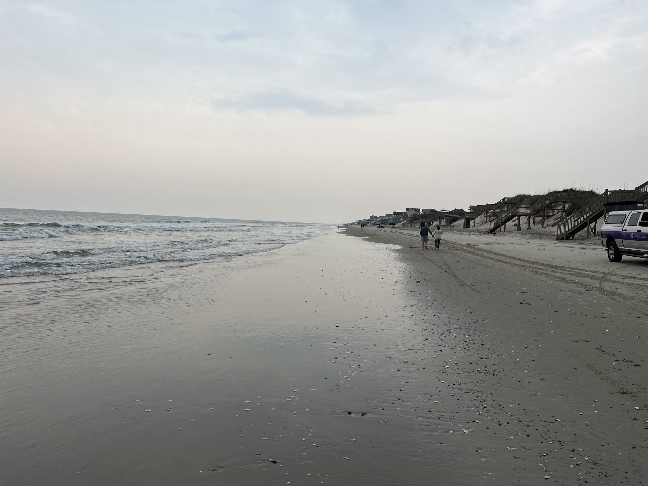
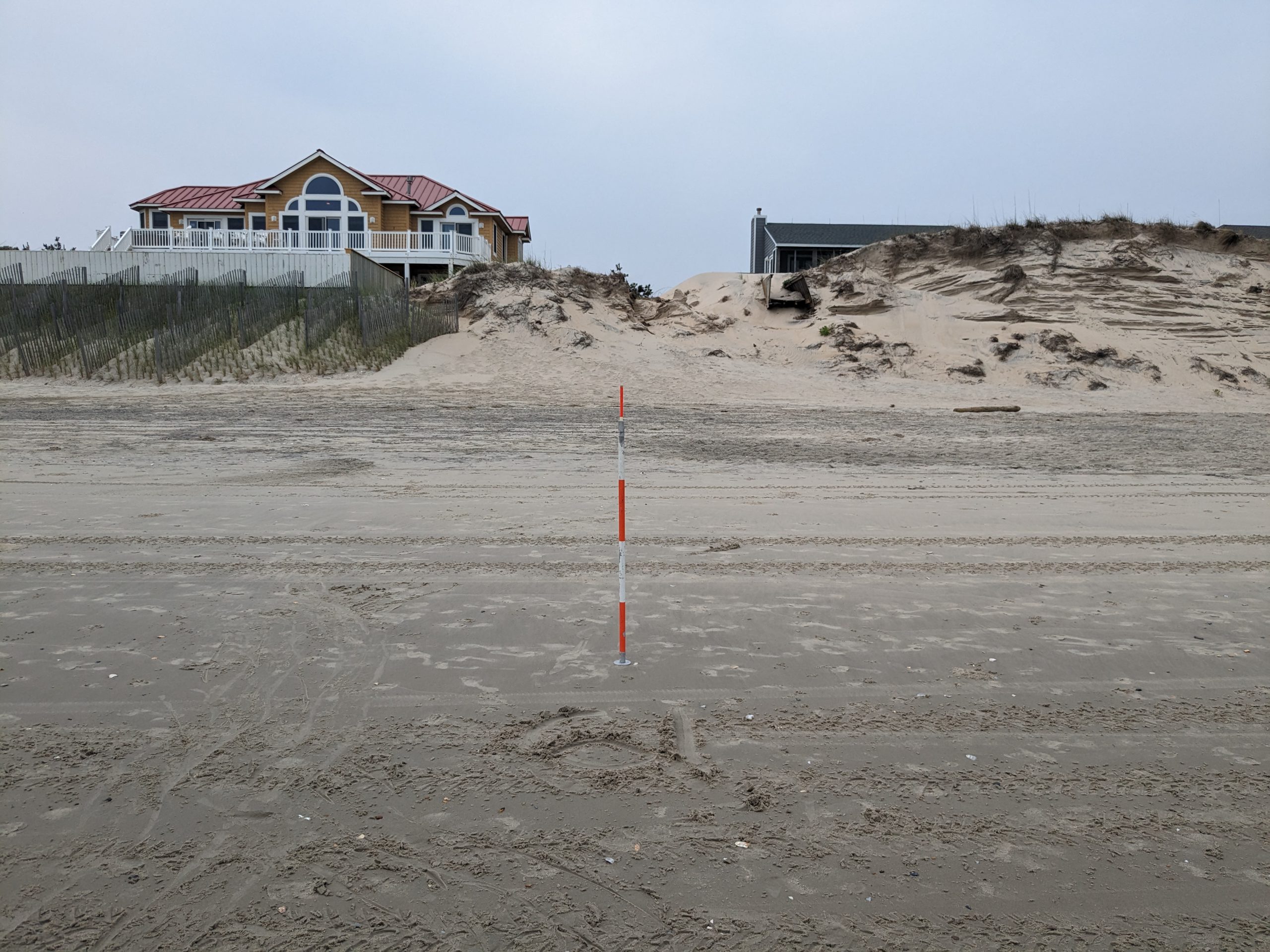
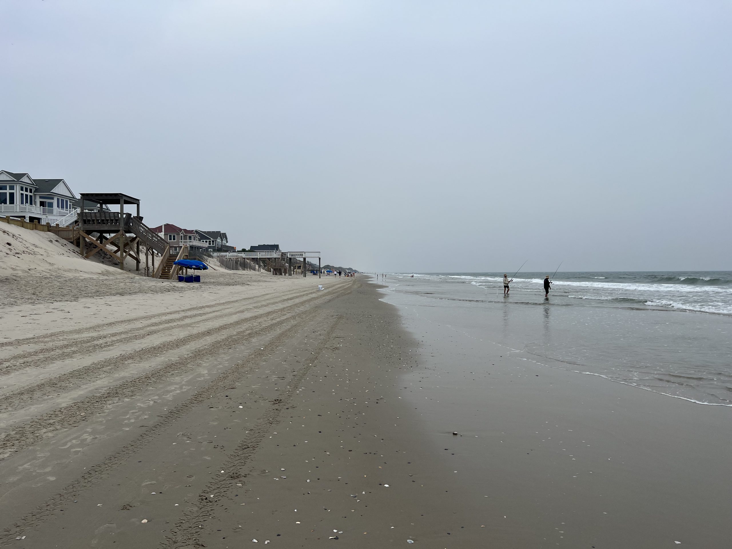
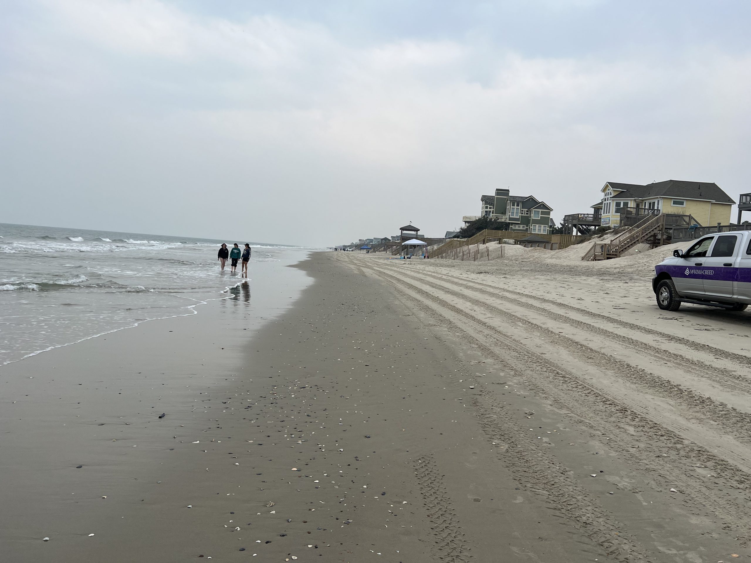
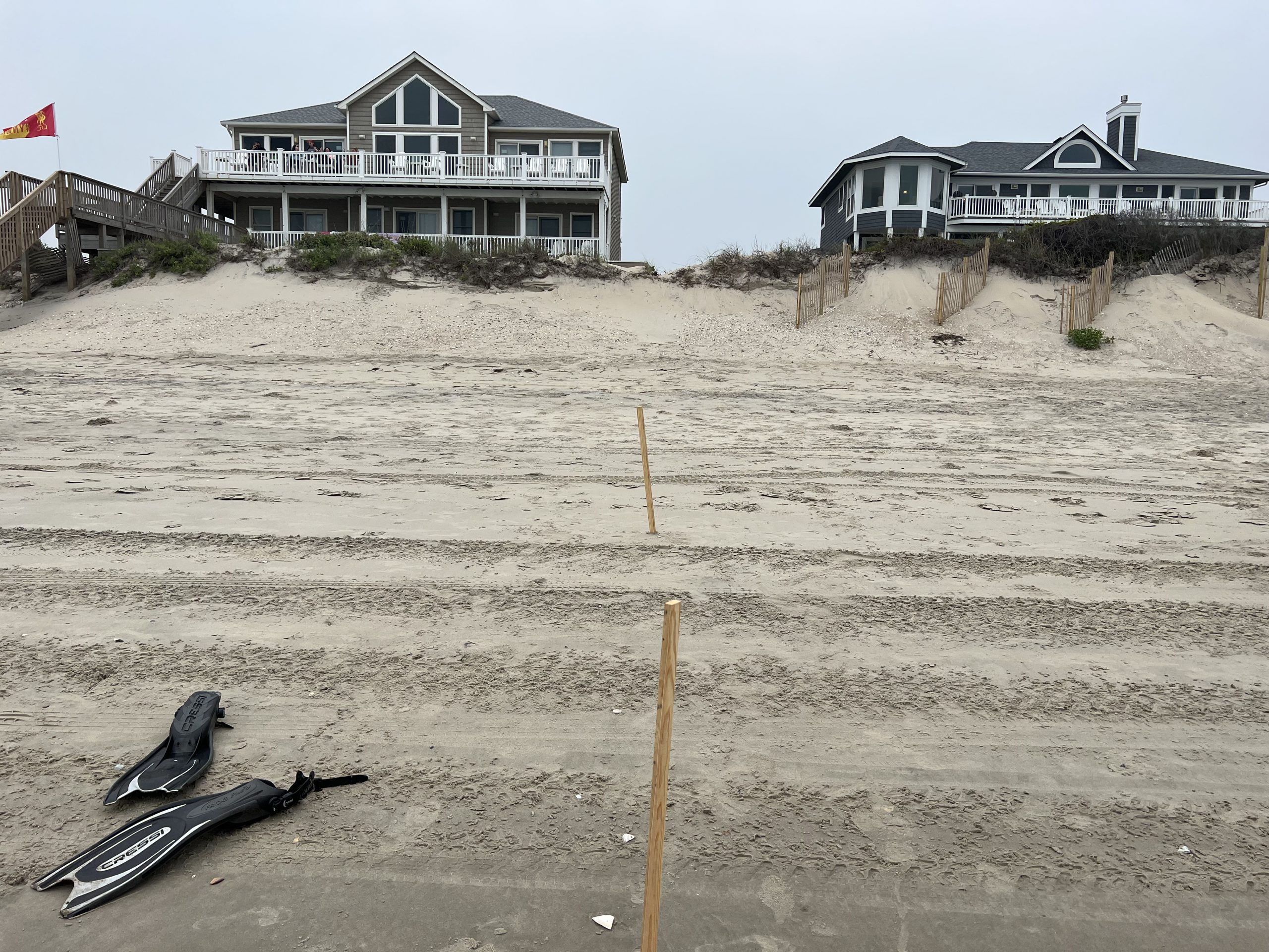
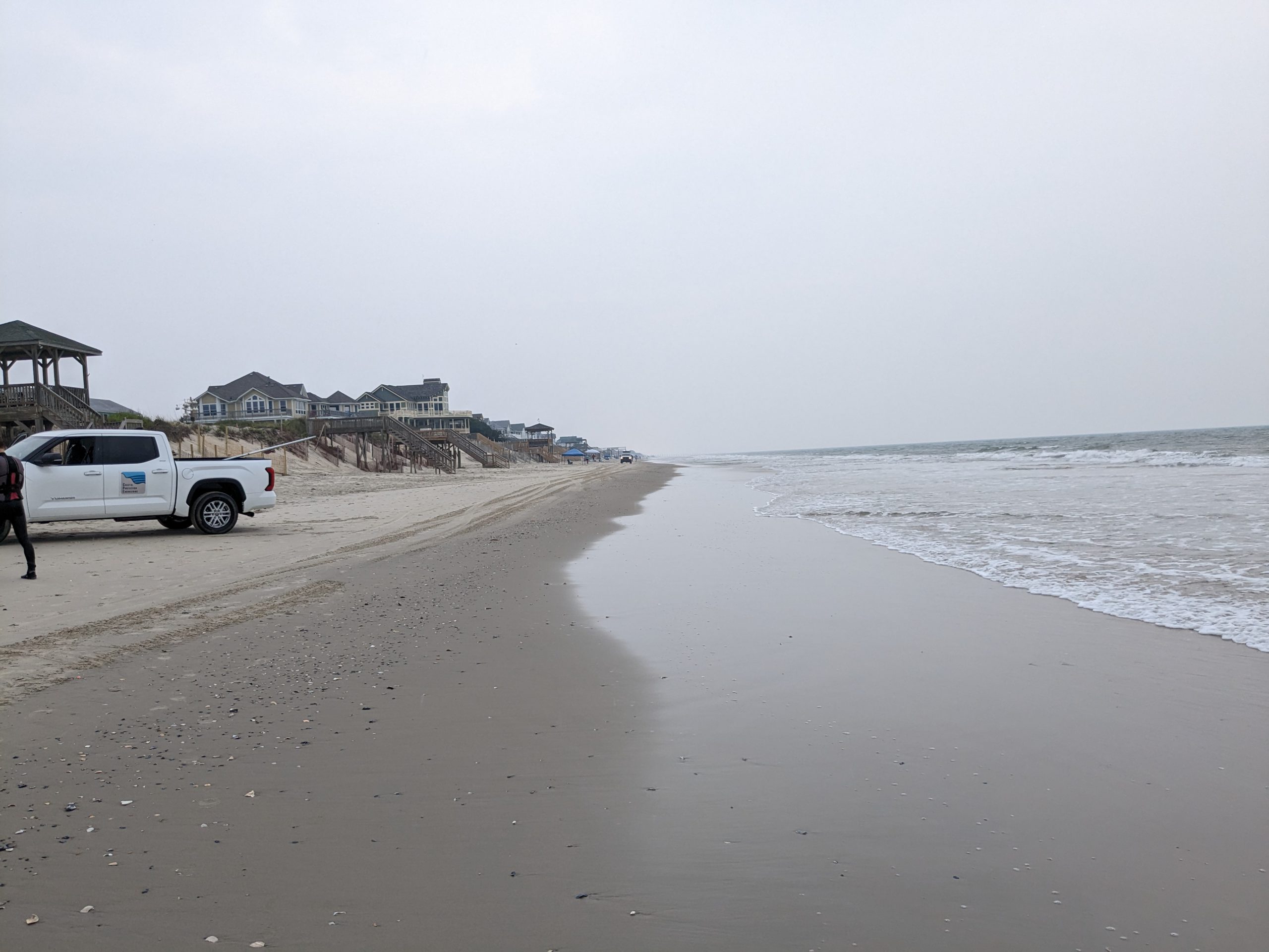
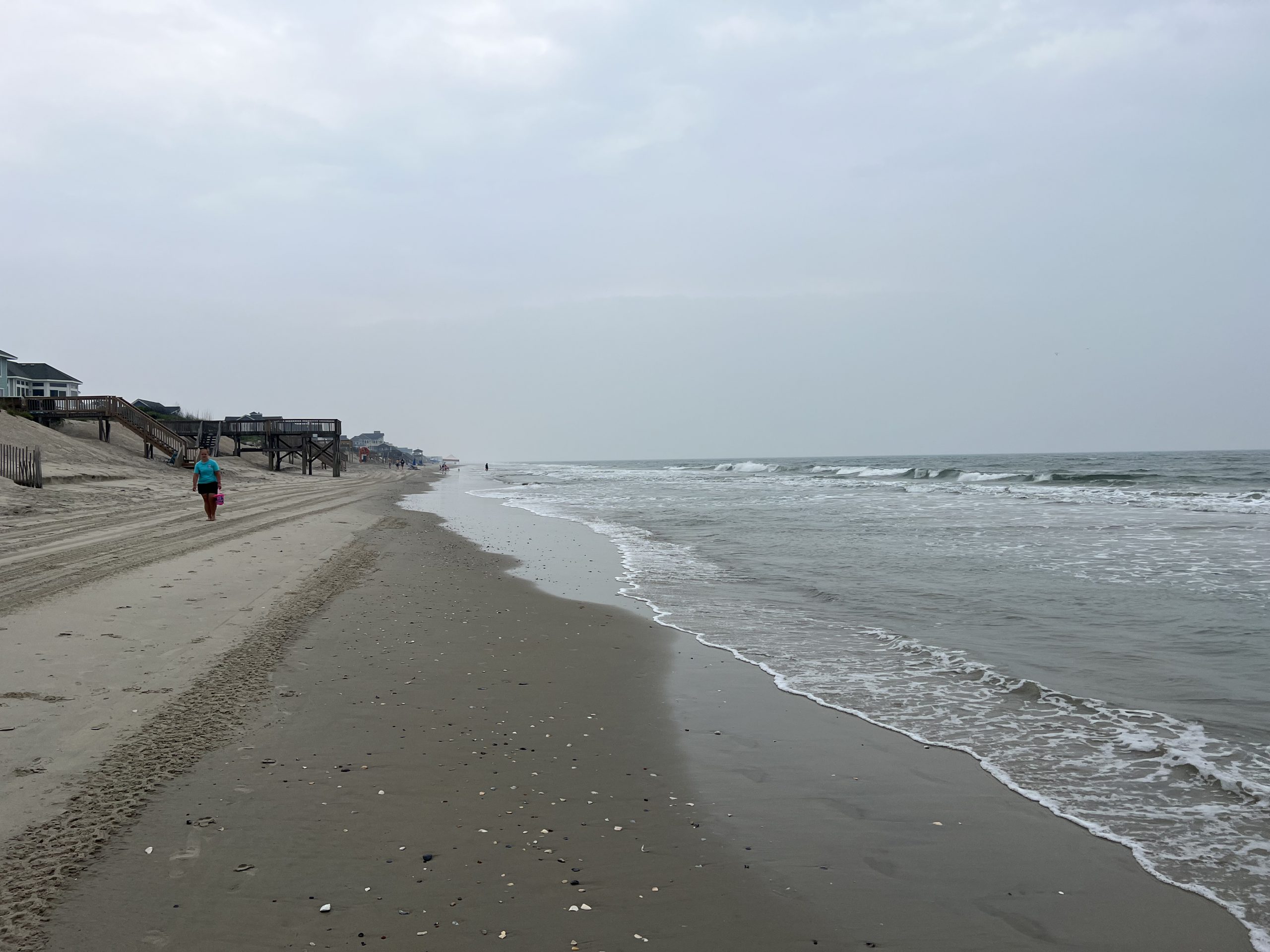
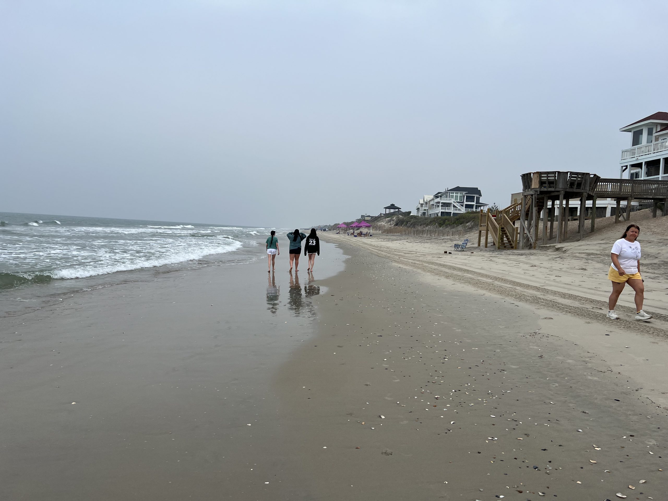
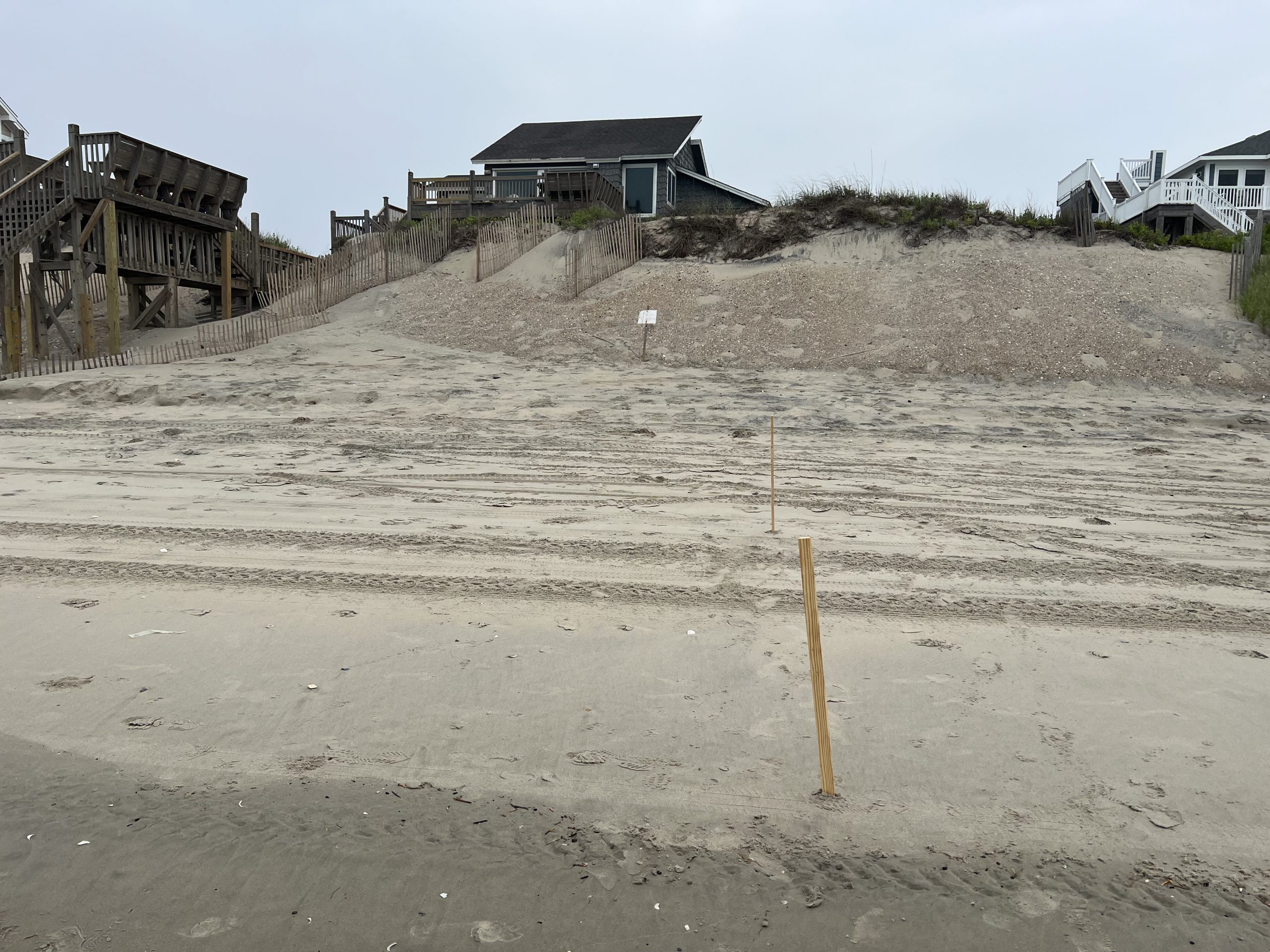
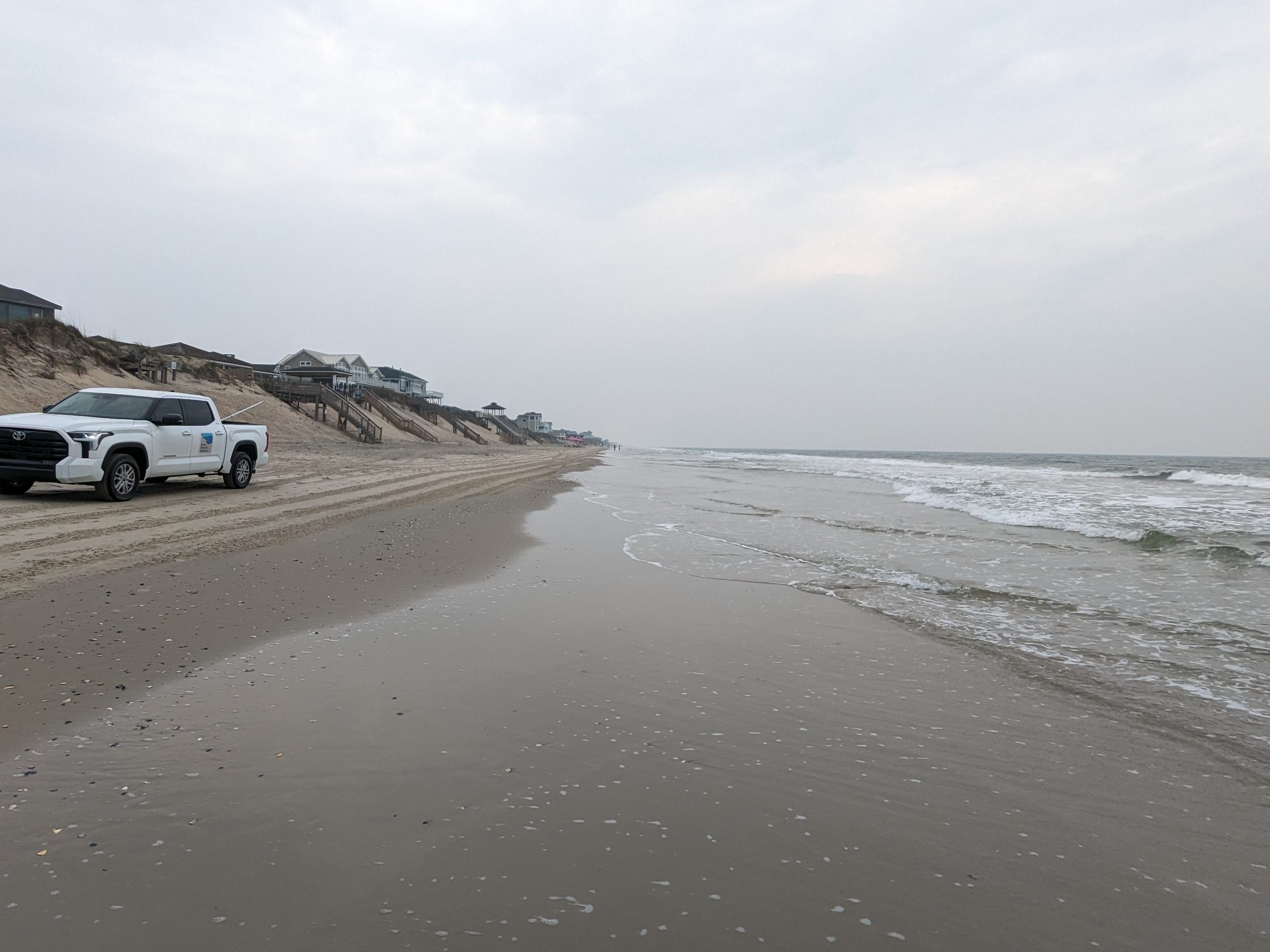
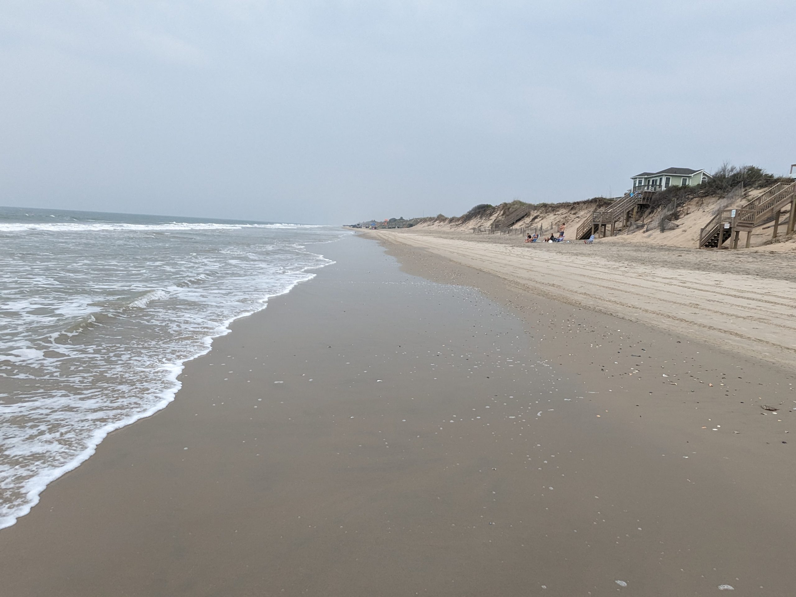
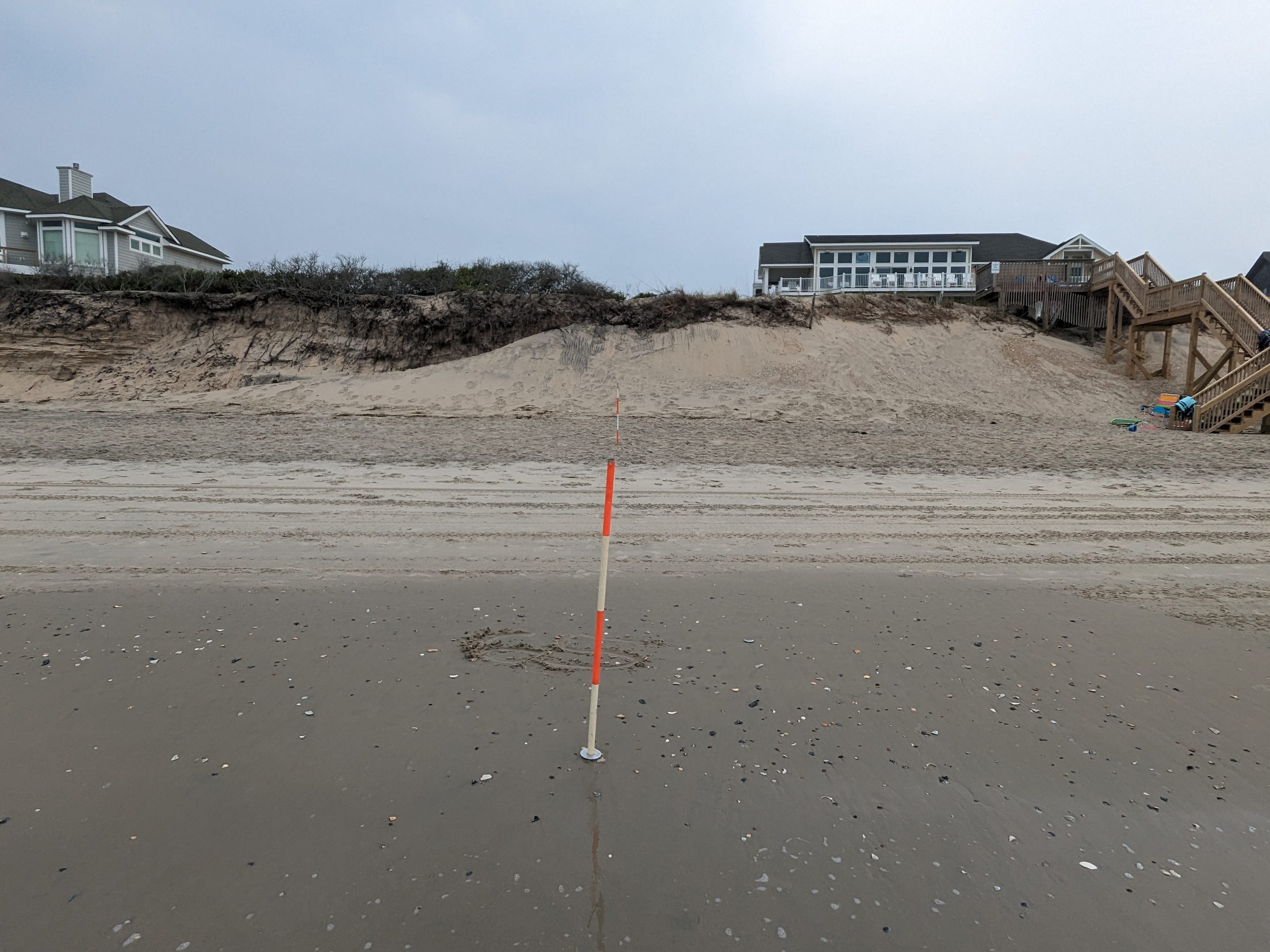
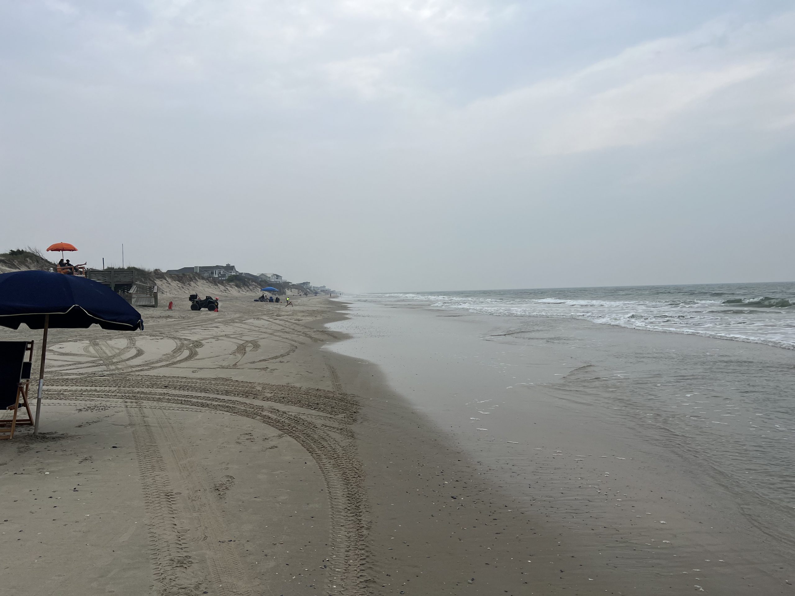
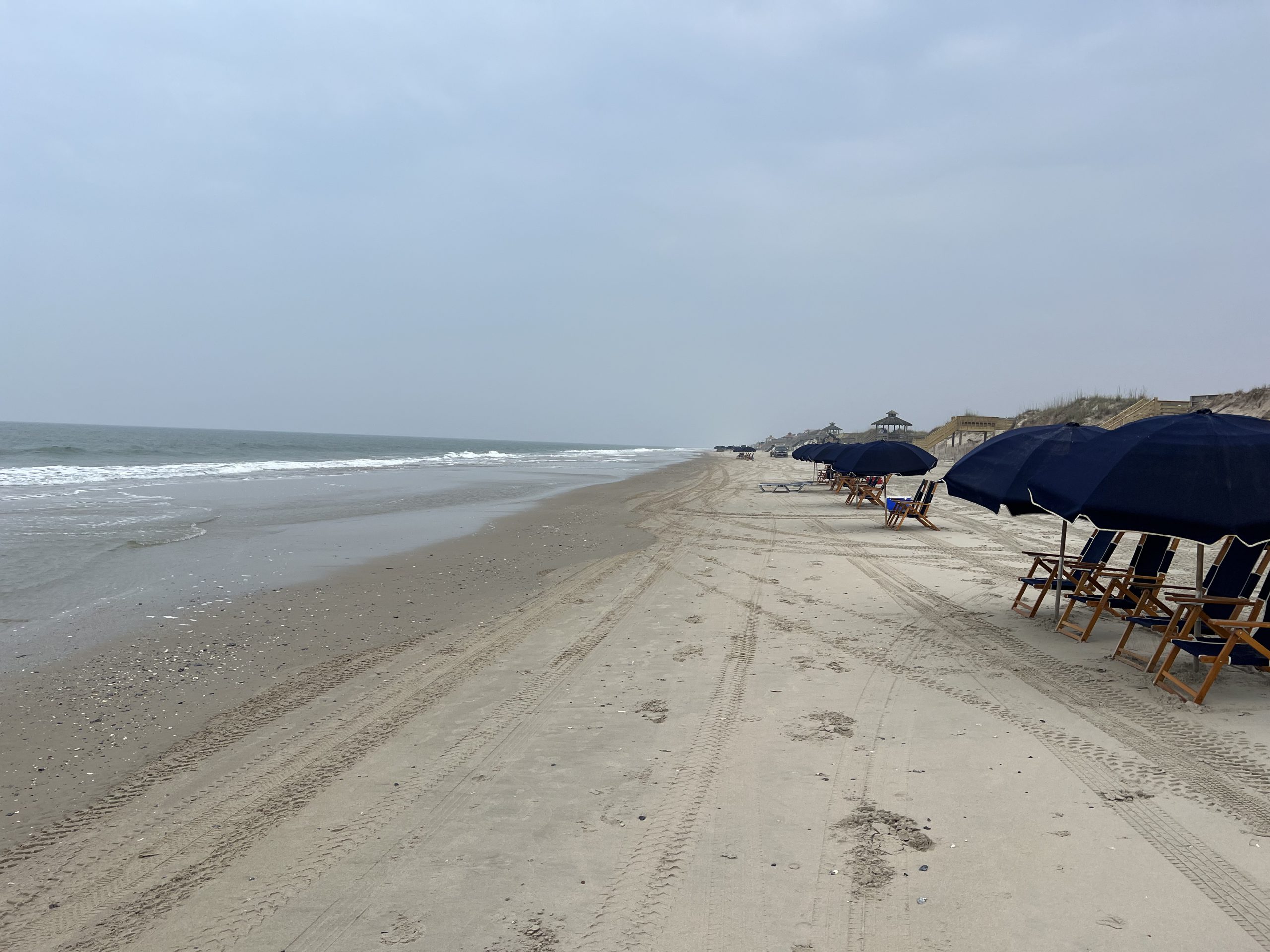
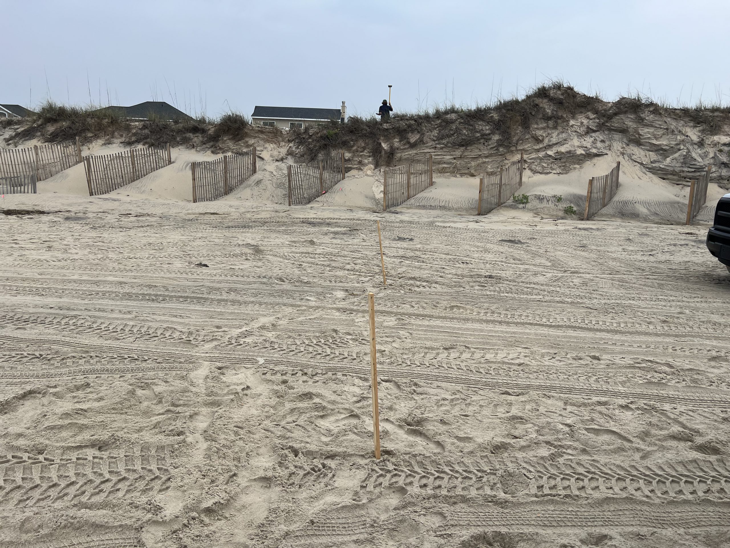
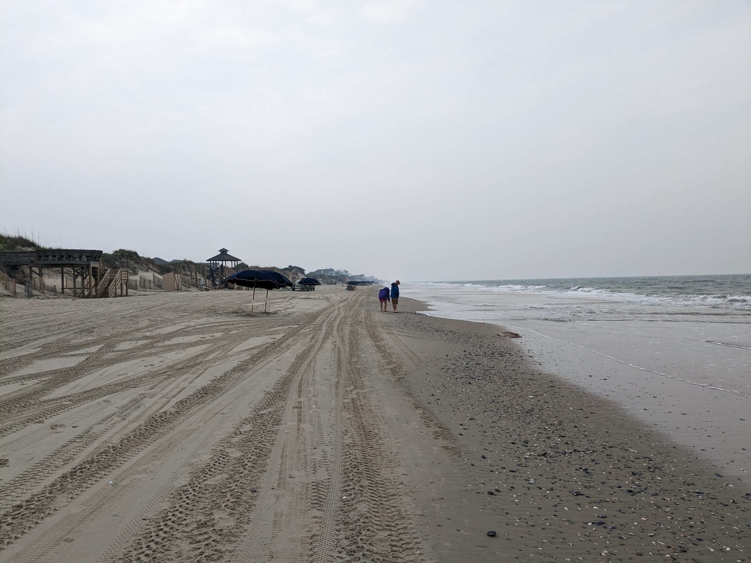
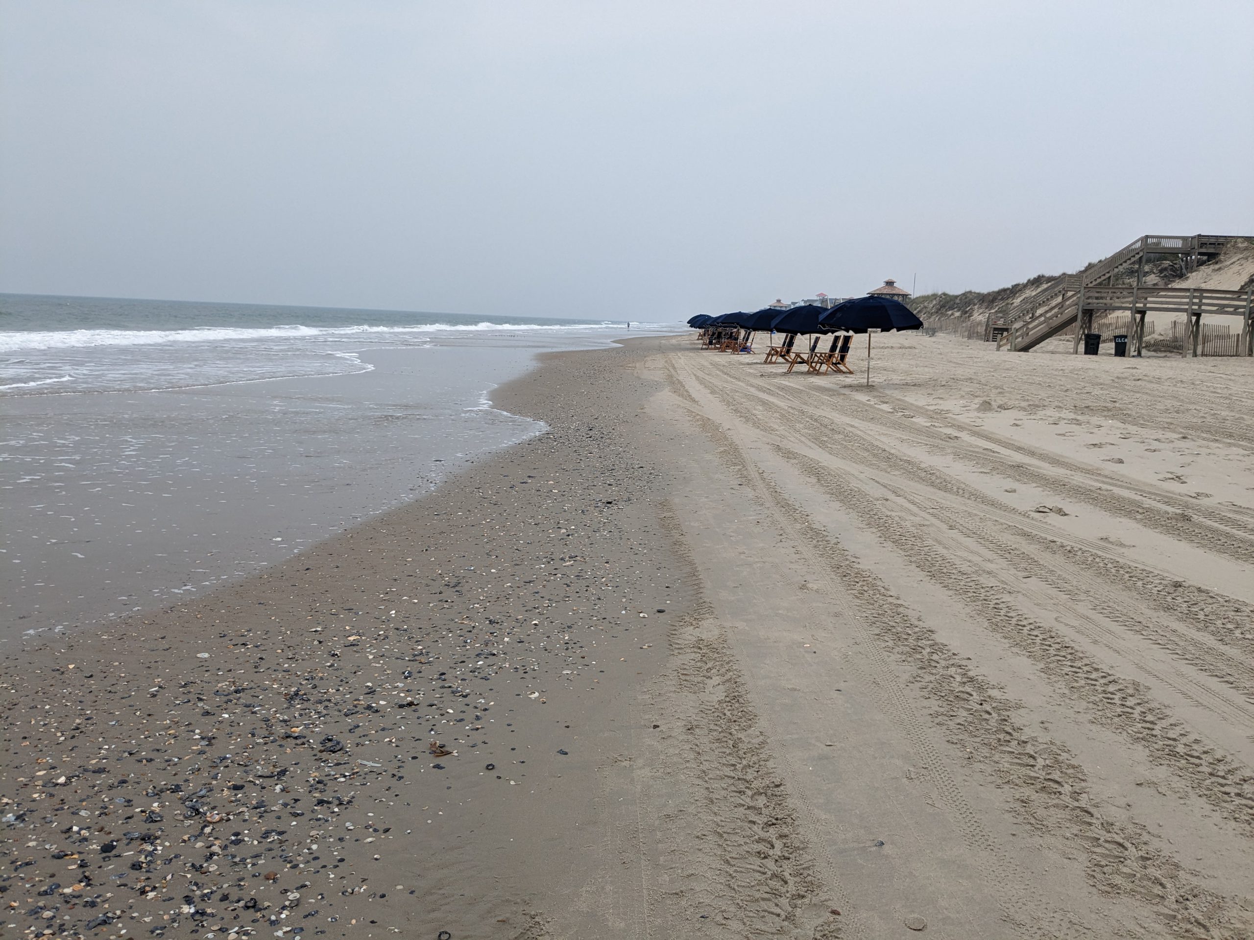
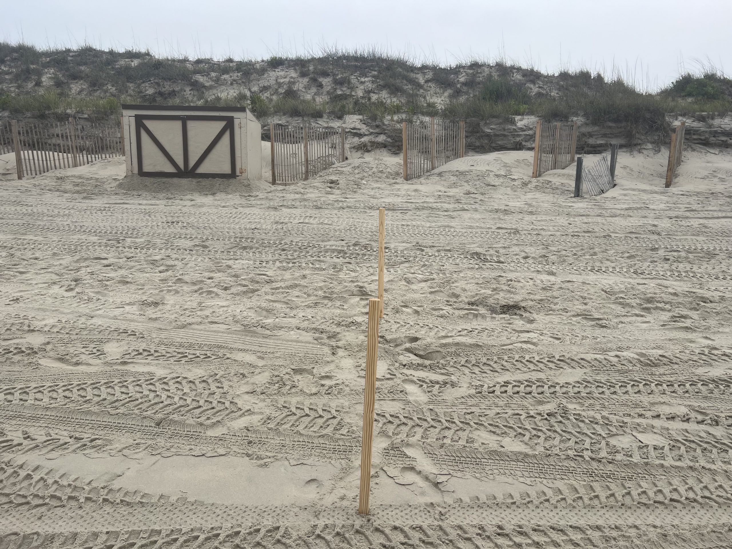
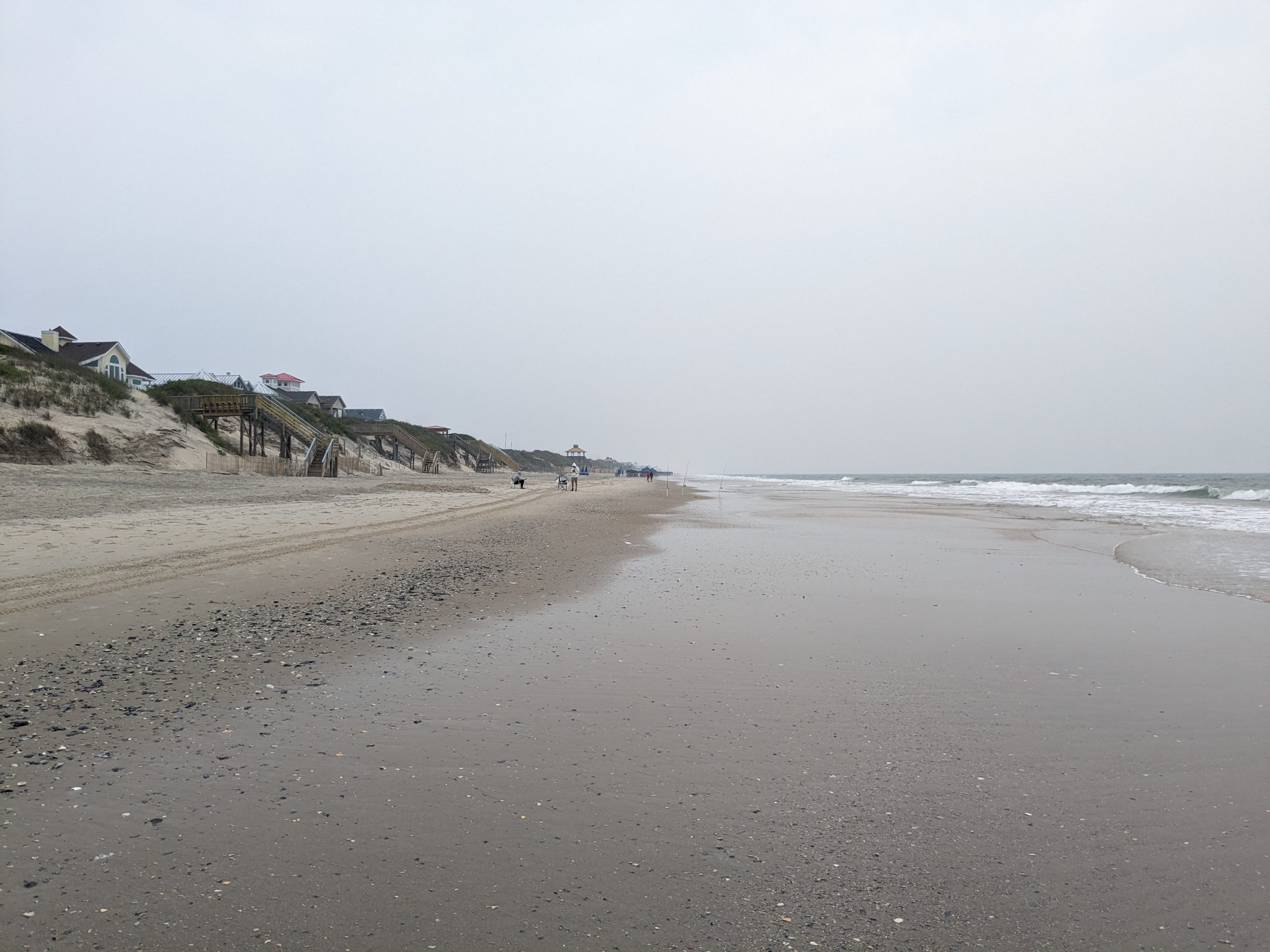
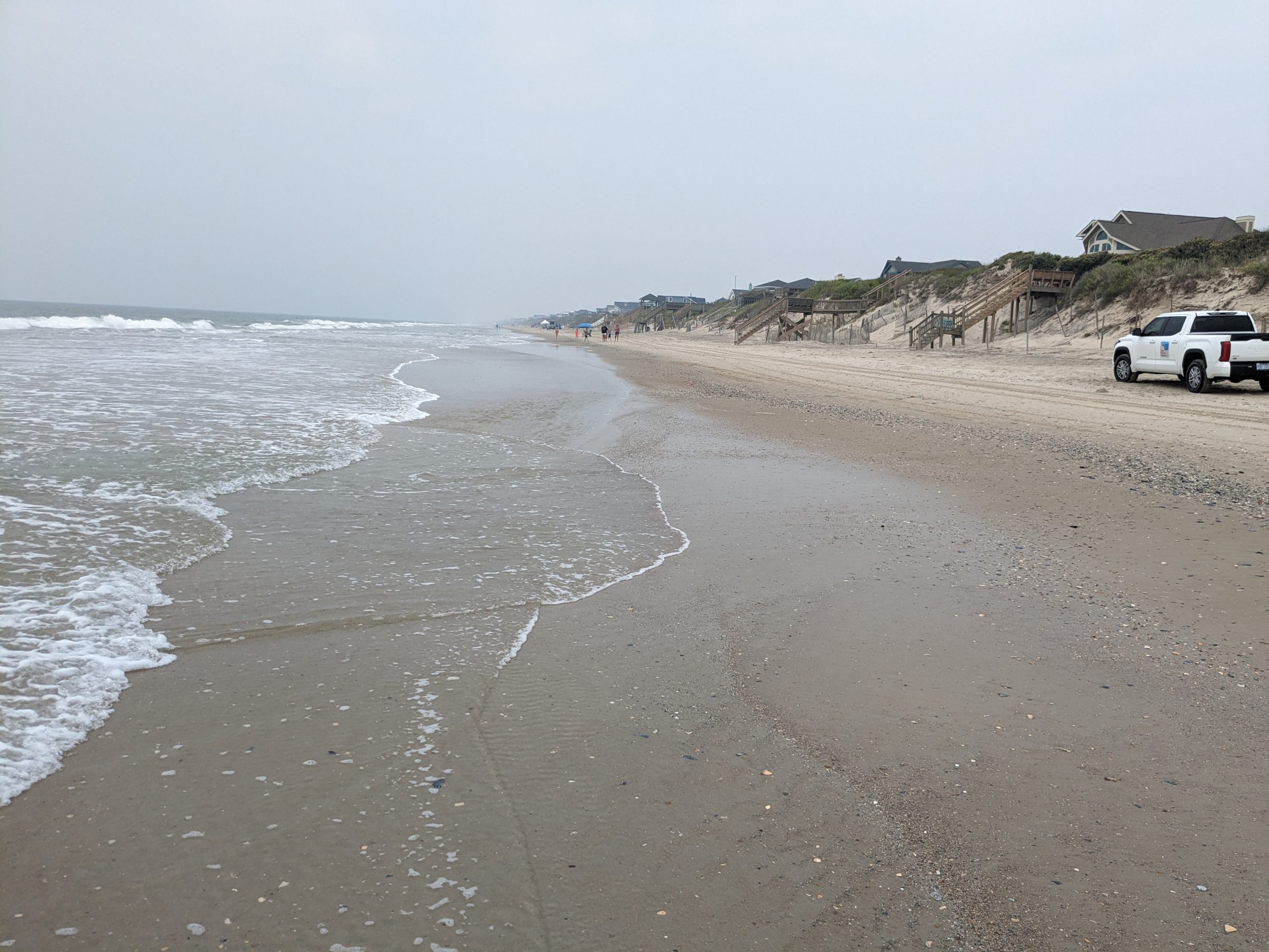
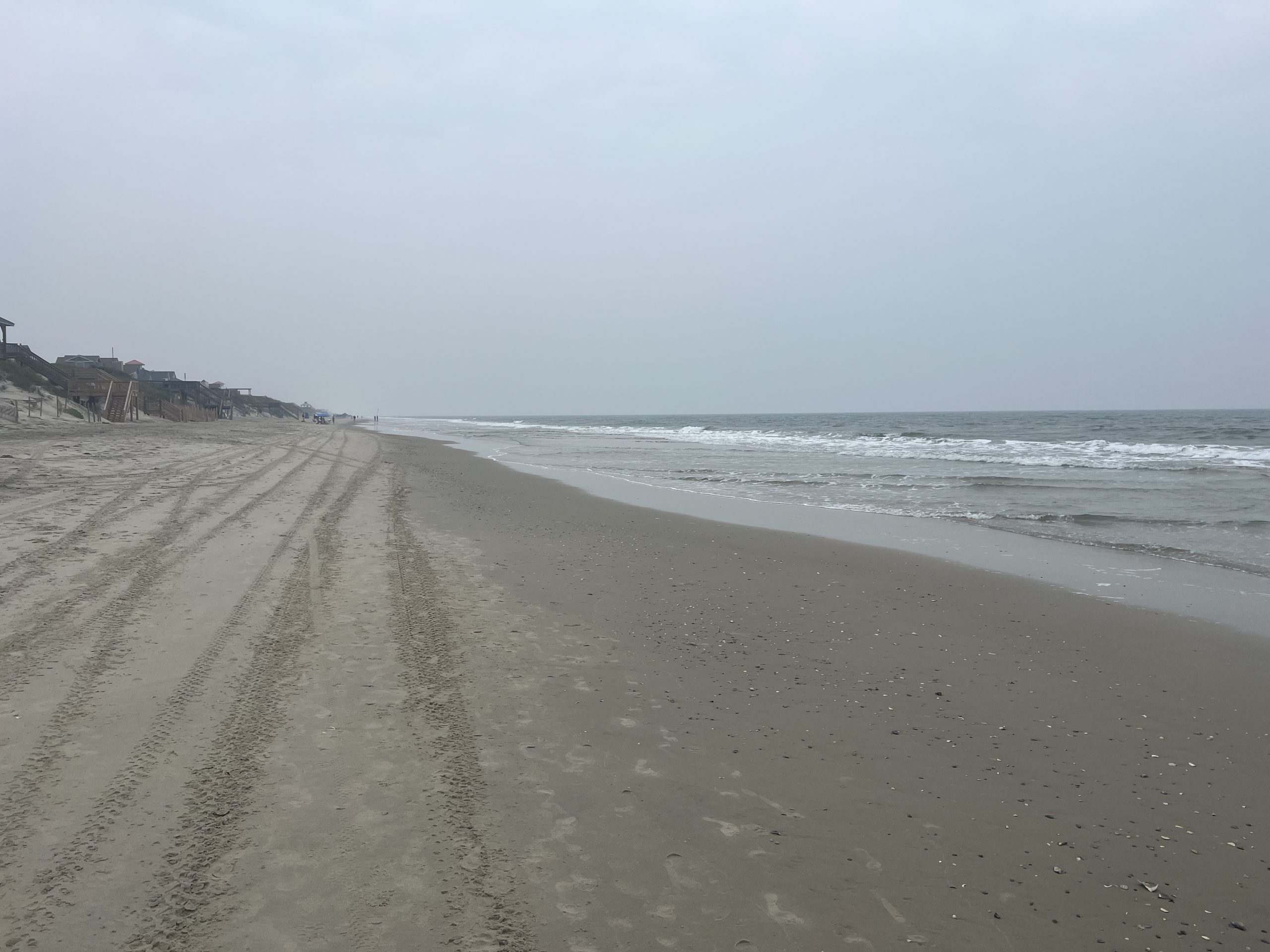
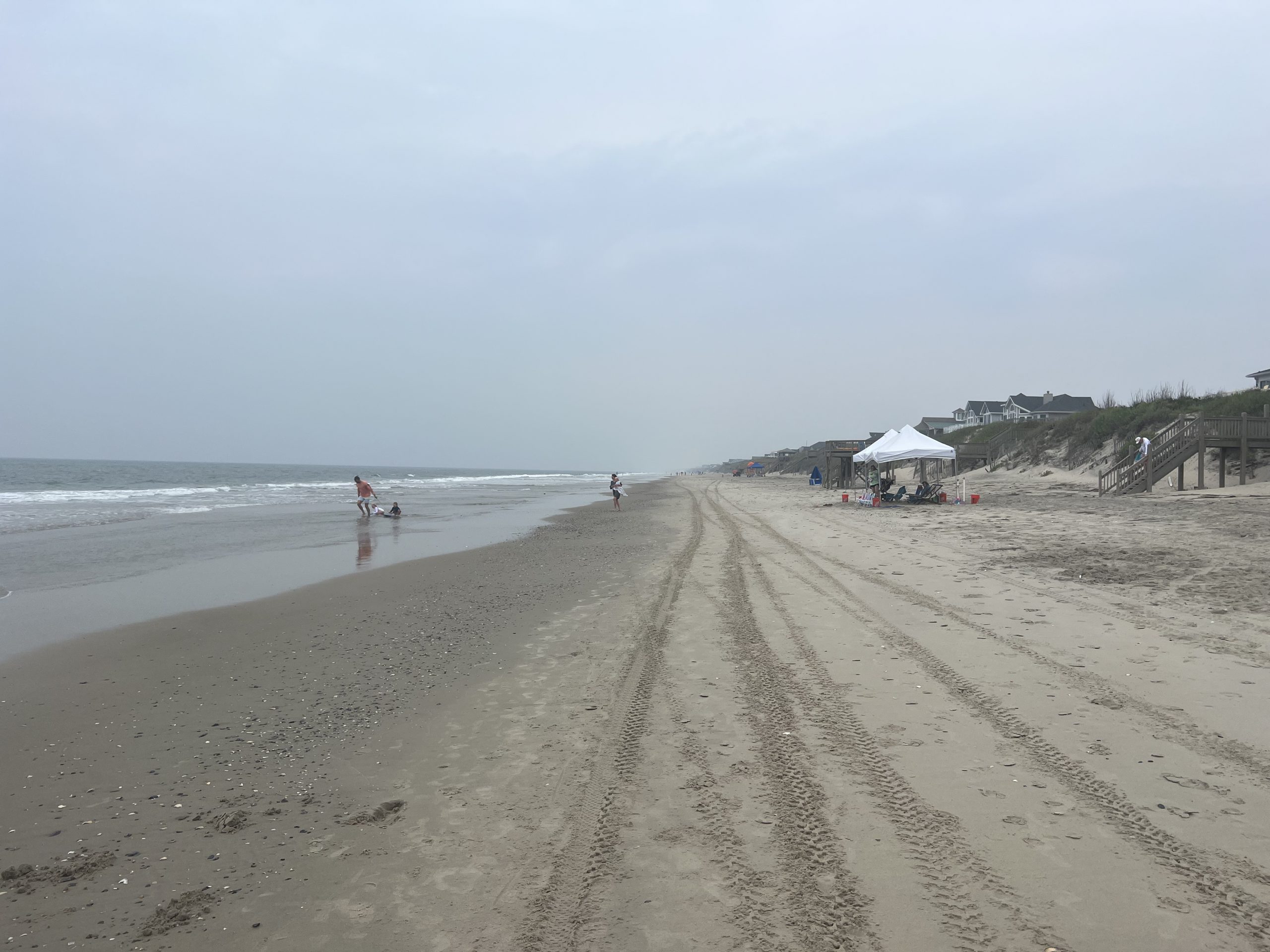
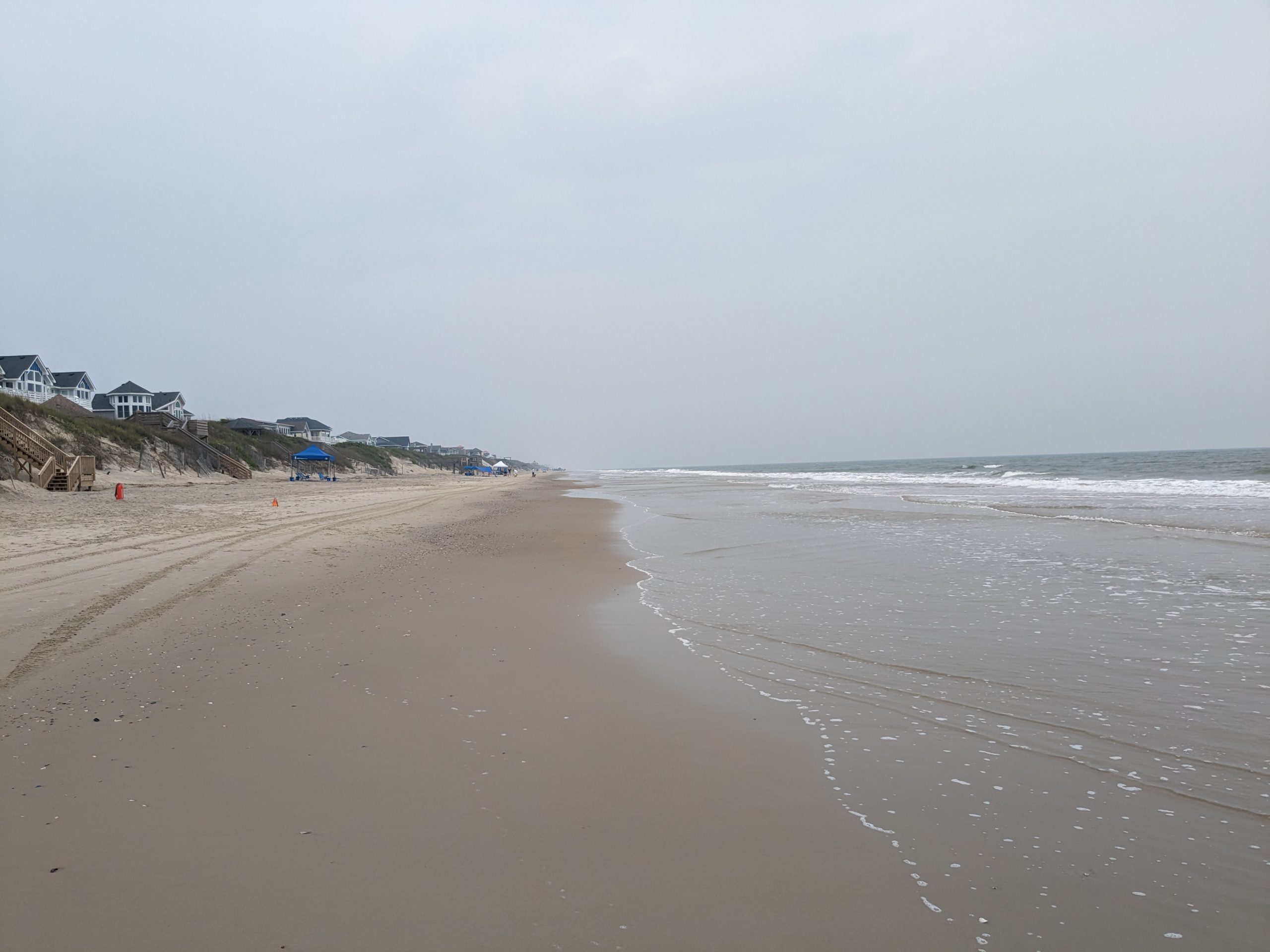
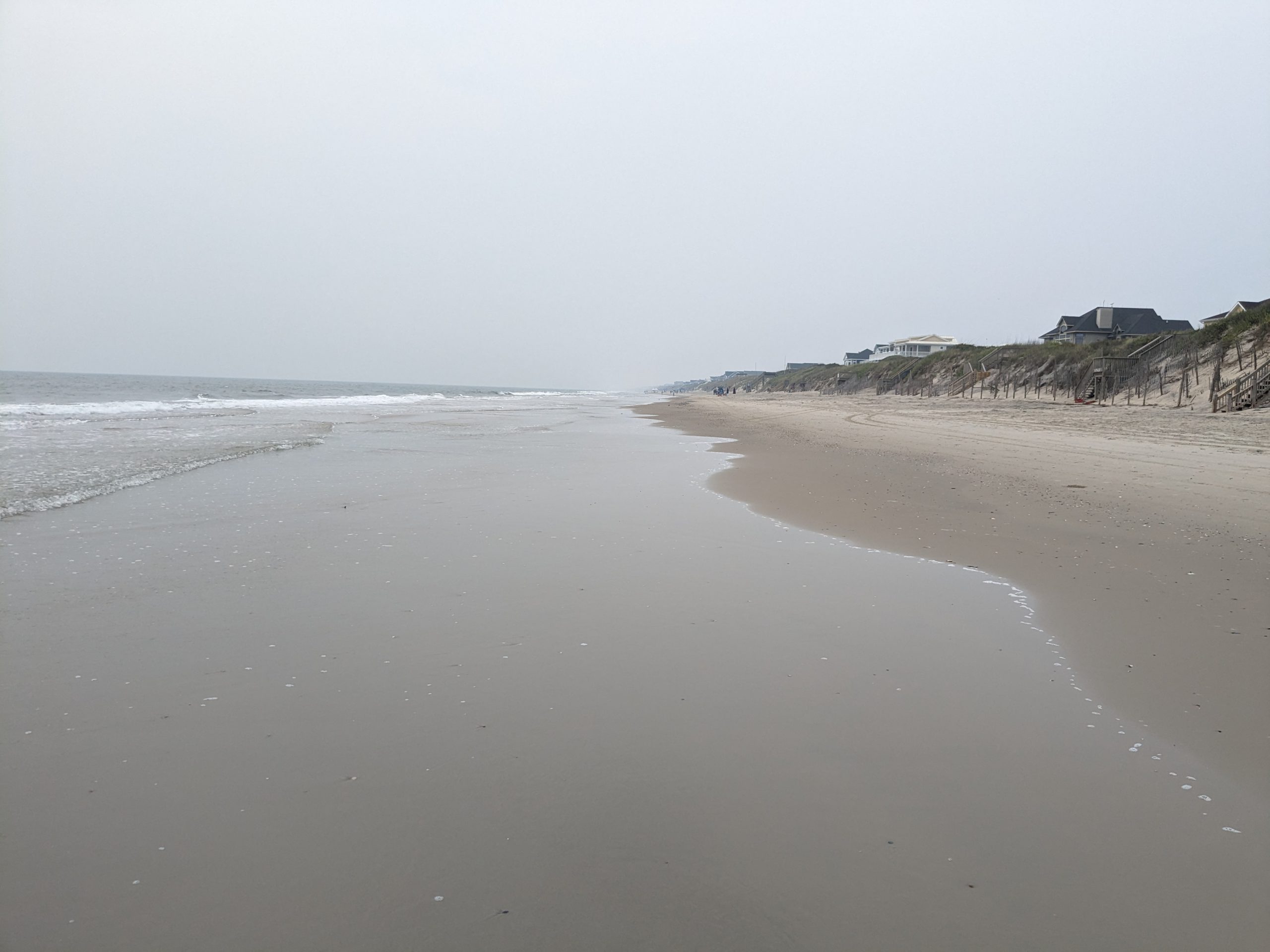
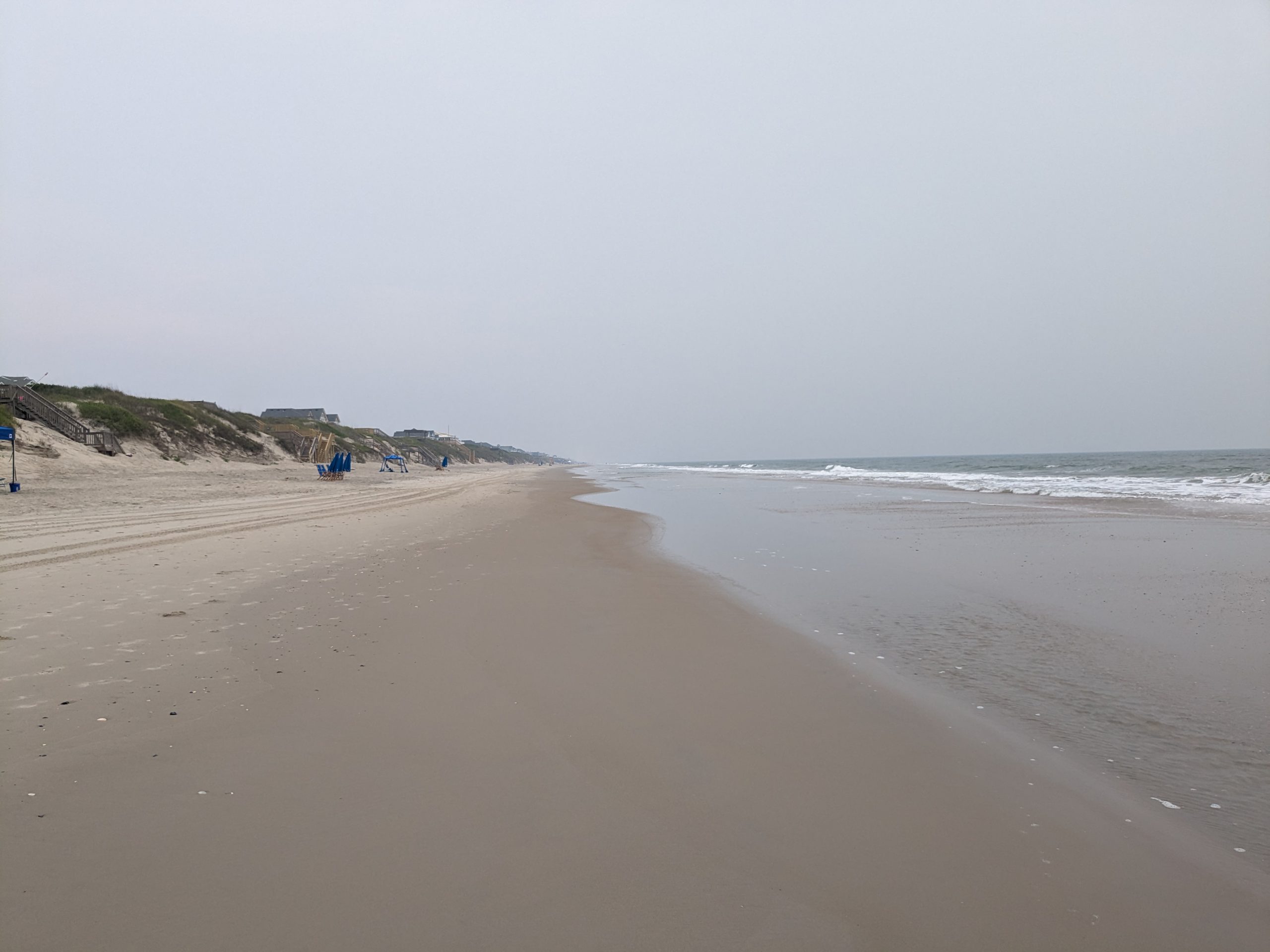
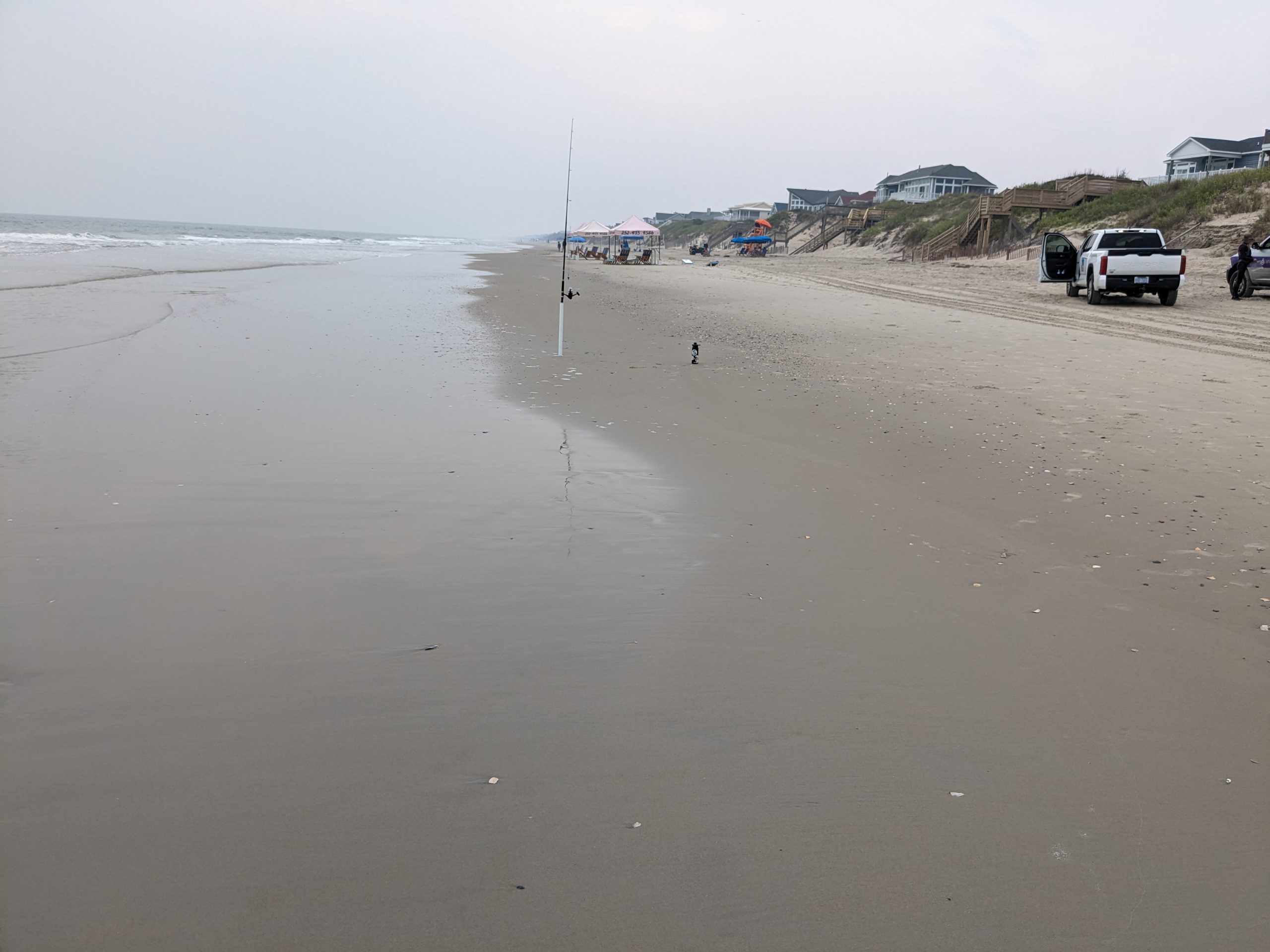
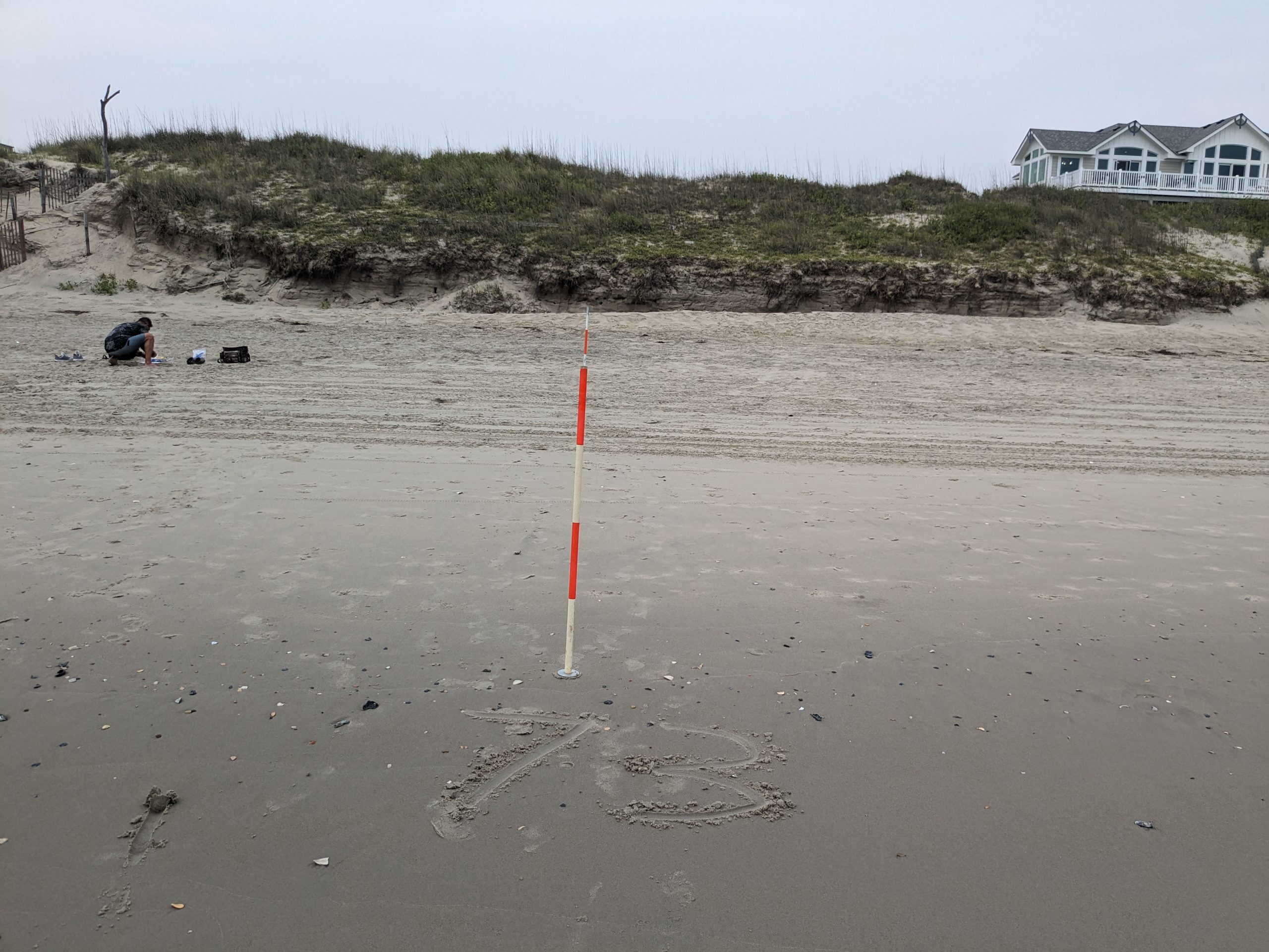
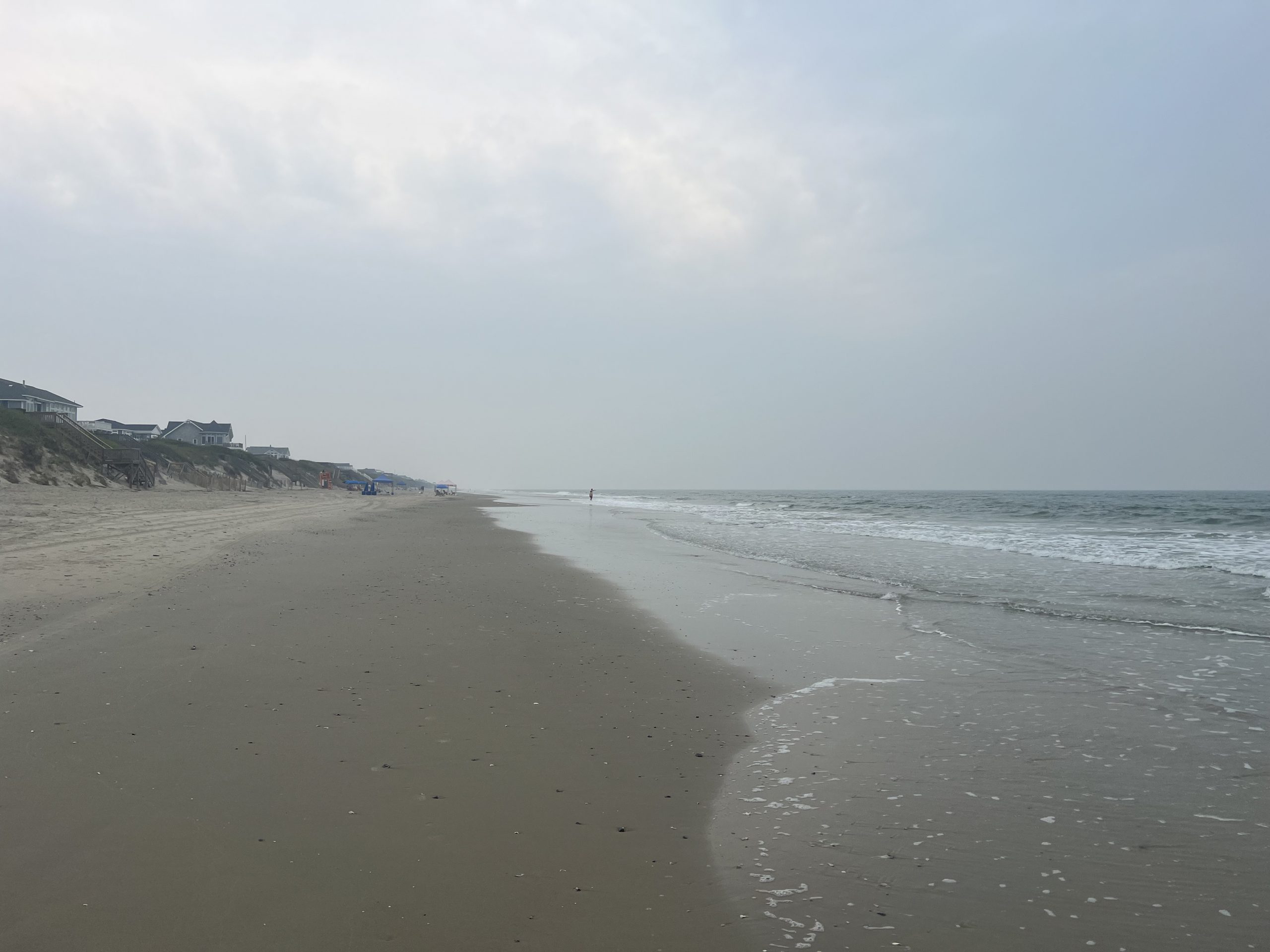
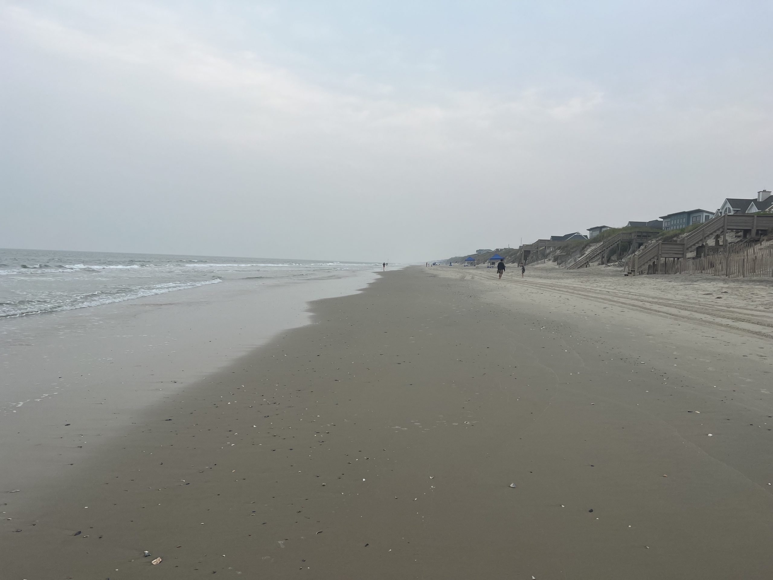
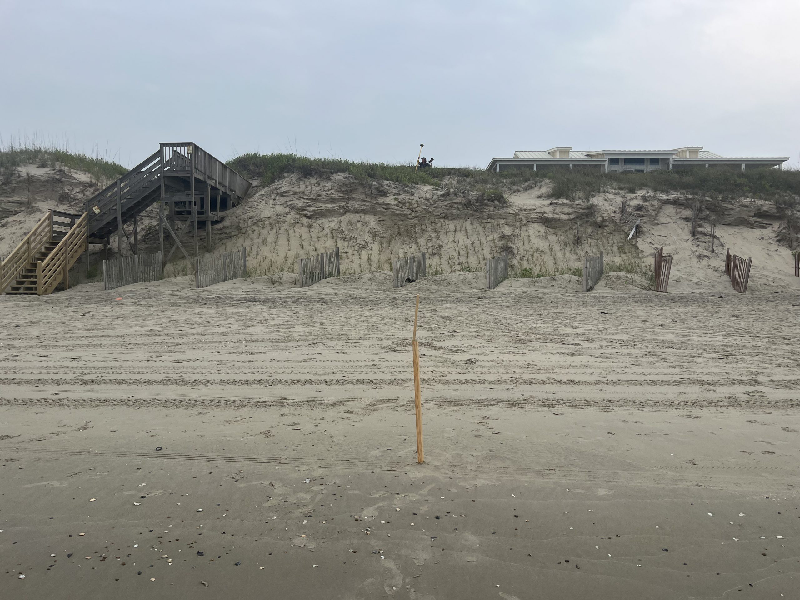
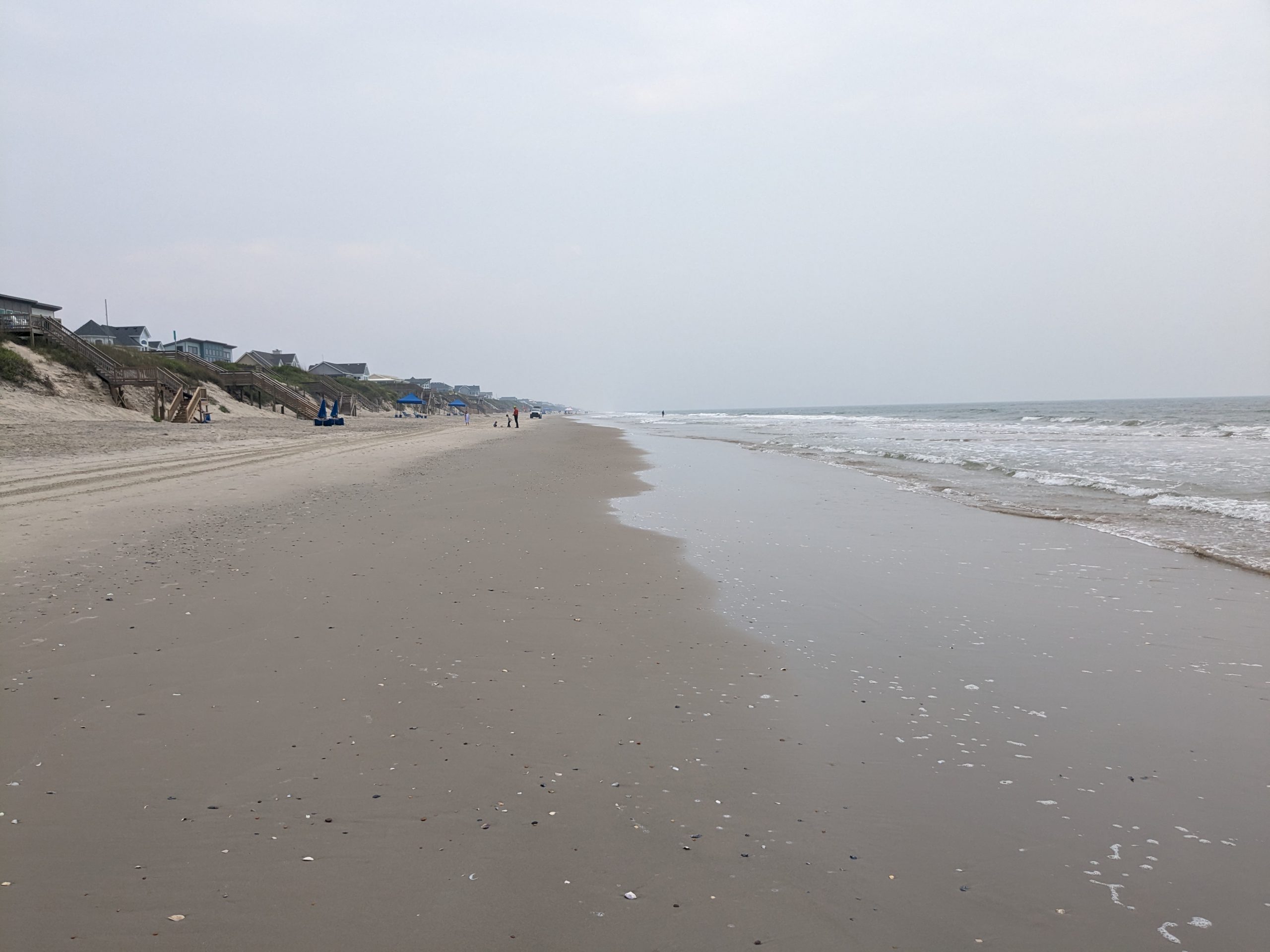
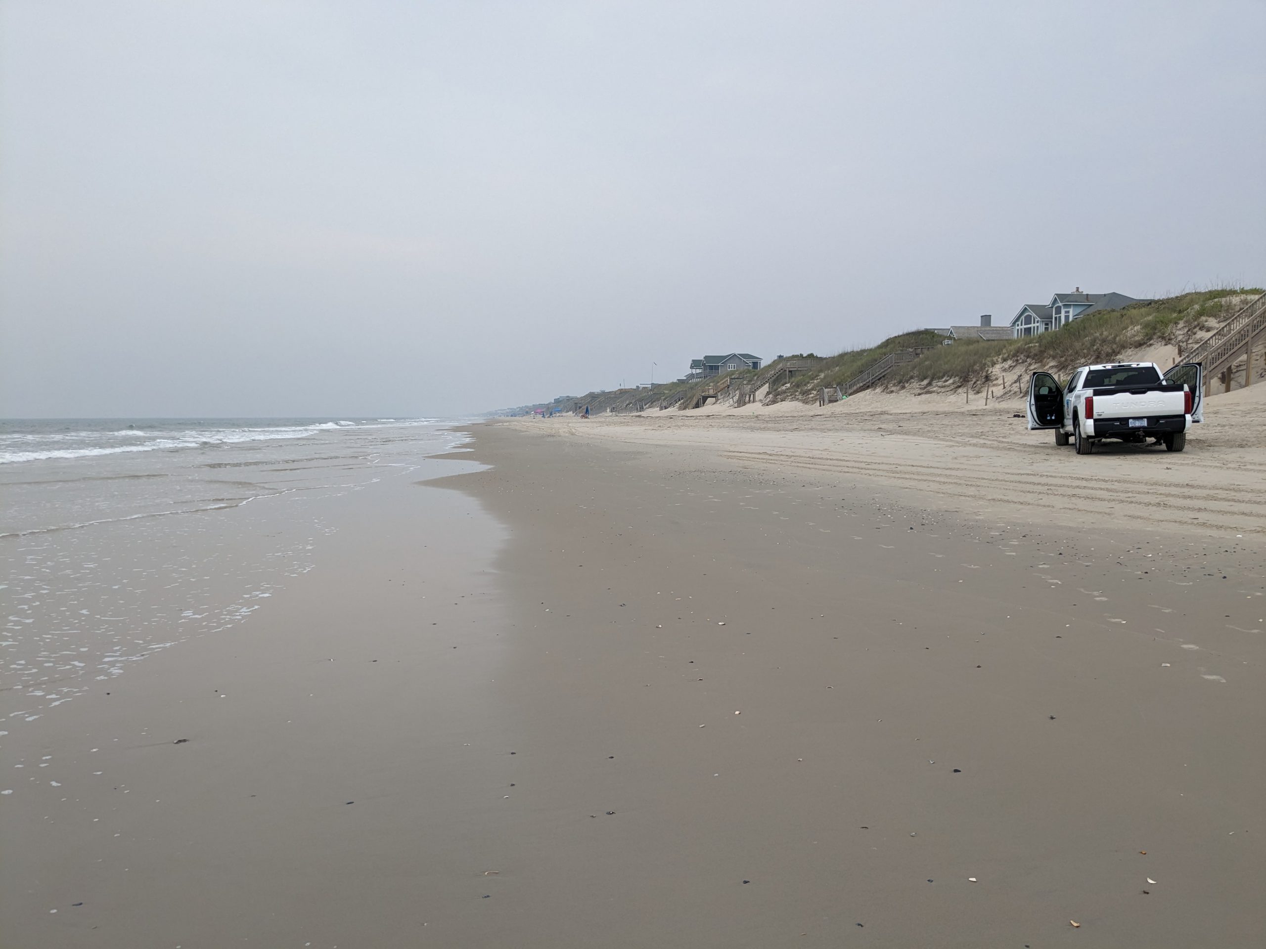
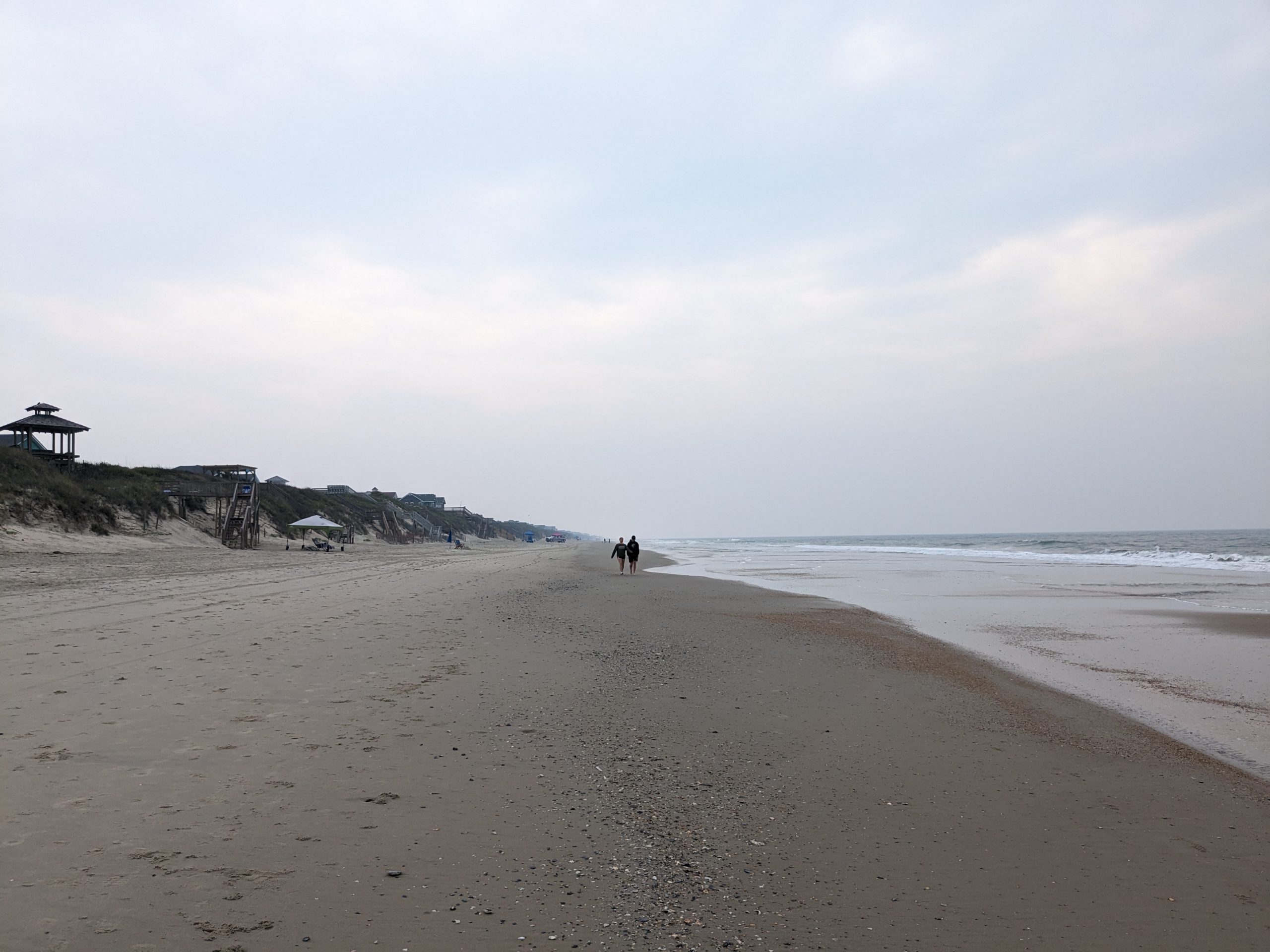
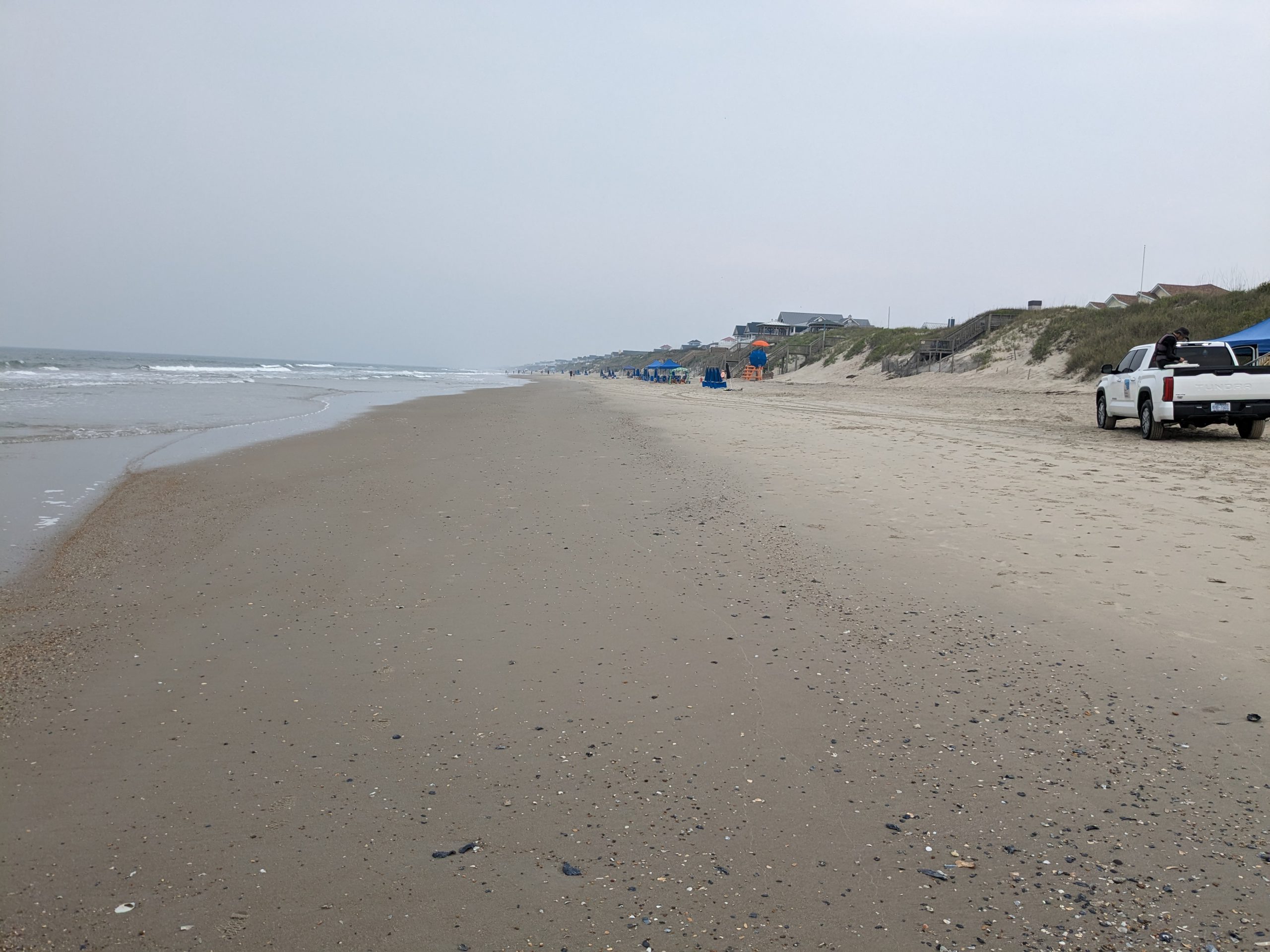
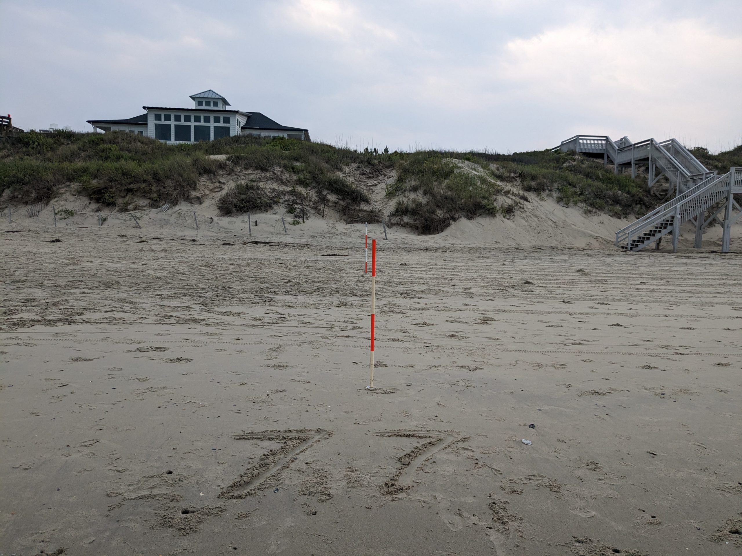
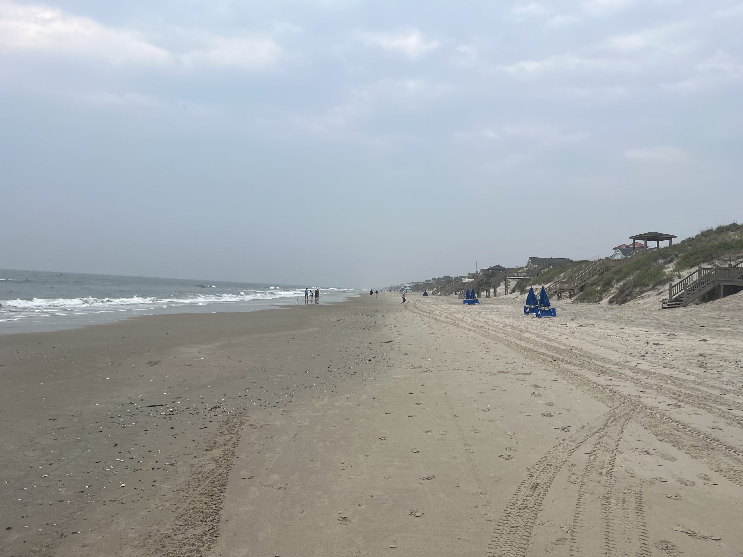
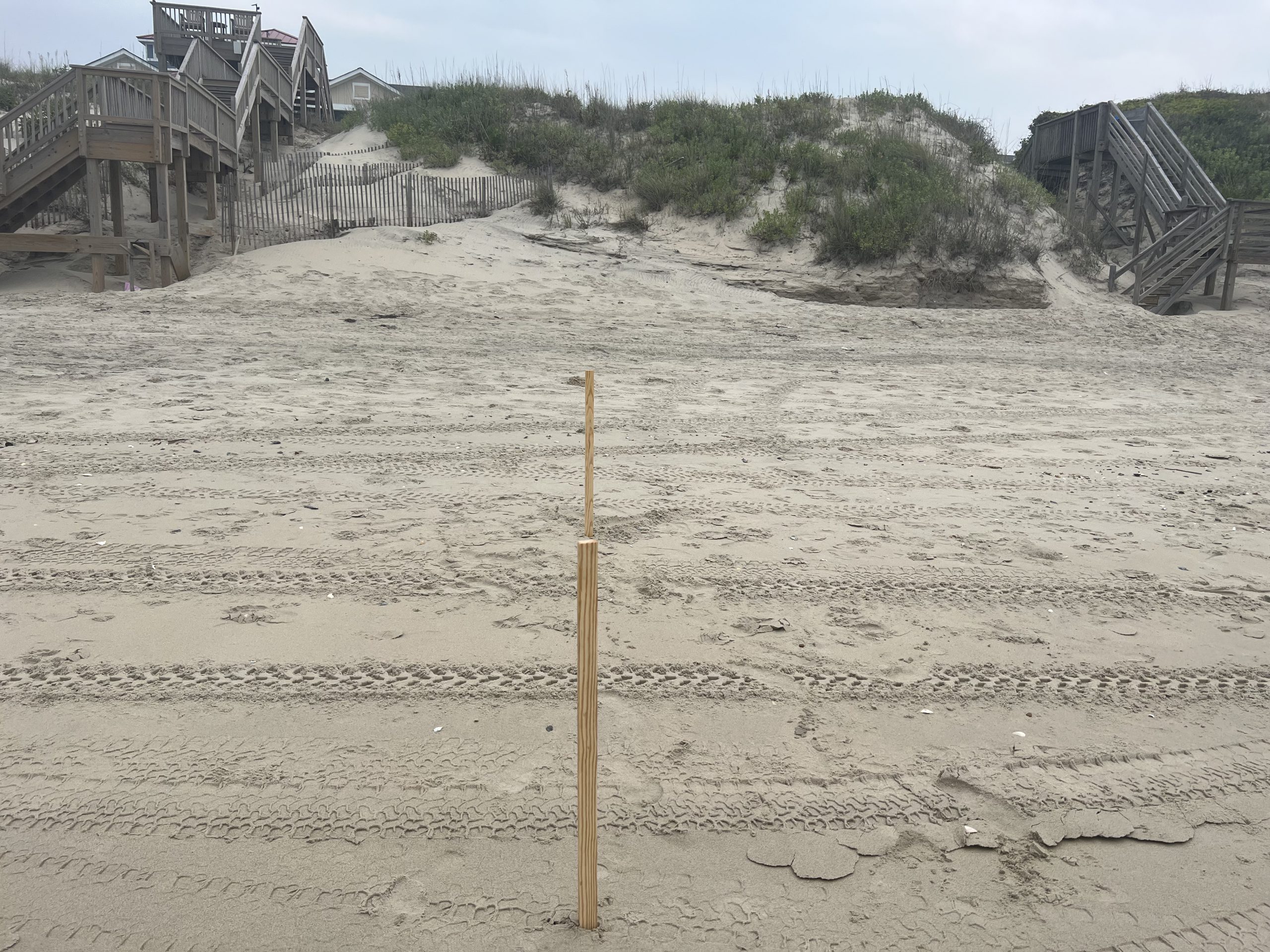
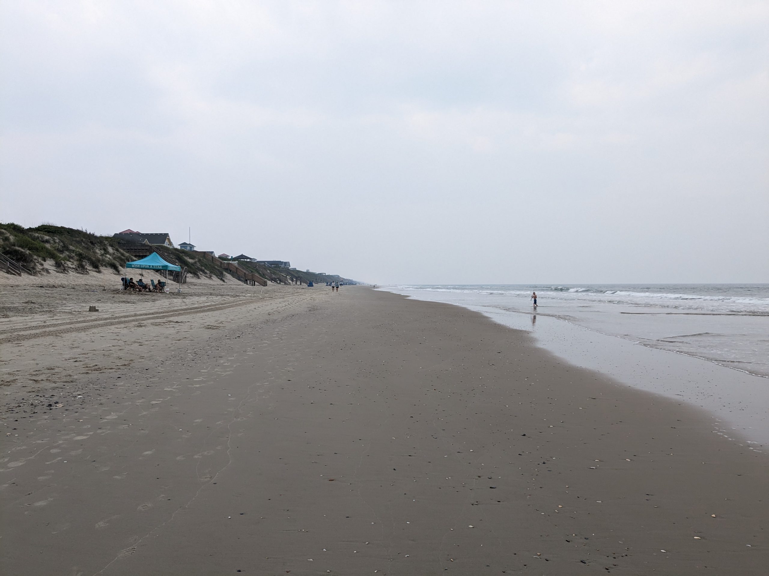
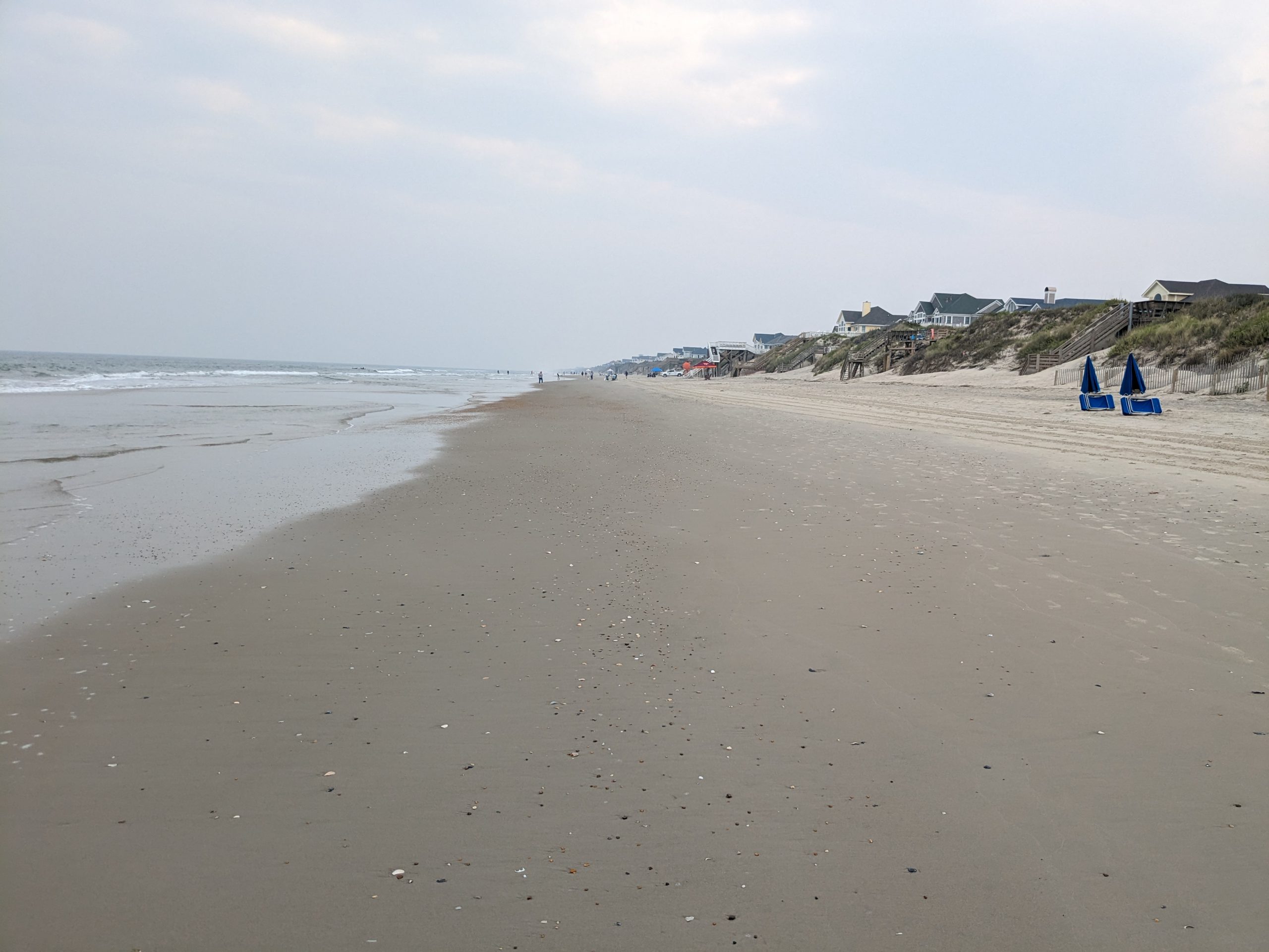
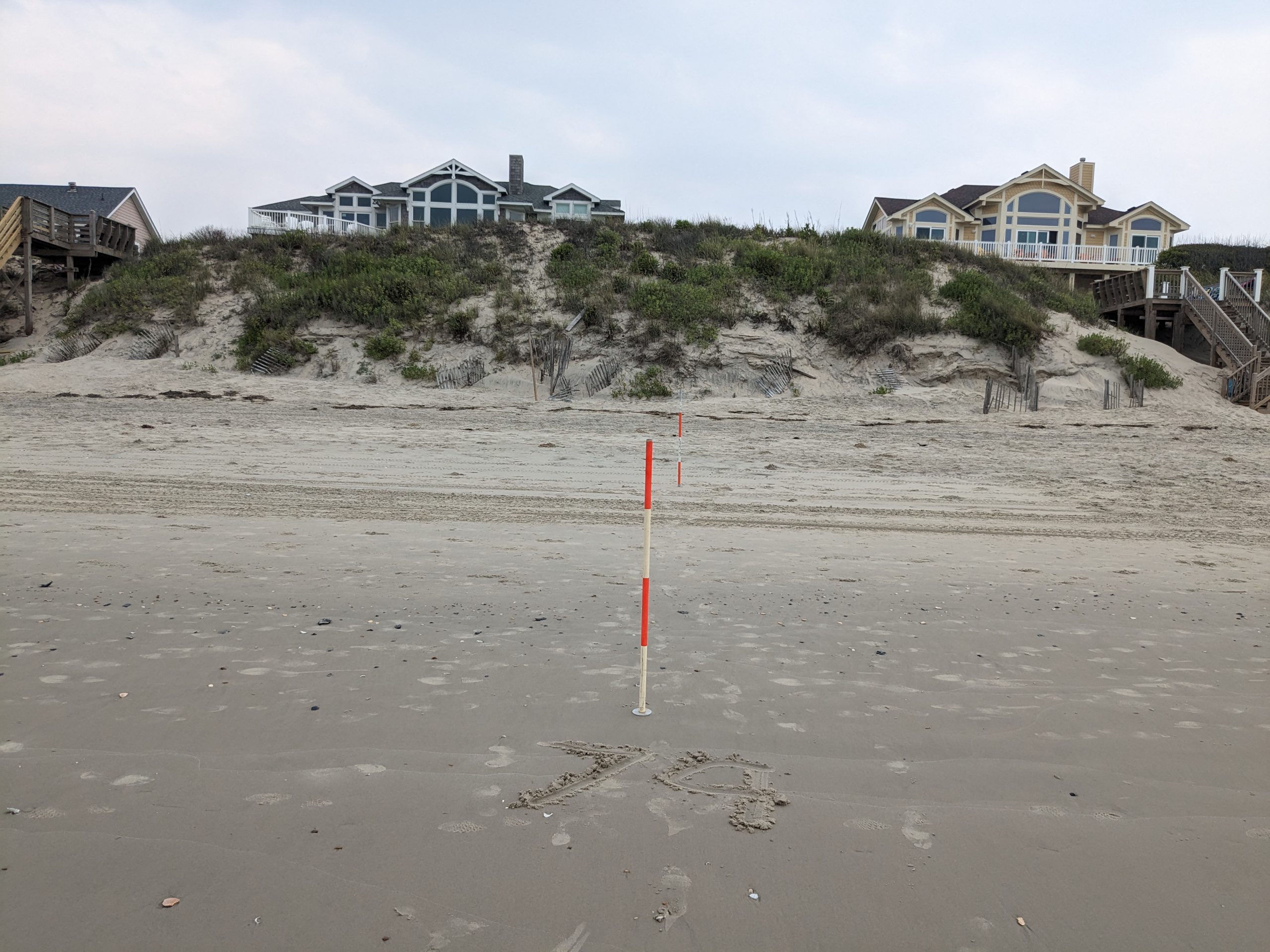
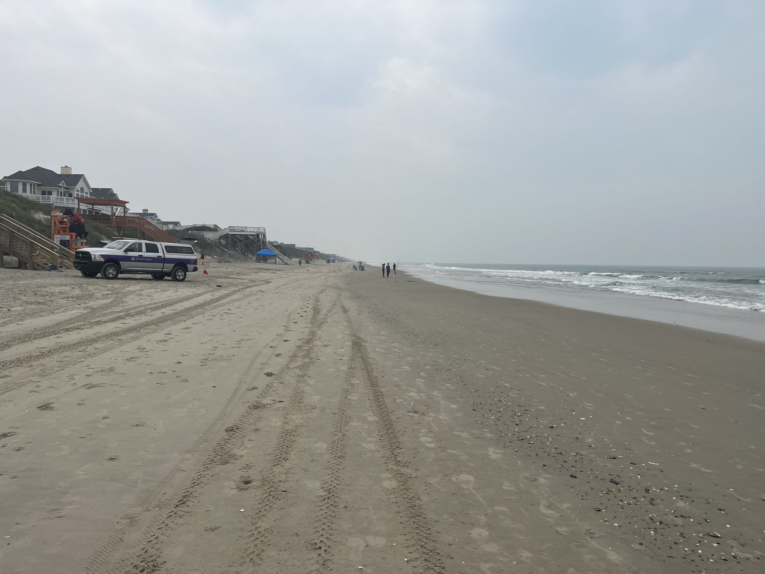
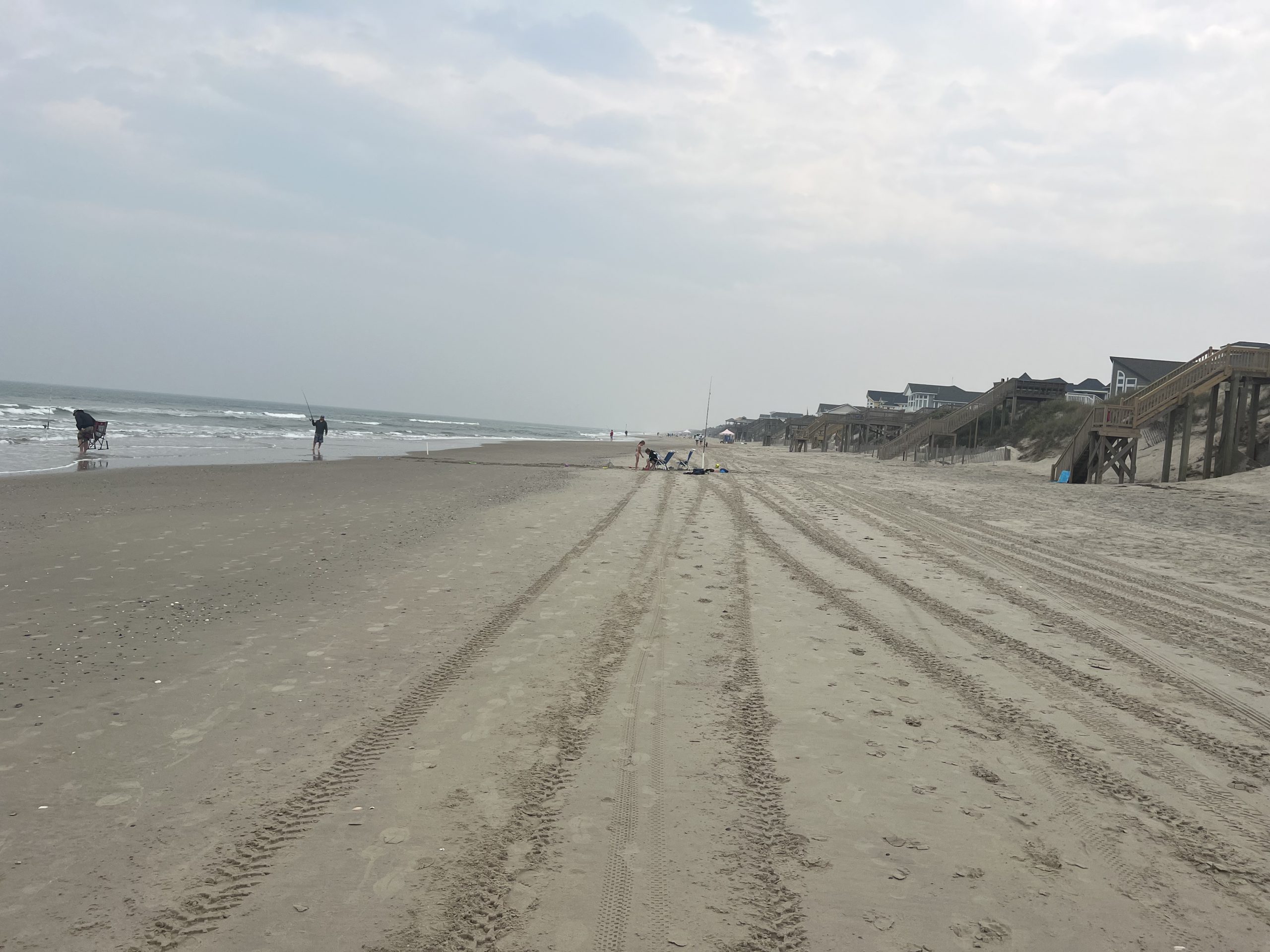
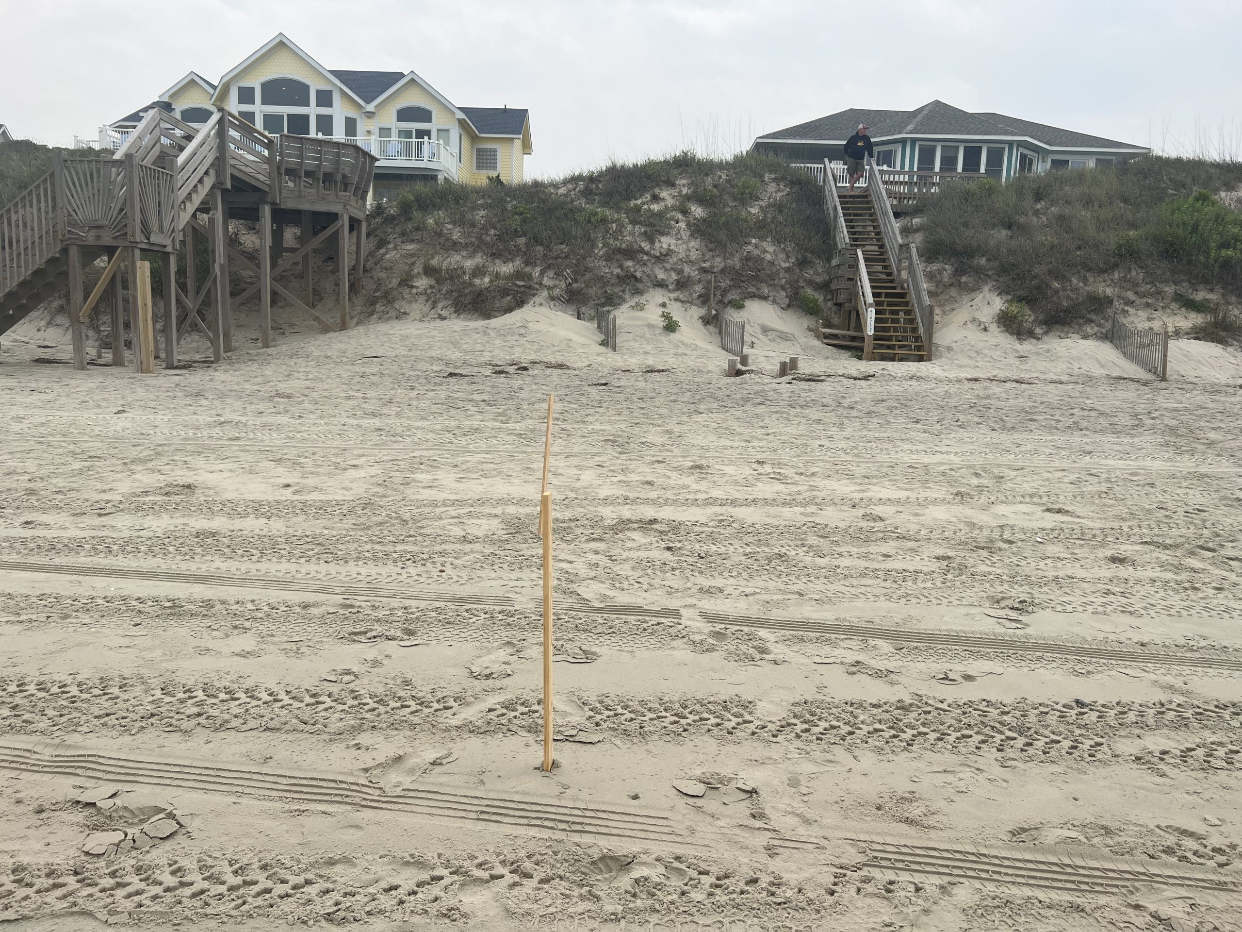
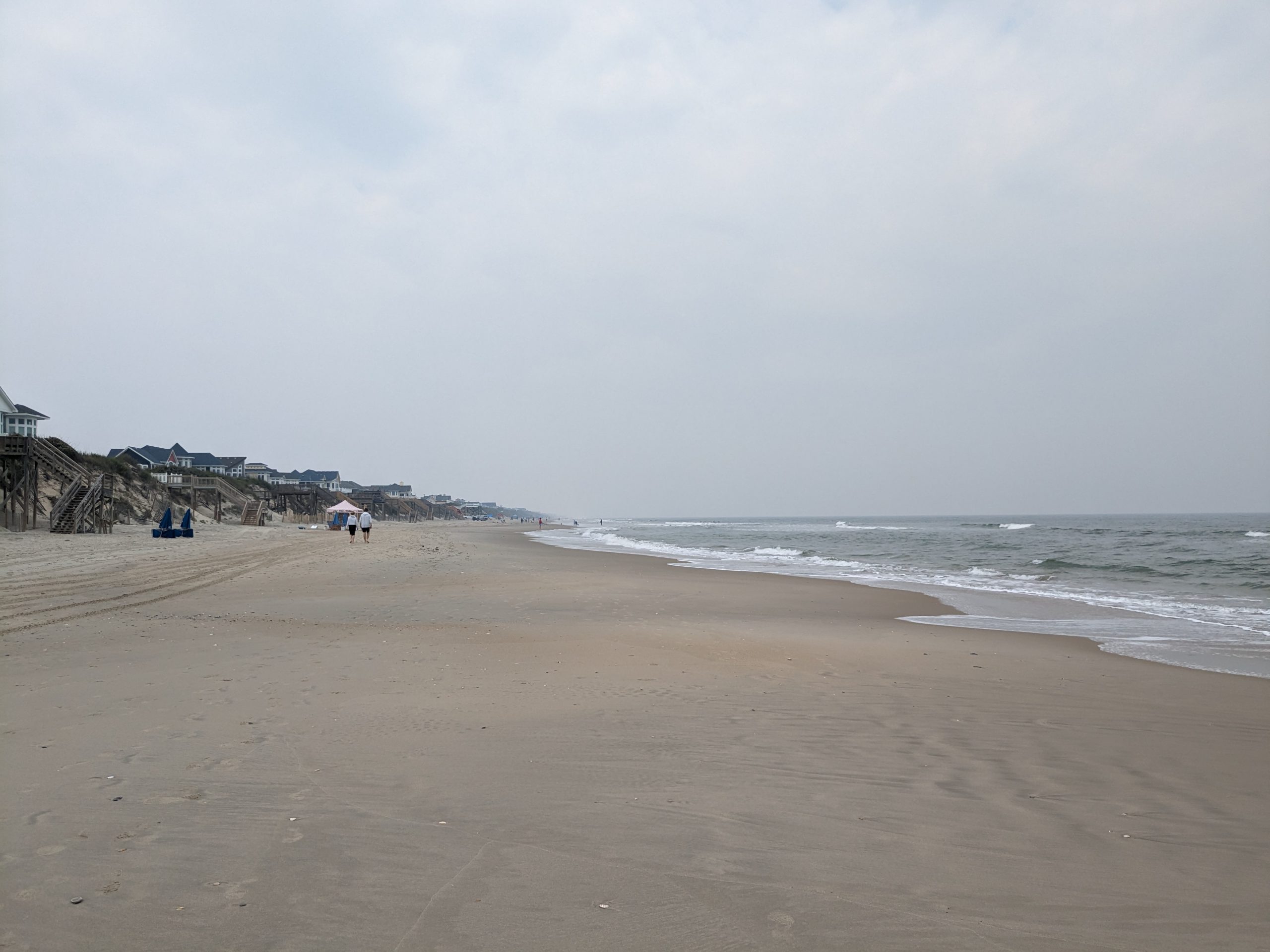
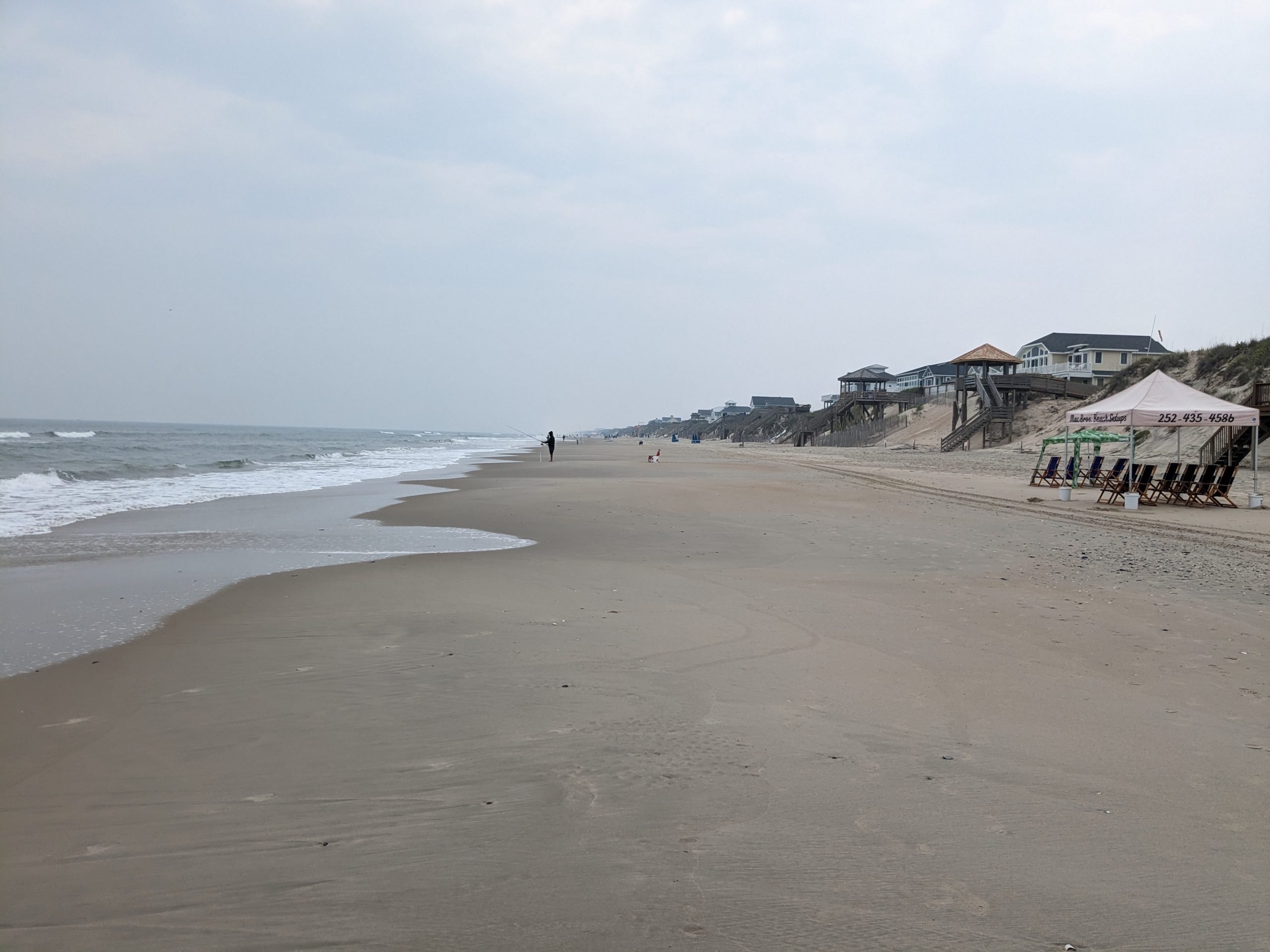
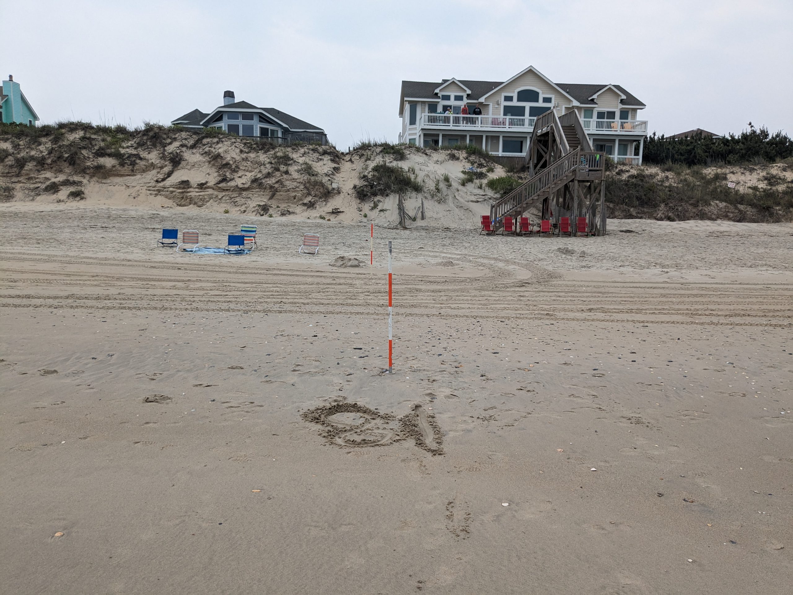
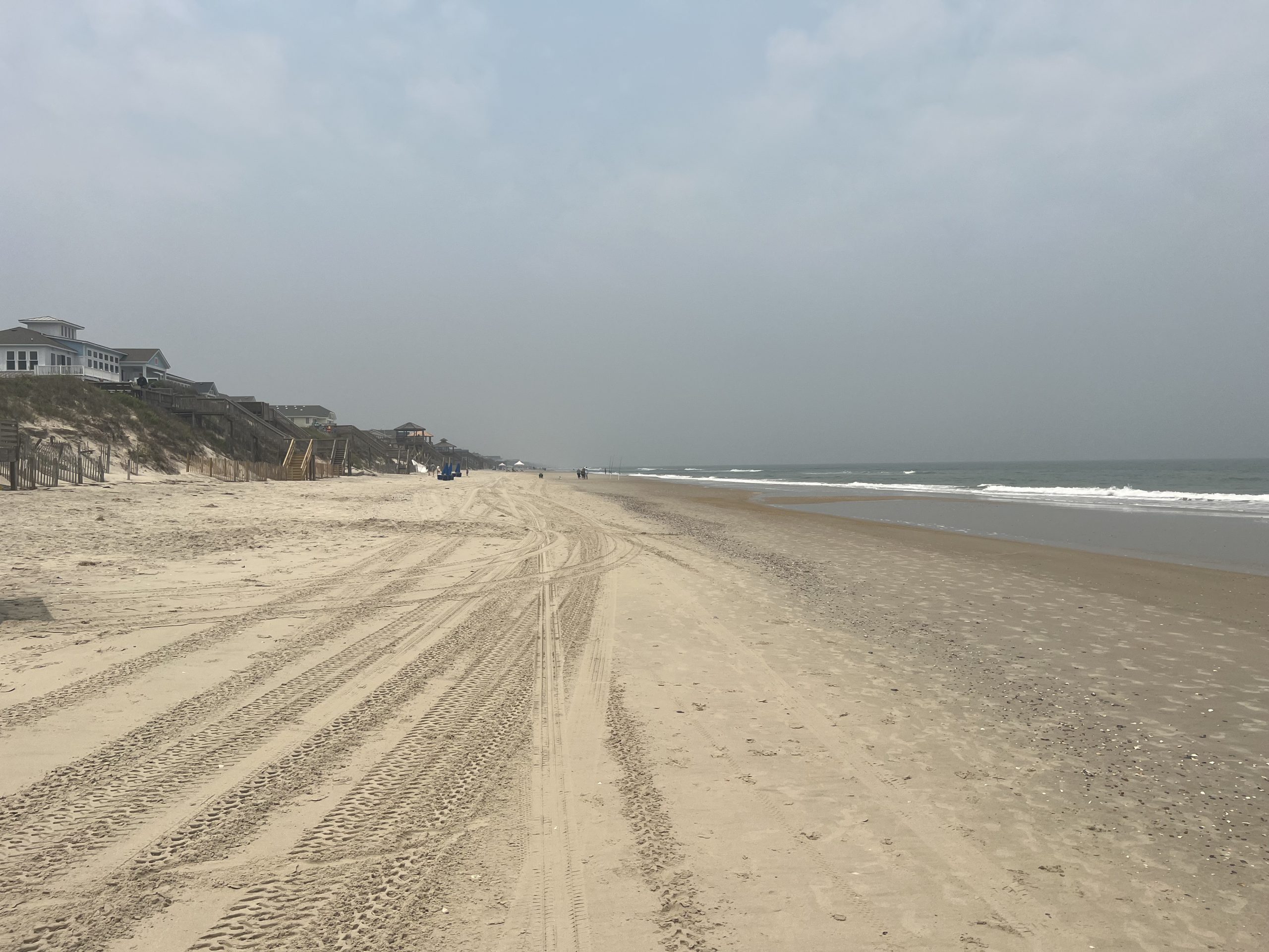
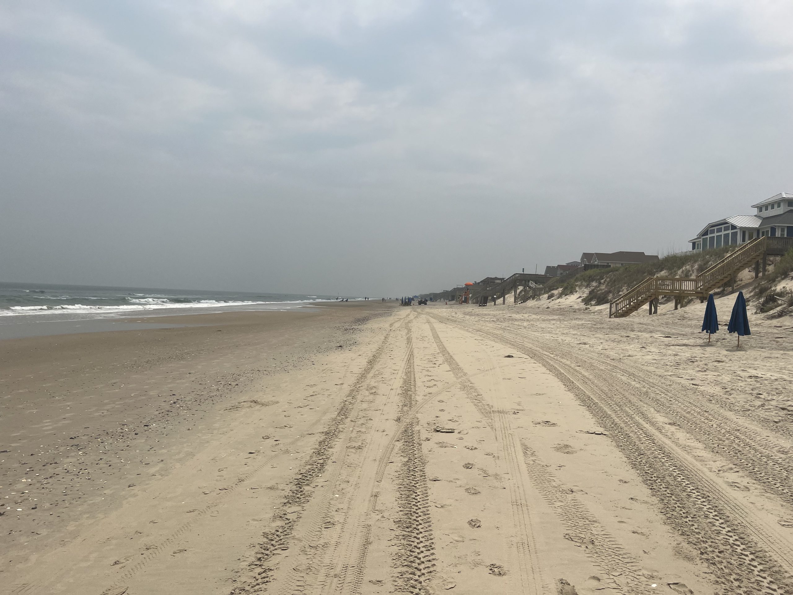
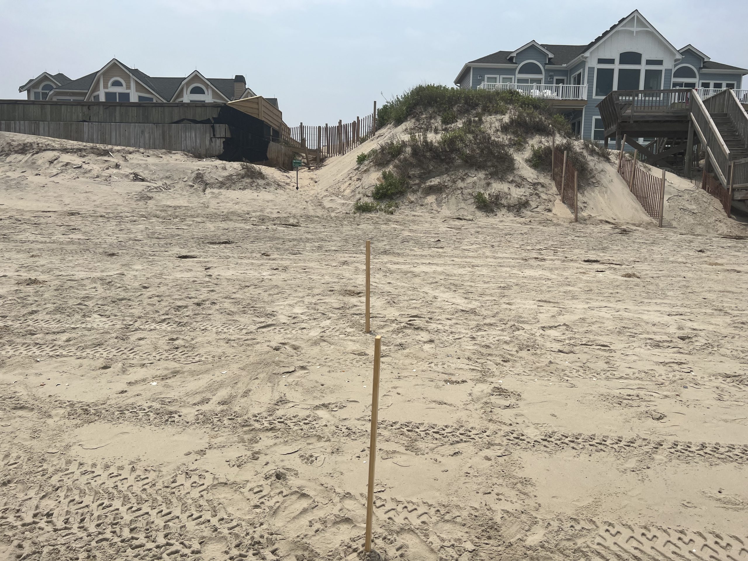
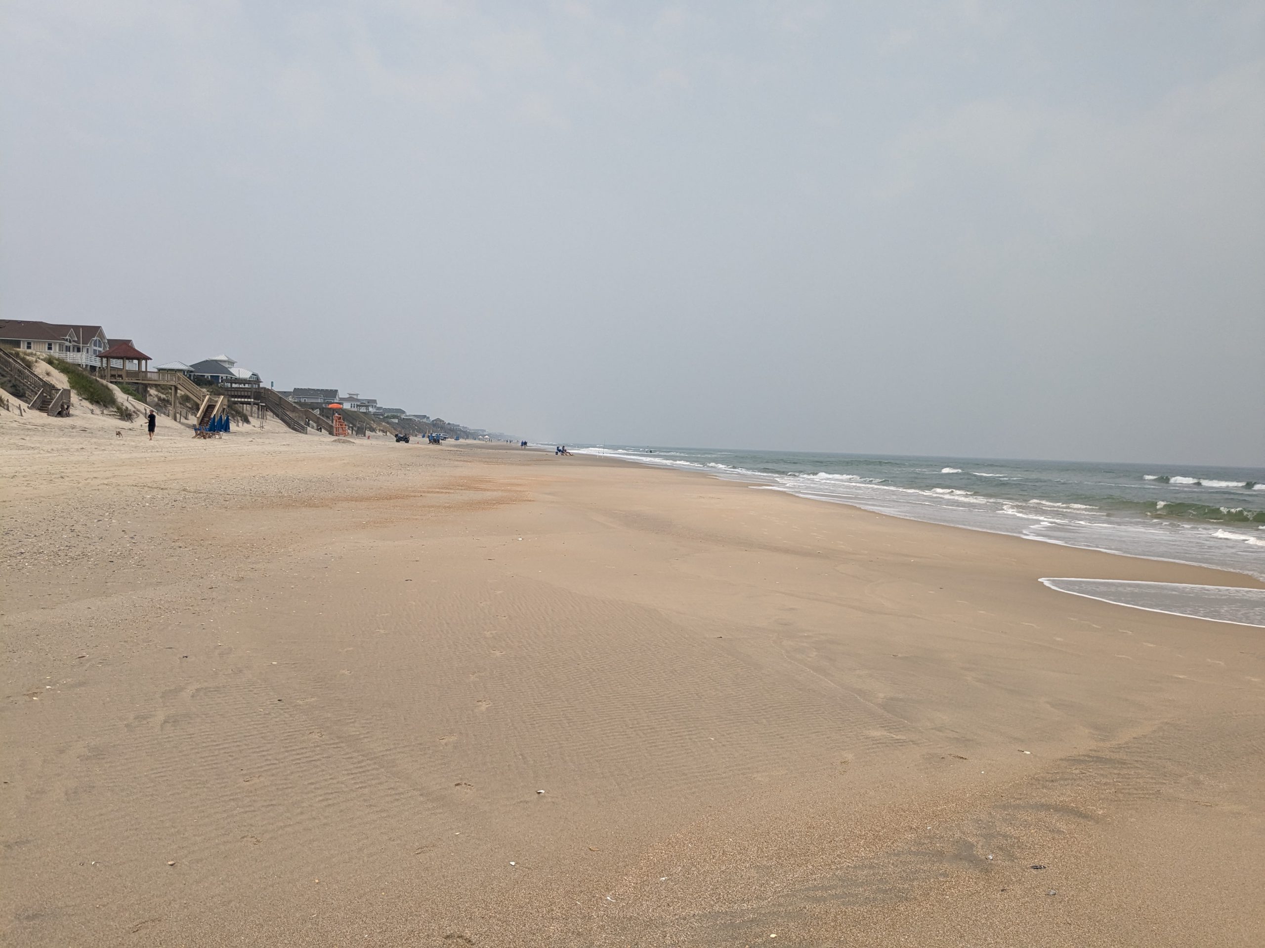
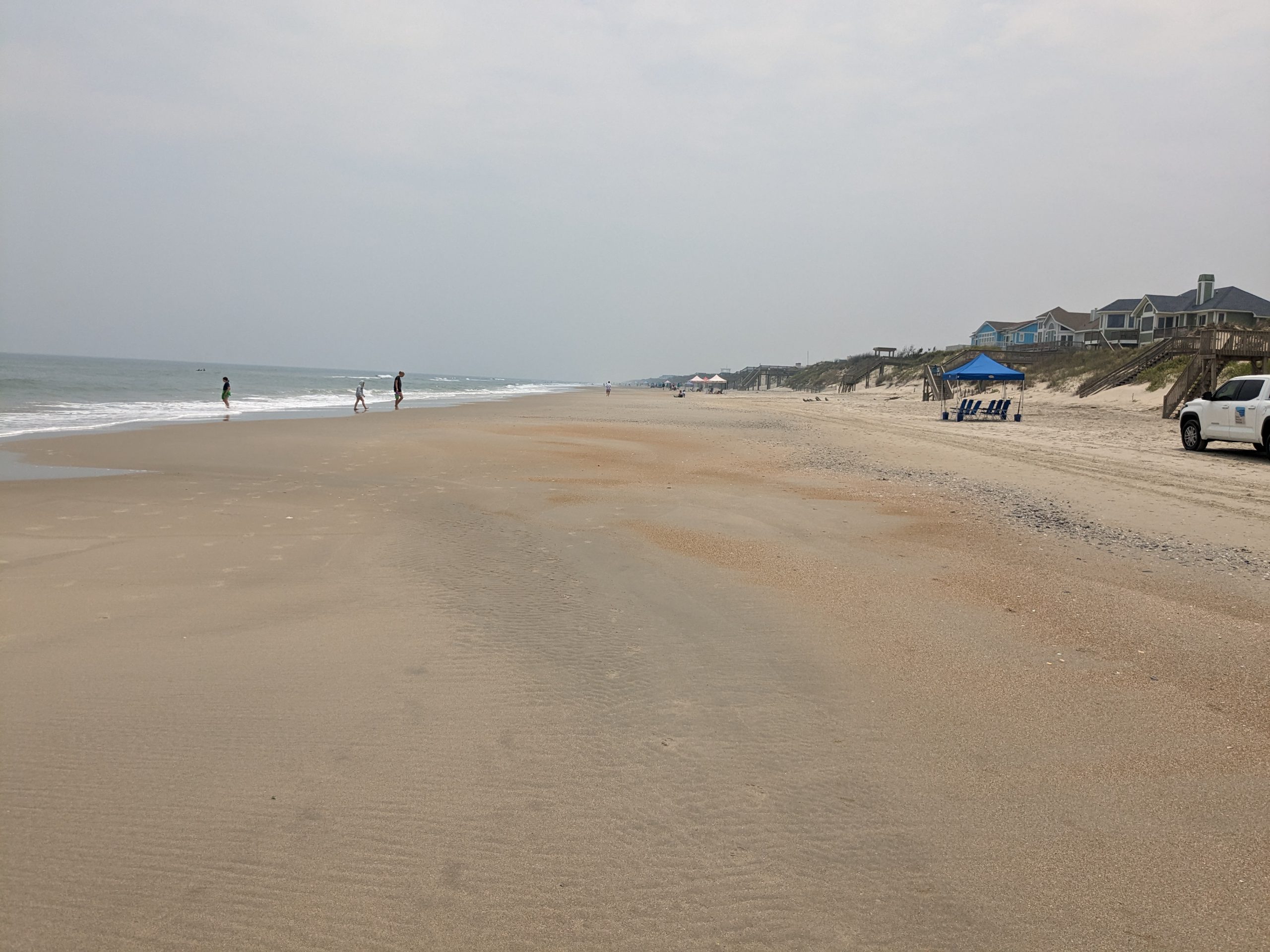
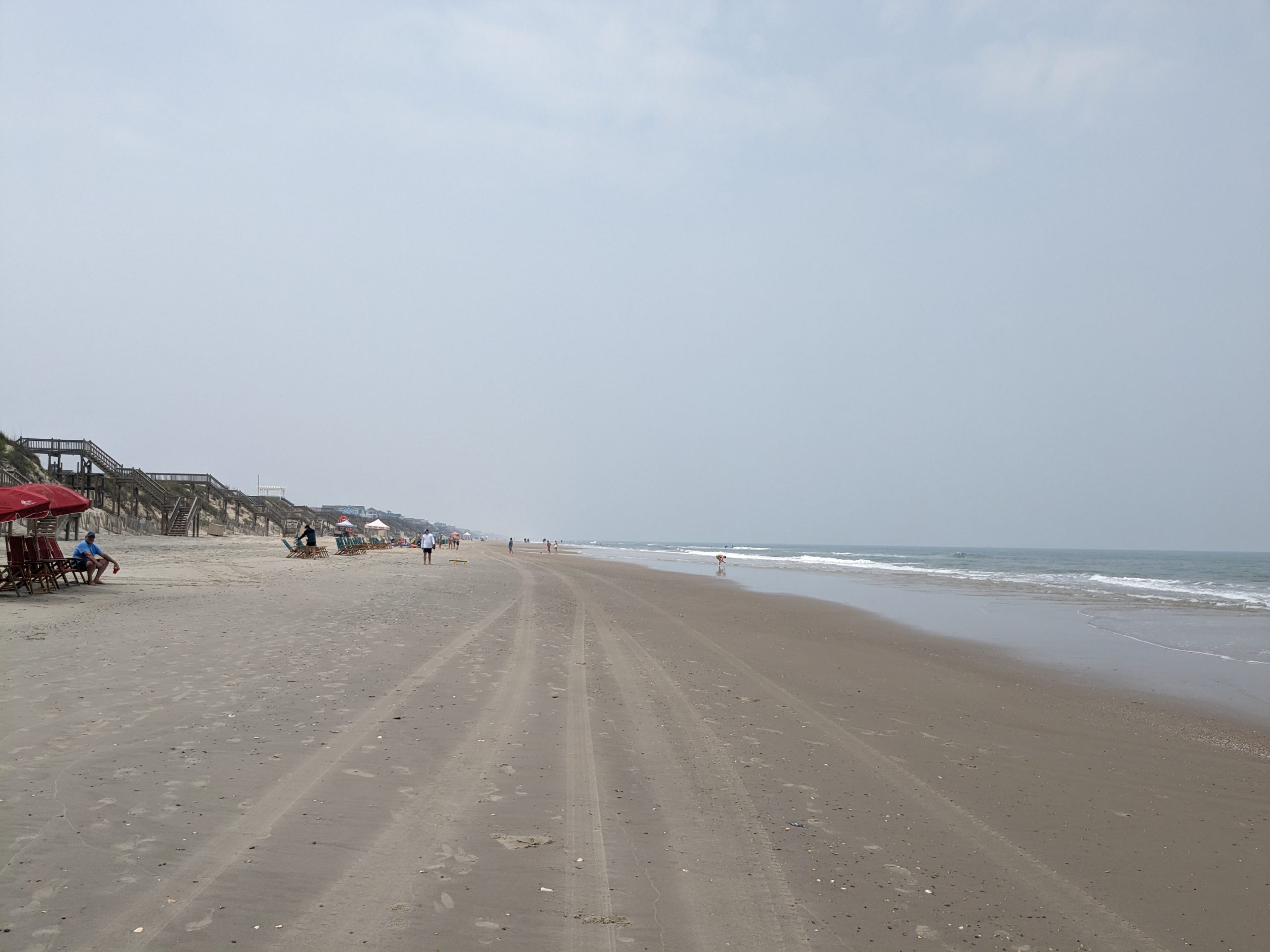
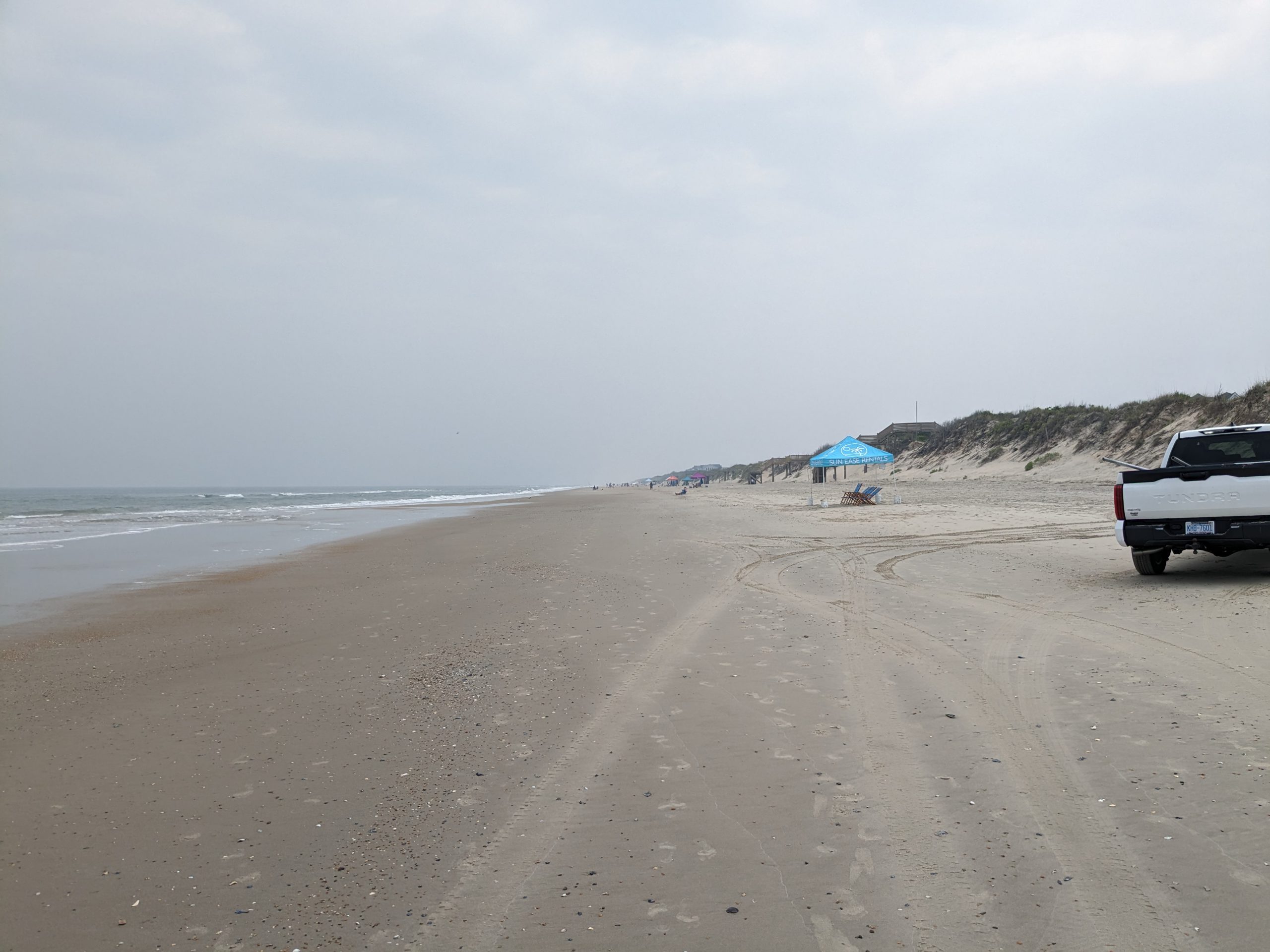
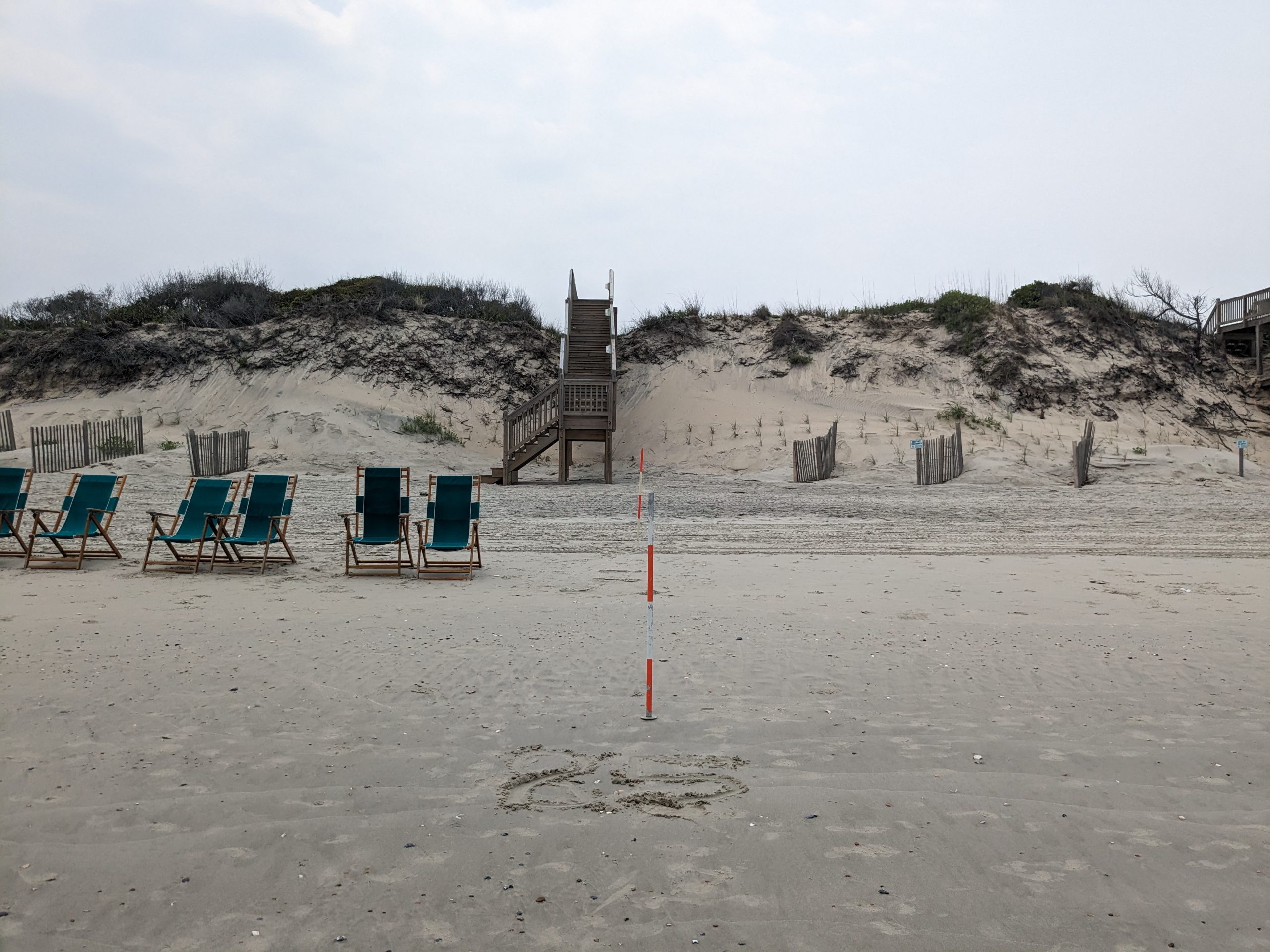
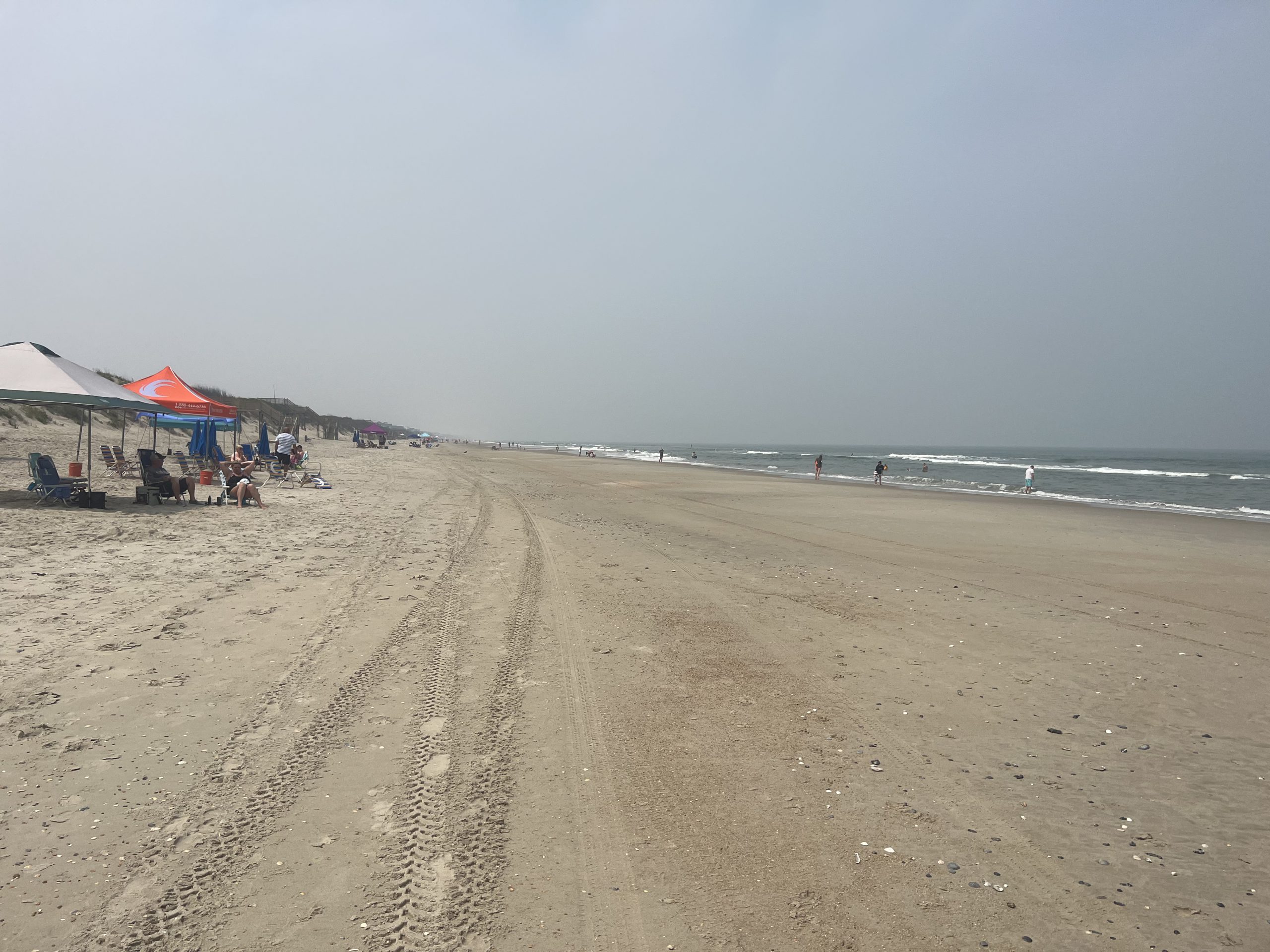
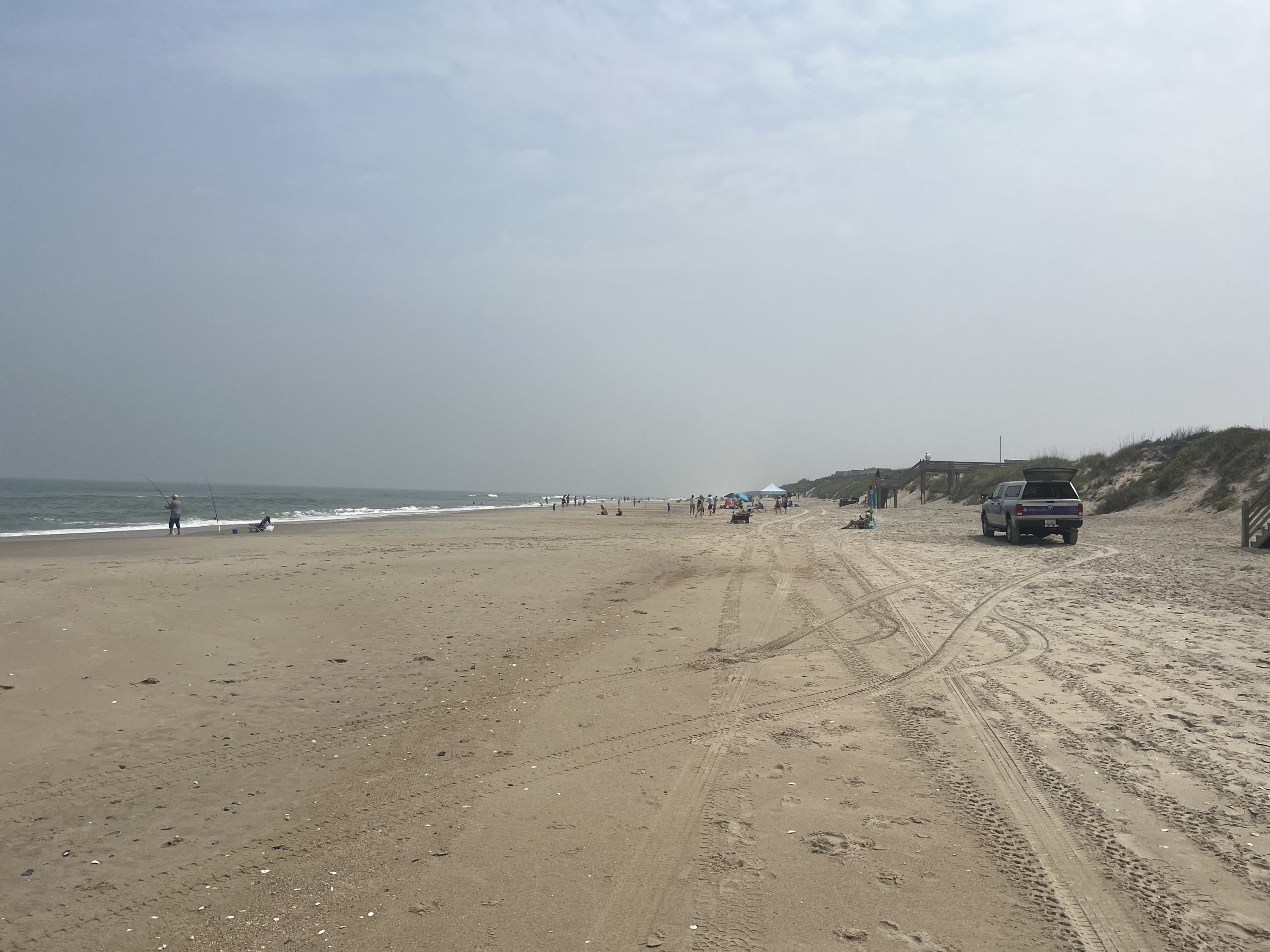
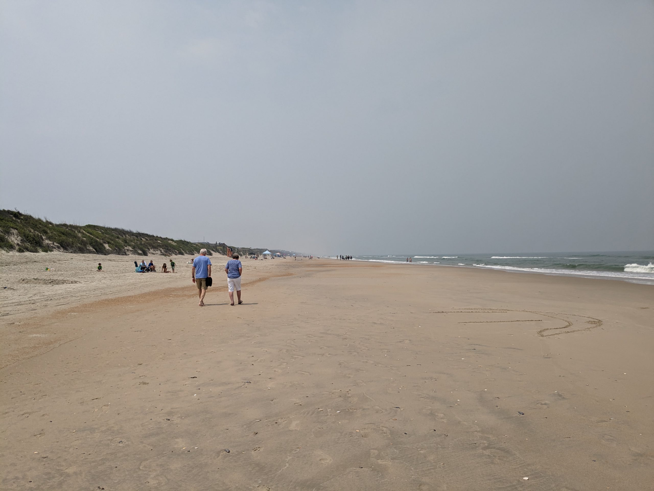
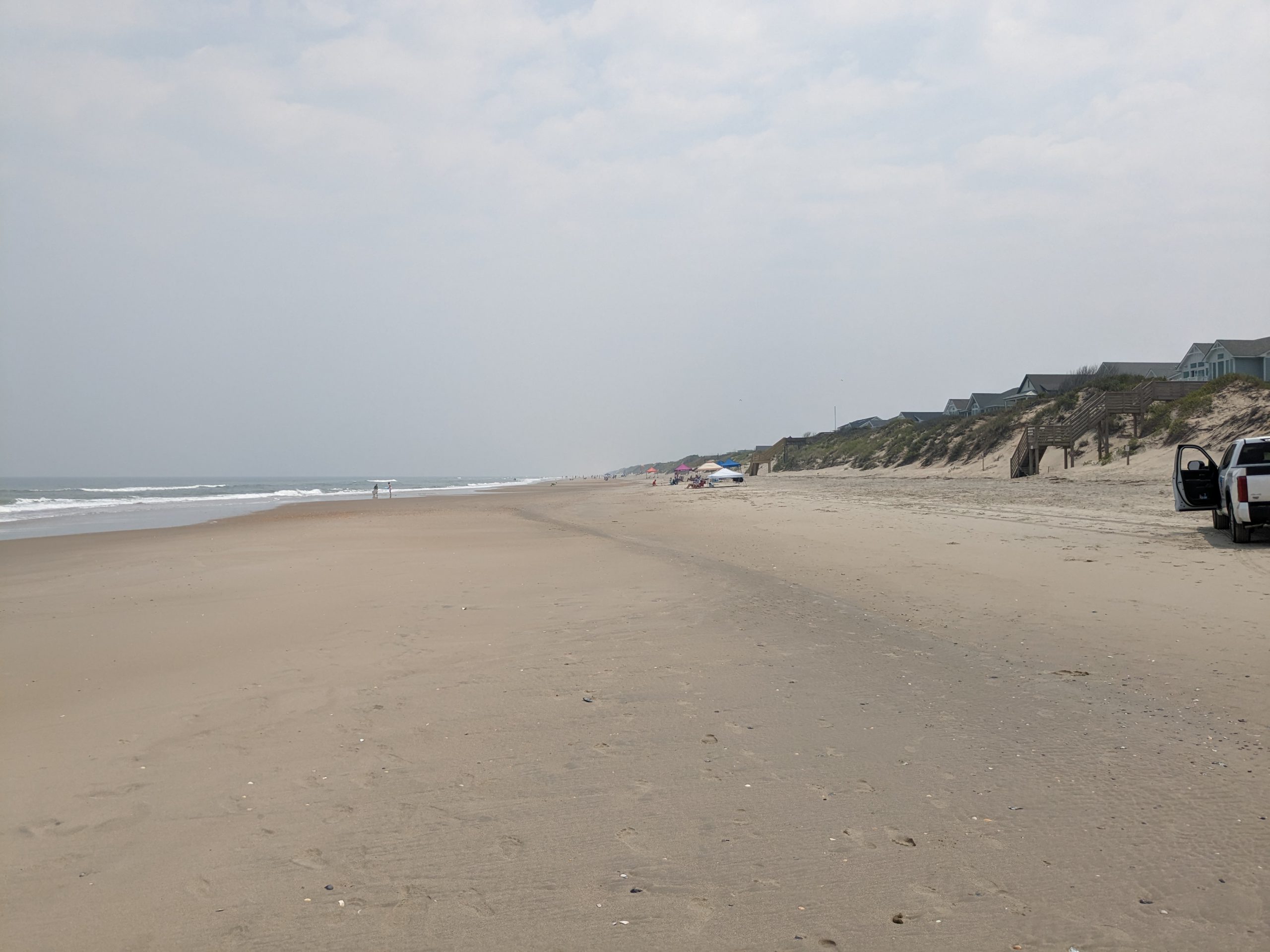
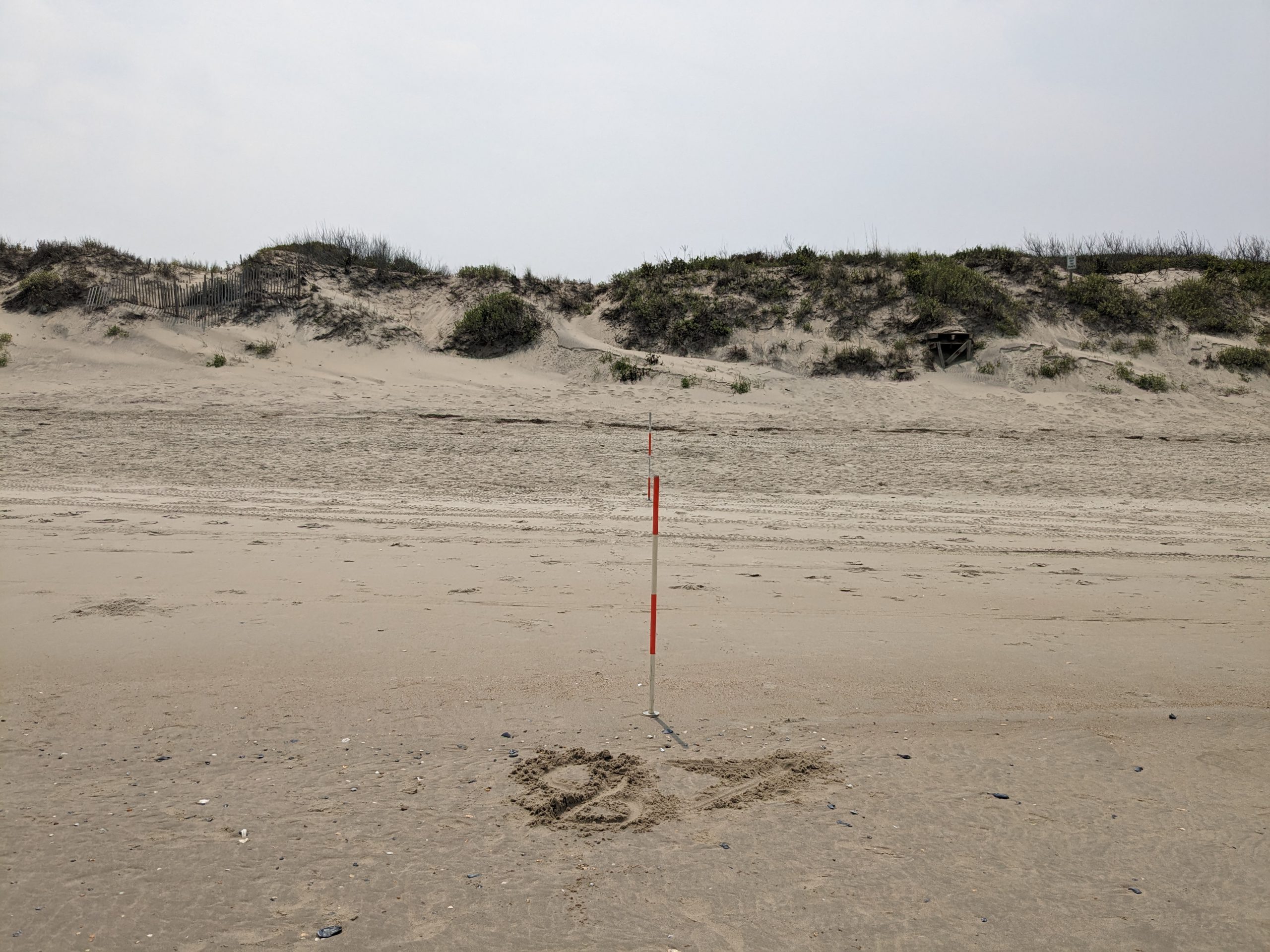
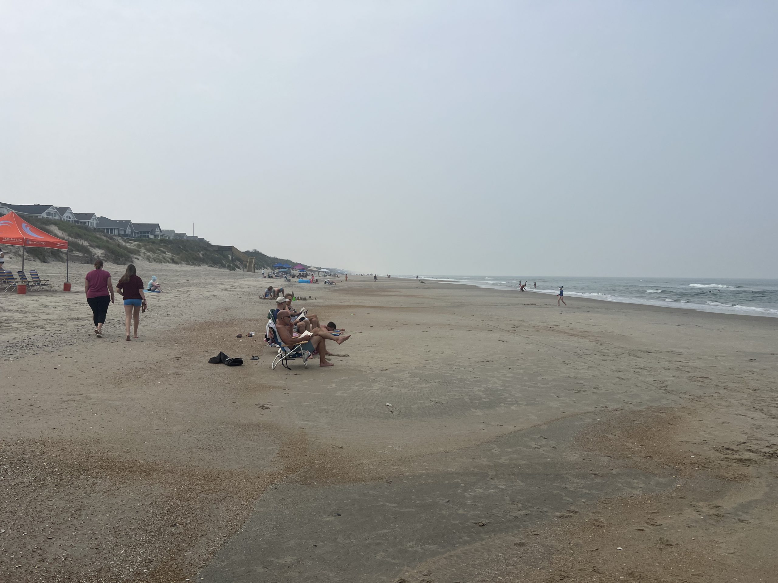
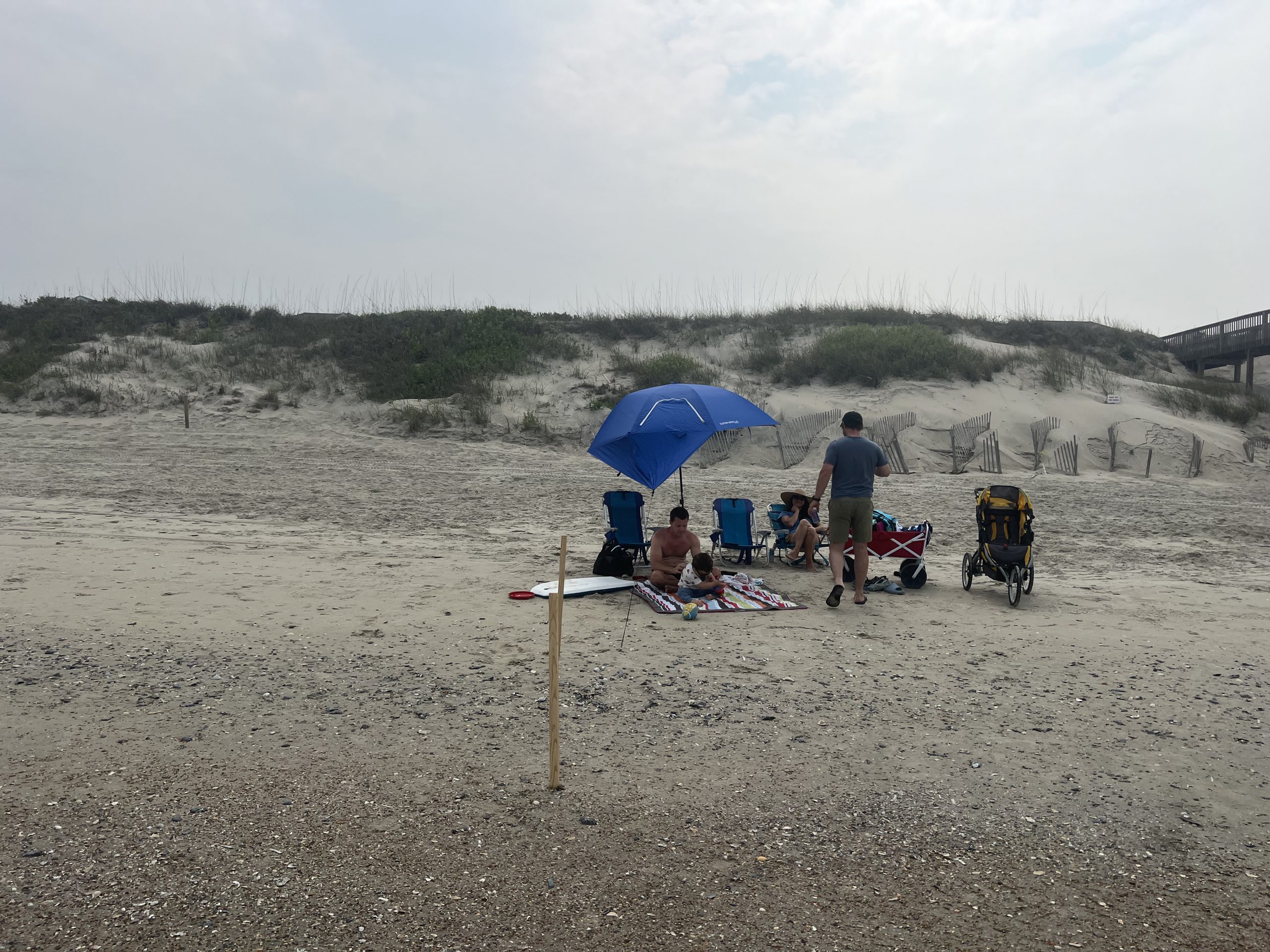
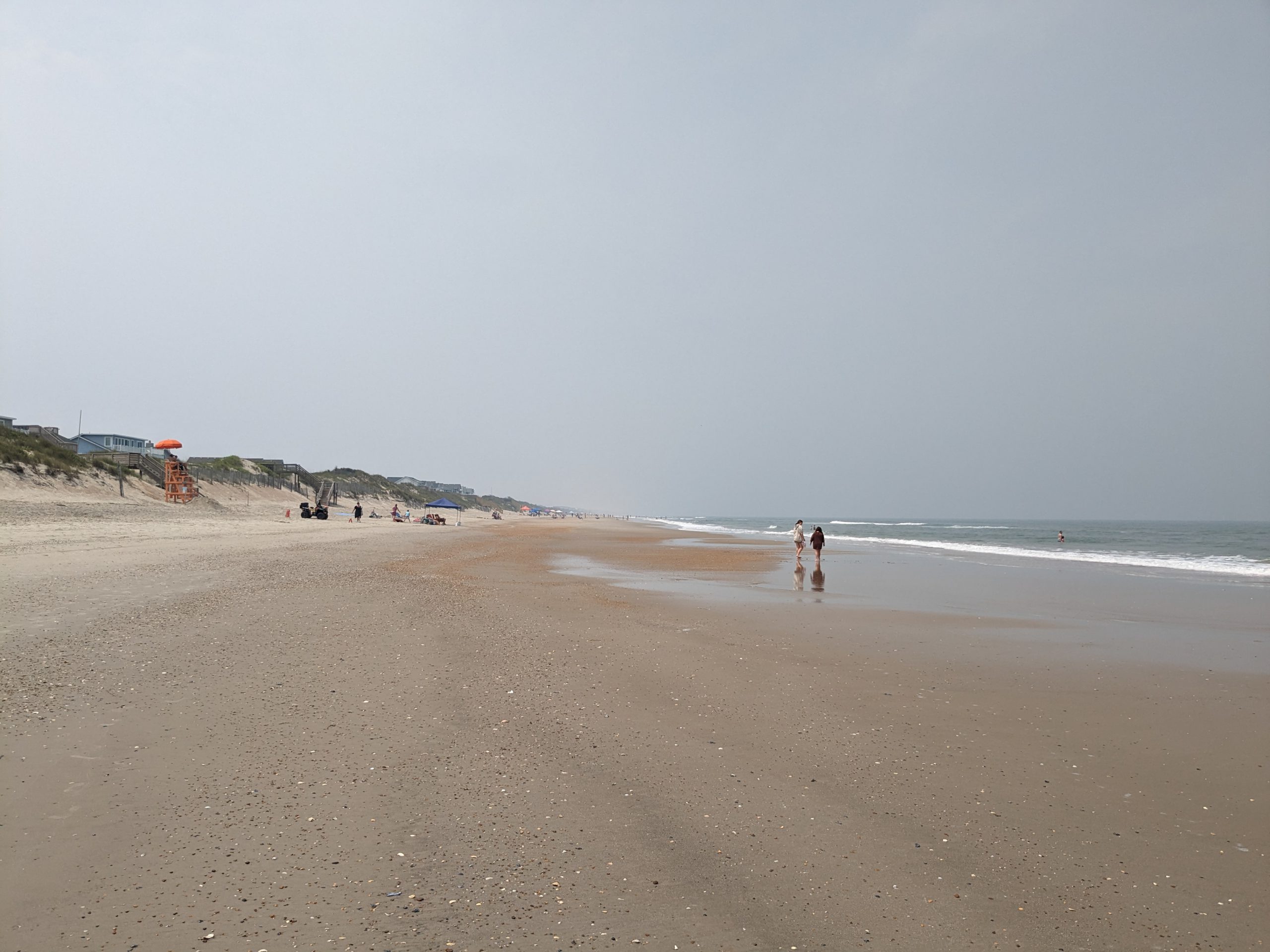
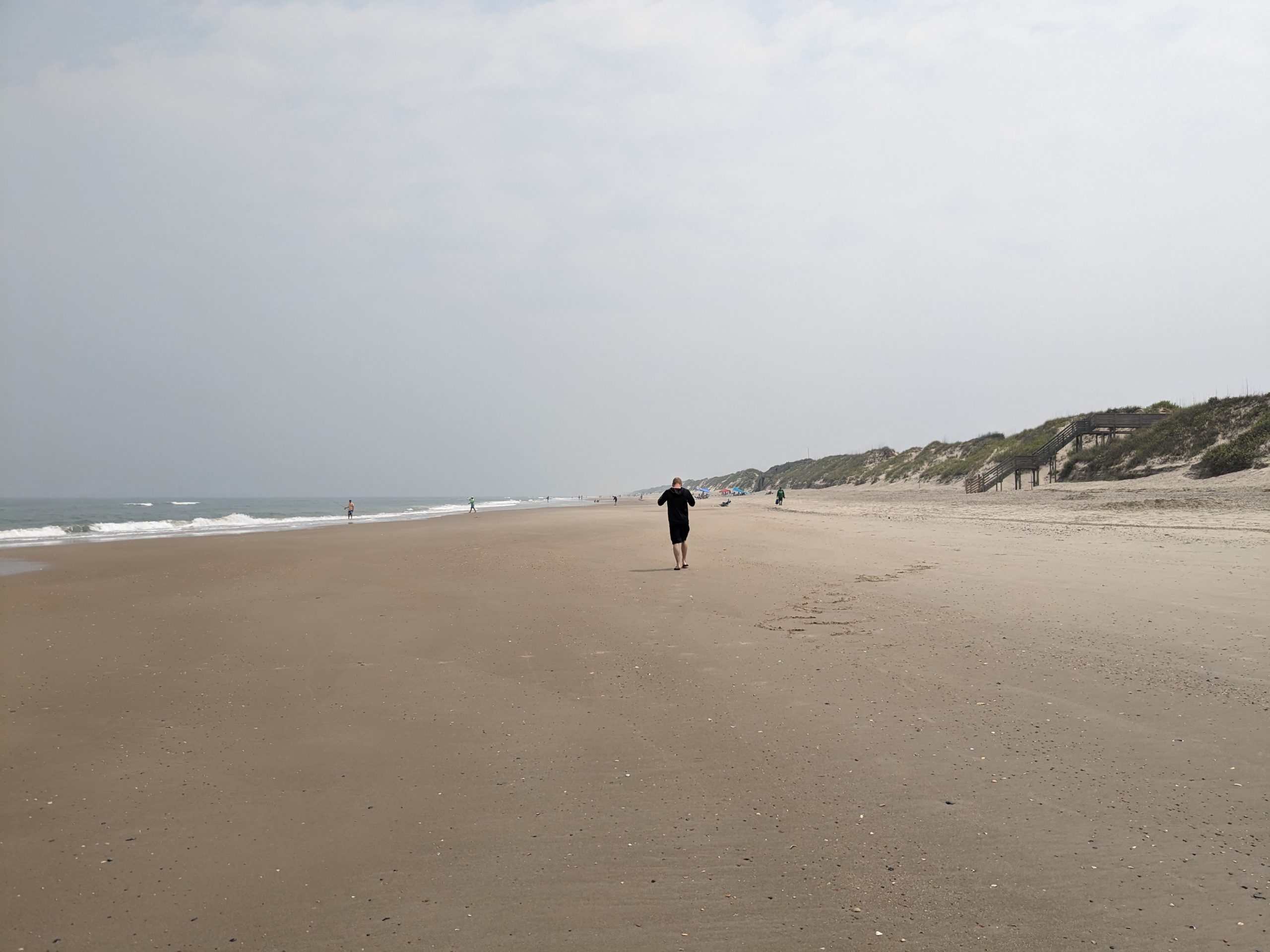
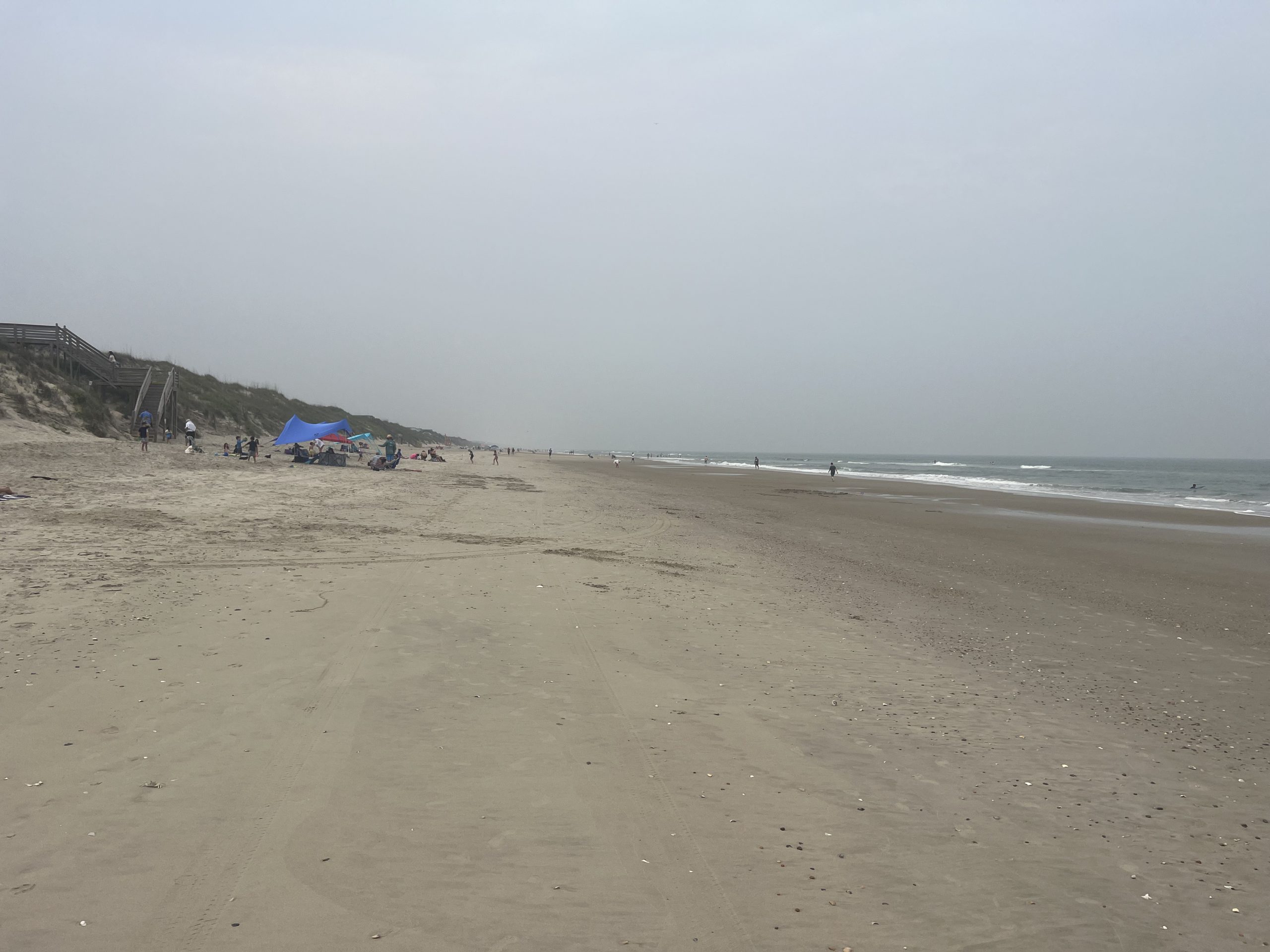
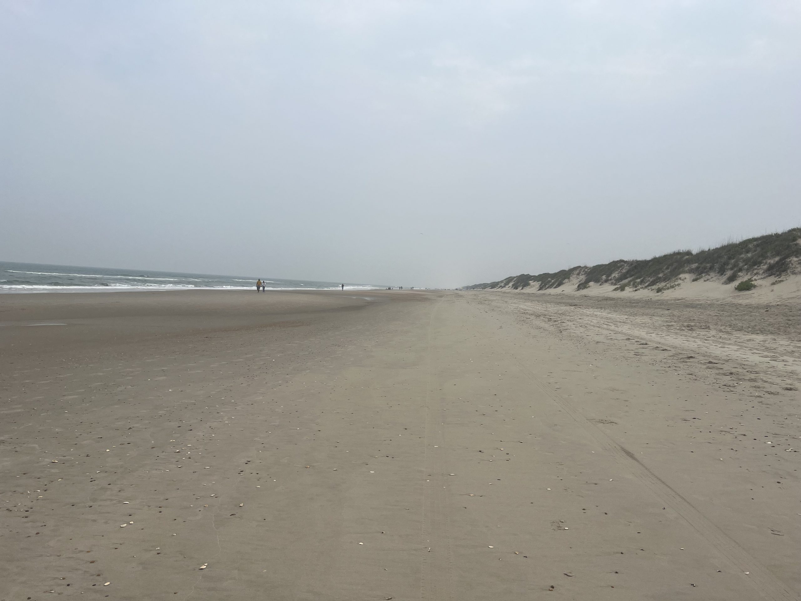
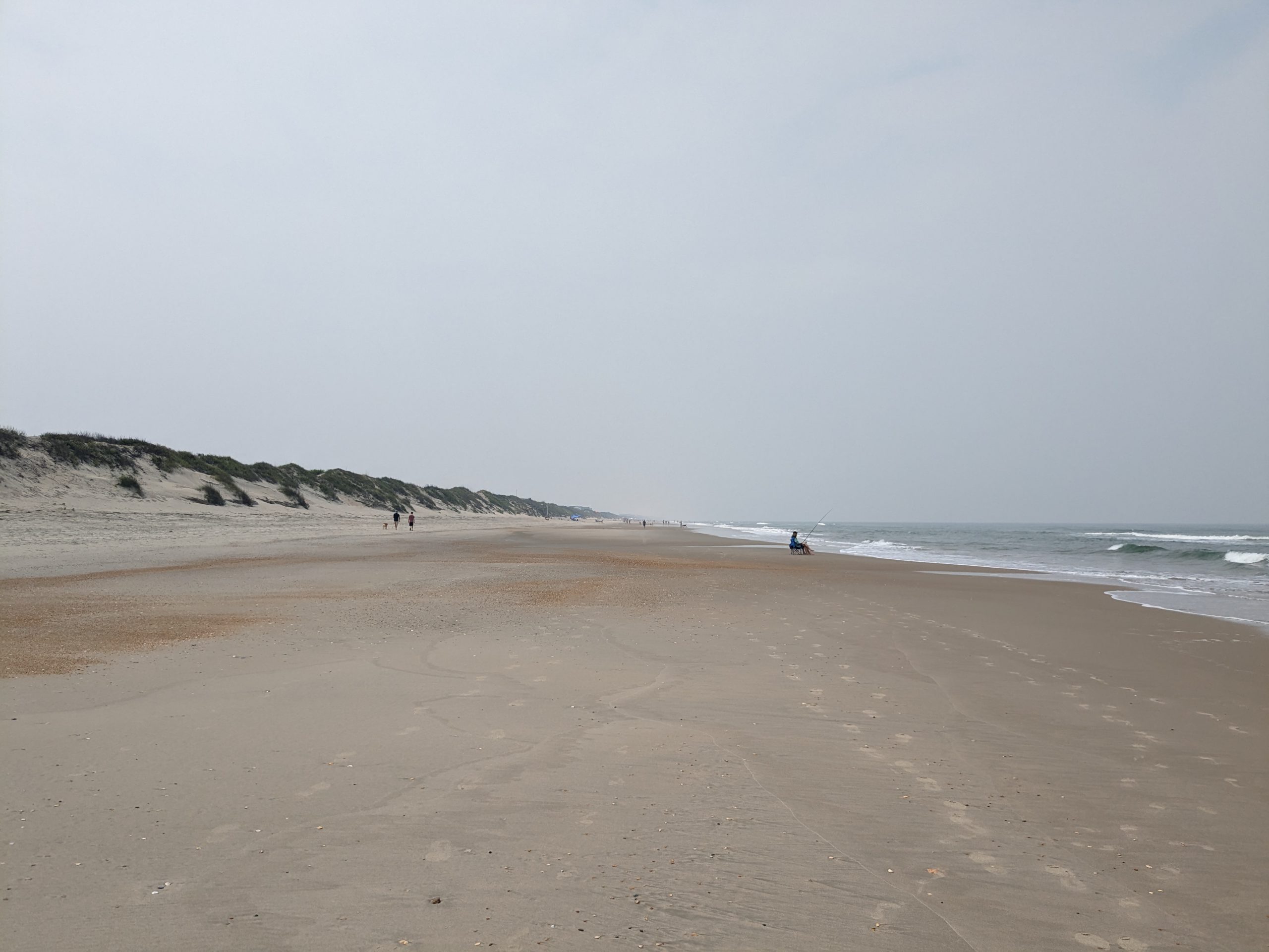
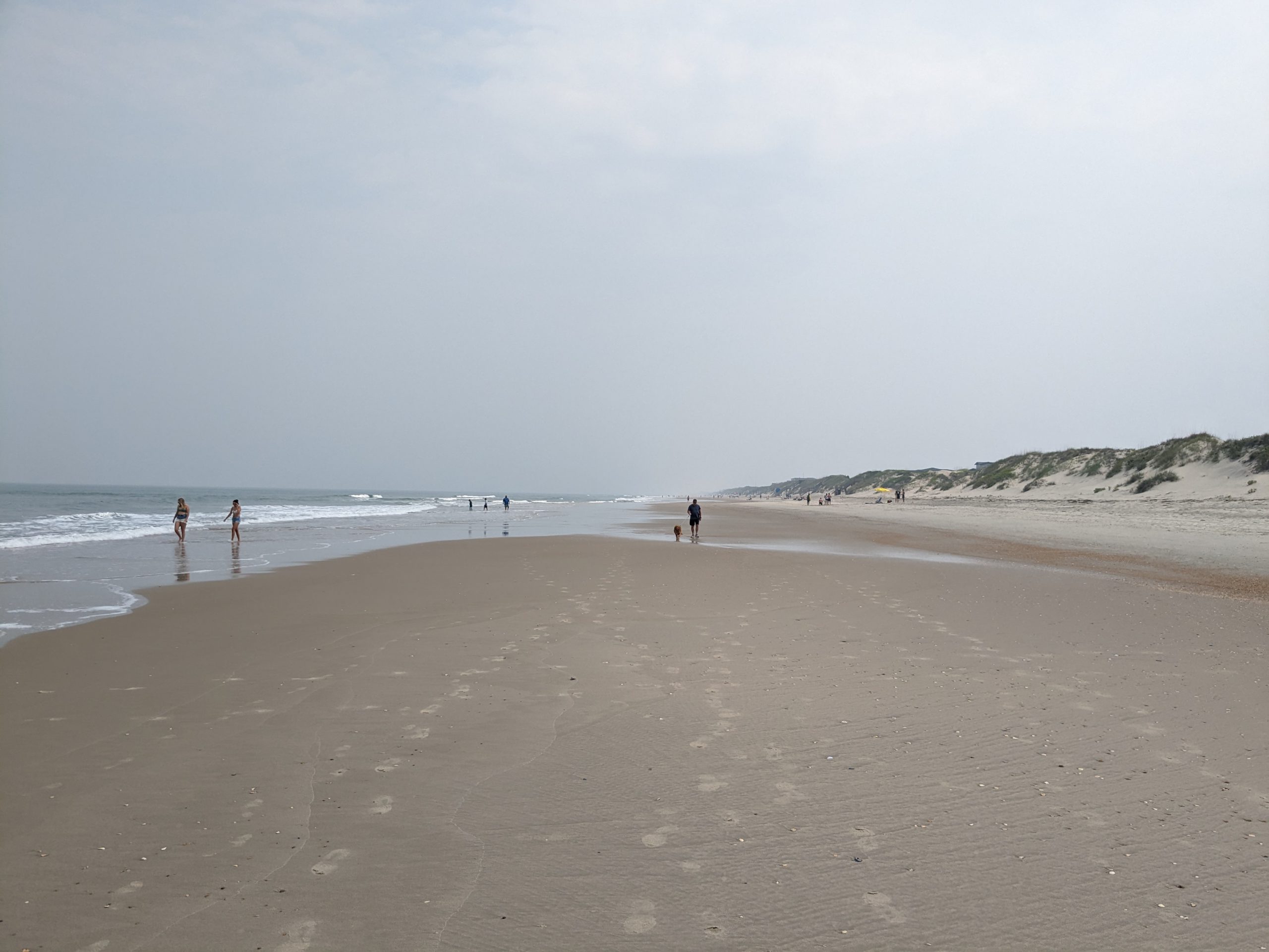
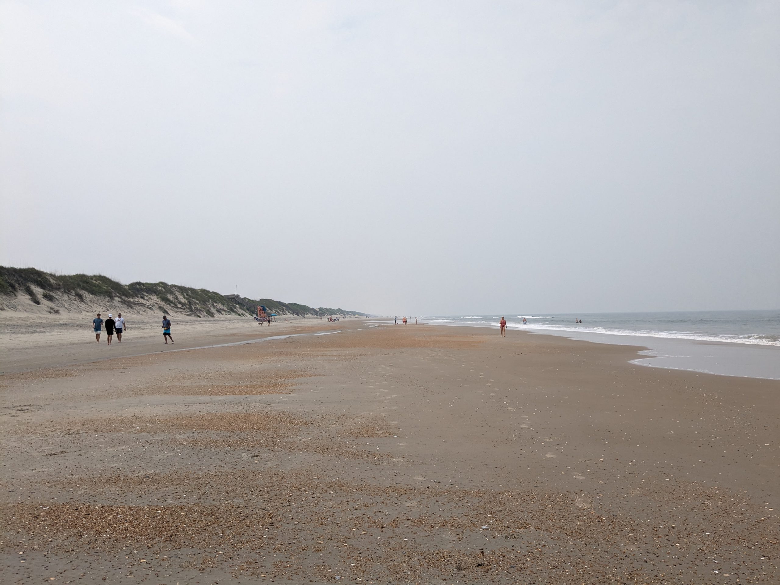
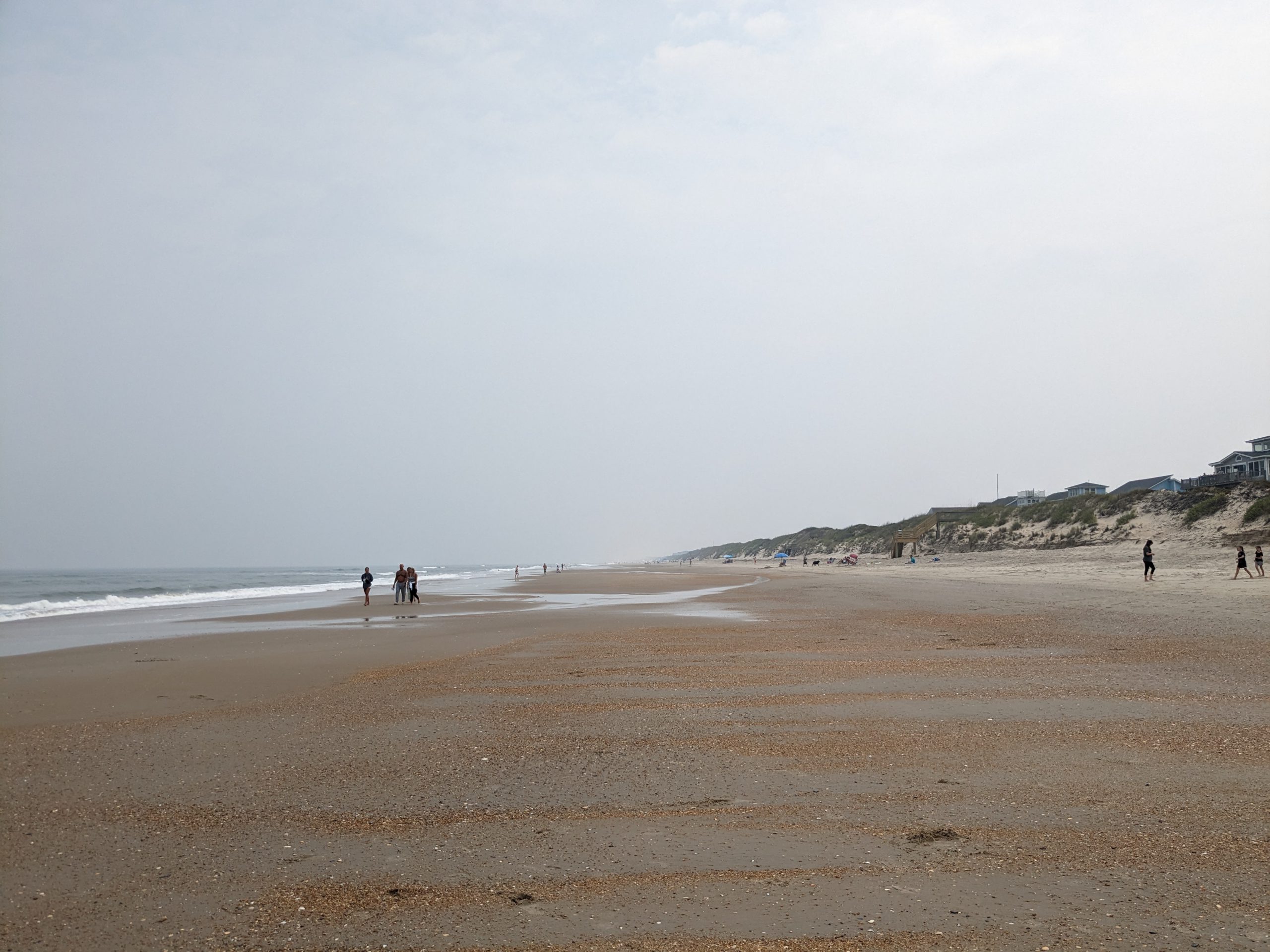
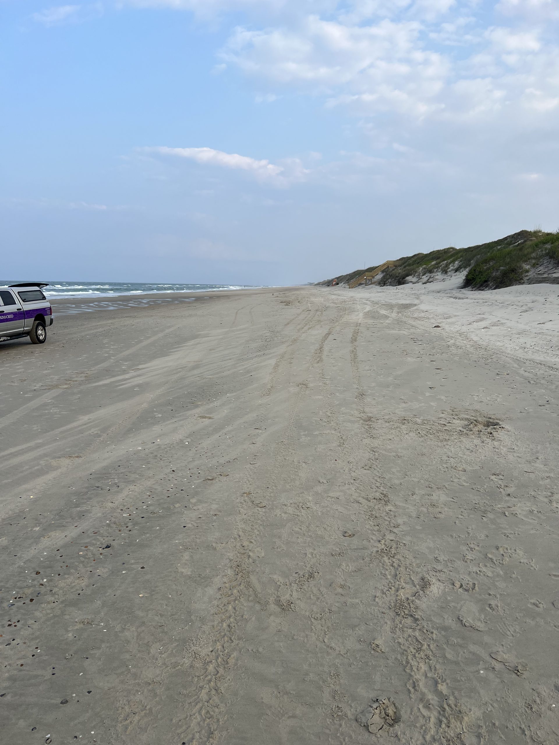
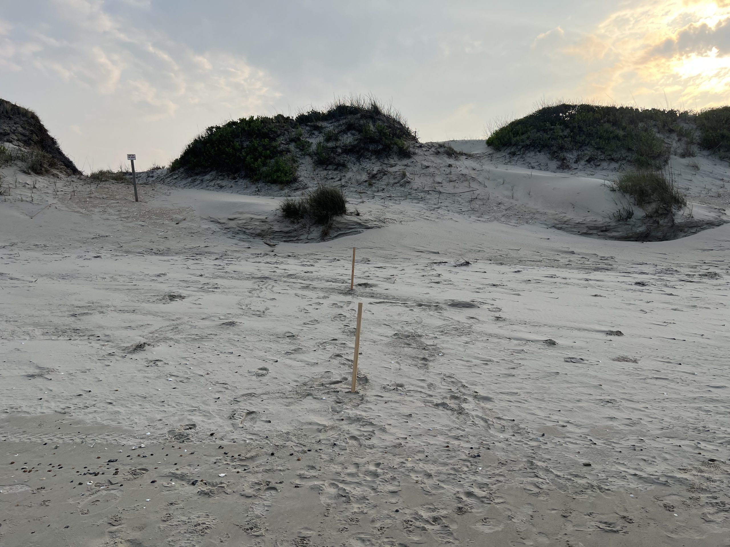
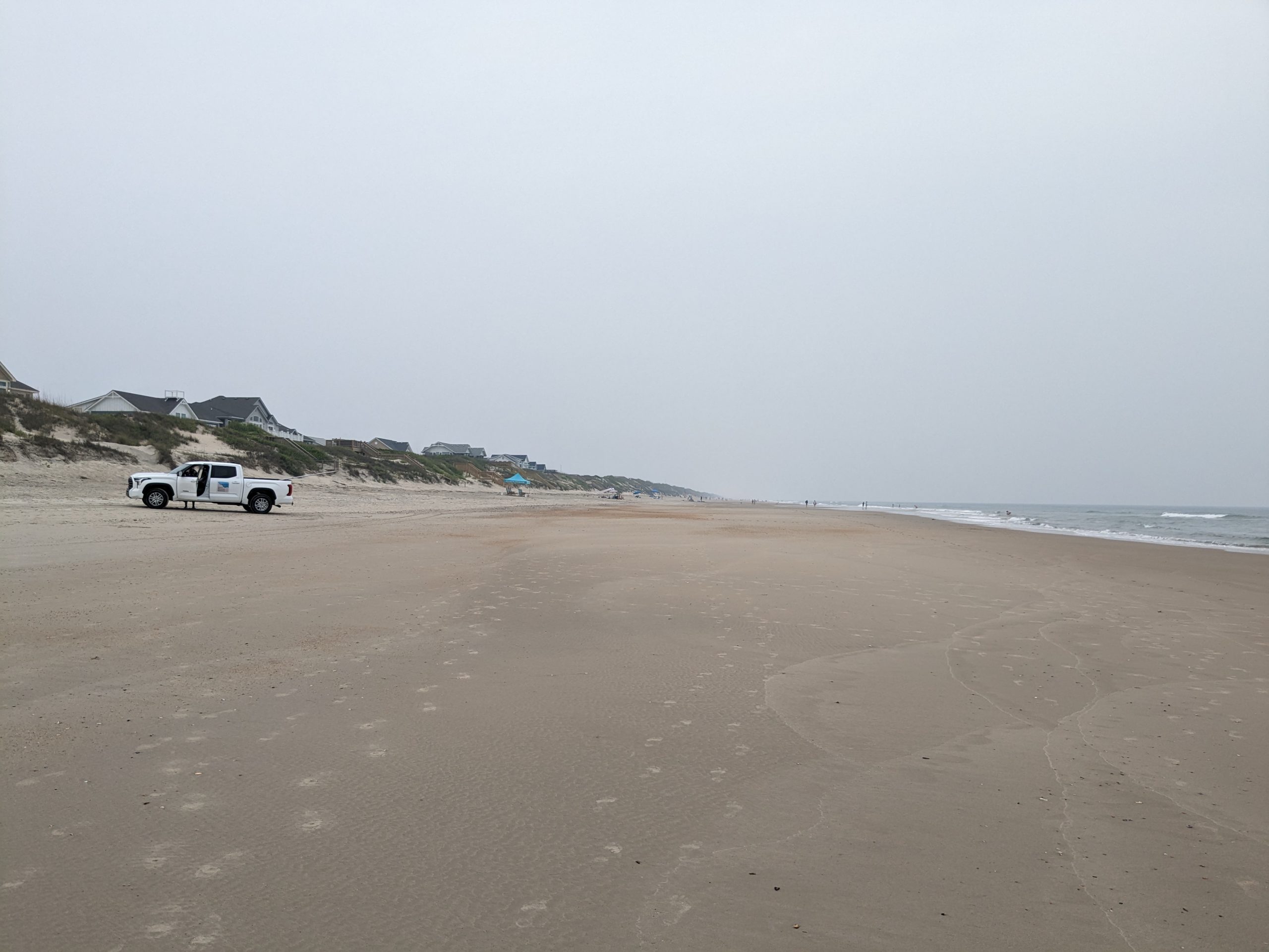
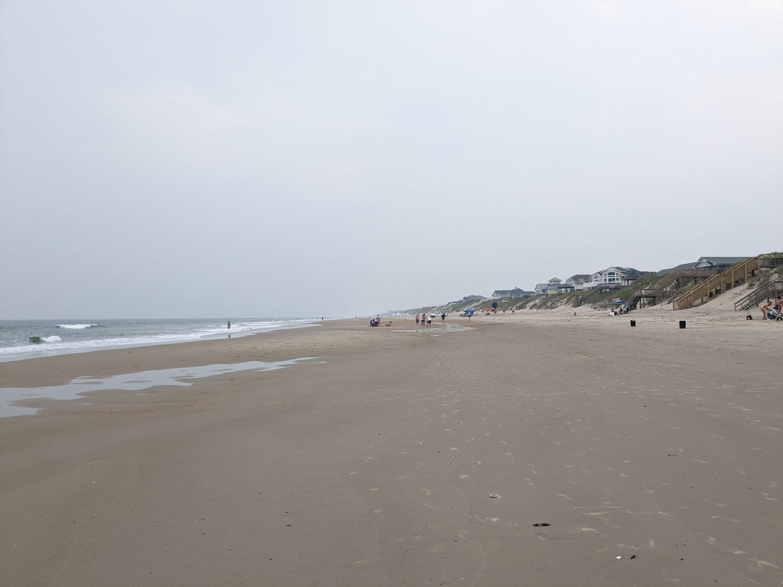
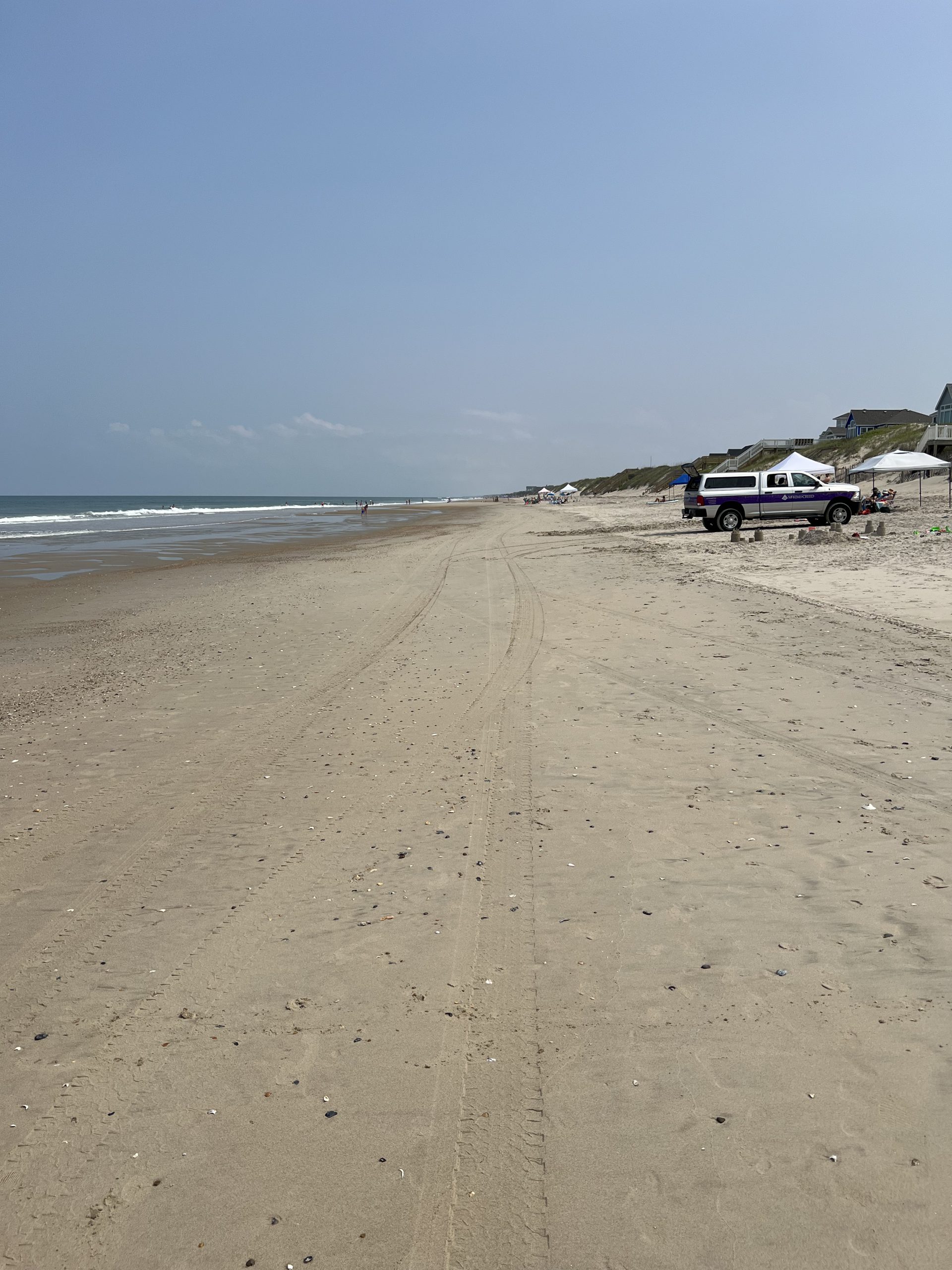
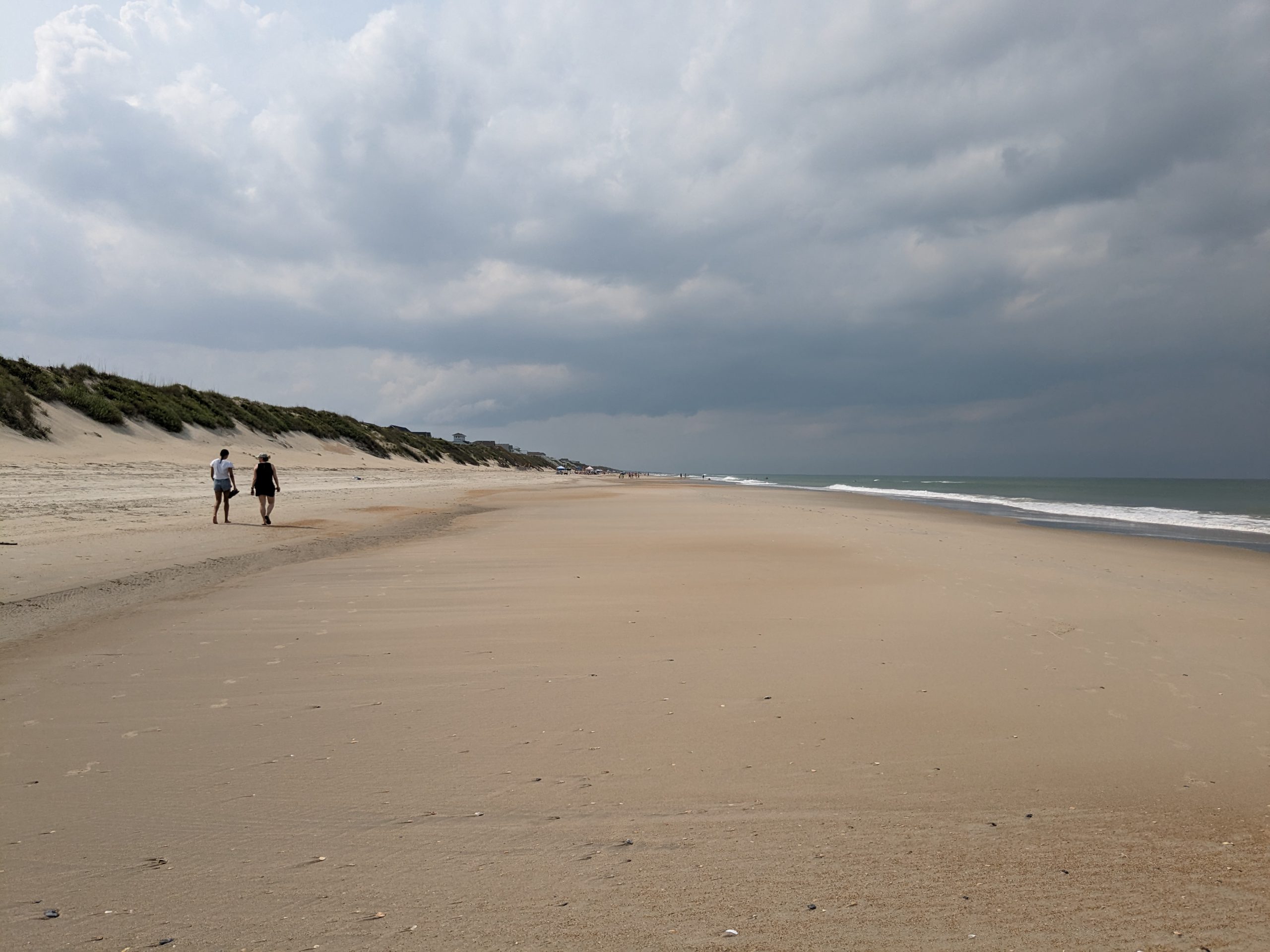
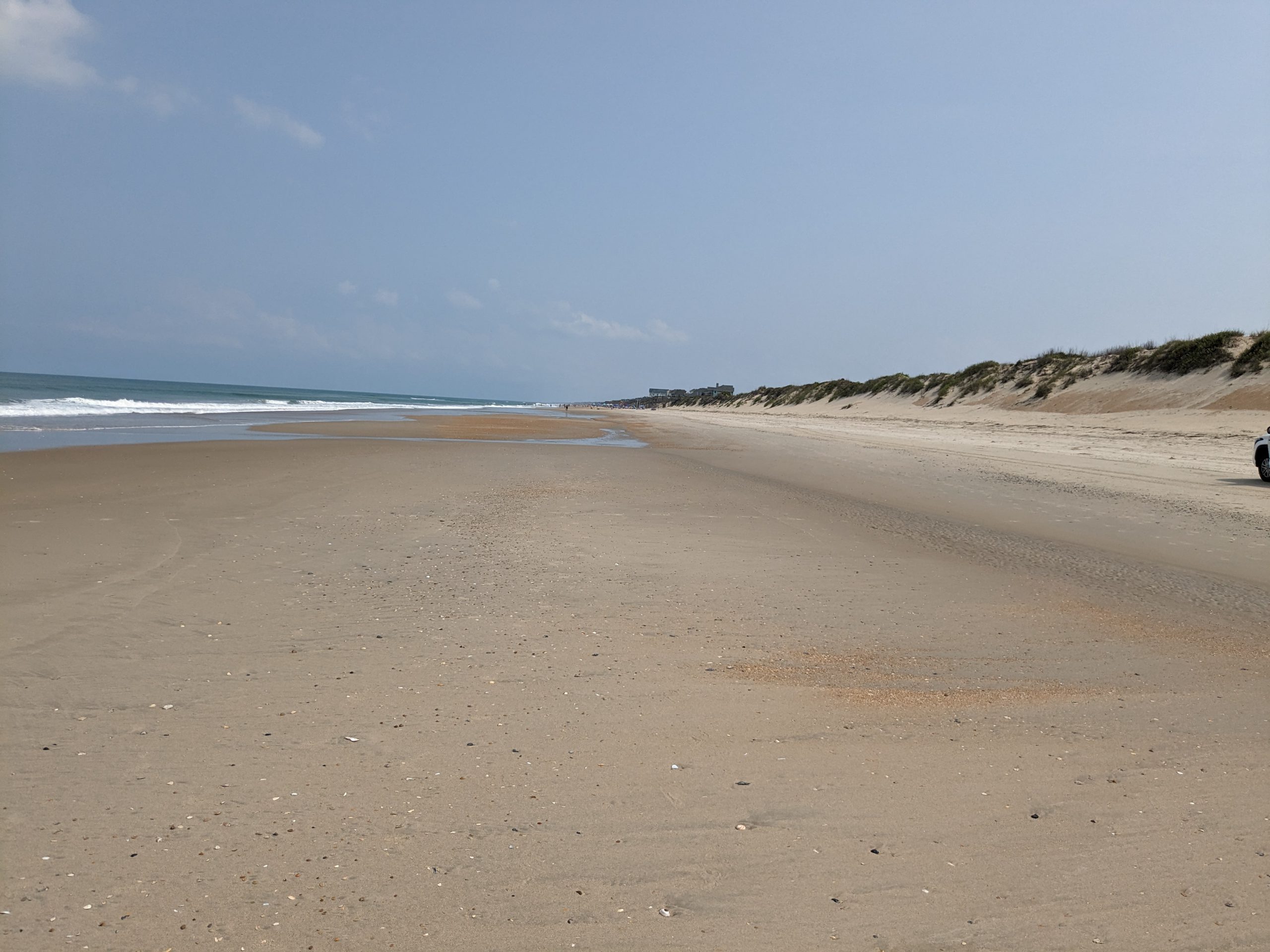
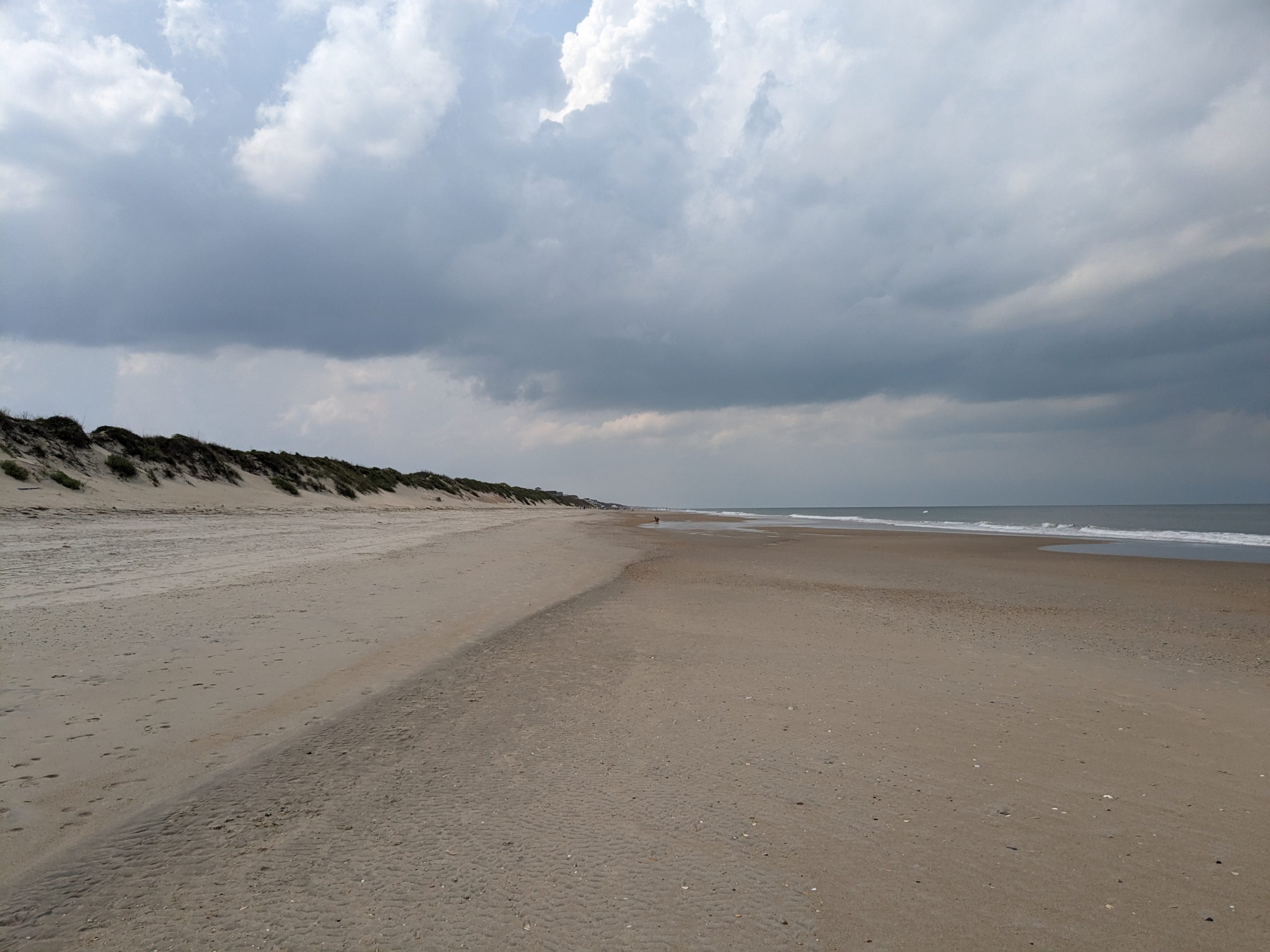
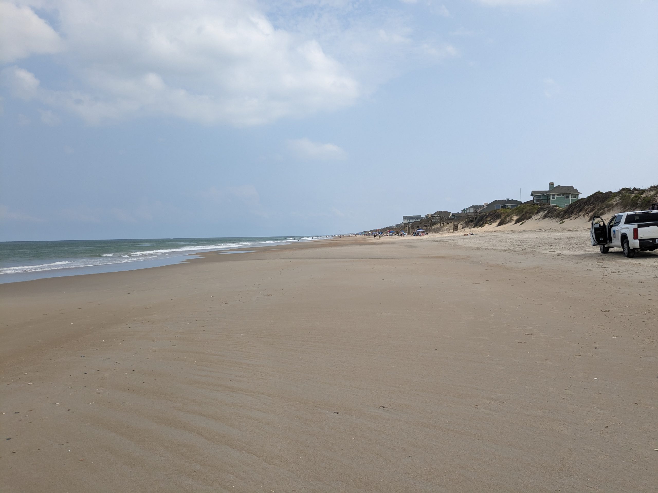
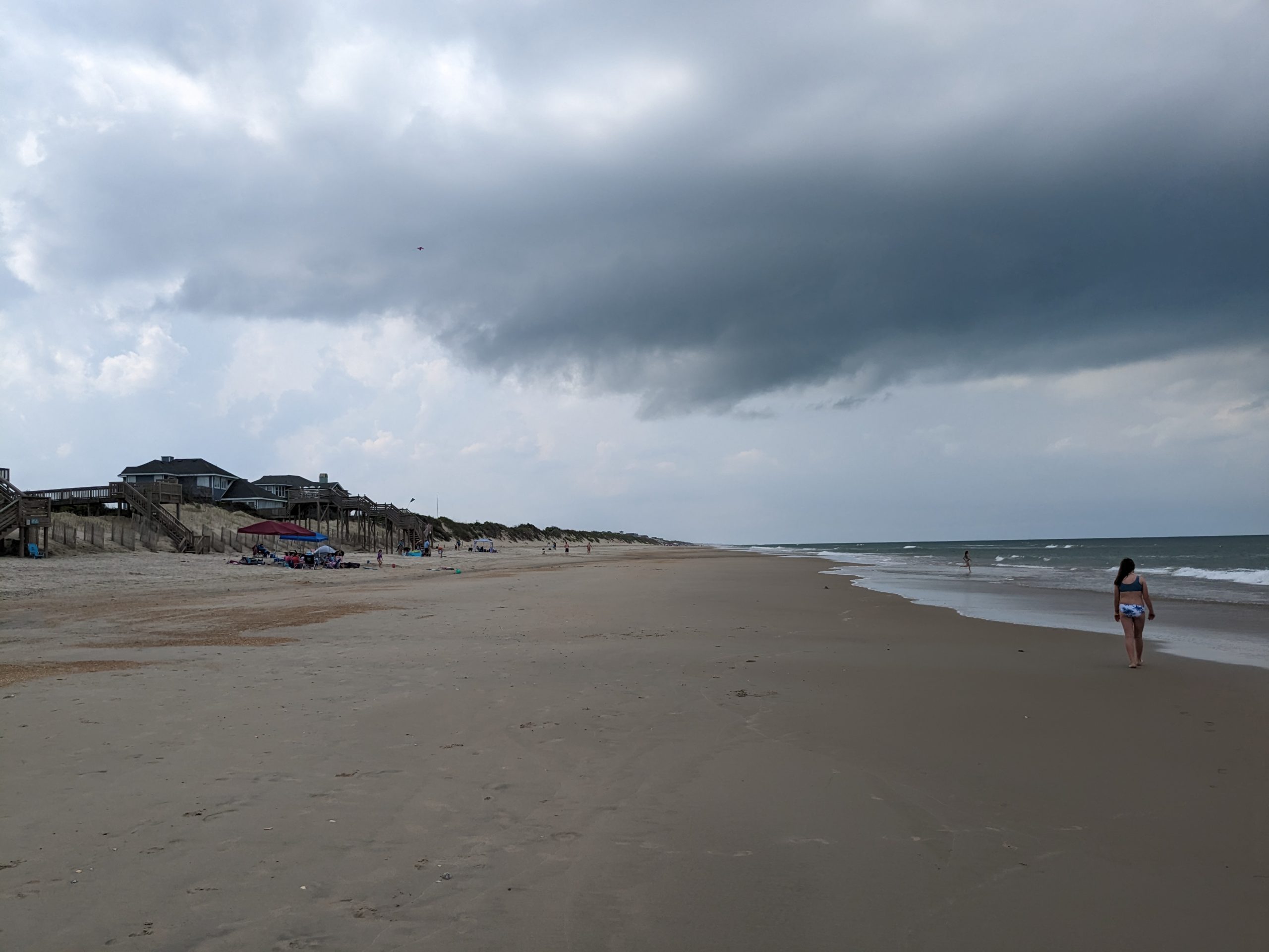
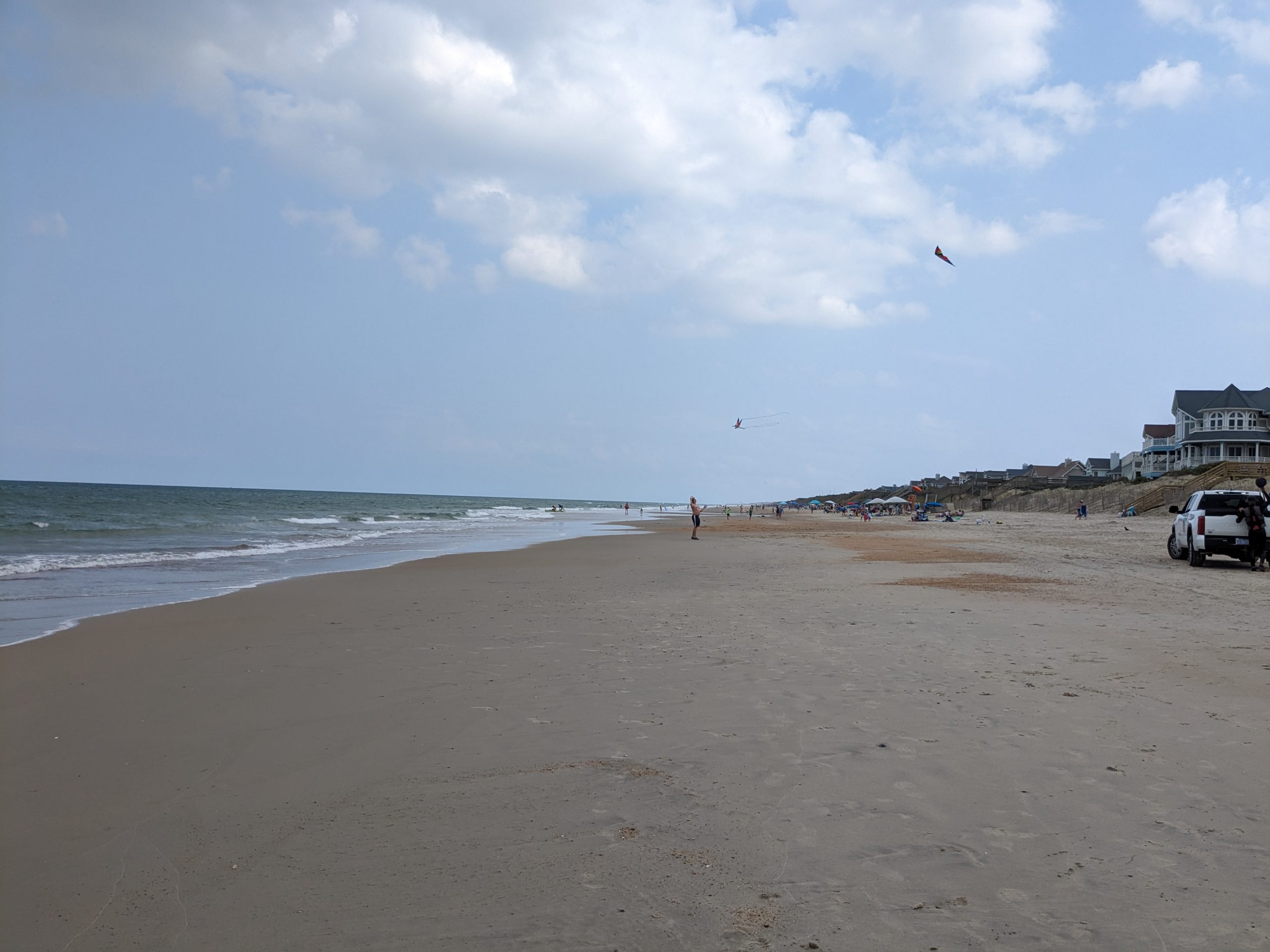
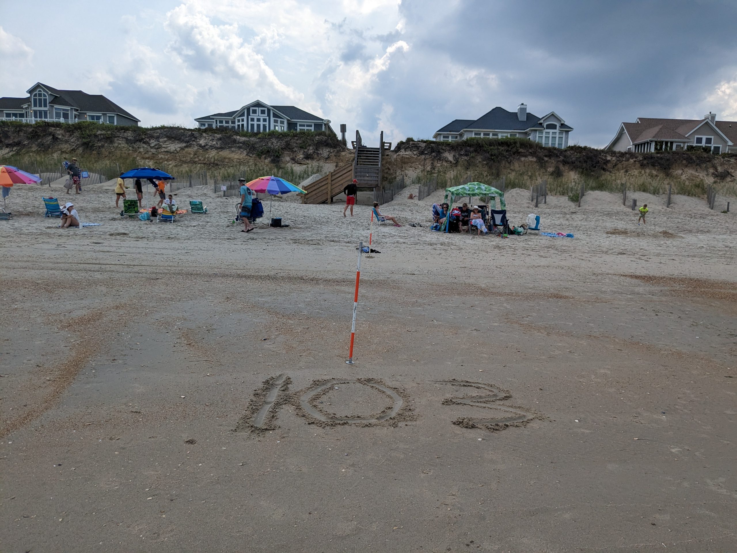
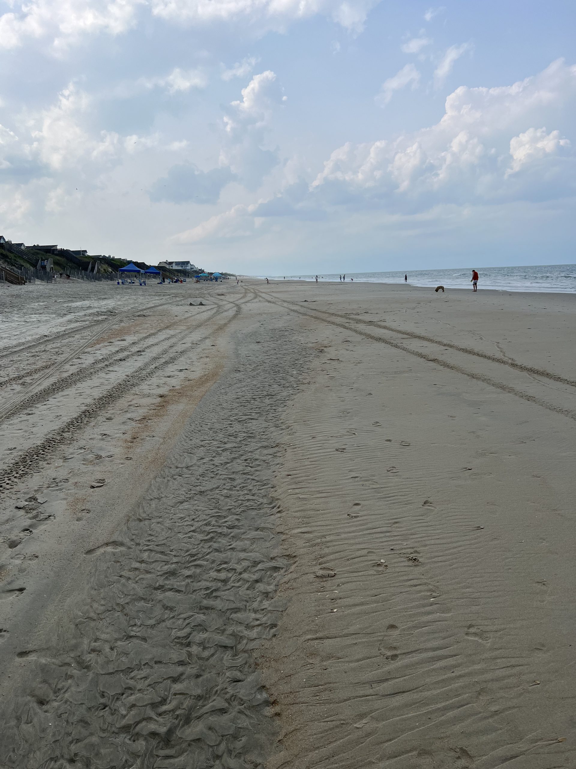
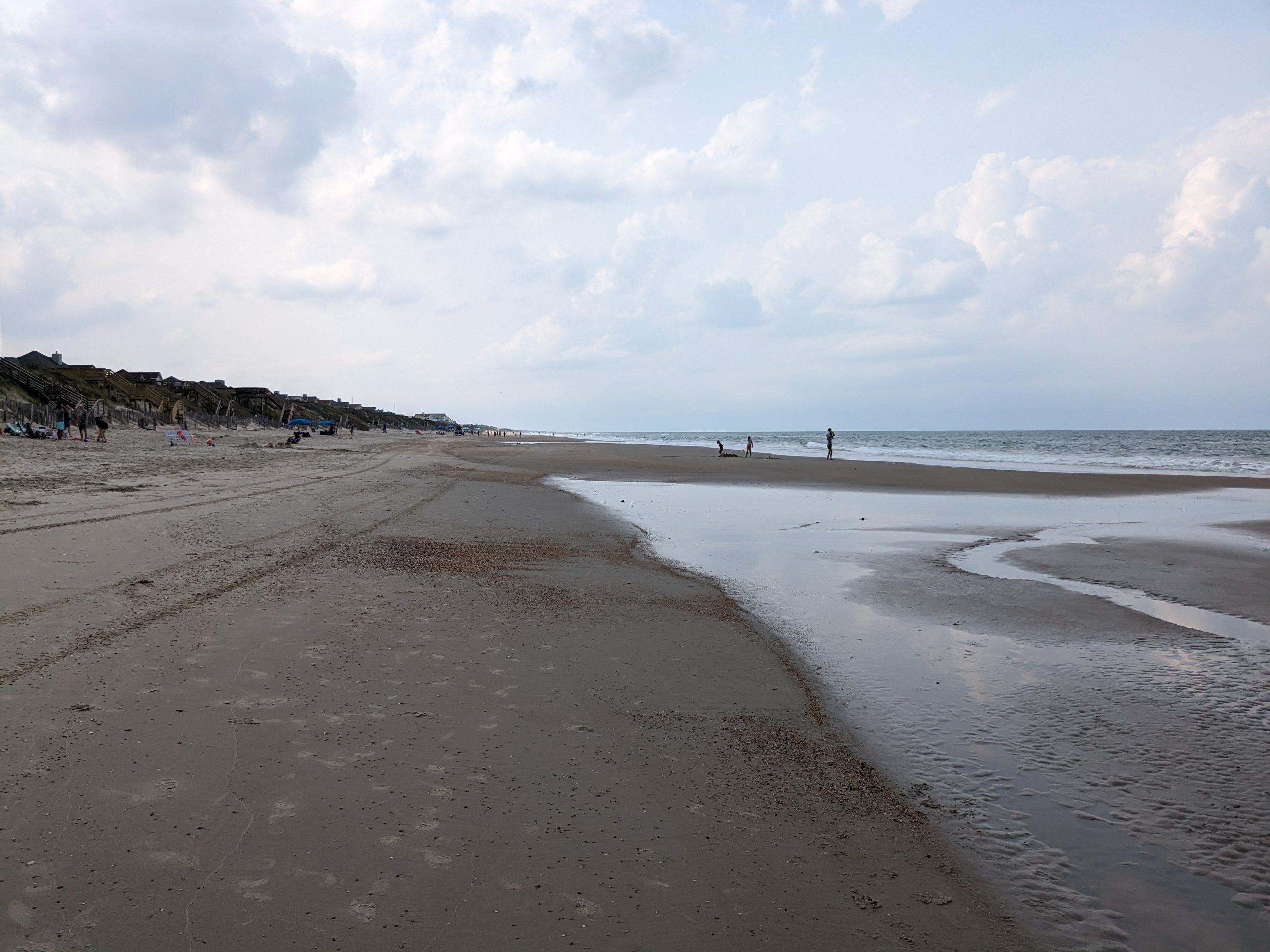
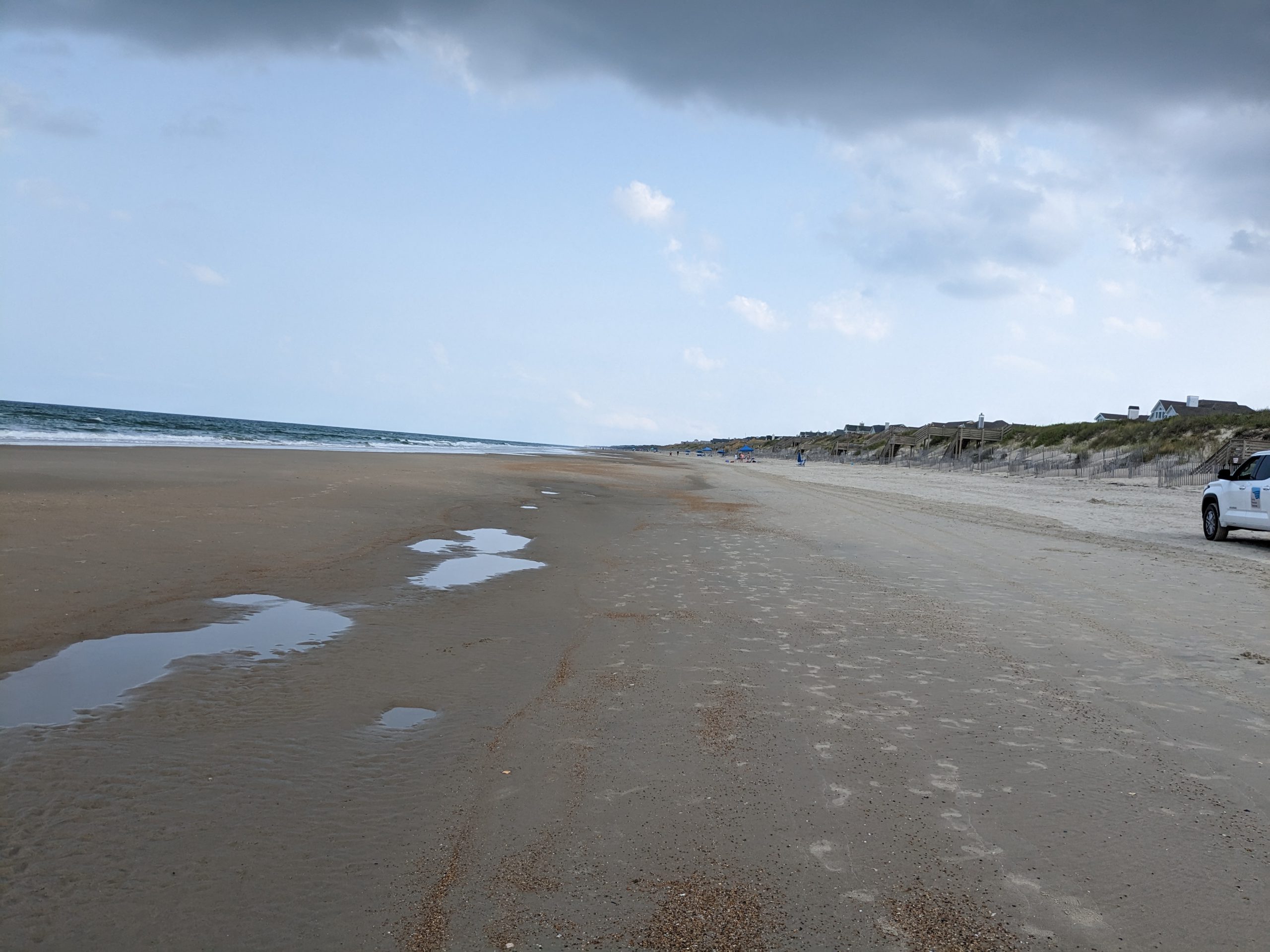
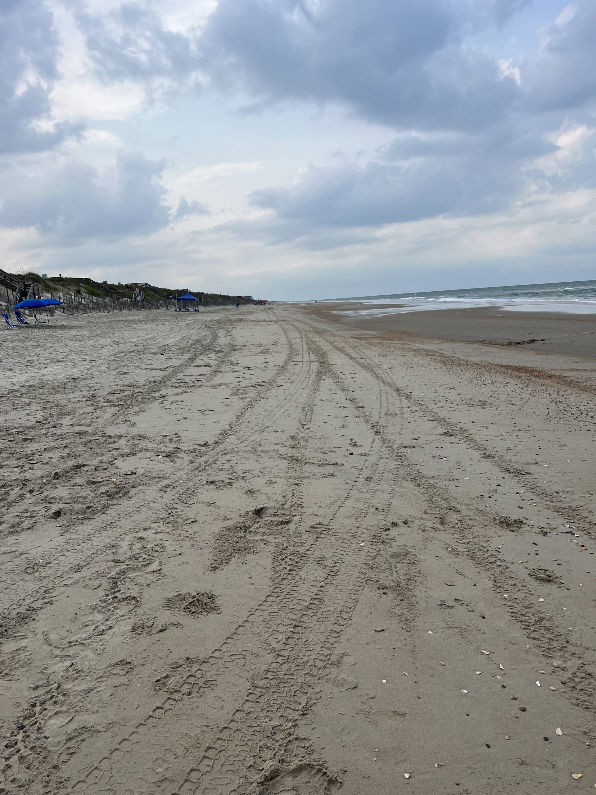
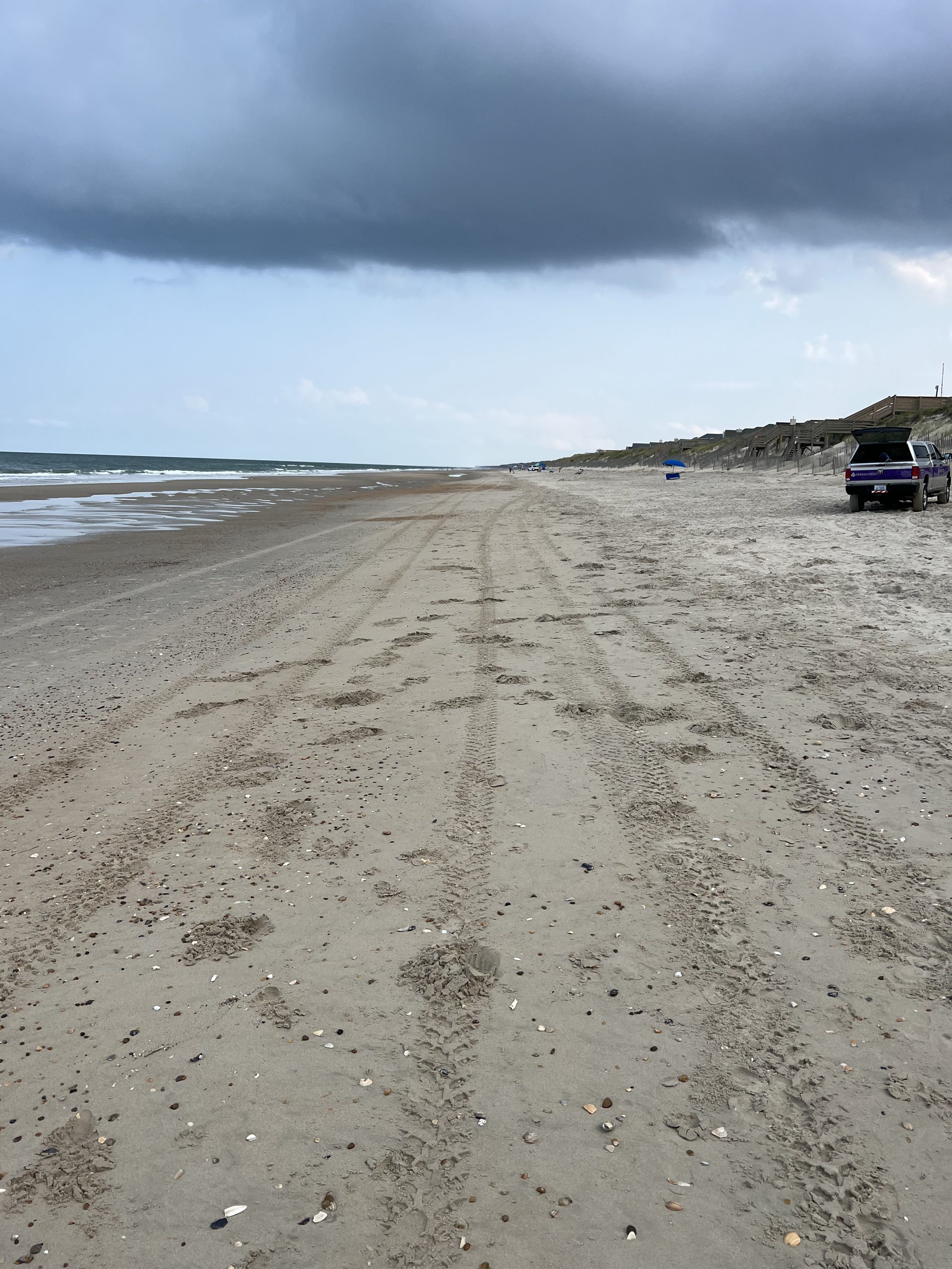
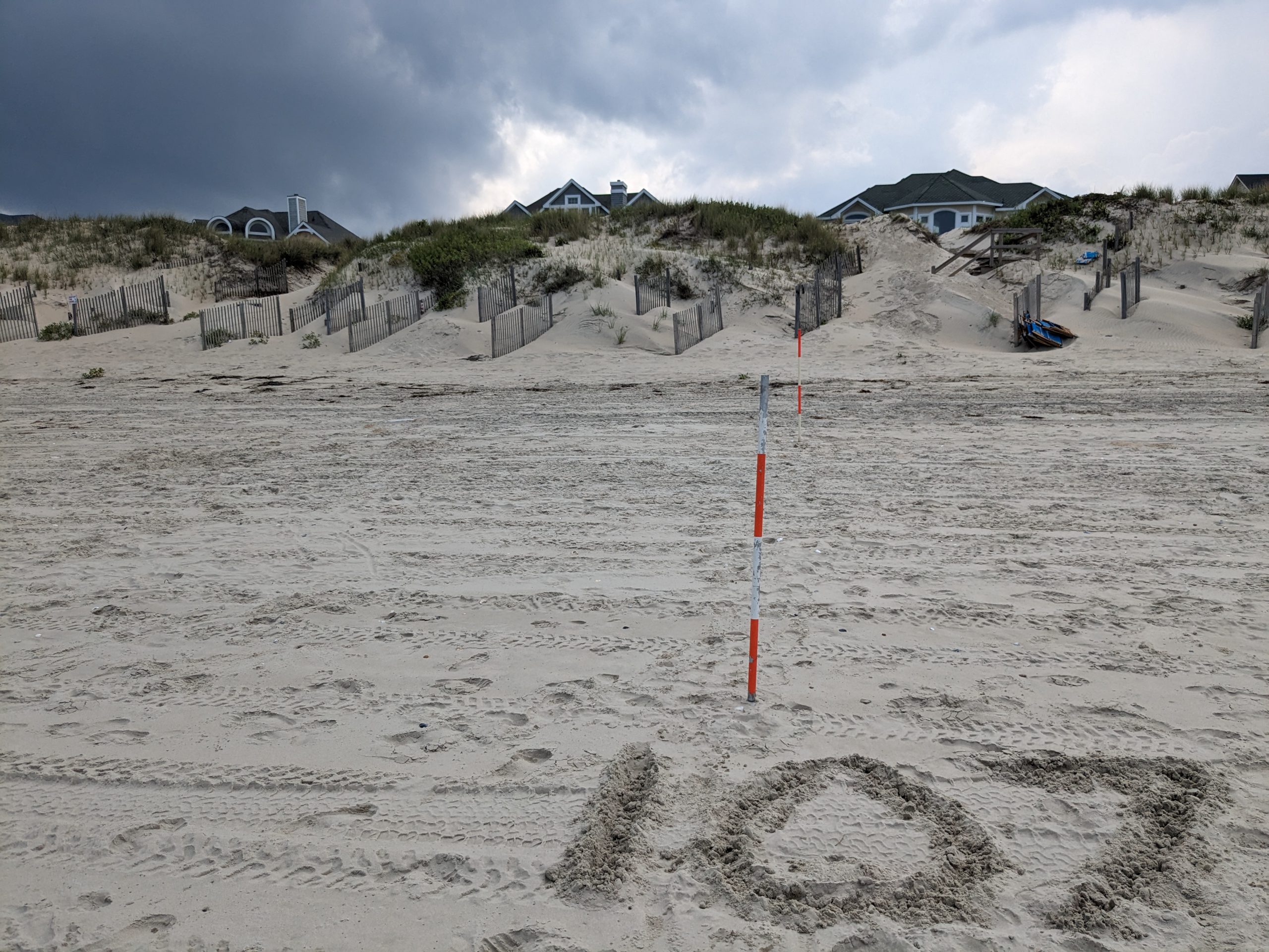
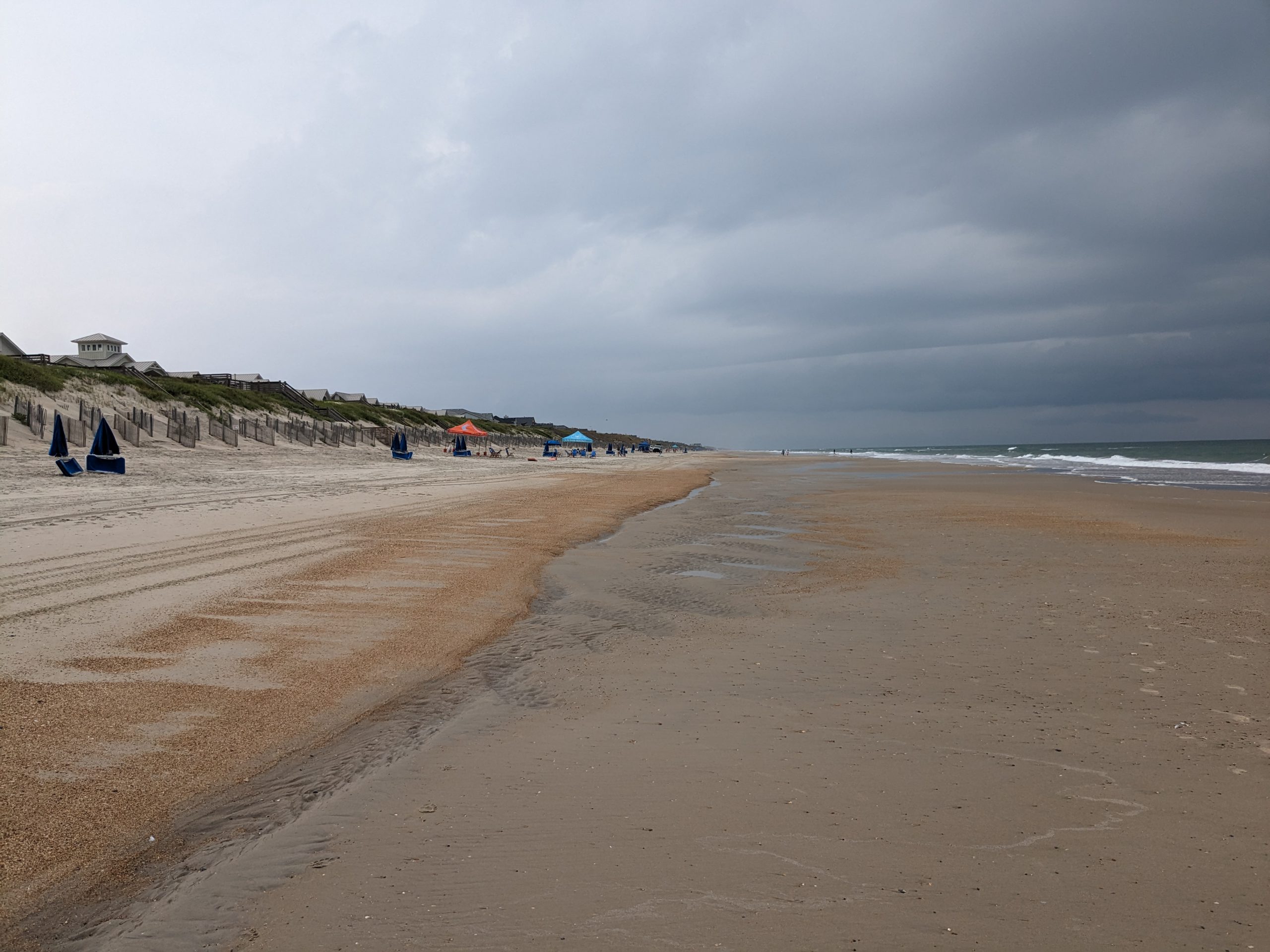
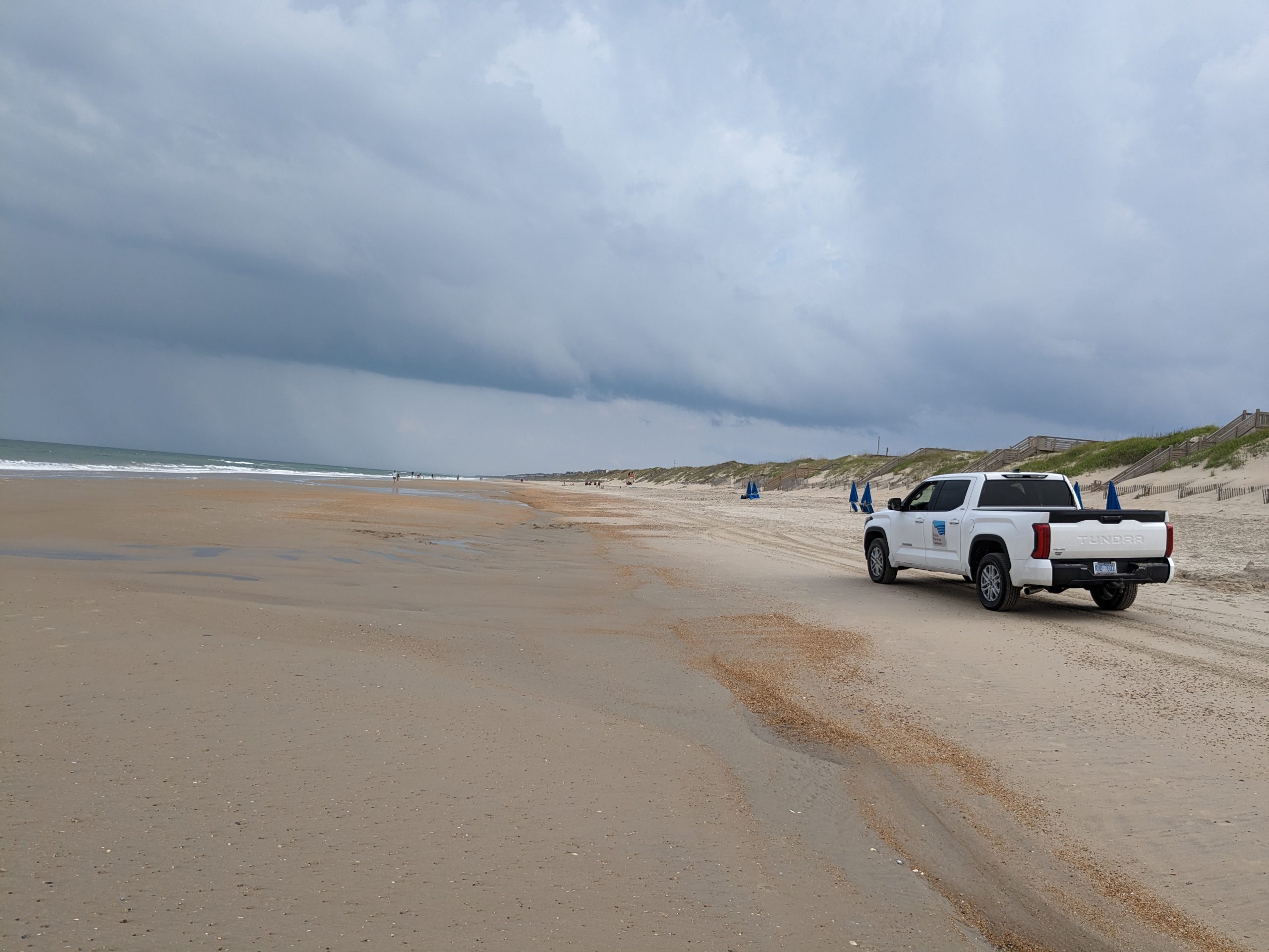
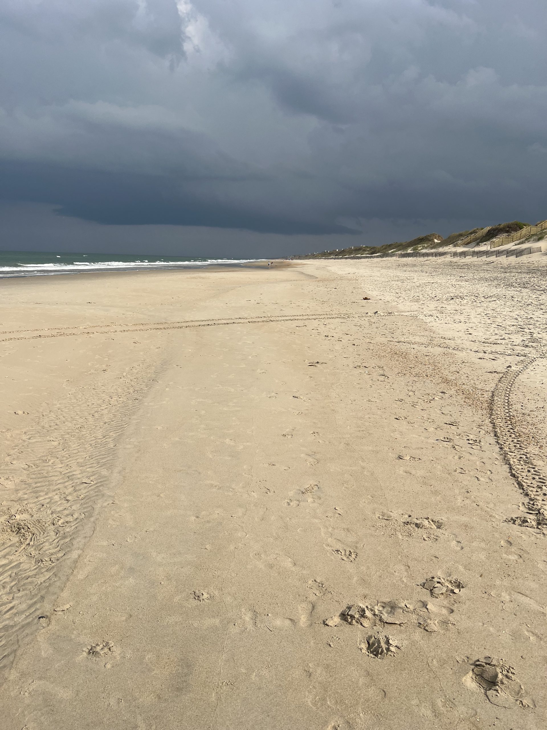
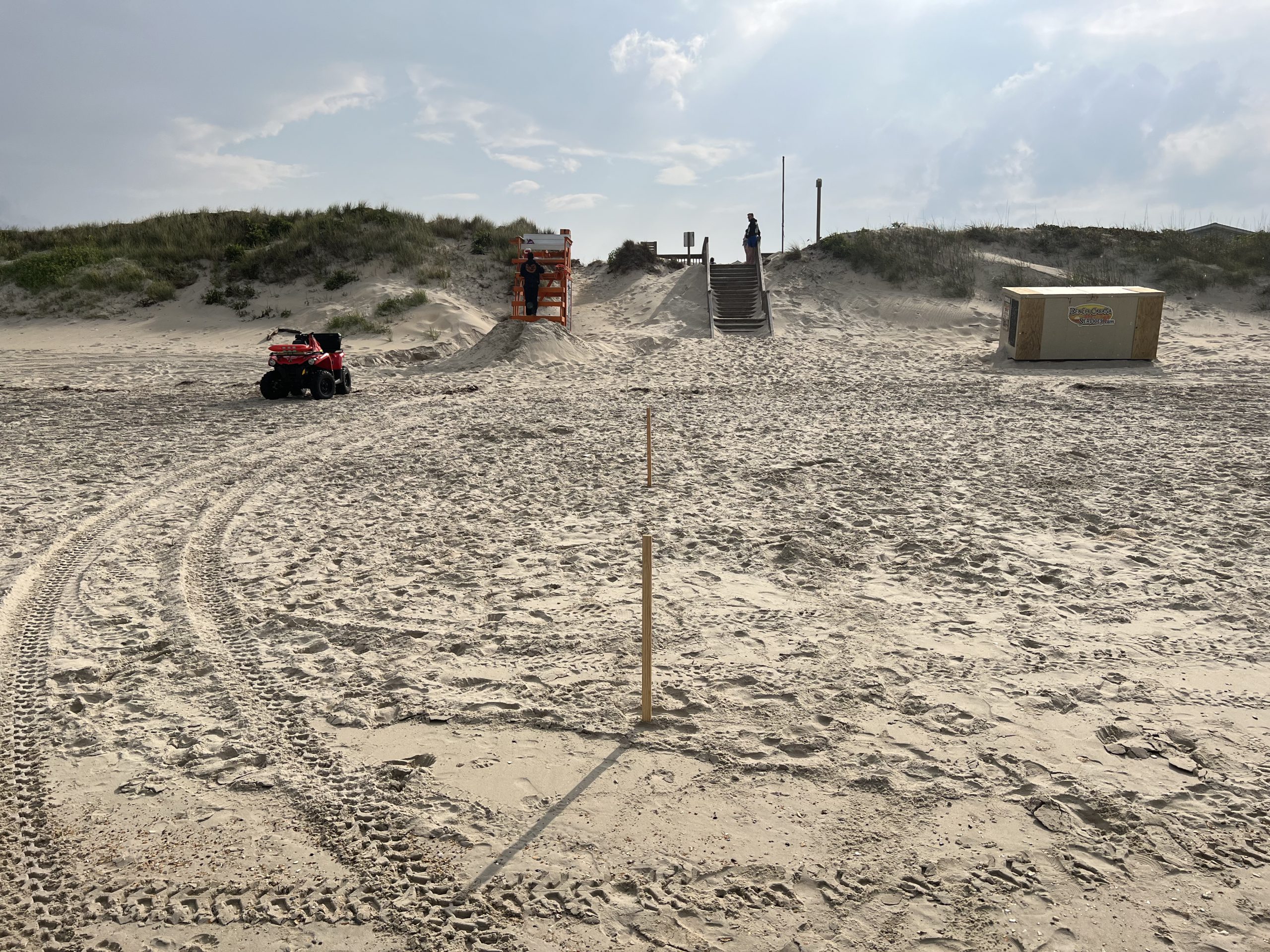
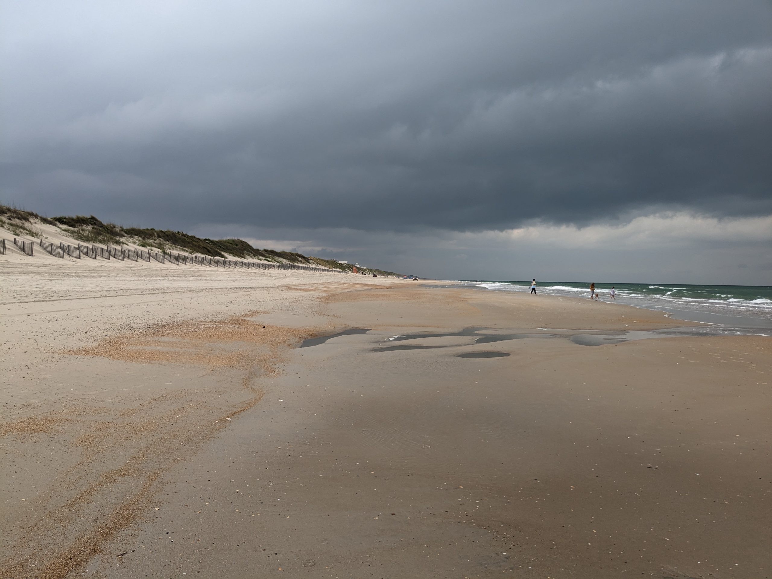
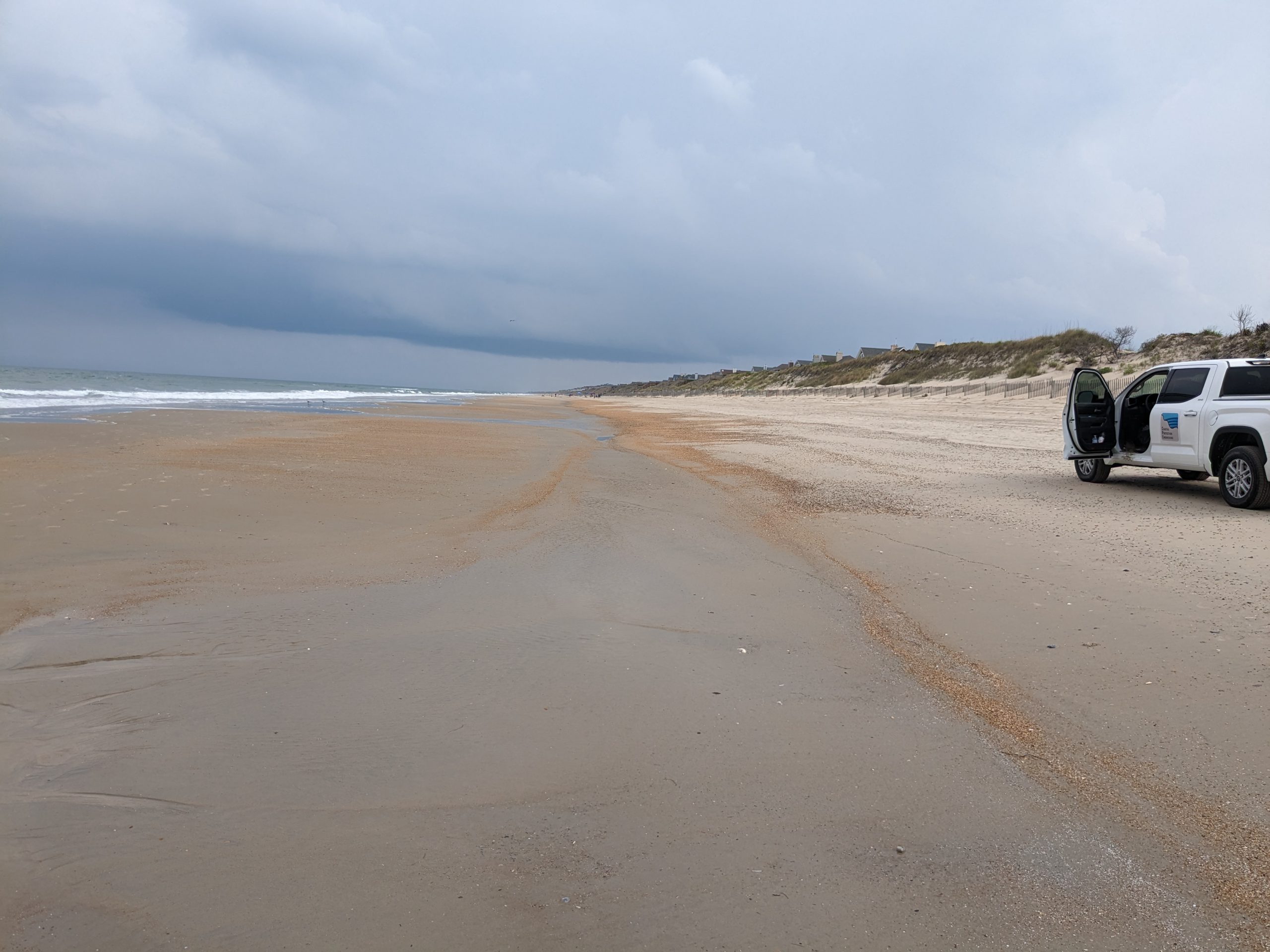
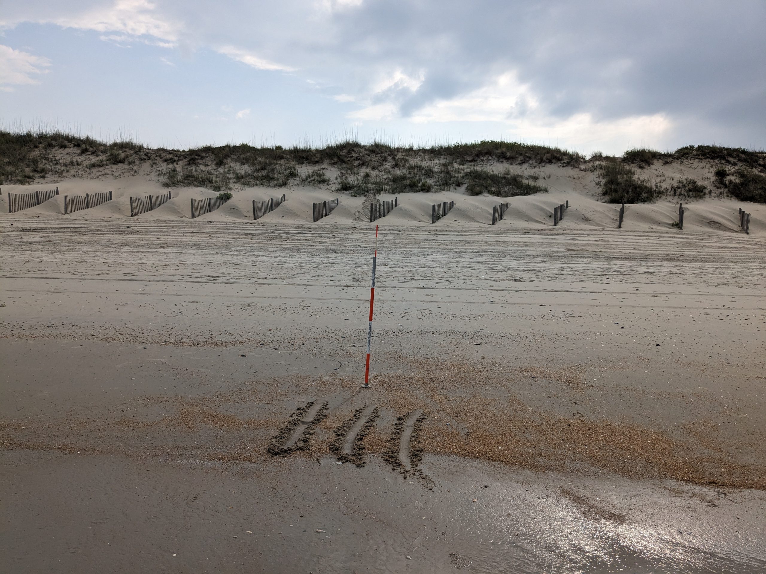
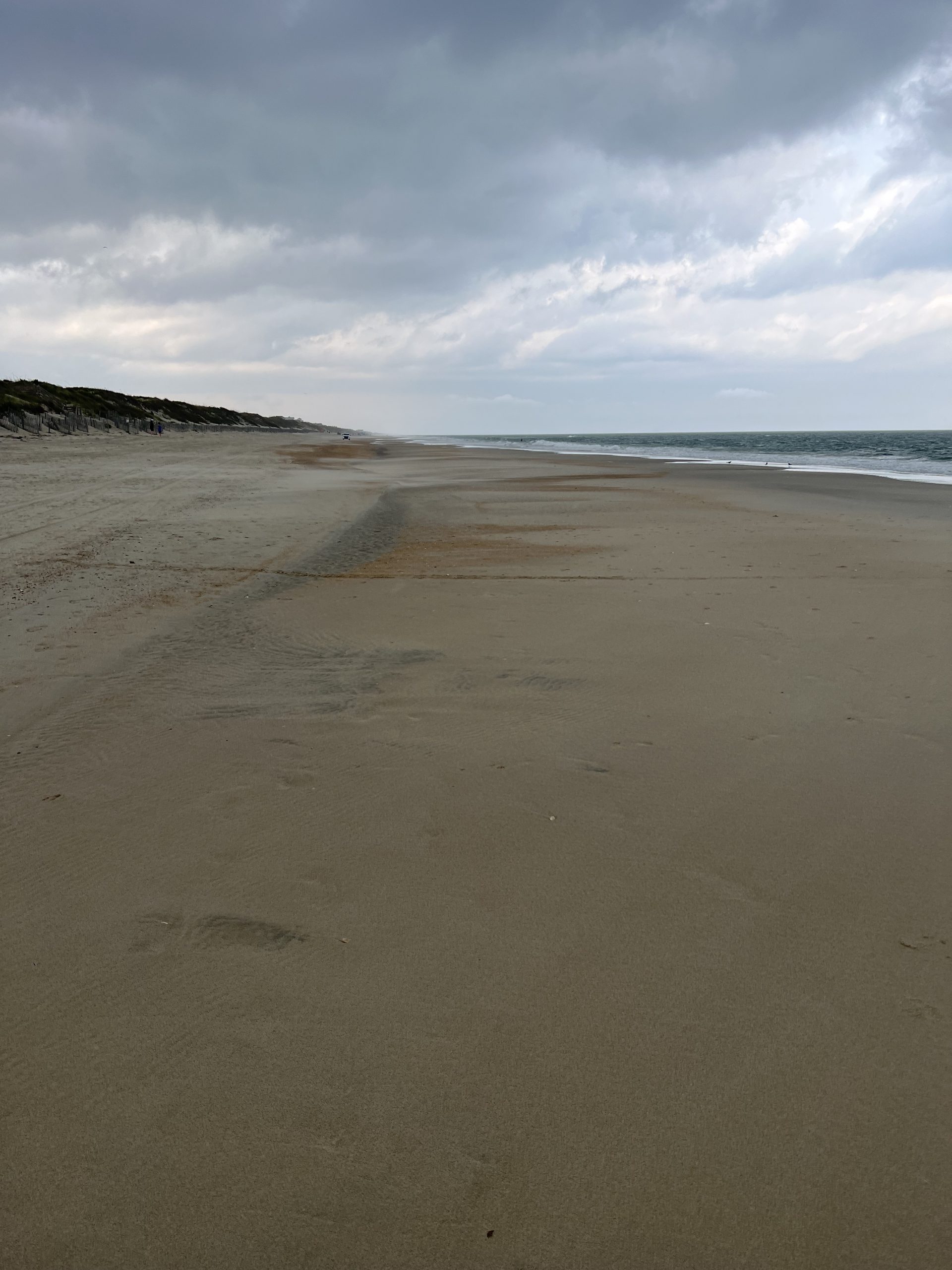
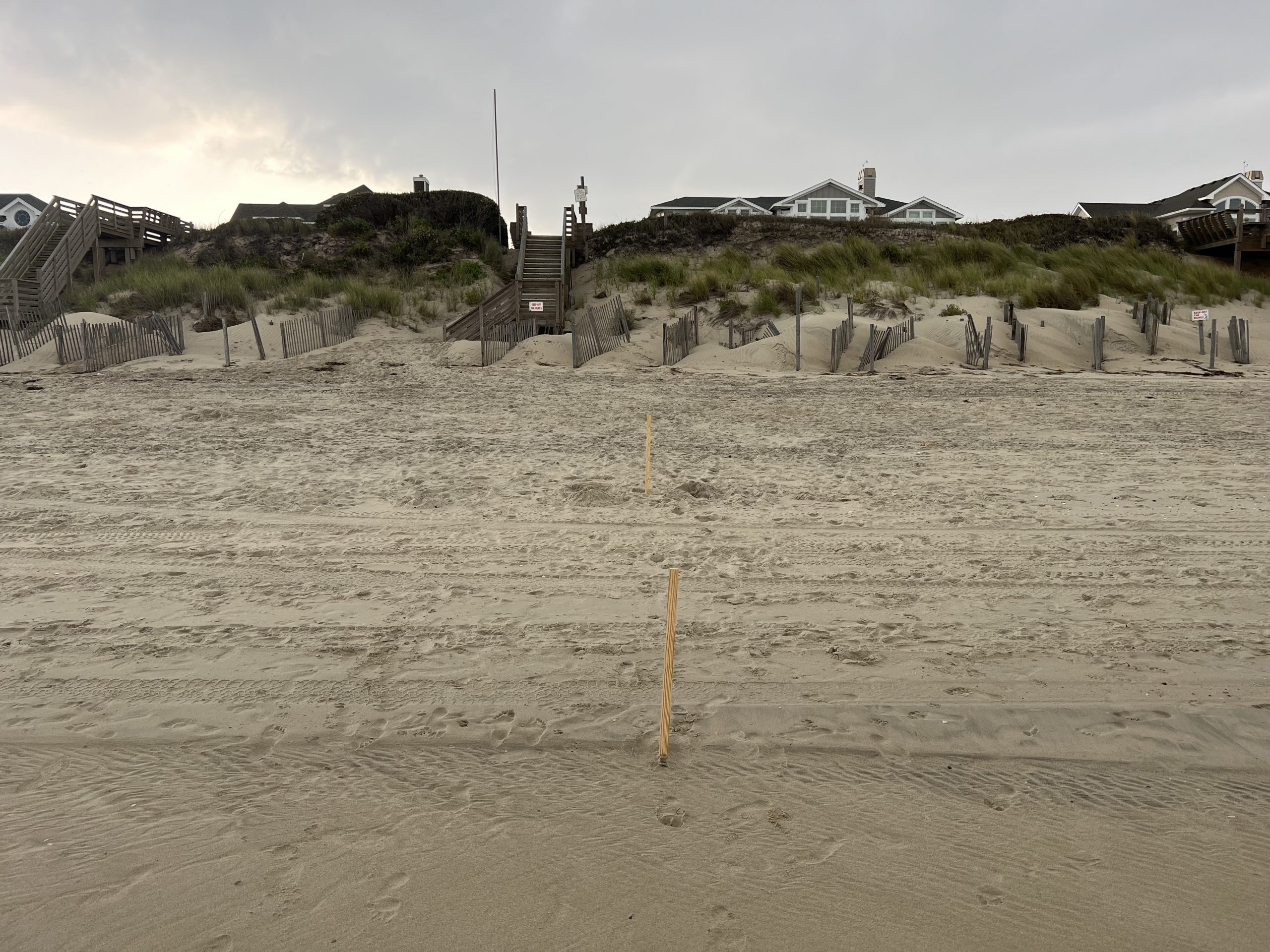
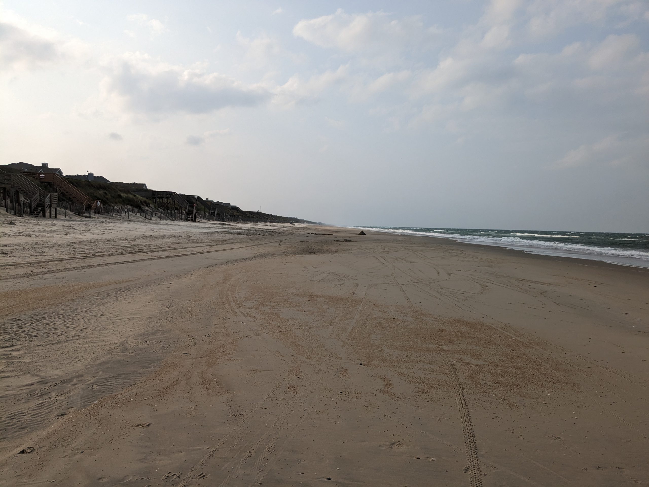
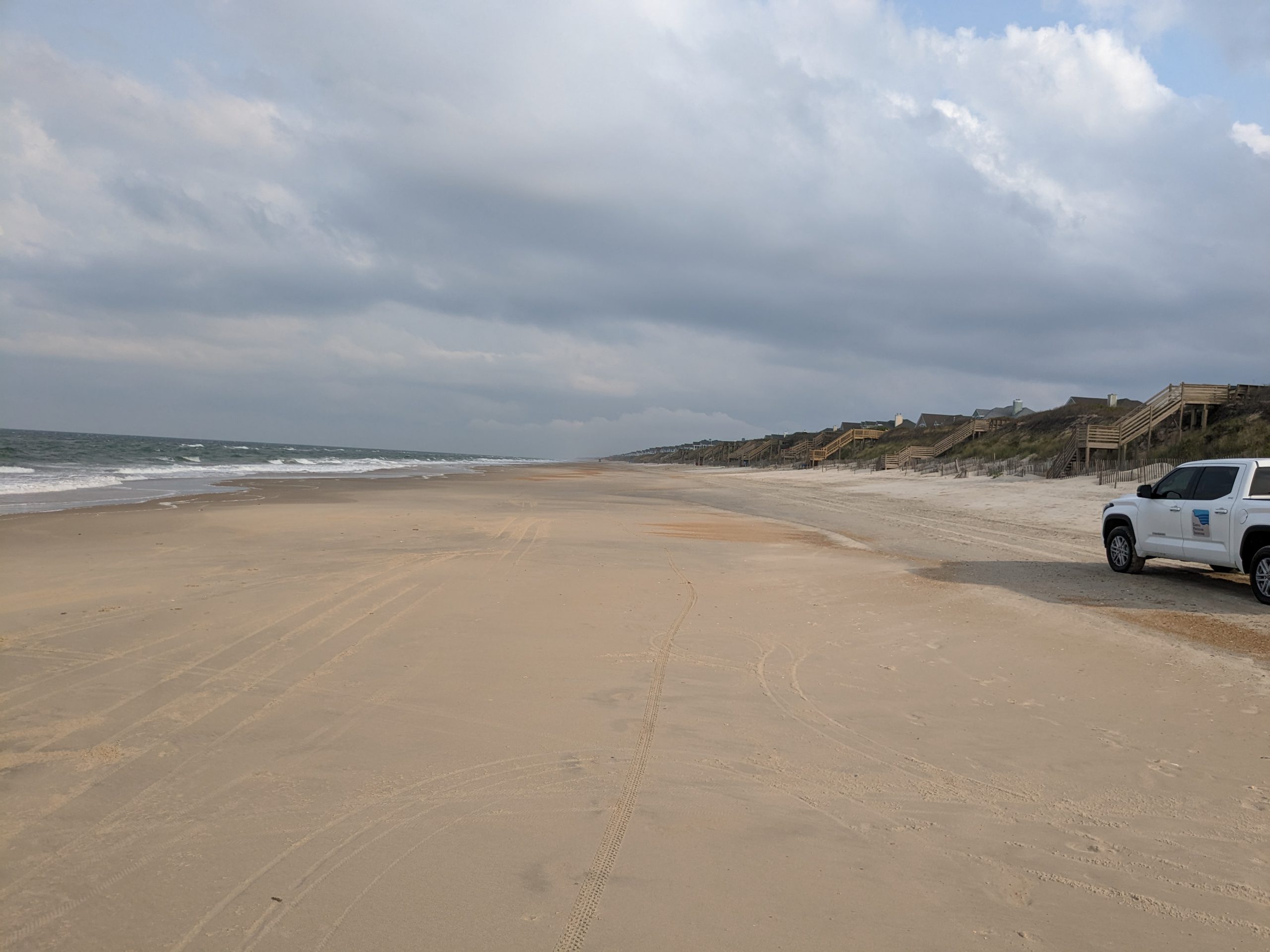
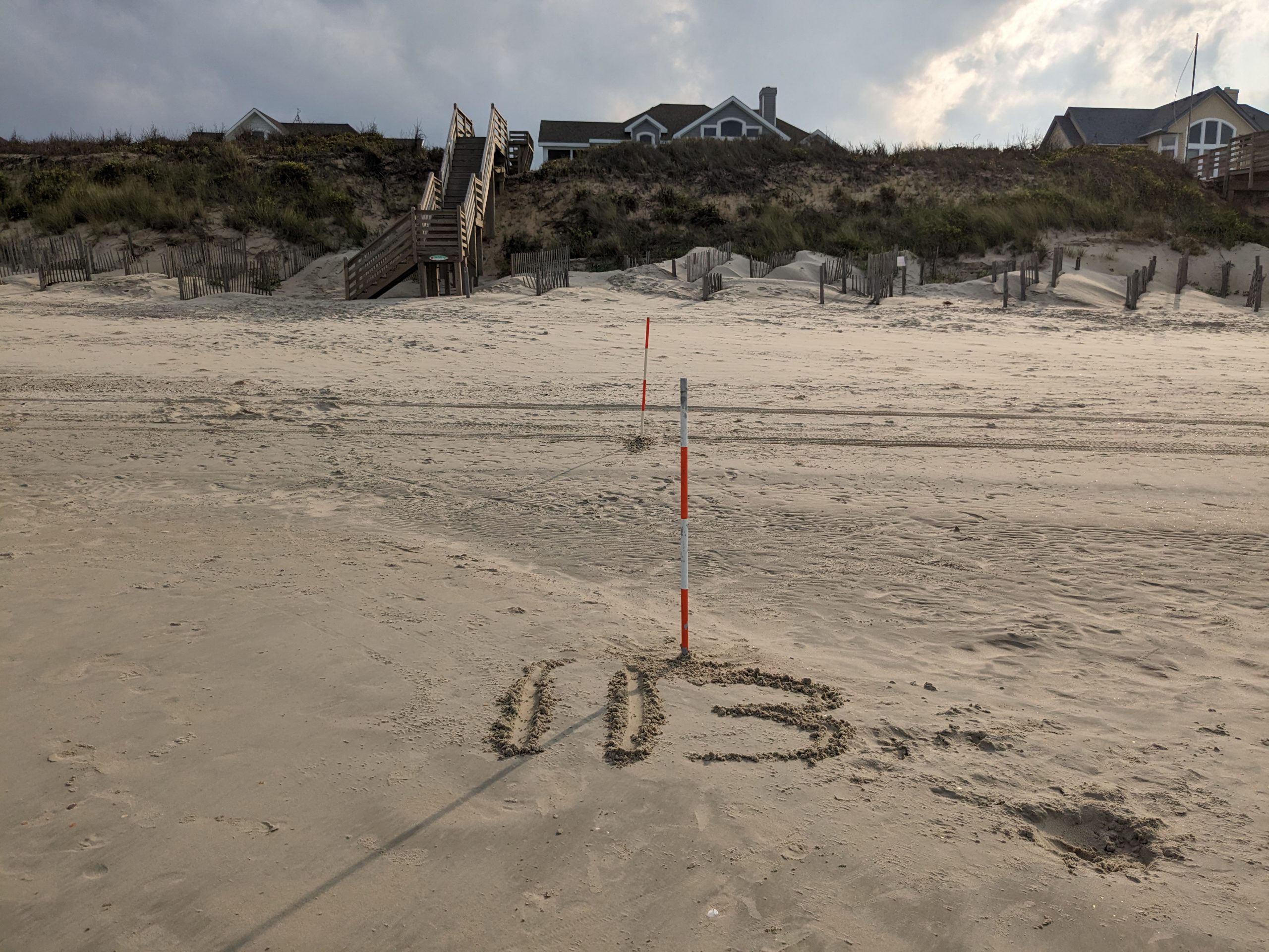
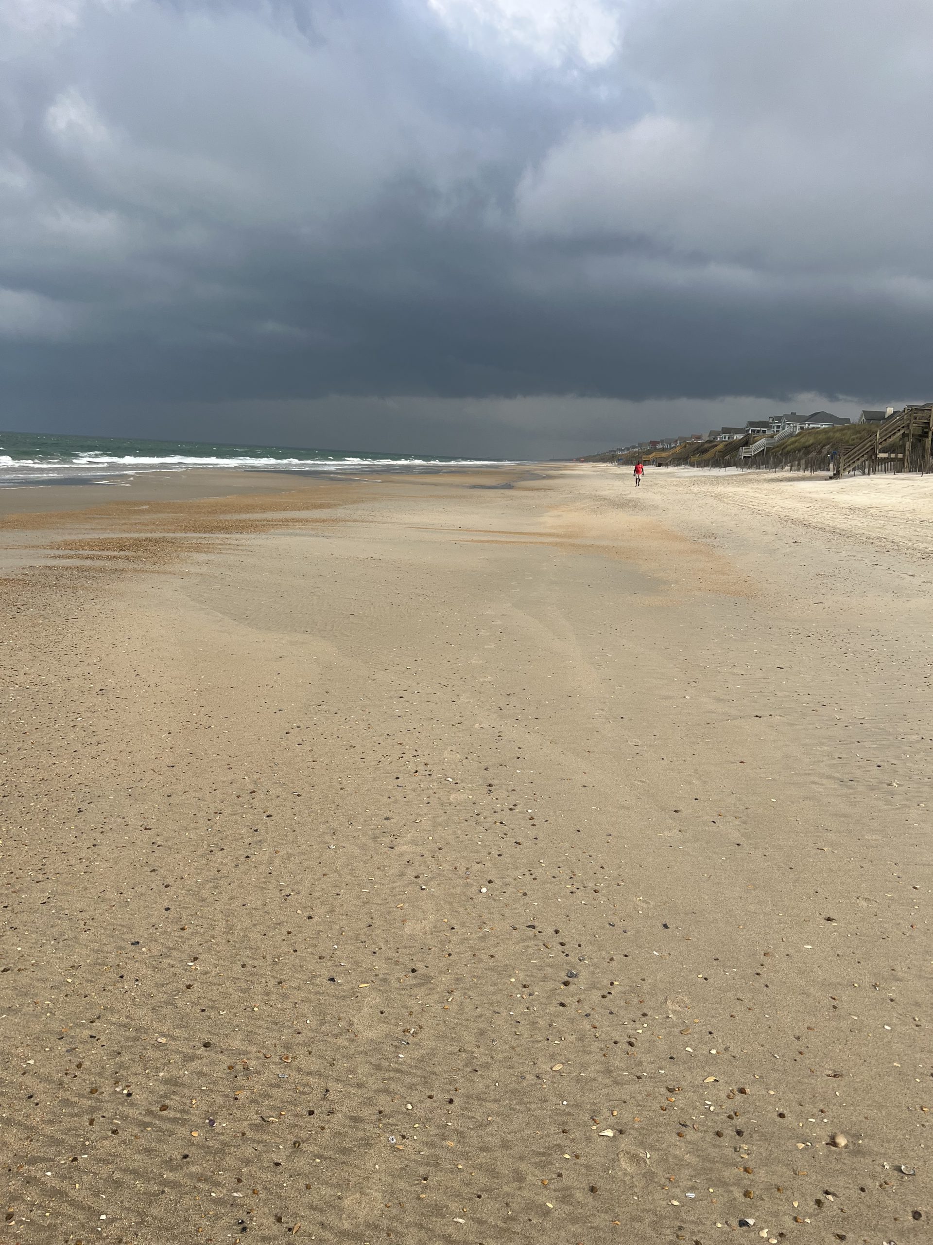
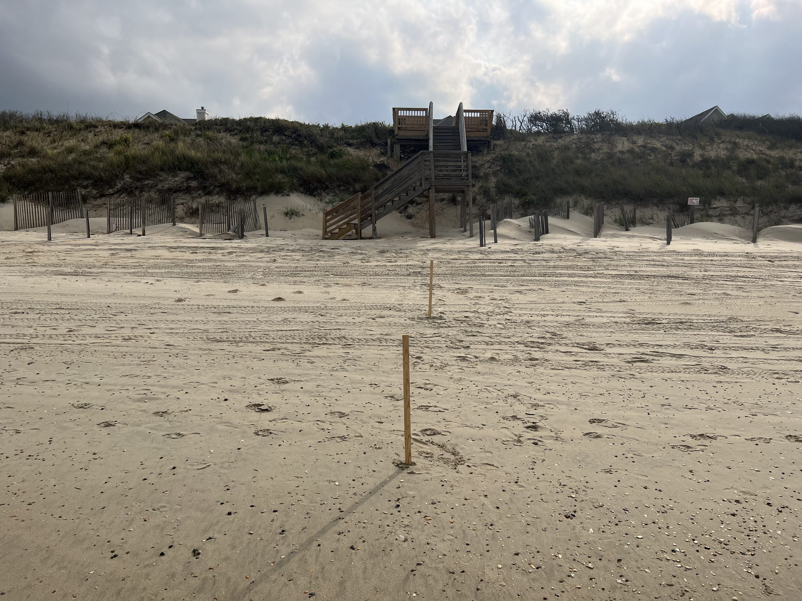
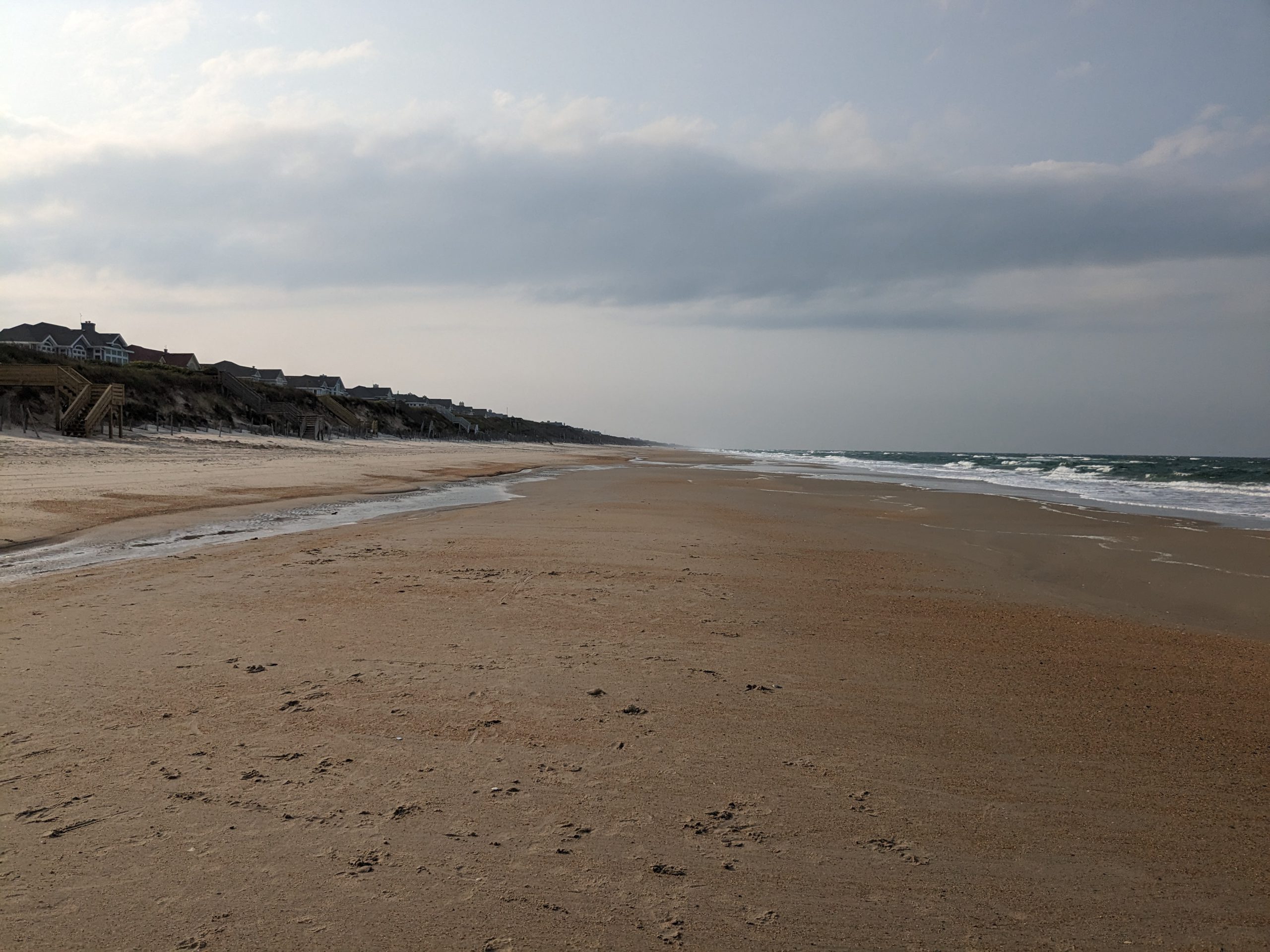
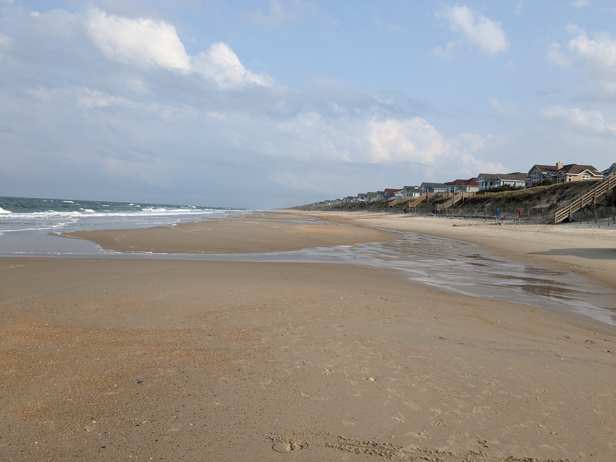
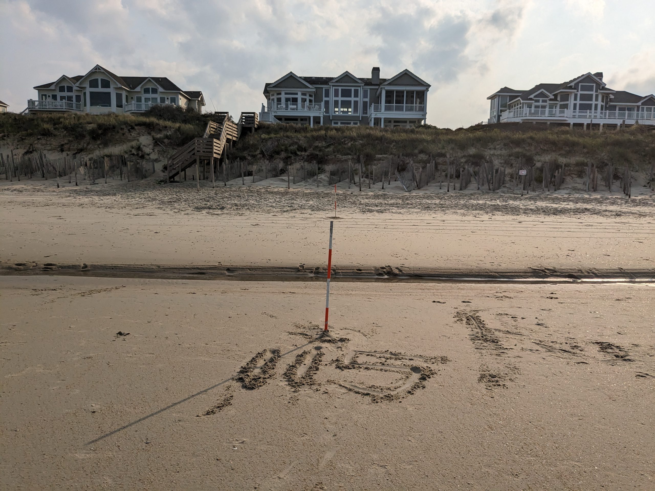
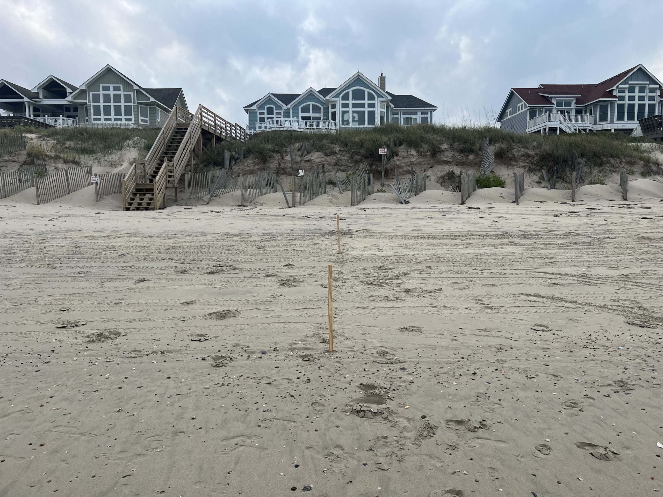
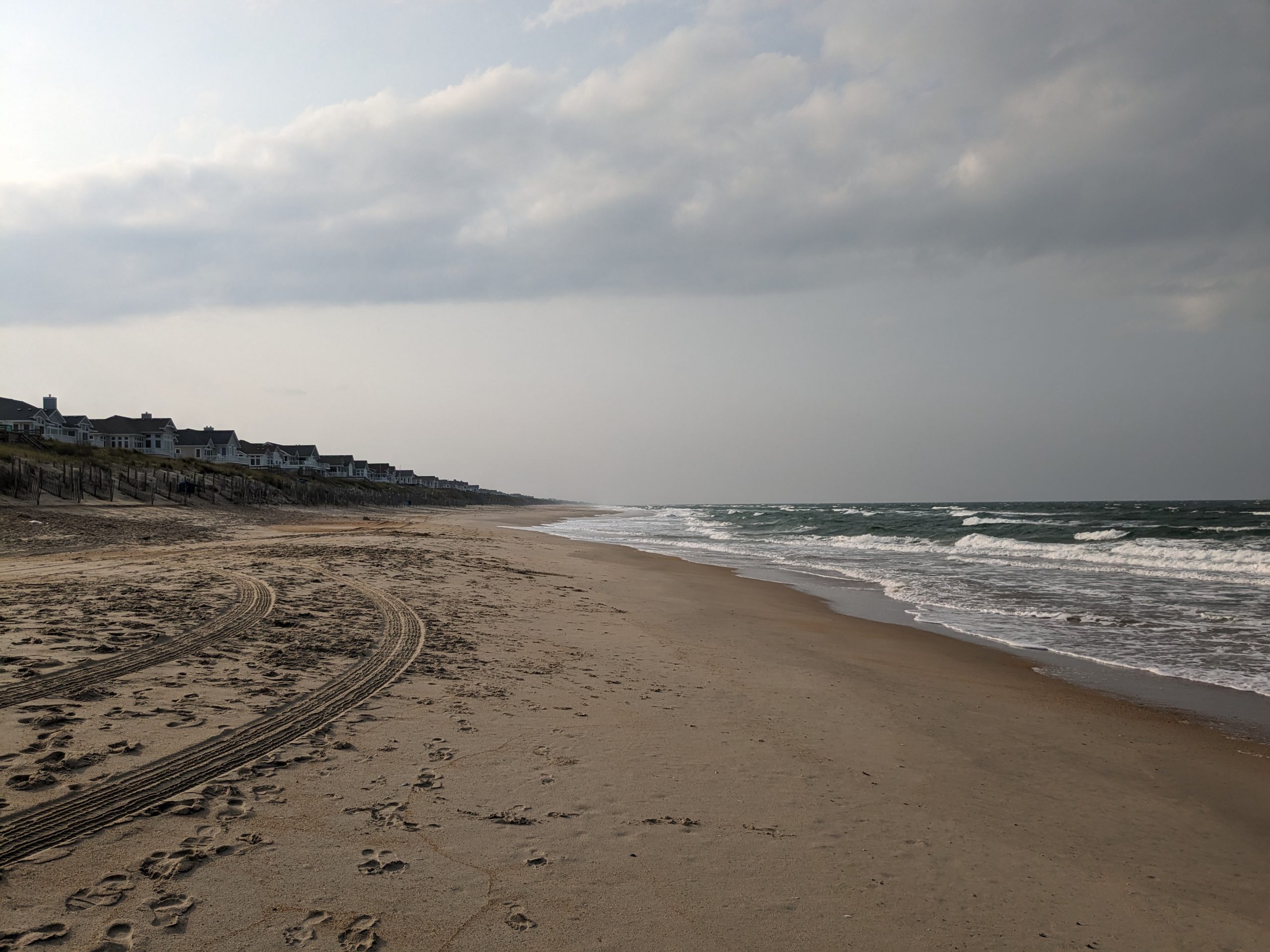
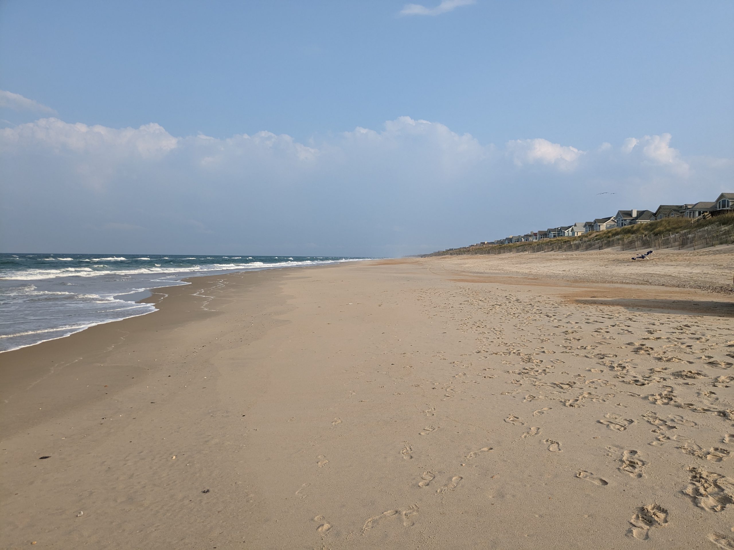
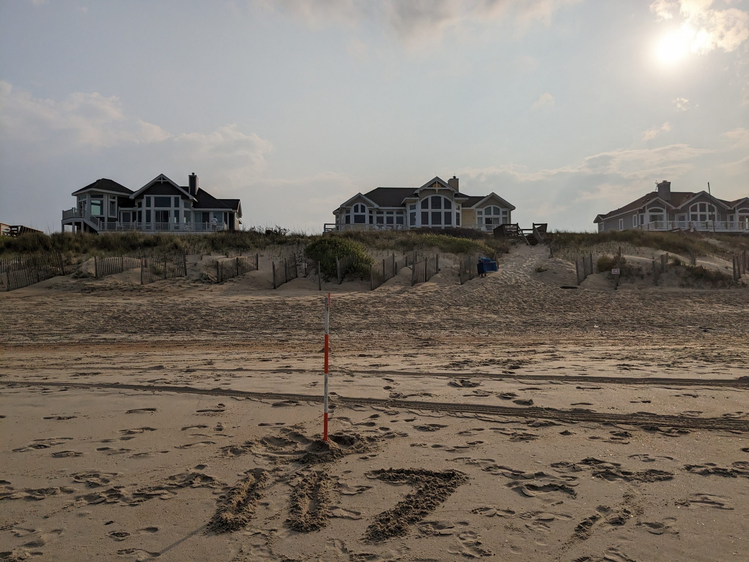
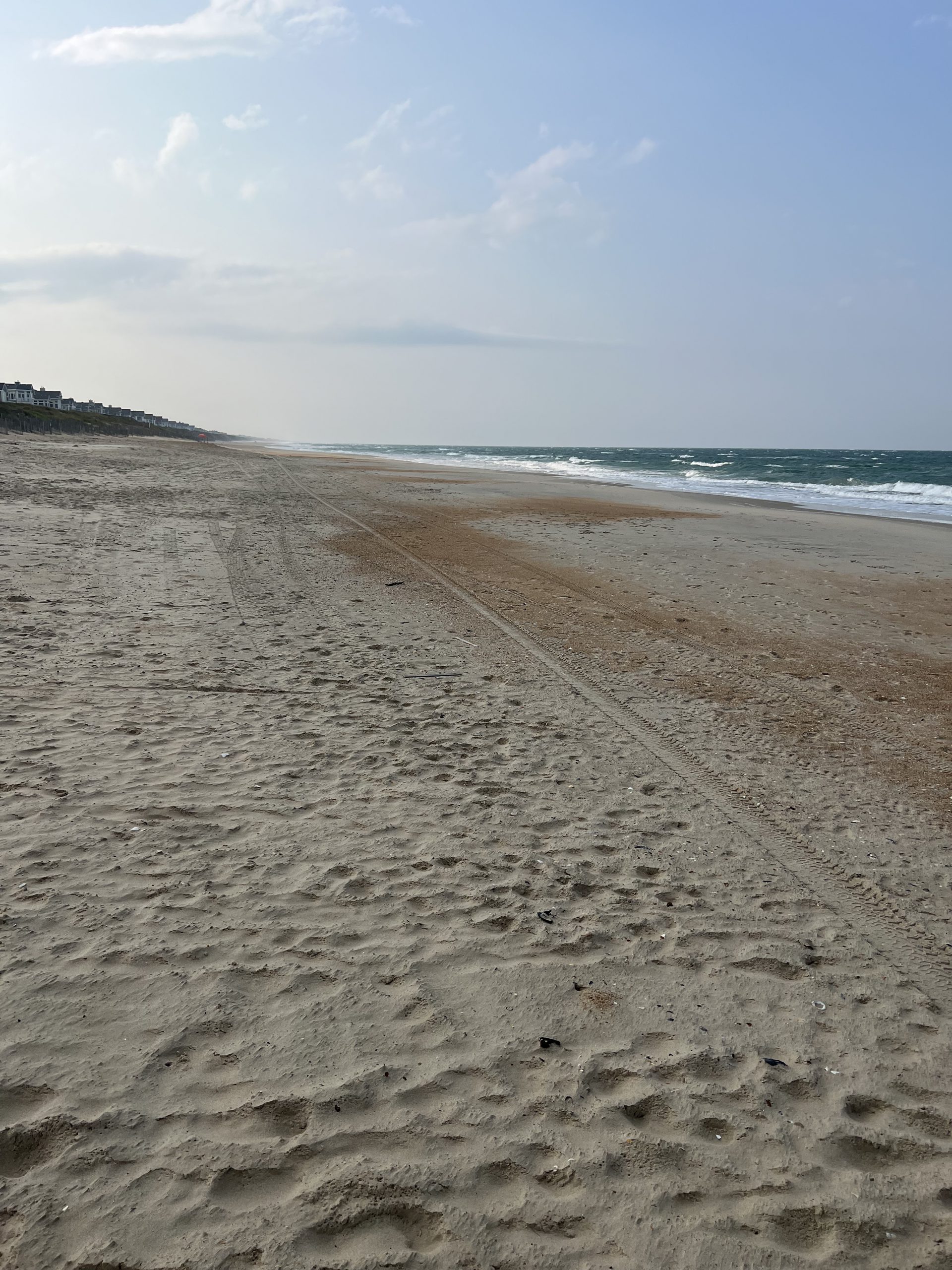
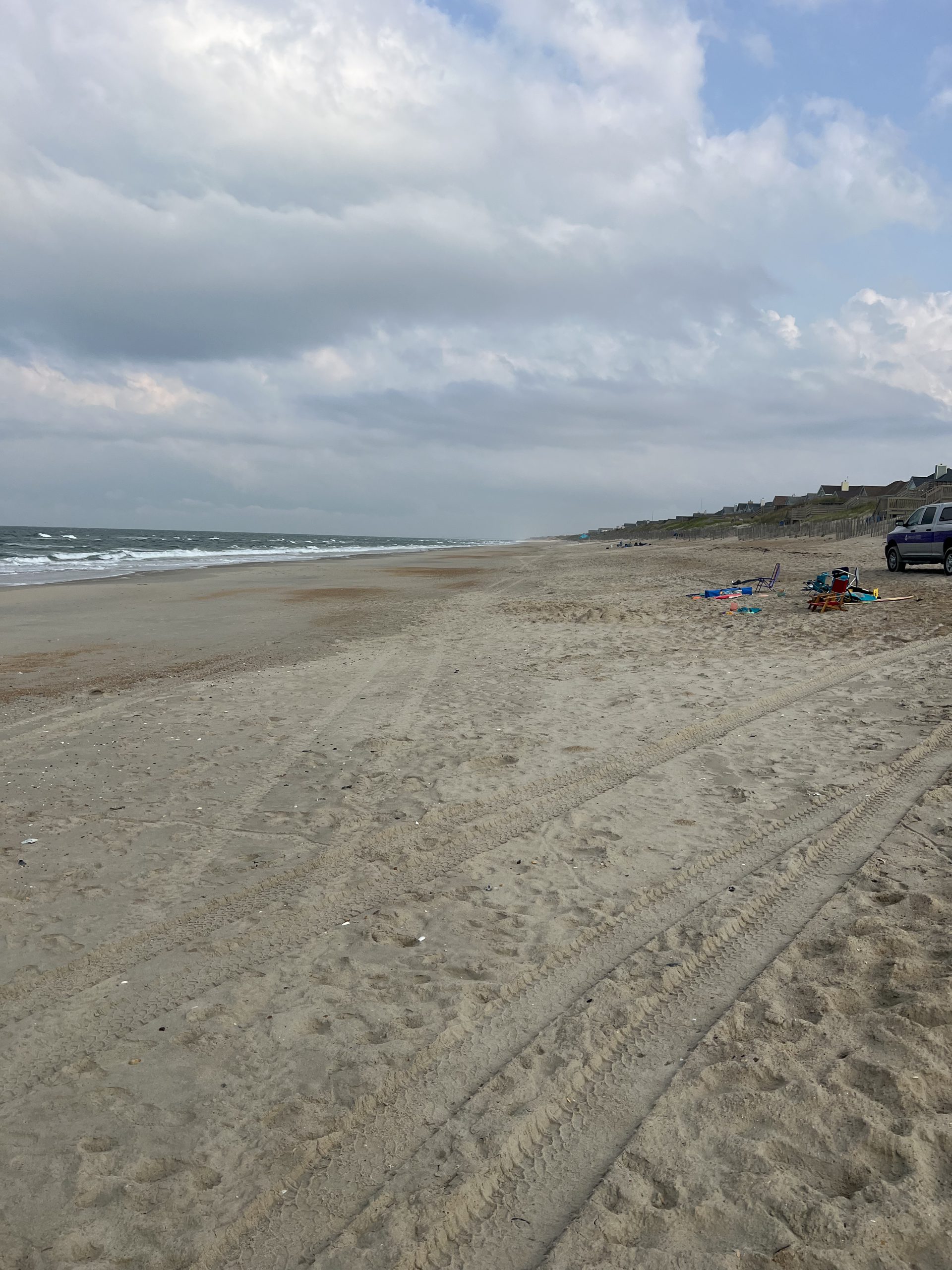
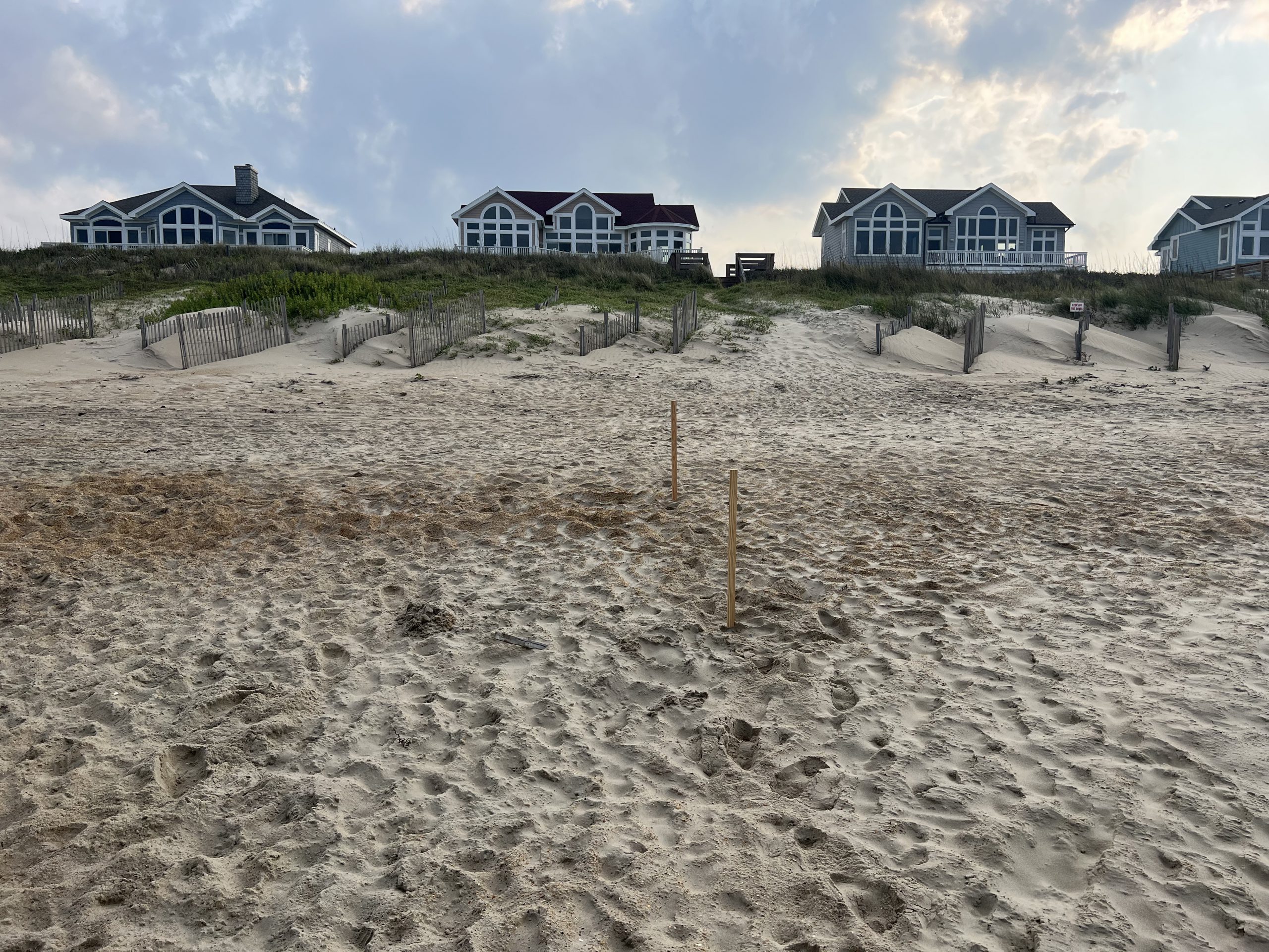
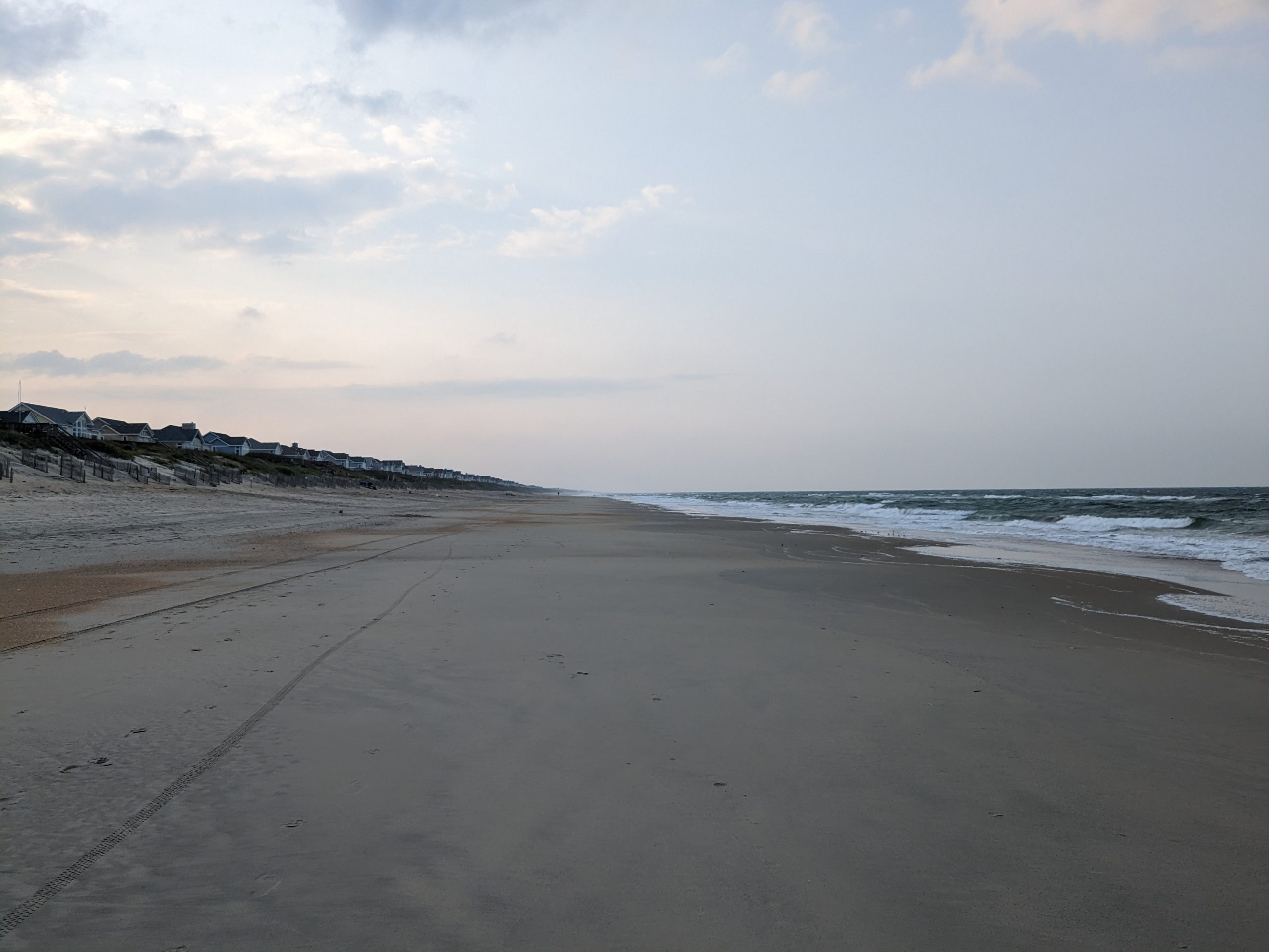
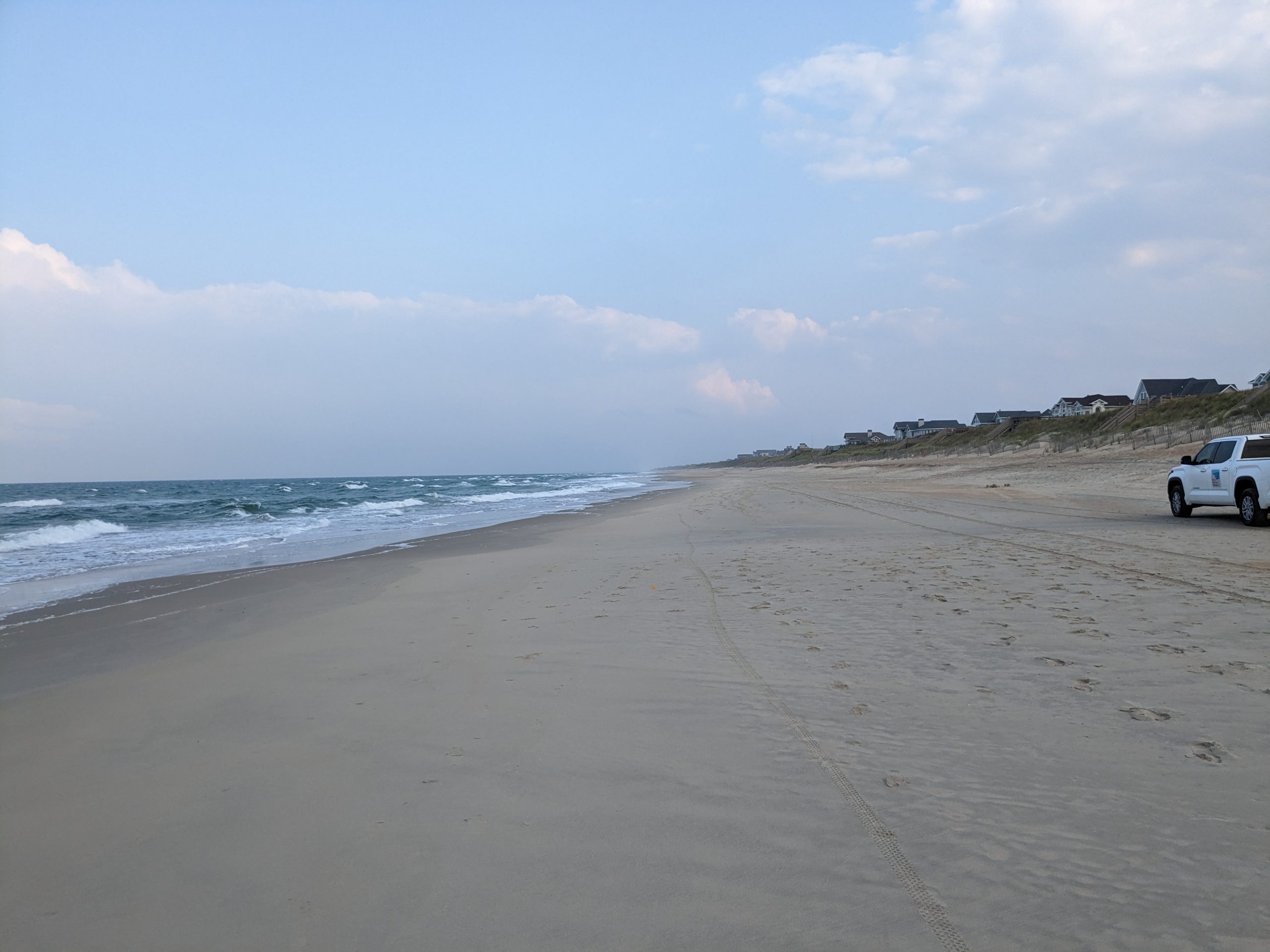
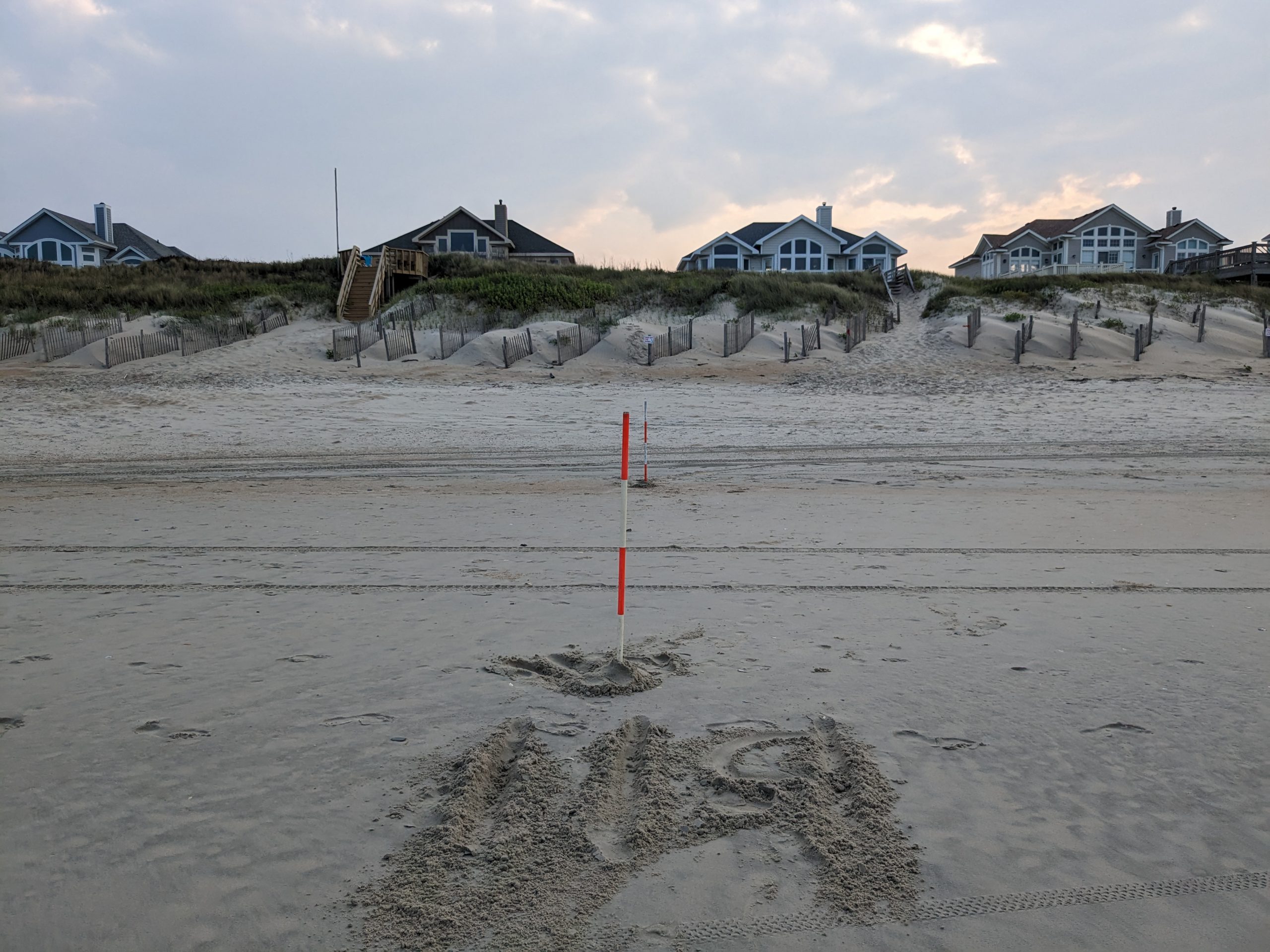
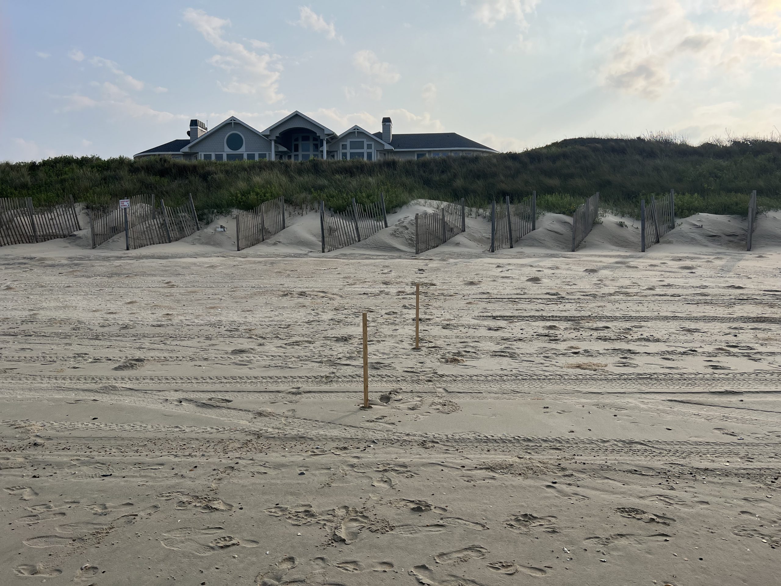
Currituck County’s shoreline stability study began on March 2020 and consists of monitoring and assessing the County’s entire 22.6 miles of beach for a three-year period.
The goals for this study is to:
- Better understand the changes that are occurring in the beaches
- Assist the County in making informed decisions regarding beach management
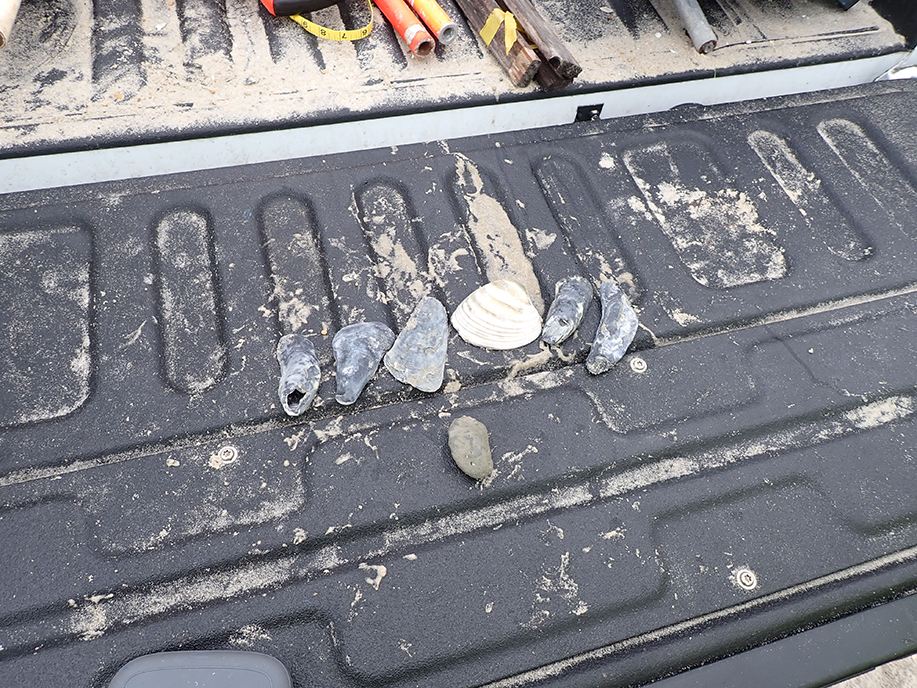
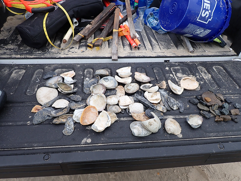
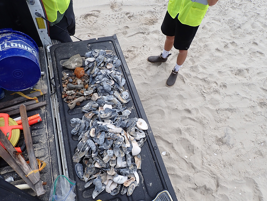
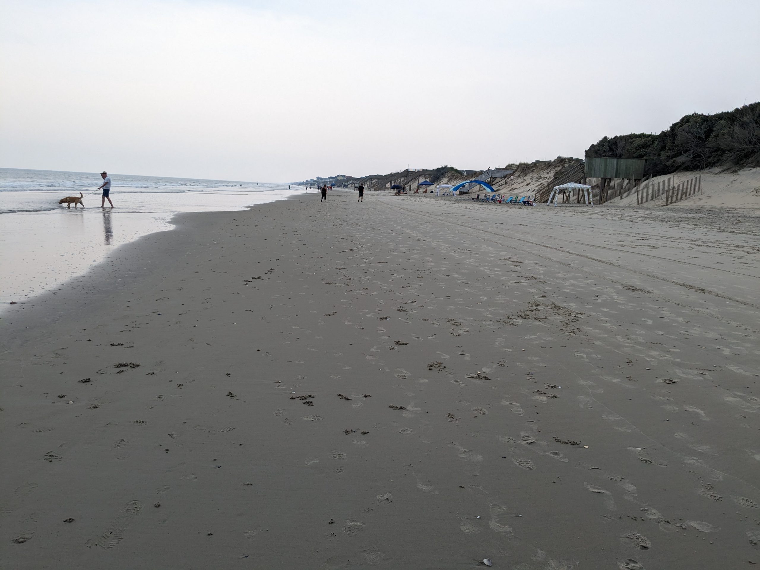
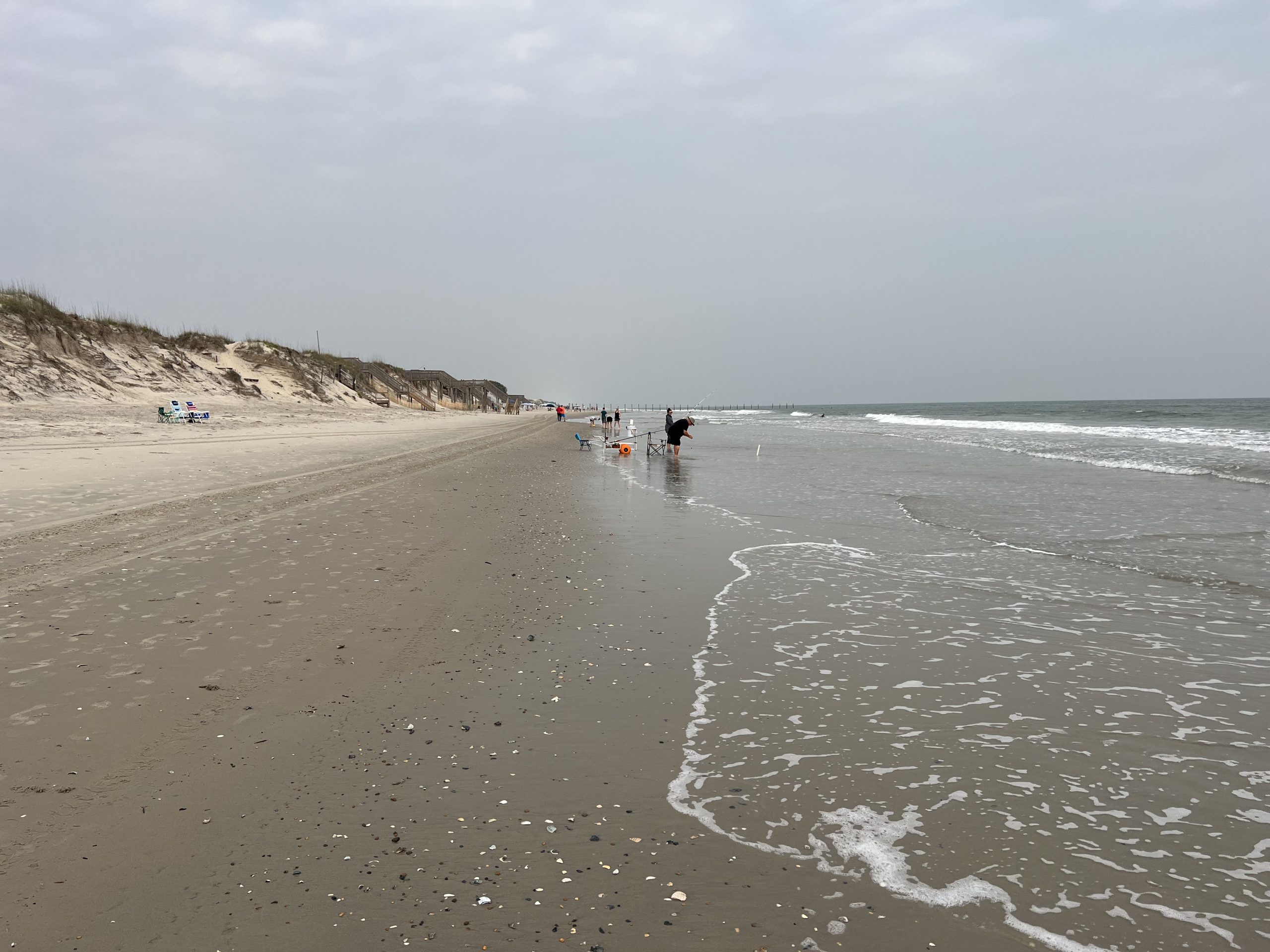
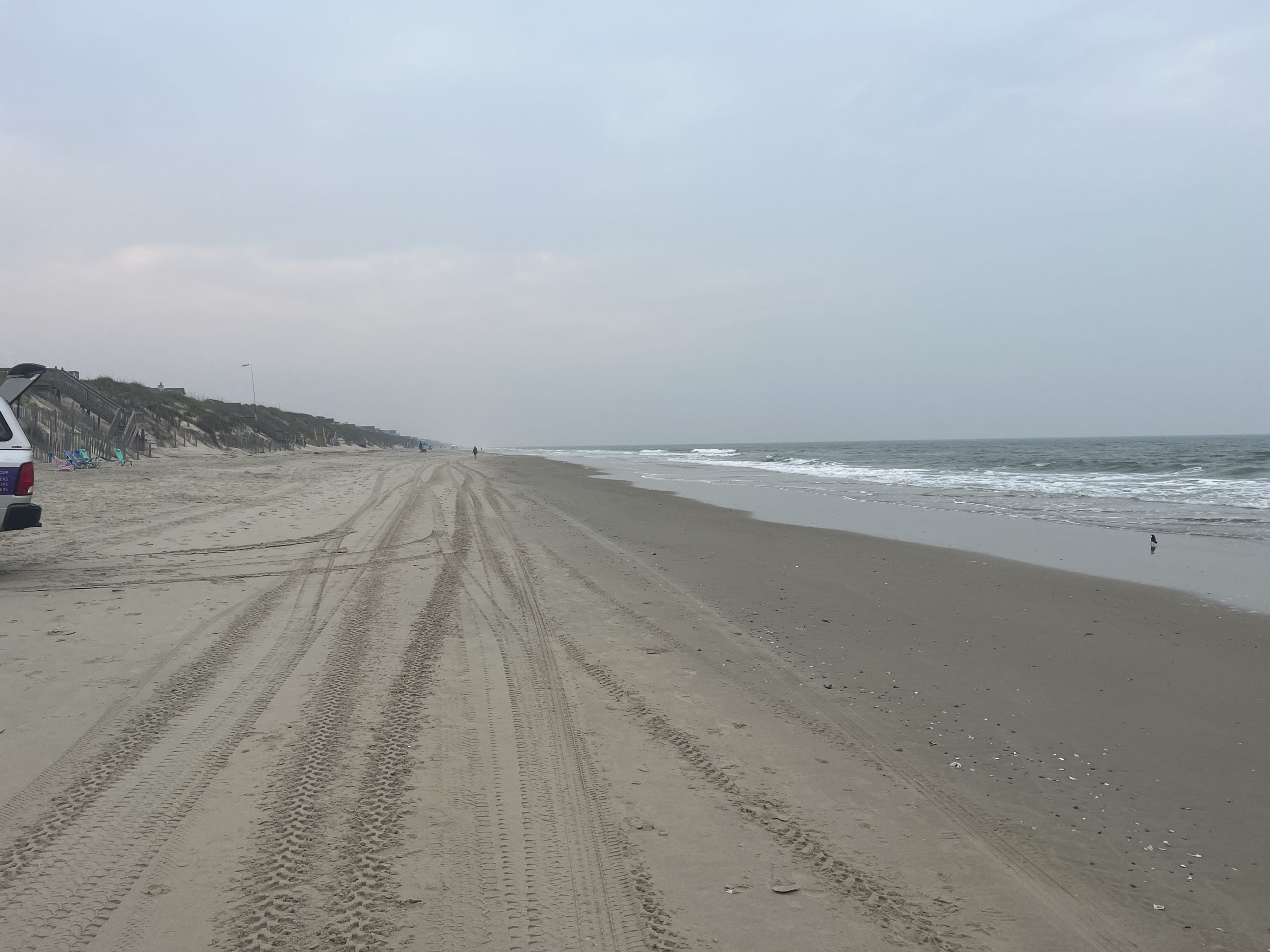
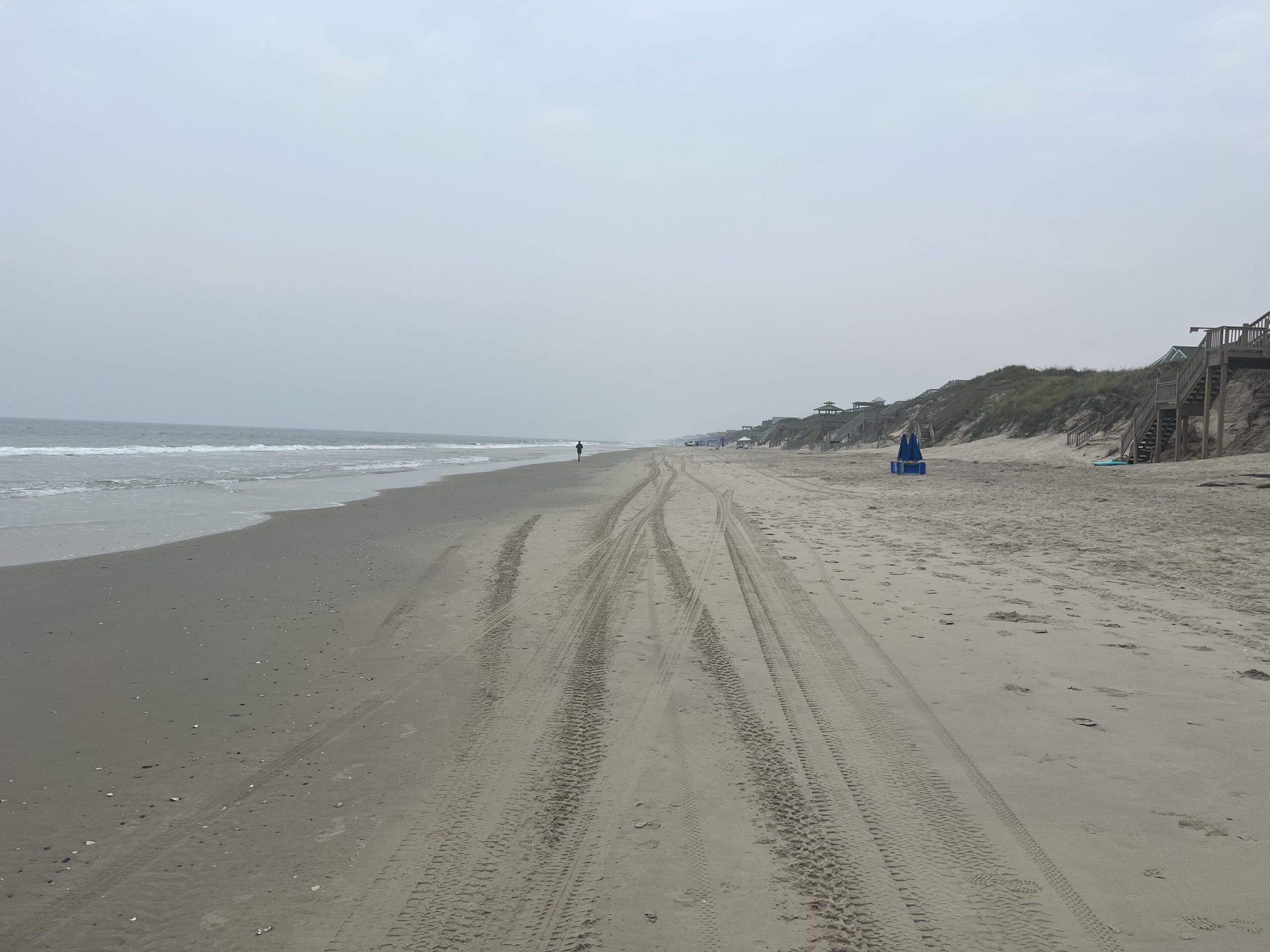
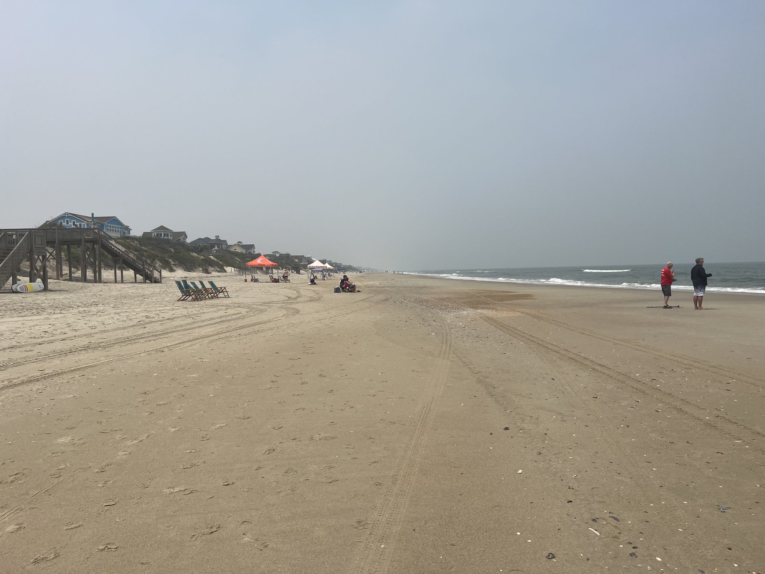
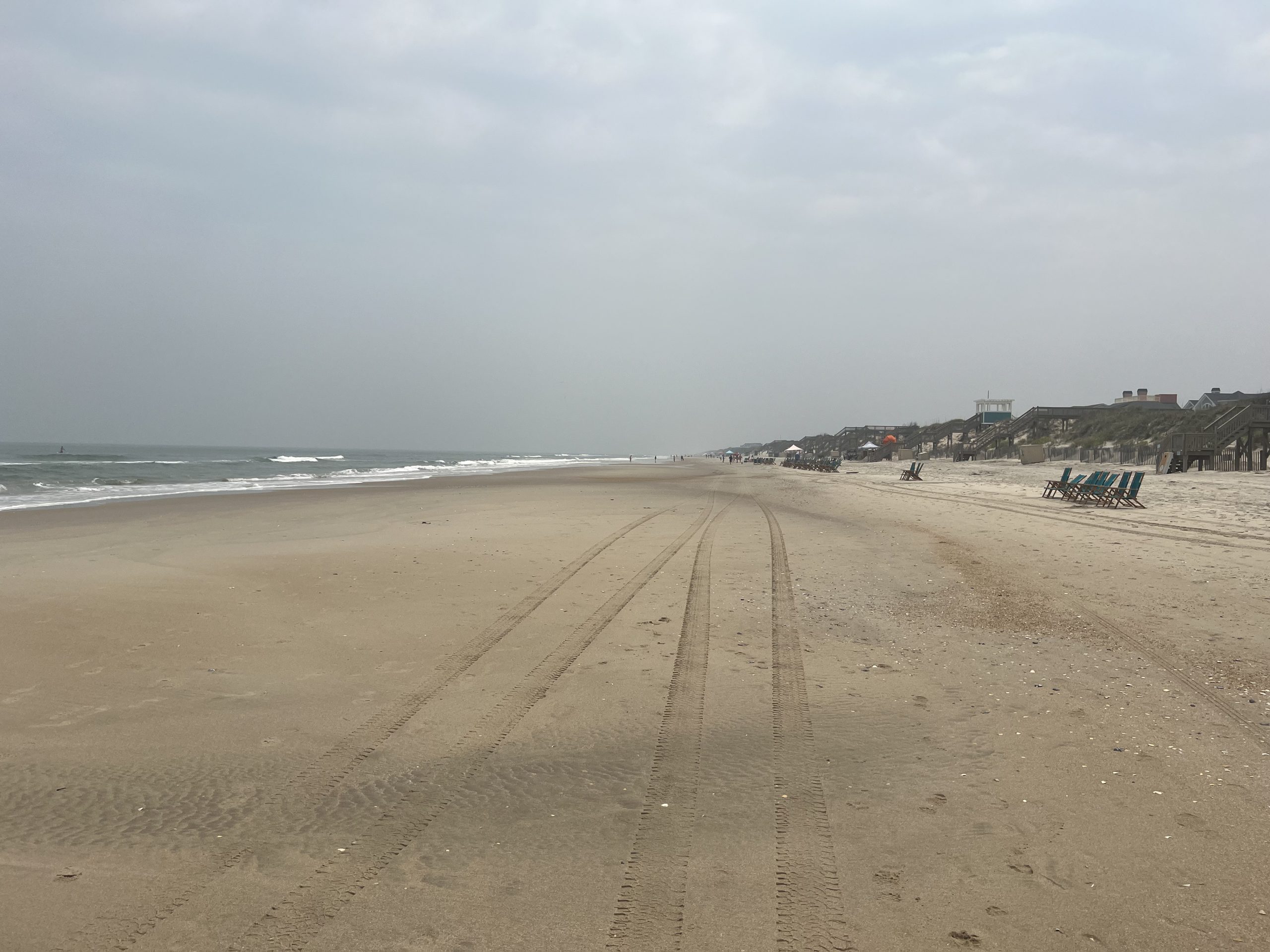
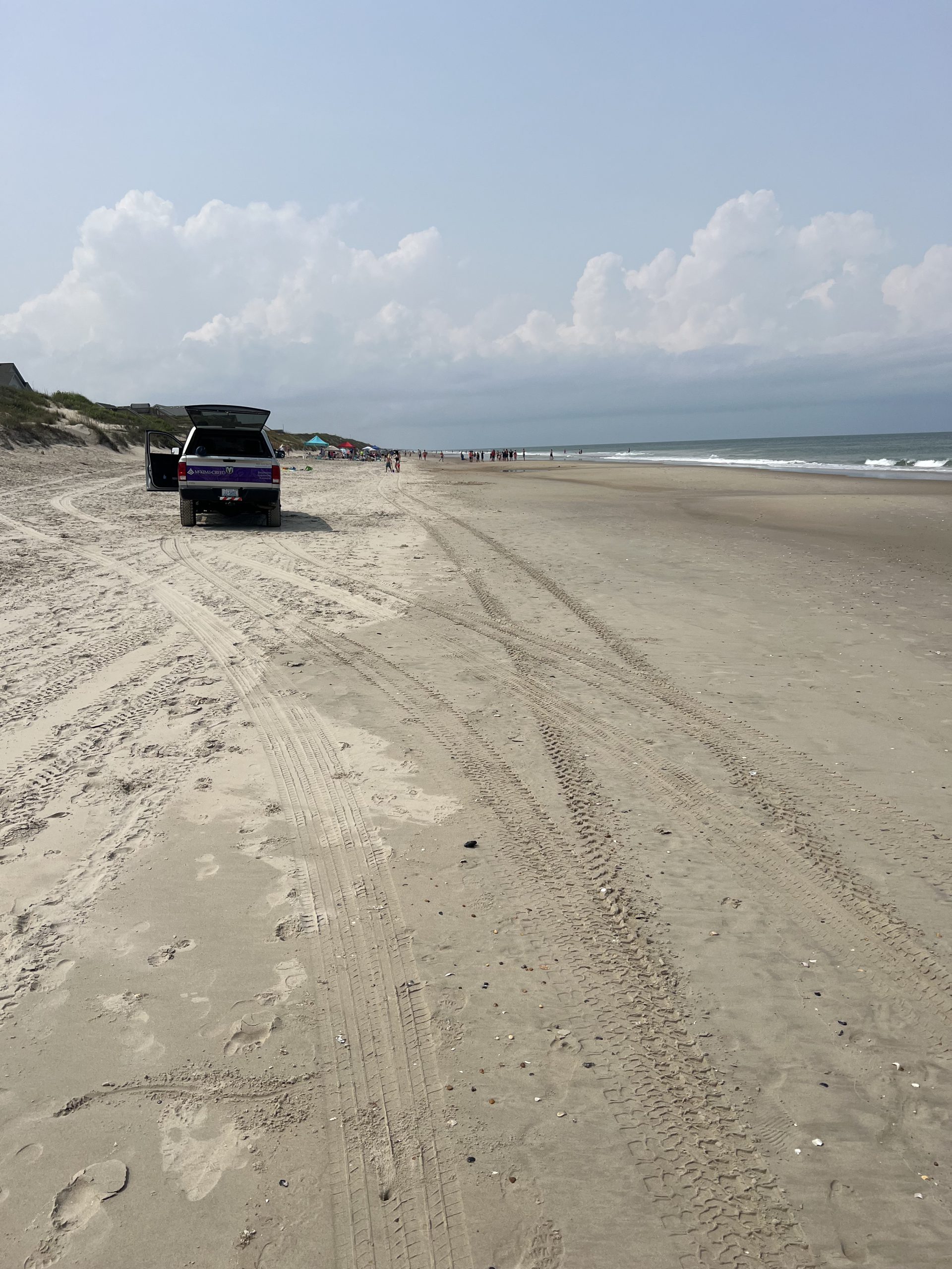
Beach monitoring service occurred each year in the Spring.
Tasks associated with this include:
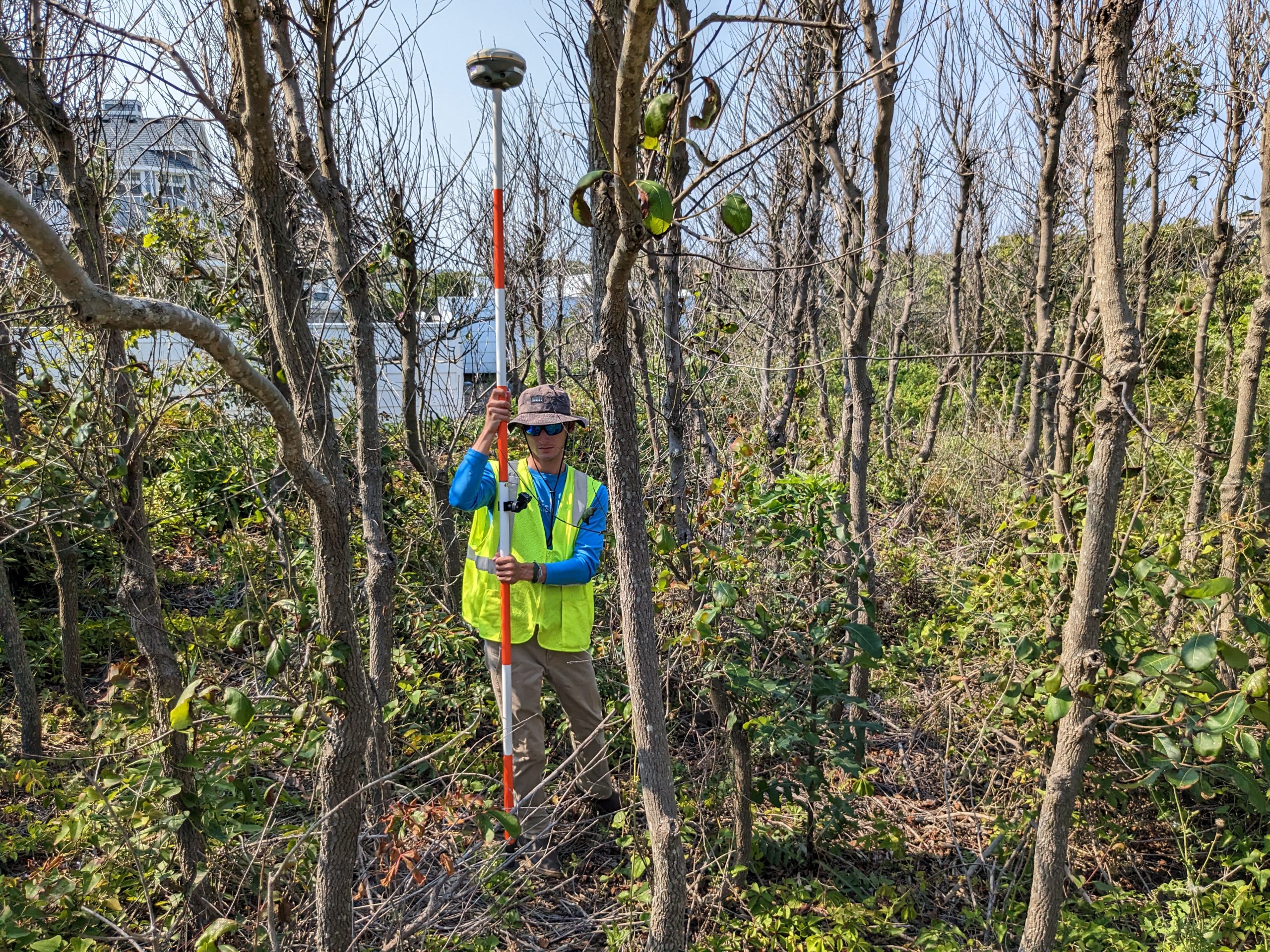
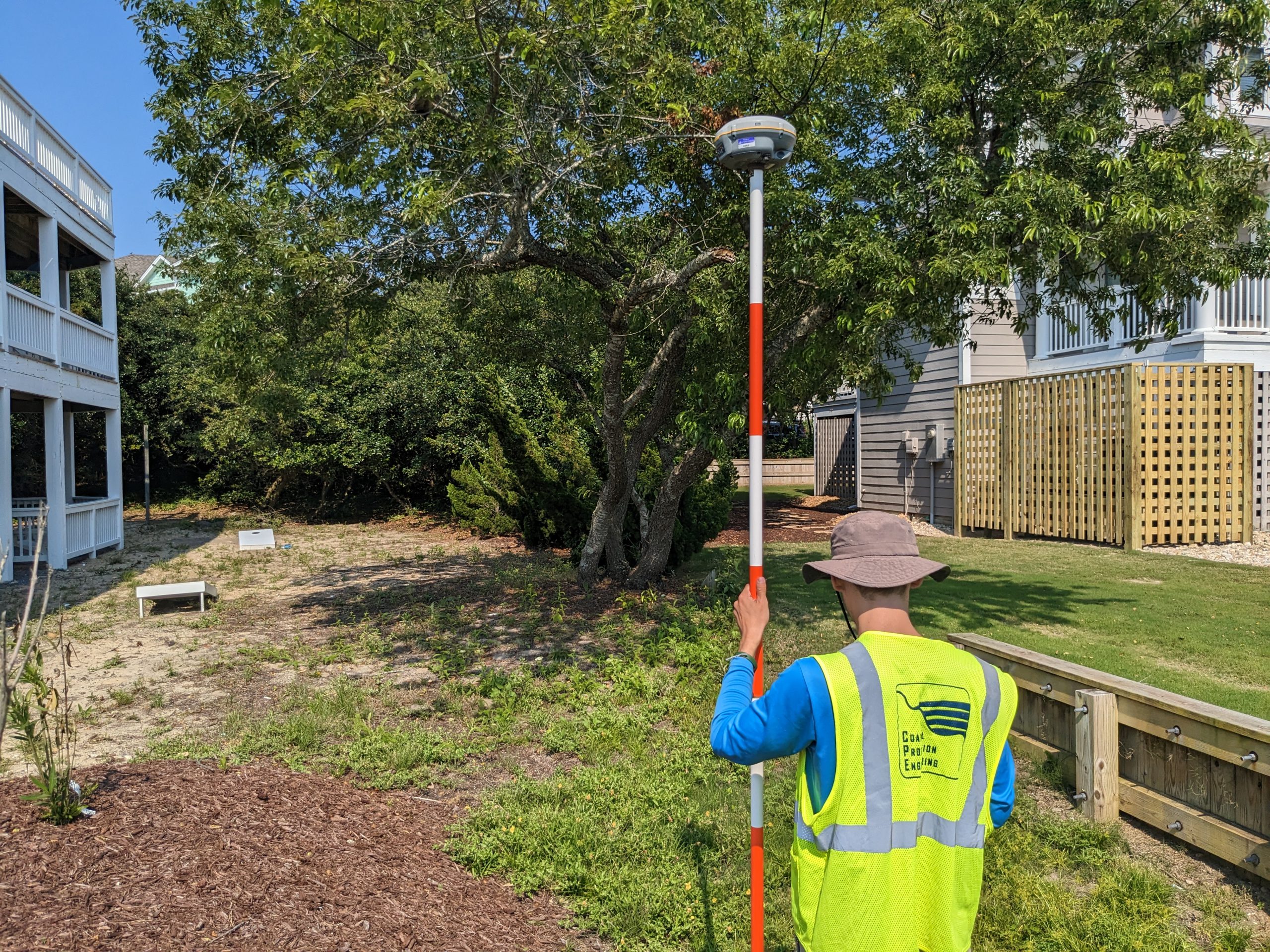
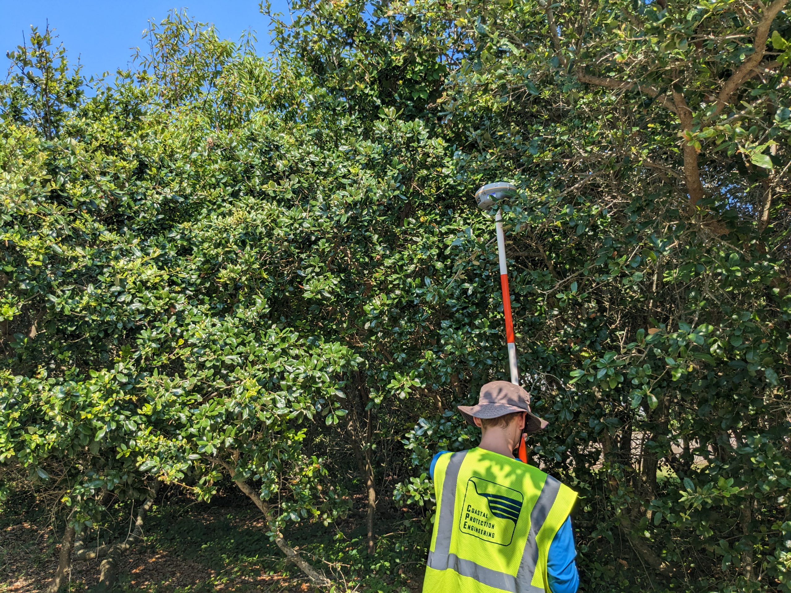
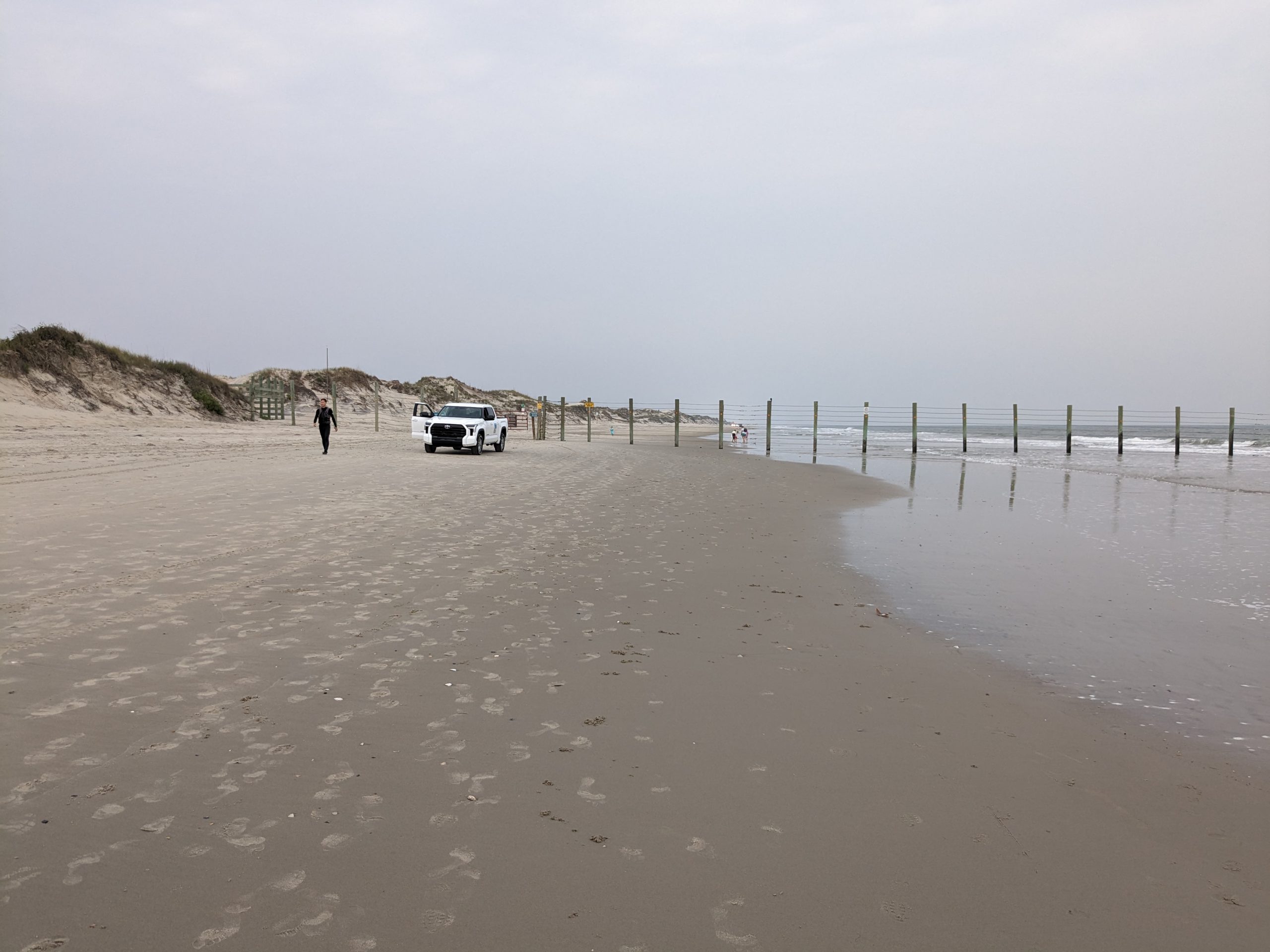
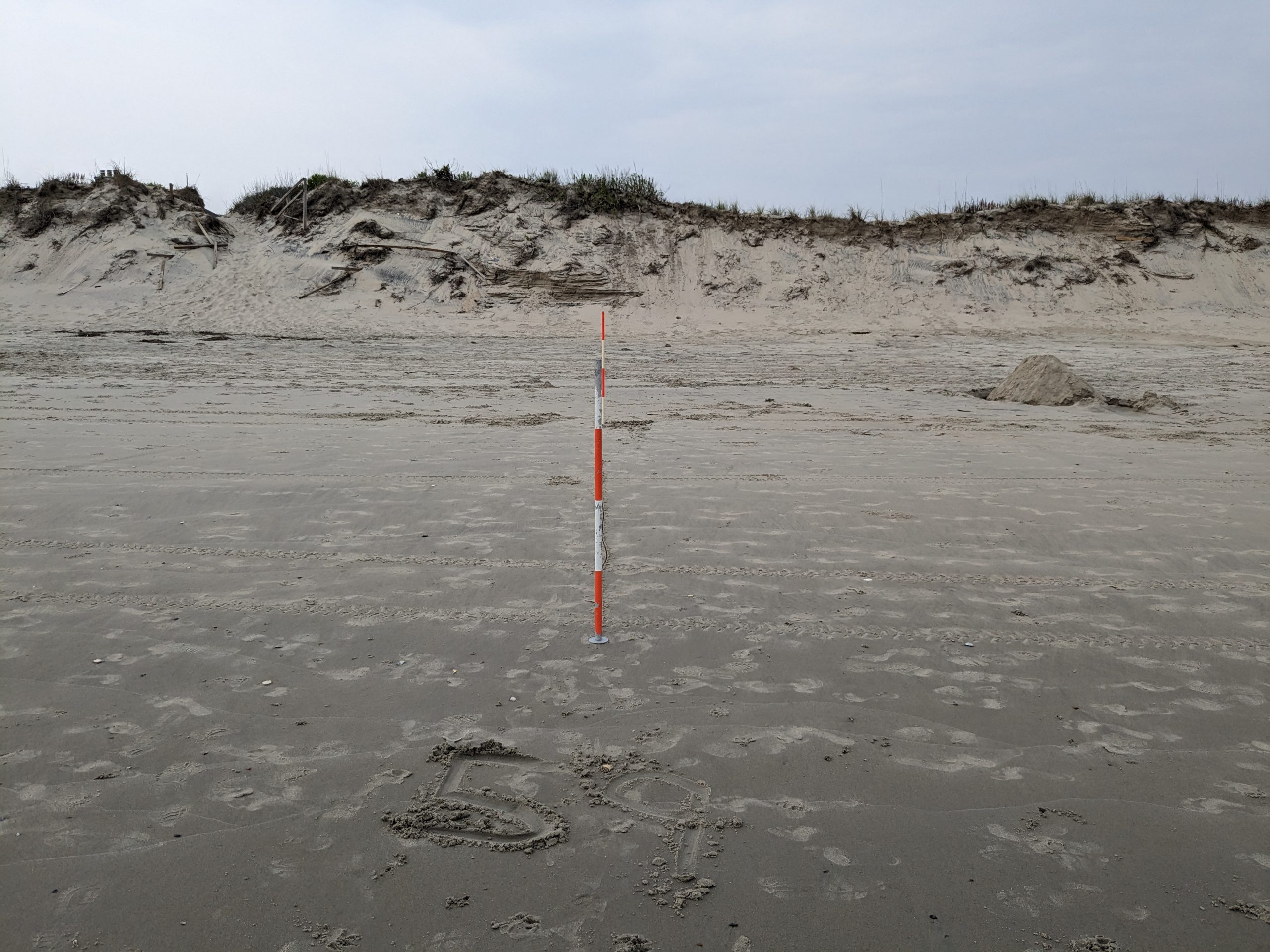
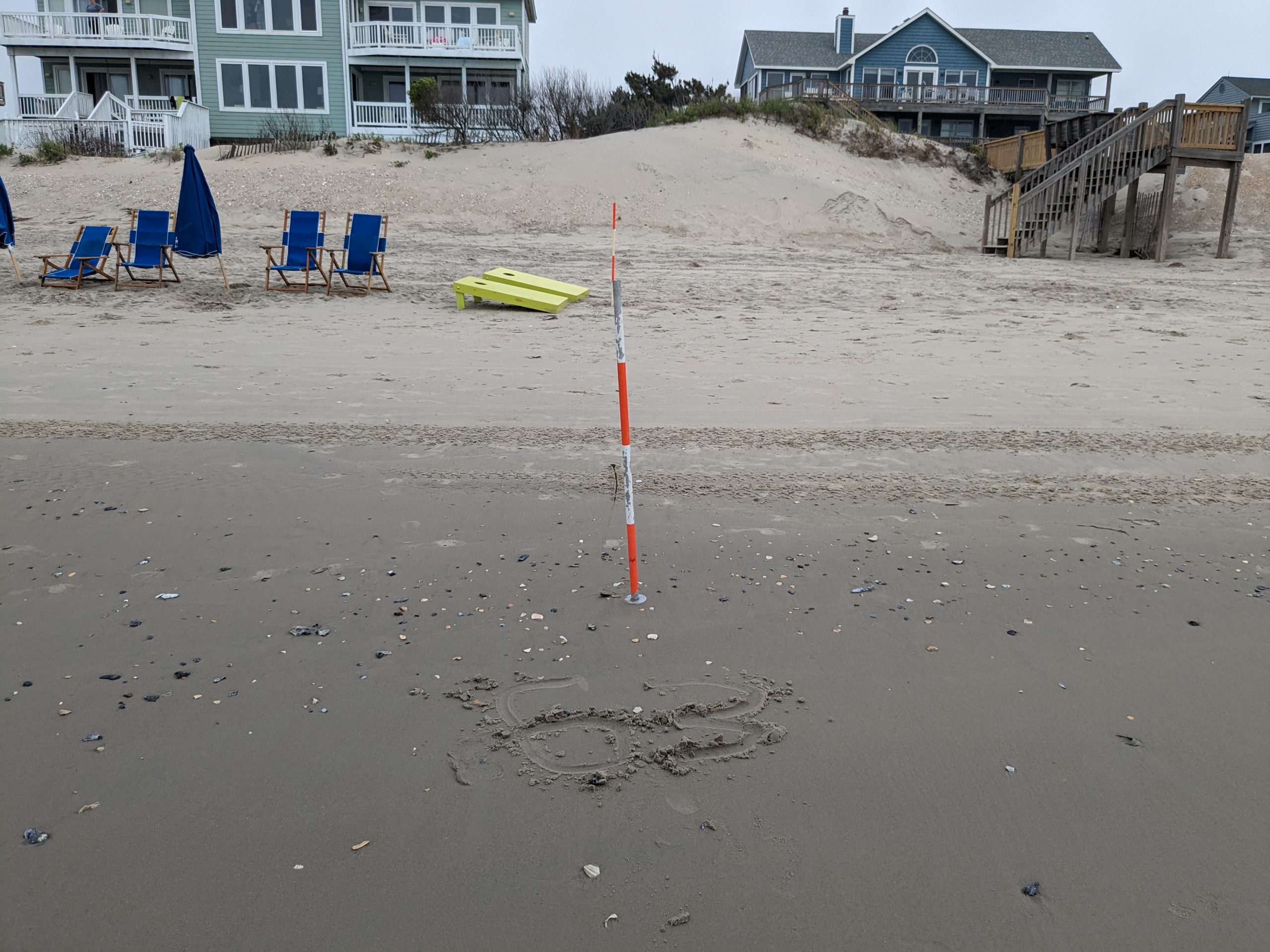
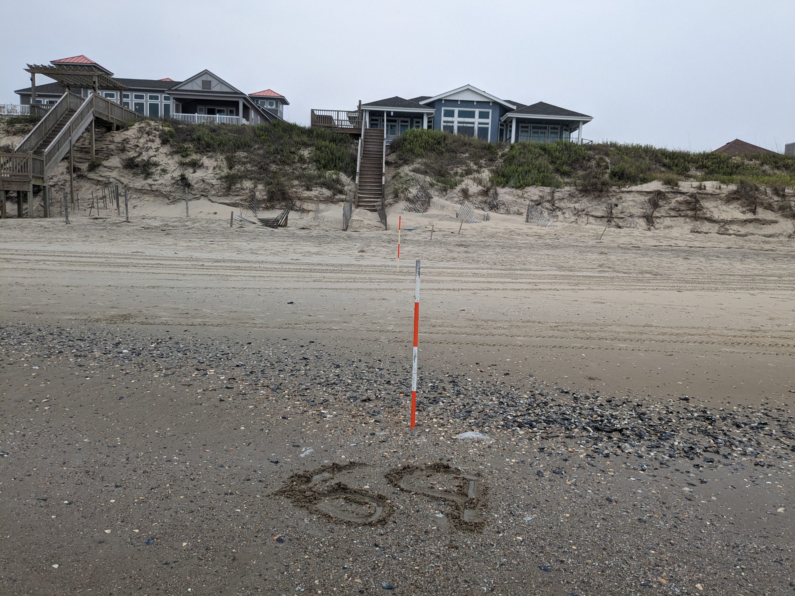
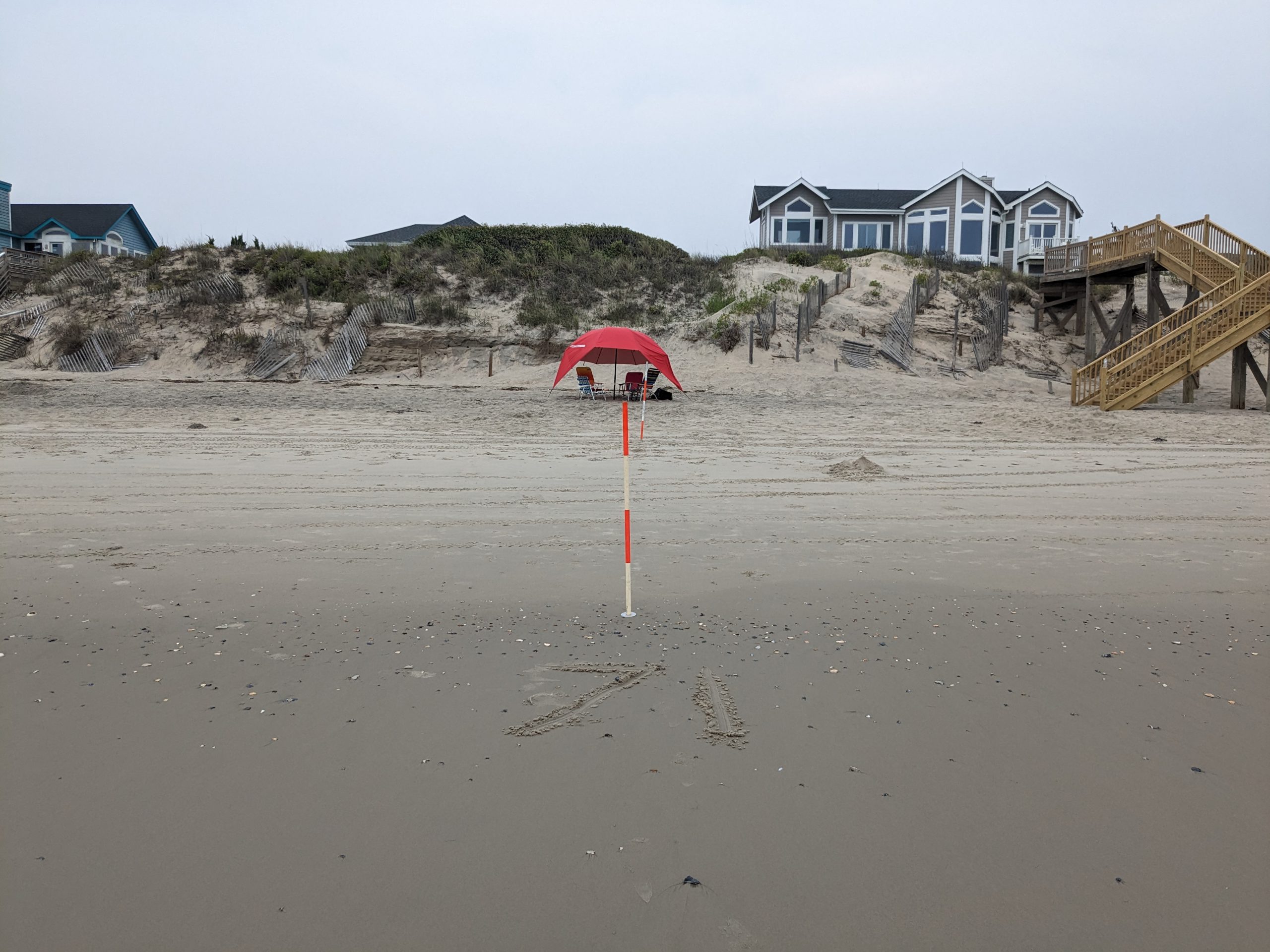
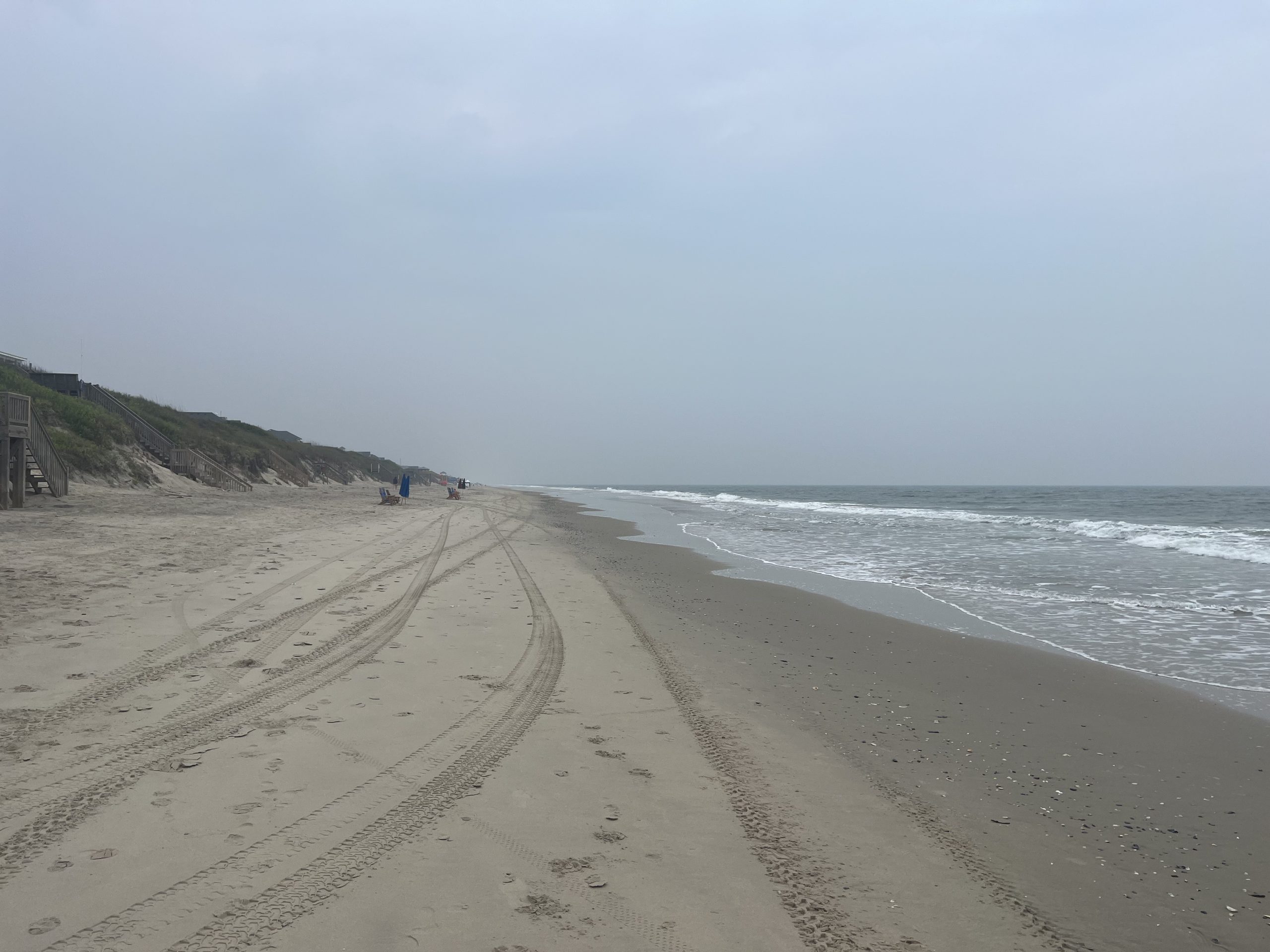
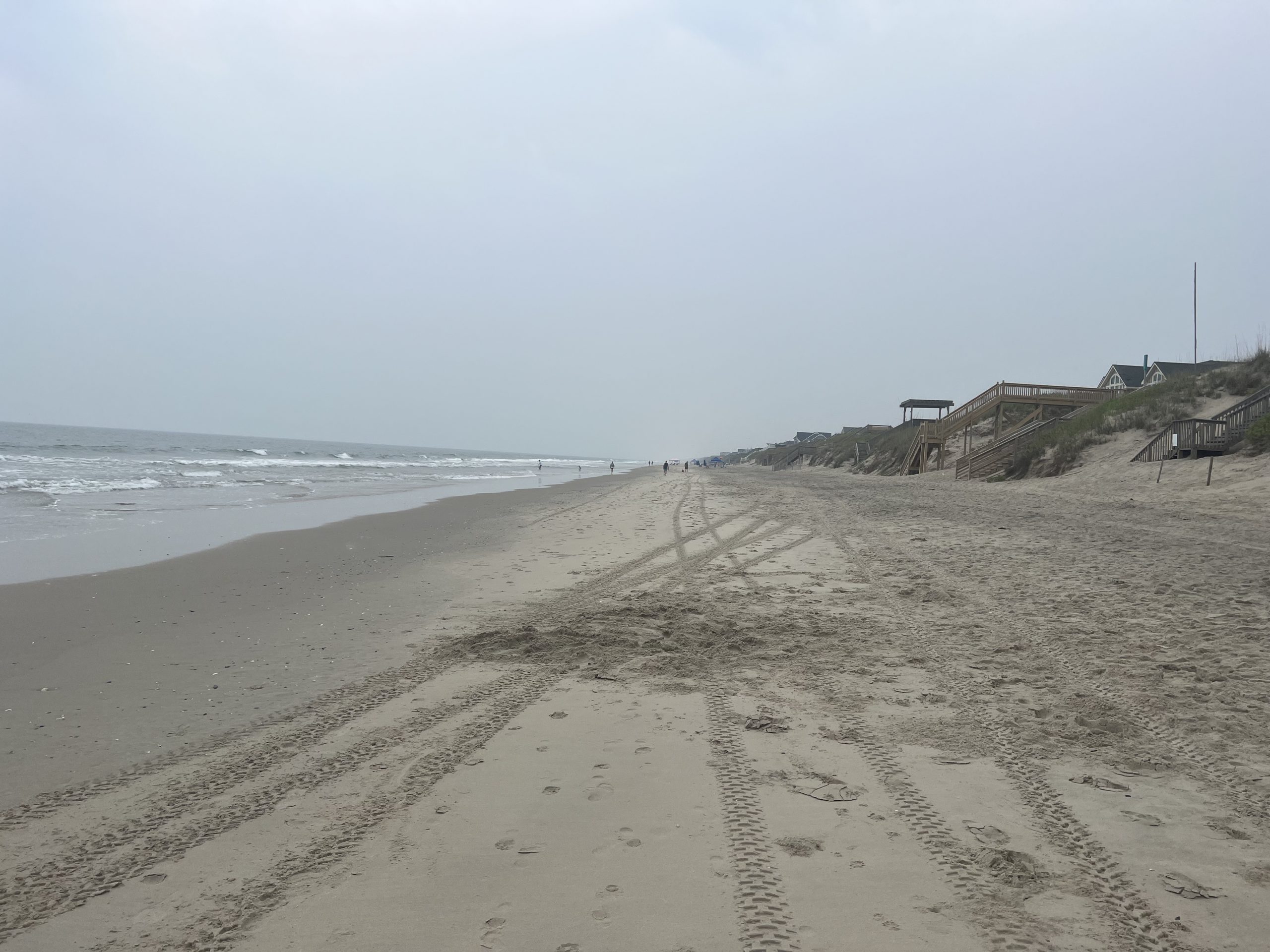
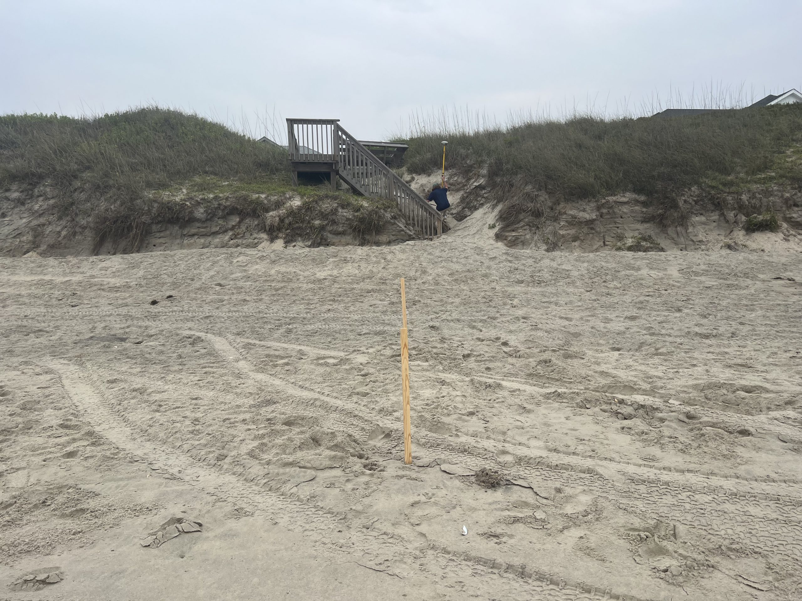
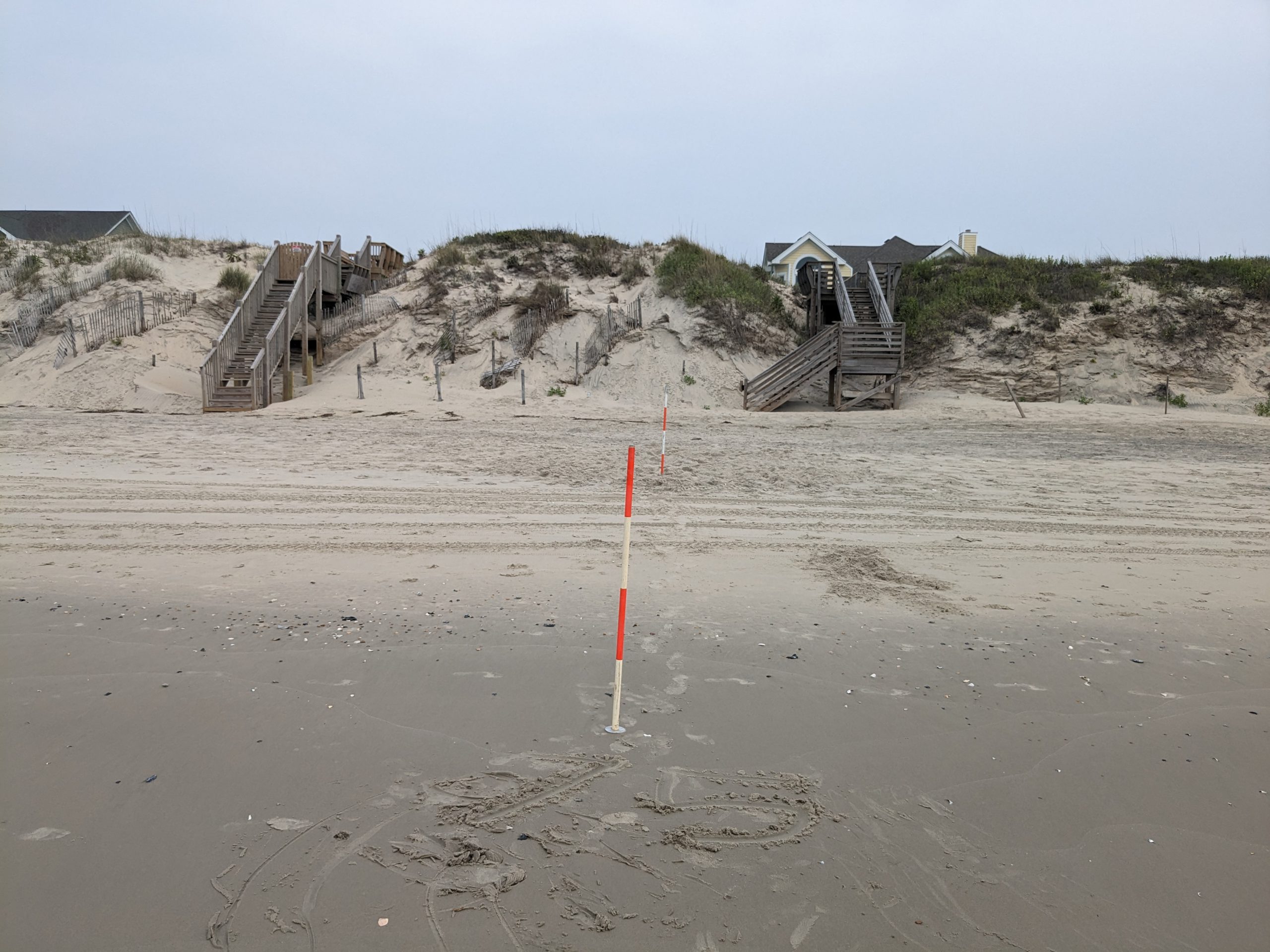
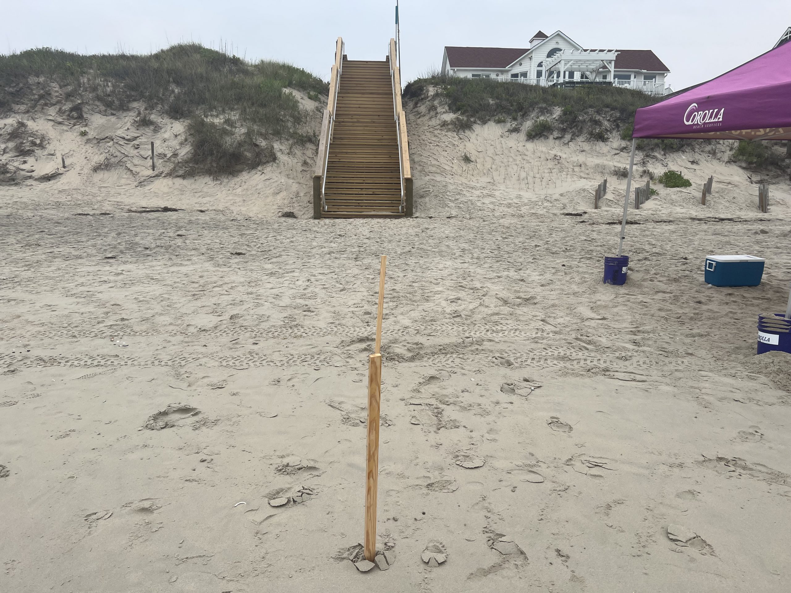
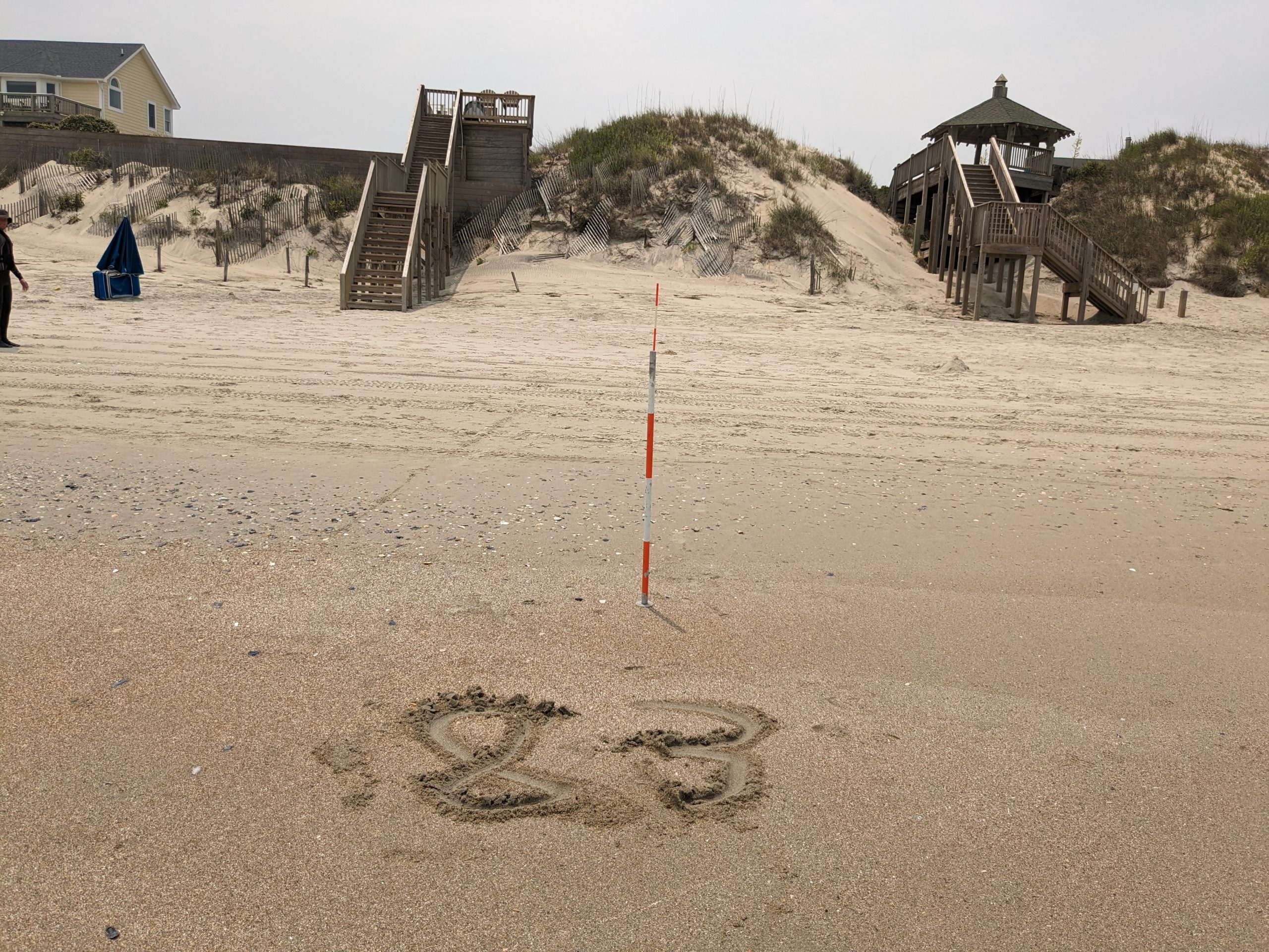
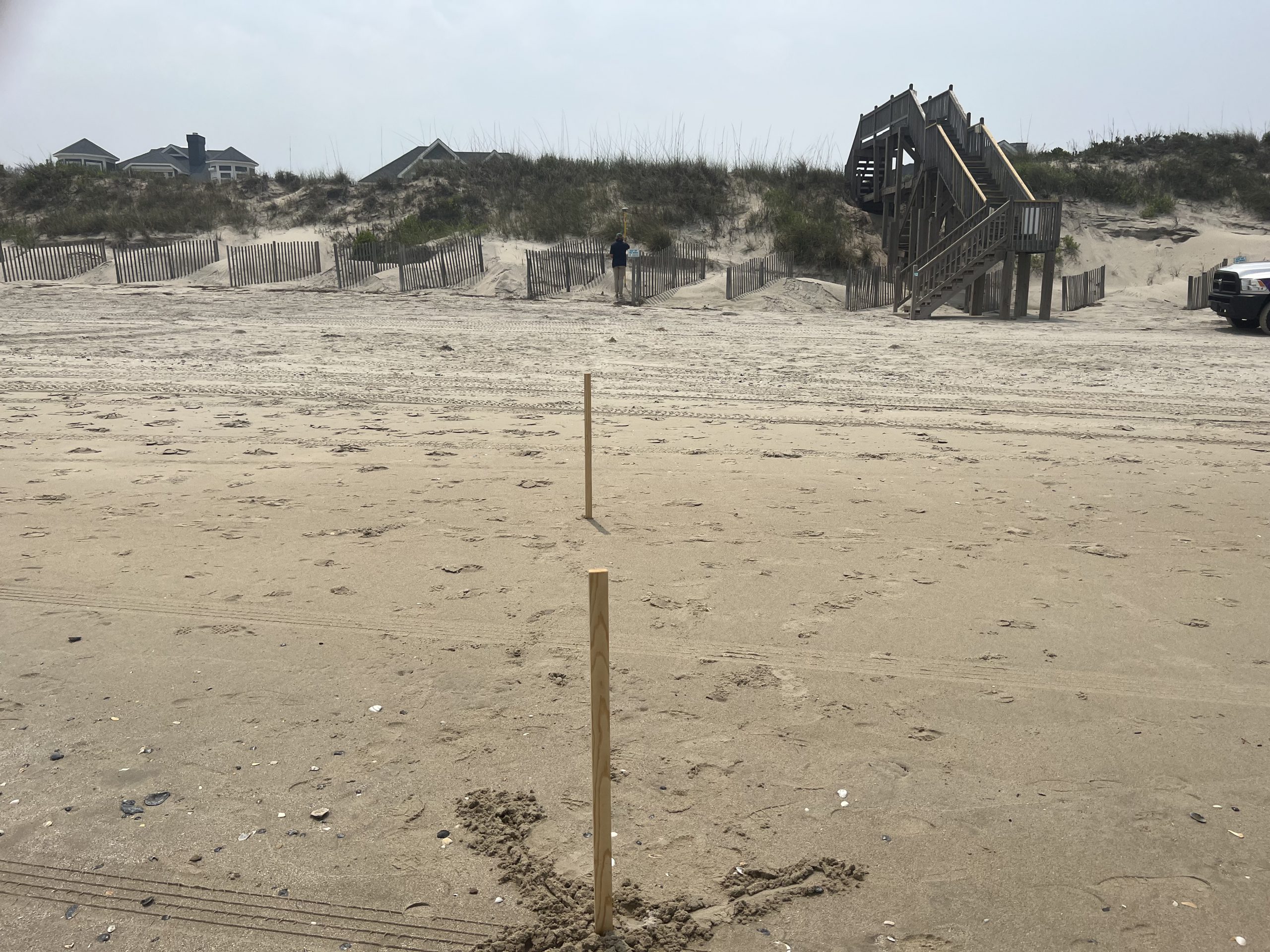
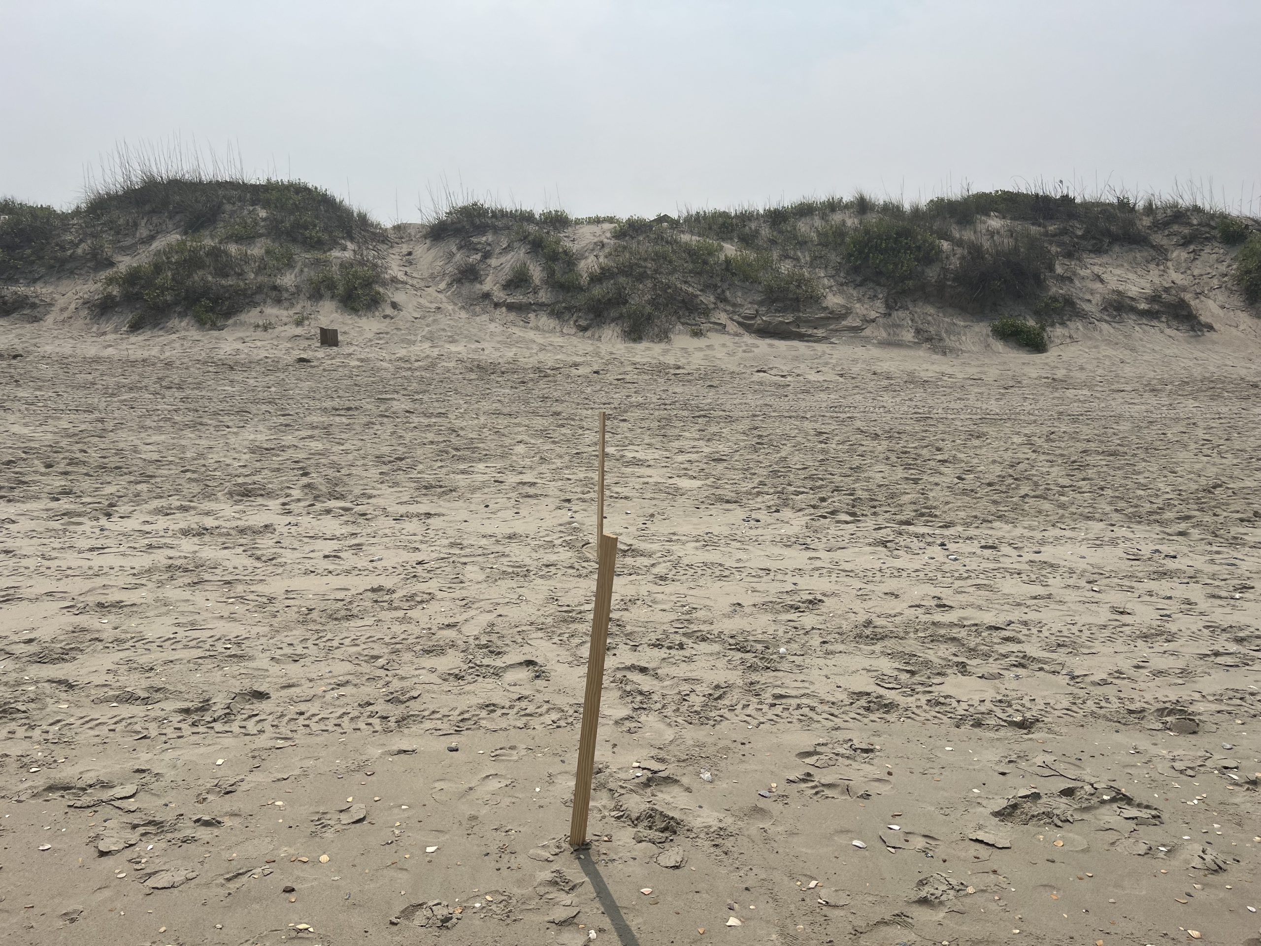
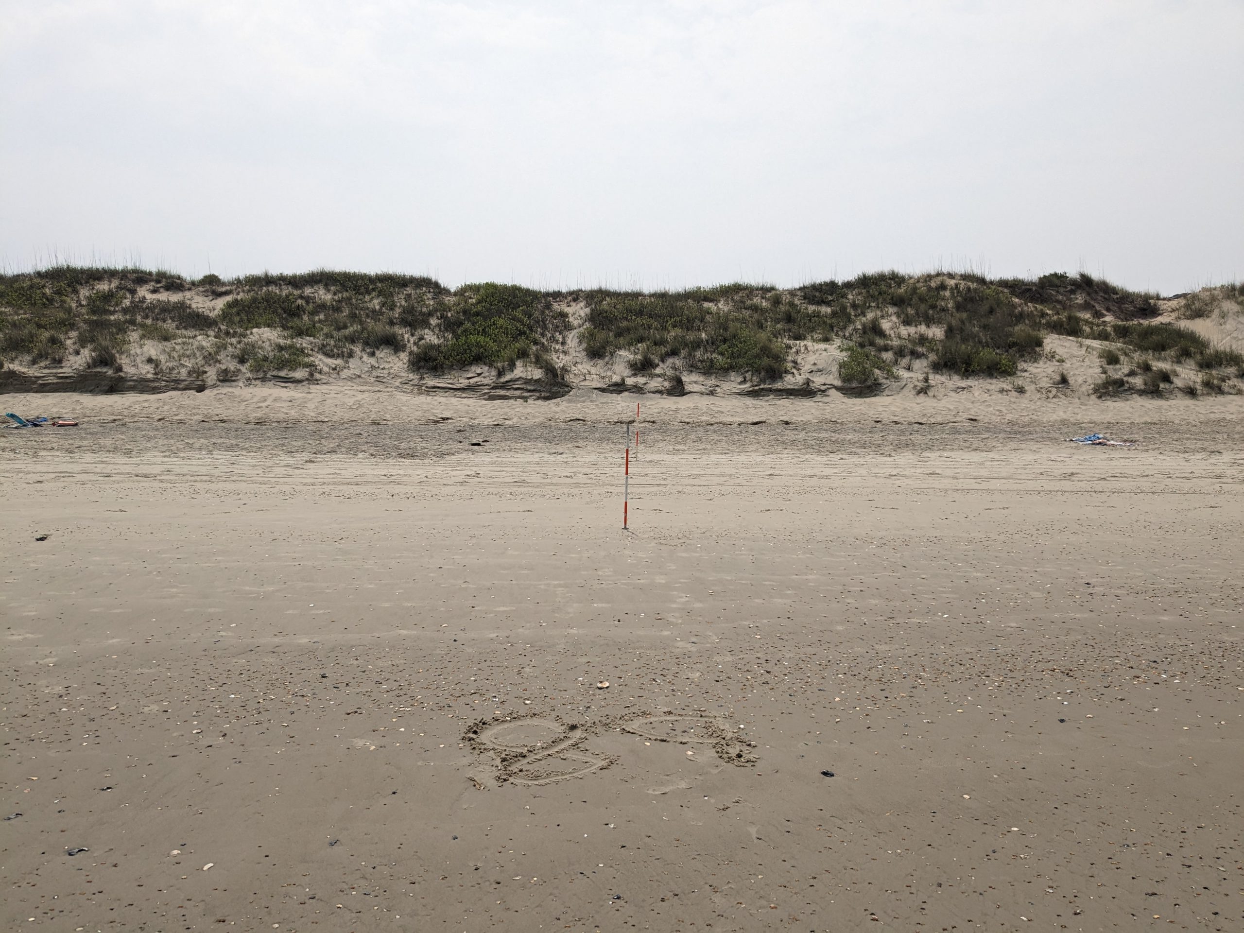
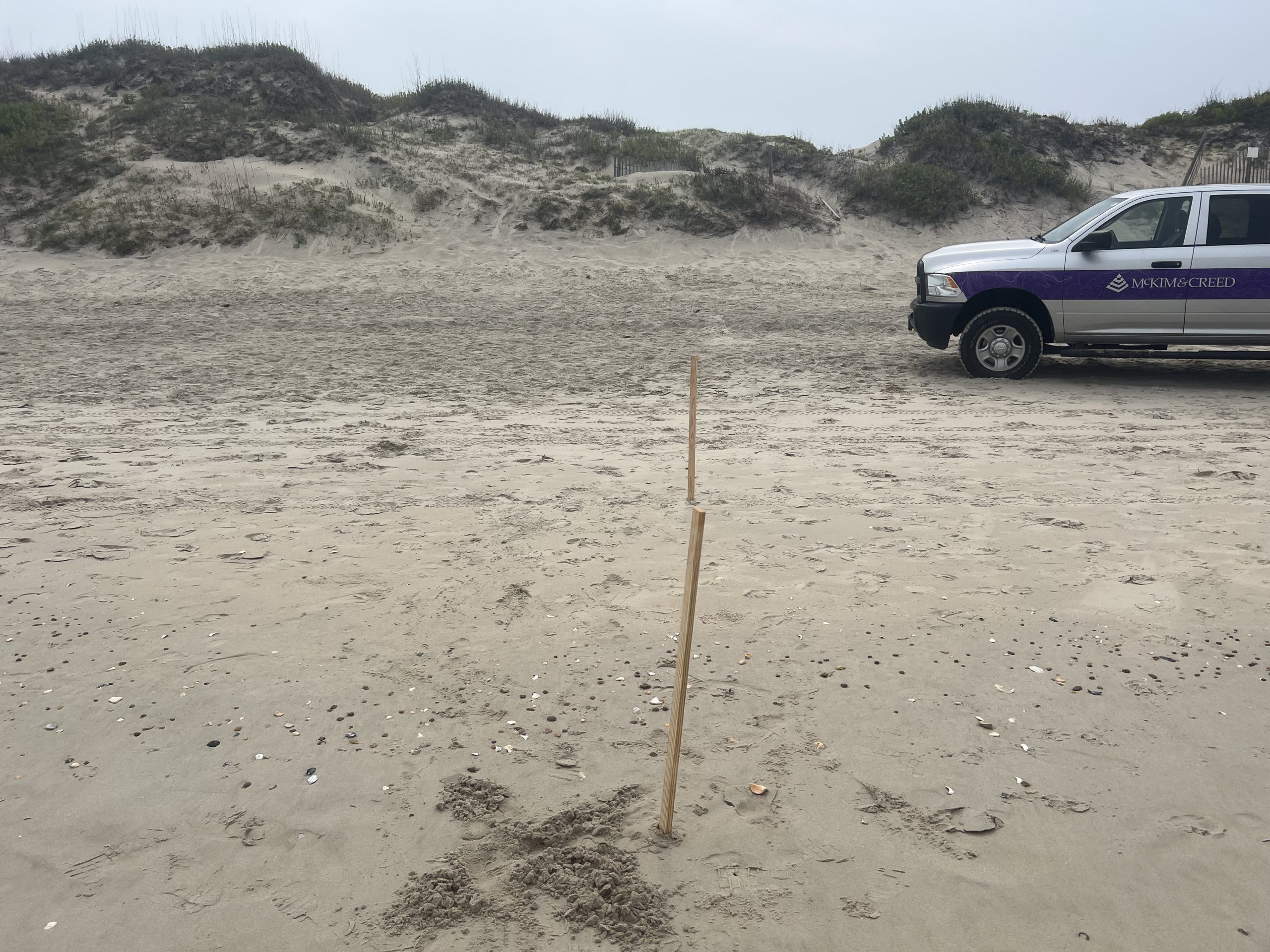
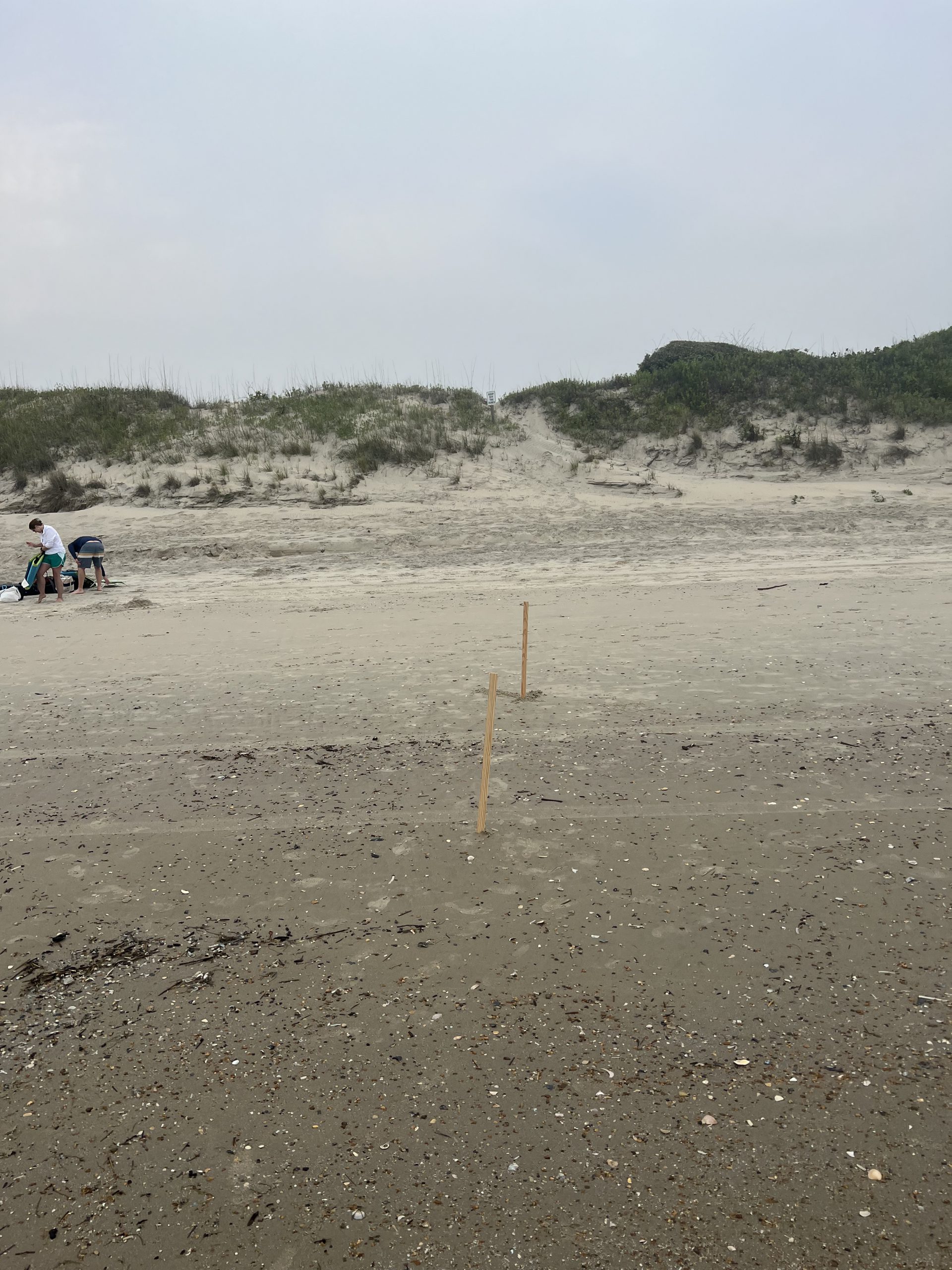
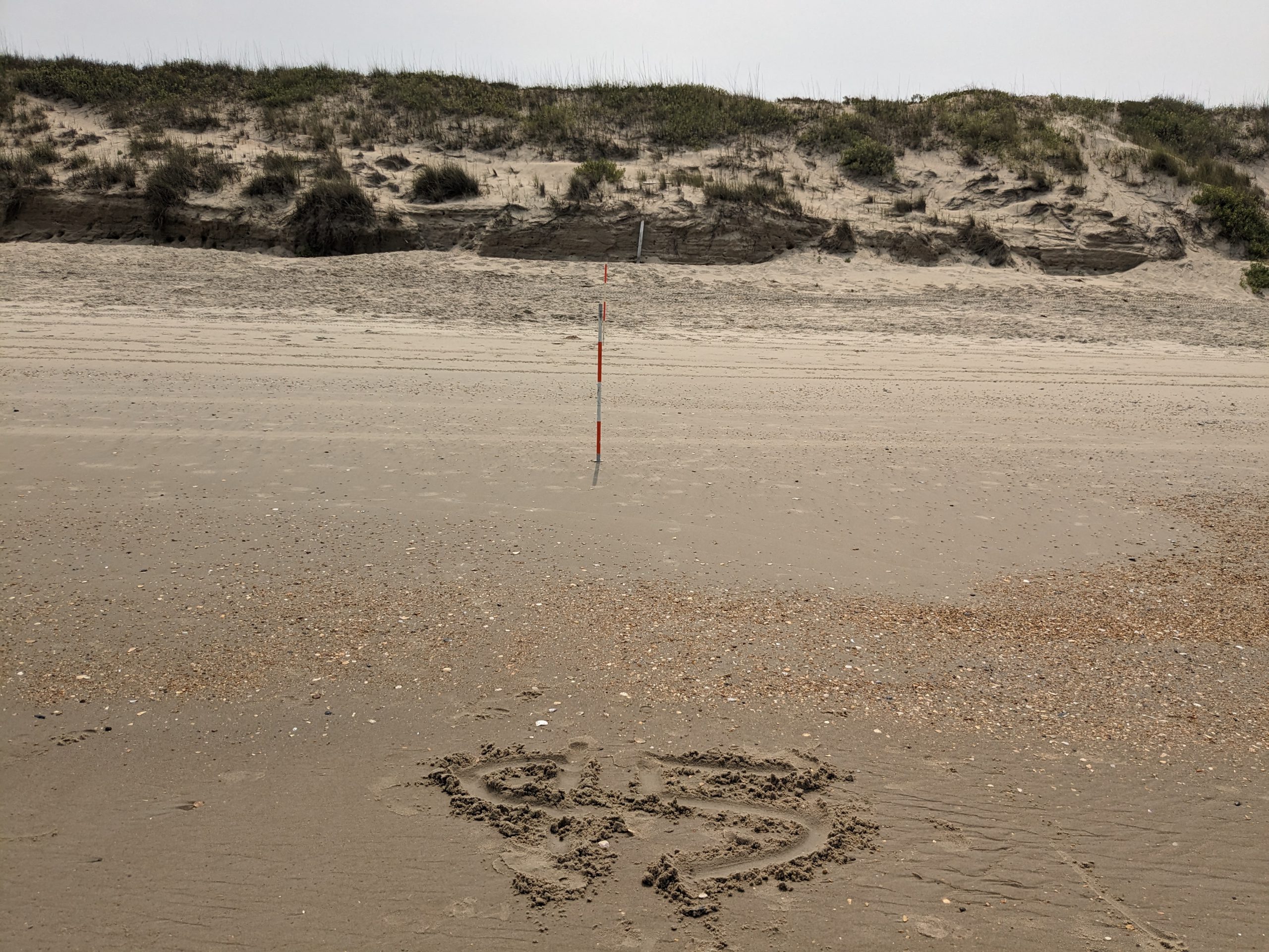
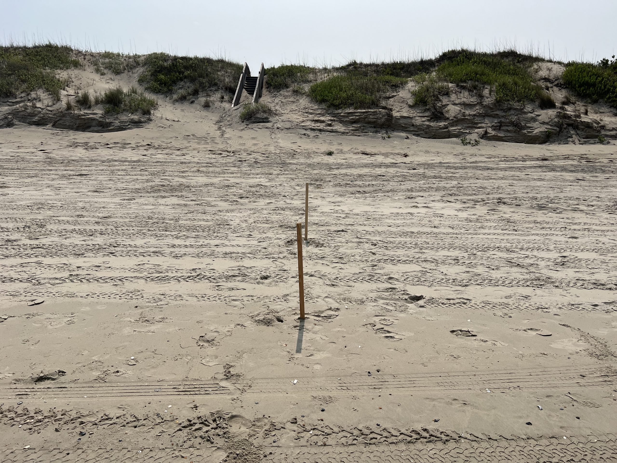
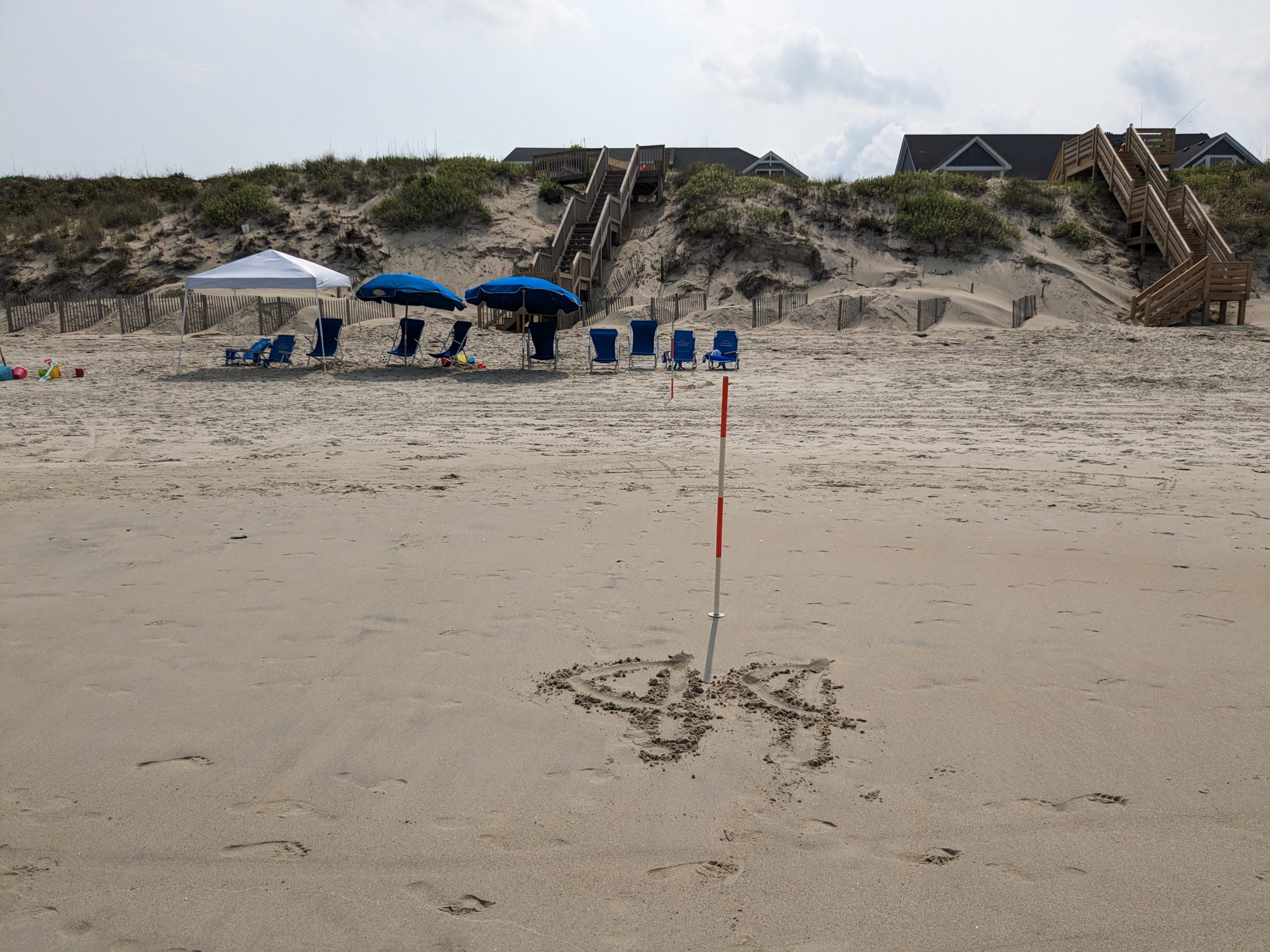
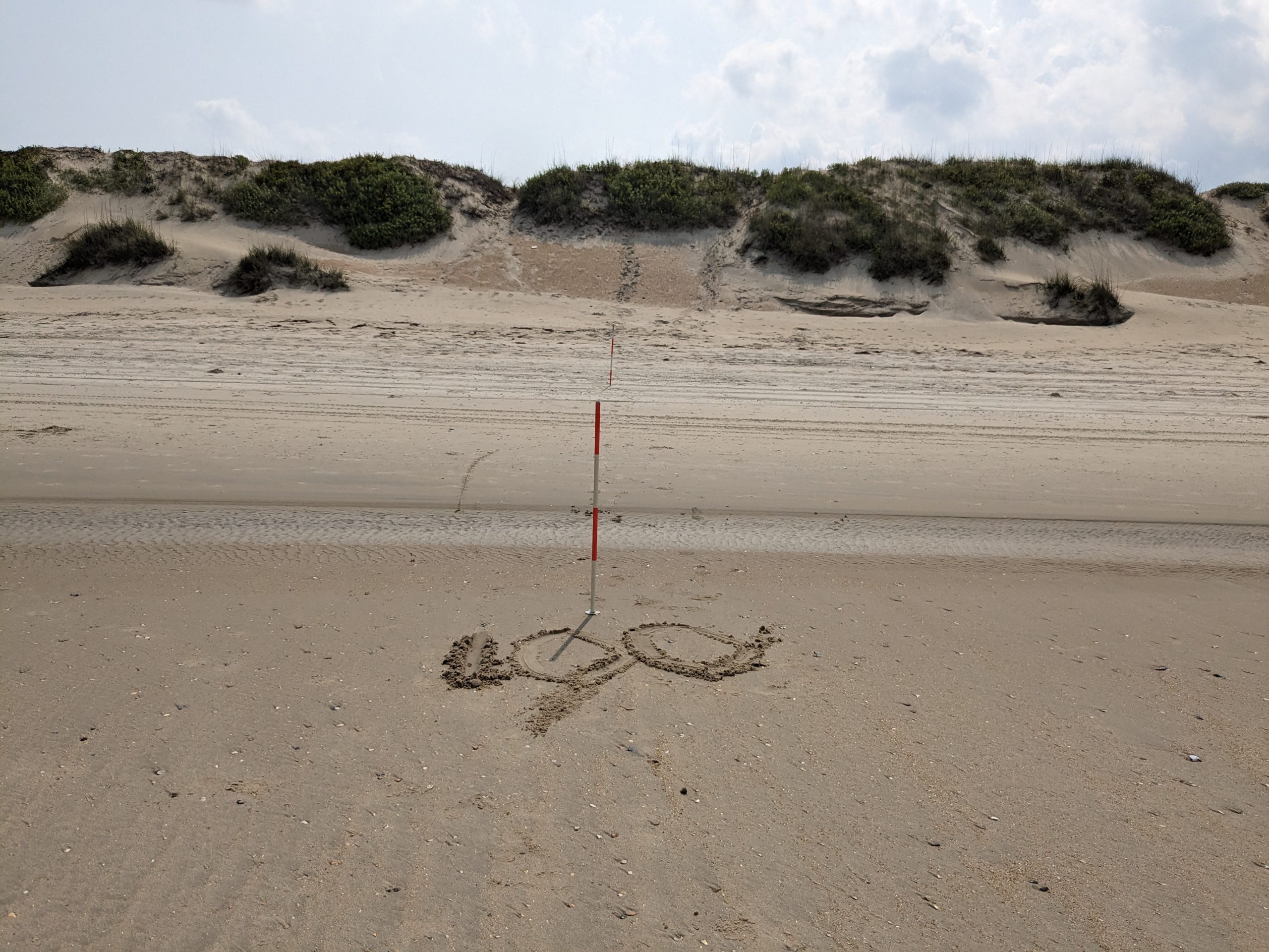
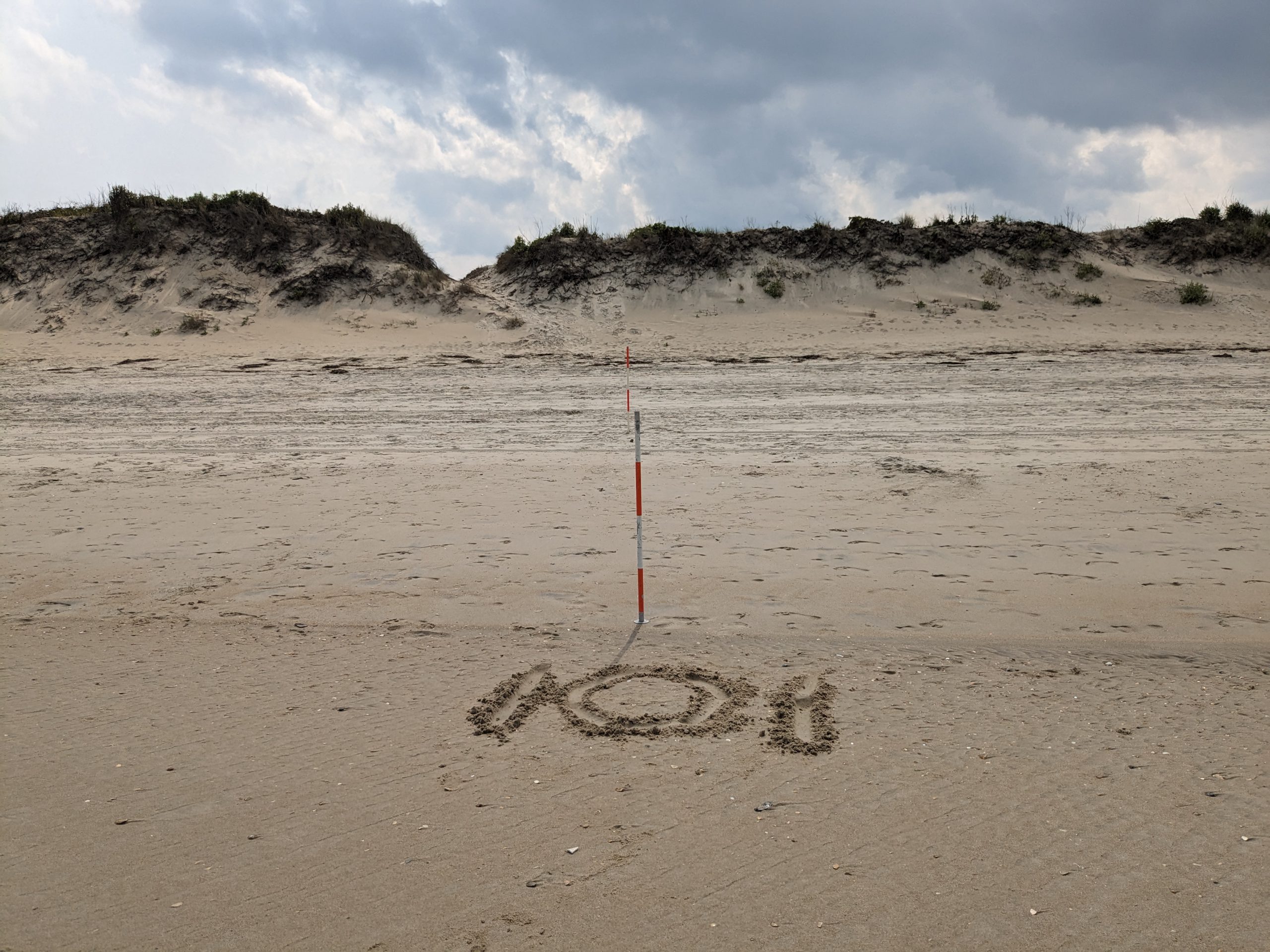
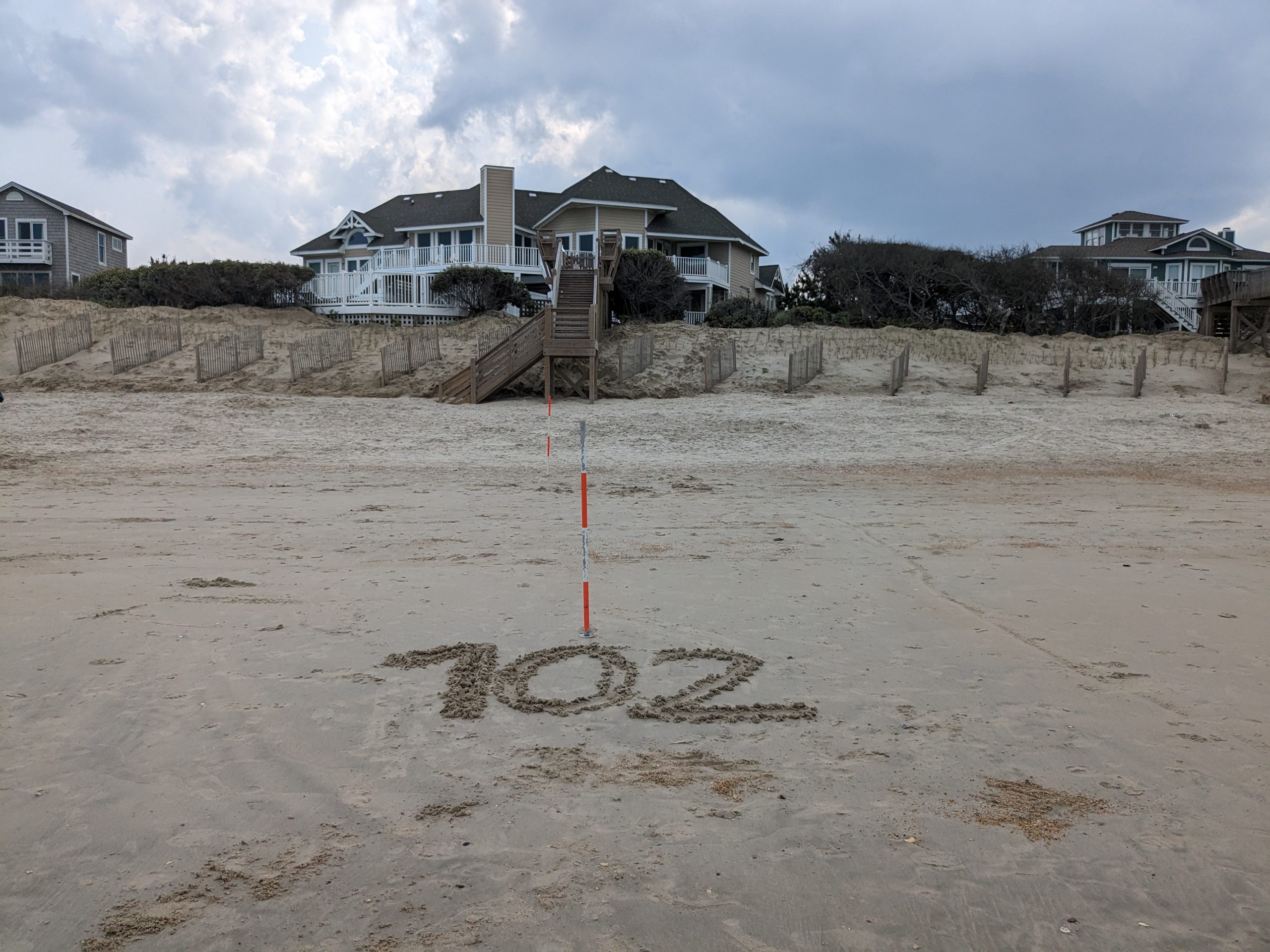
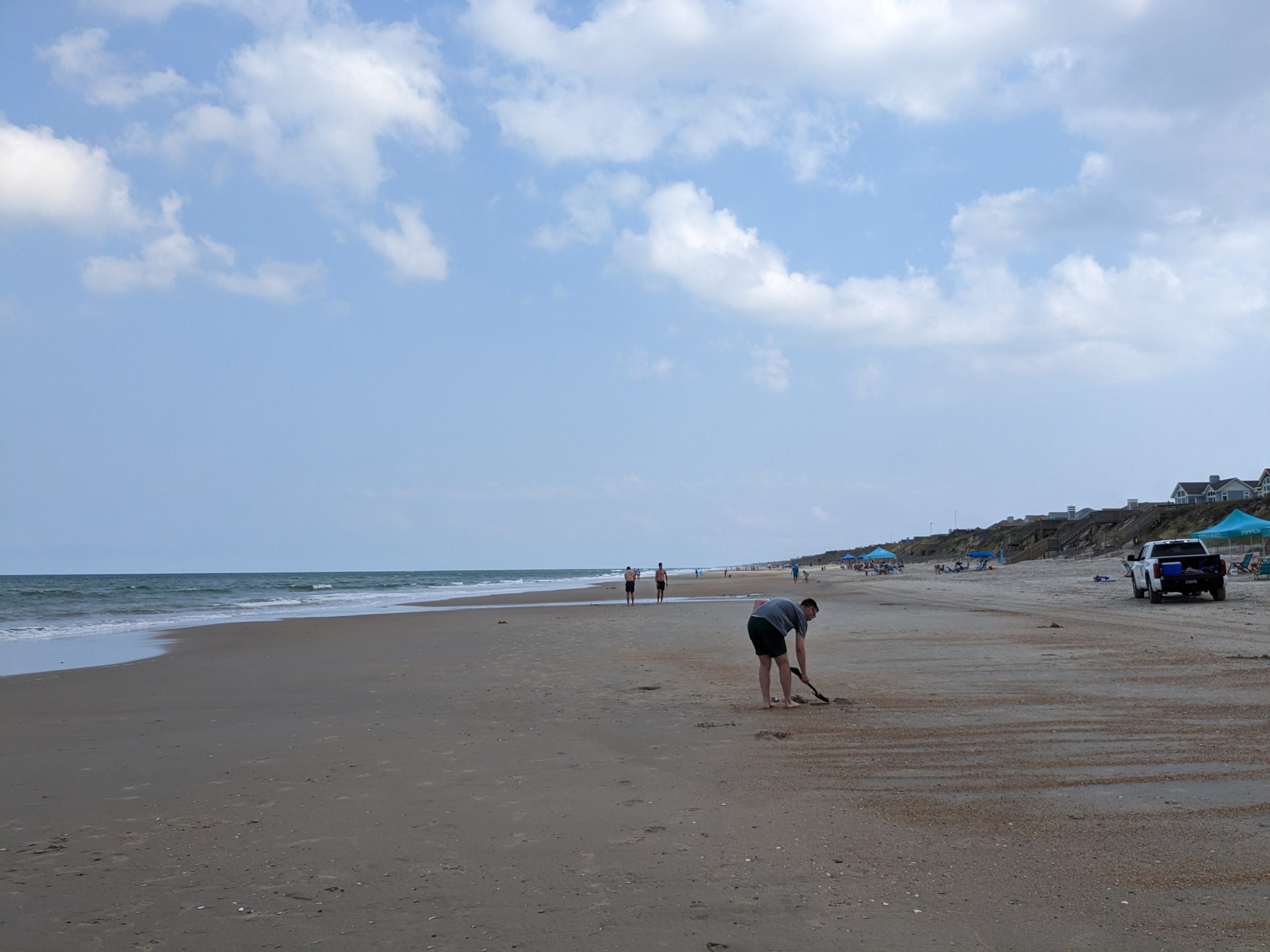
- Beach profile surveys every 1,000 feet
- Offshore bathymetric surveys out to a depth of 2,500 feet
Beach assessment occurred each year using the survey data obtained from the monitoring service.
Tasks associated with this included:
- Assessment of volume and shoreline change trend
- Projected shoreline changes into the future for a 30-year period
- Vulnerability analysis.
The beach stability assessment has been completed.
On March 6, 2026 the completed Shoreline Stability Study was presented to the Board of Commissioners at a Work Session by
Documents
Year 6 – 2025
- 2025 Beach Monitoring-and Beach Stability Assessment Report (PDF)
- 2025 Appendix B – Shoreline Projection Maps (PDF)
- 2025 Beach Monitoring and Assessment Report and Beach Management Plan presentation by Ken Willson, Coastal Protection Engineering (PDF)
- 2025 Beach Monitoring and Assessment Report and Beach Management Plan presentation by Ken Willson, Coastal Protection Engineering Video
Documents
-
Year 1 - 2020
-
Year 2 - 2021
-
Year 3 - 2022
- 2022 Beach Monitoring and Beach Stability Assessment (PDF)
- Appendix A – Topographic and Hydrographic Data Acquisition Report (PDF)
- Appendix B – Geotech Appendix (PDF)
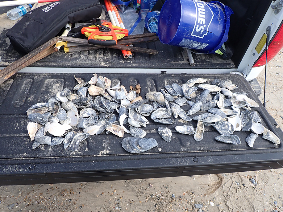
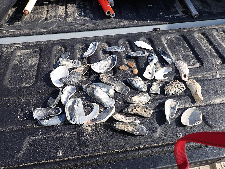
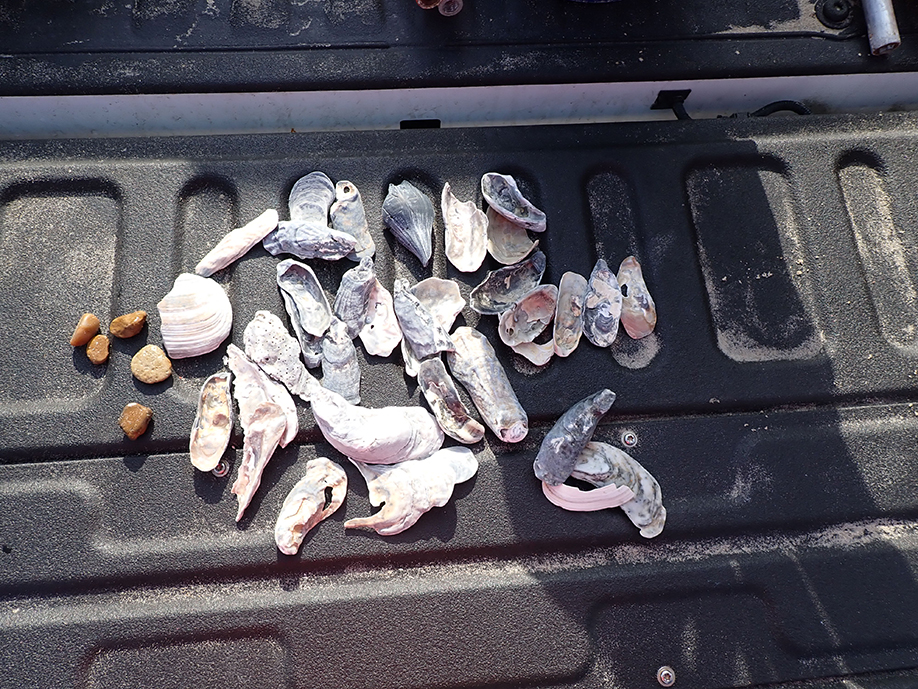
- Appendix C – Native Beach Large Sediment Shell Material Characterization Report (PDF)
- Appendix D – Impact Line and Projected Shoreline Maps (PDF)
- Appendix E – Bathymetric Charts (PDF)
- Appendix A – Field Book Pages
- Appendix C – Digital Files
-
Year 4 - 2023
- 2023 Beach Monitoring and Beach Stability Assessment (PDF)
- Appendix A
- Currituck Profile Plots
- Currituck Survey Plan View
- Currituck Survey Report
- Field Notes
- June 6, 2023 Land Field Notes (PDF)
- June 7, 2023 Land Field Notes (PDF)
- June 7, 2023 Wade Field Notes 1 (PDF)
- June 7, 2023 Wade Field Notes 2 (PDF)
- June 7, 2023 Hydro Field Notes (PDF)
- June 8, 2023 Land Field Notes CK (PDF)
- June 8, 2023 Land Wade Field Notes RW (PDF)
- June 8, 2023 Land Wade Field Notes TH (PDF)
- June 8, 2023 Hydro Field Notes (PDF)
- June 9, 2023 Hydro Field Notes (PDF)
- June 10, 2023 Land Field Notes CK (PDF)
- June 10, 2023 Land Wade Field Notes TH (PDF)
- Ground Photos
- Obstructions
-
-
- C-059
- C-060
- C-061
- C-062
- C-063
- C-064
- C-065
- C-066
- C-067
- C-068
- C-069
- C-070
- C-071
- C-072
- C-073
- C-074
- C-075
- C-076
- C-077
- C-078
- C-079
- C-080
- C-081
- C-082
- C-083
- C-084
- C-085
- C-086
- C-087
- C-088
- C-089
- C-090
- C-091
- C-092
- C-093
- C-094
- C-095
- C-096
- C-097
- C-098
- C-099
- C-100
- C-101
- C-102
- C-103
- C-104
- C-105
- C-106
- C-107
- C-108
- C-109
- C-110
- C-111
- C-112
- C-113
- C-114
- C-115
- C-116
- C-117
- C-118
- C-119
- C-120
- Appendix B – Project Shoreline Maps (PDF)
-
-
Year 5 - 2024
